Every day when I’m out on a backpacking trip, I study my maps. Sometimes, I’m trying to figure out where I am, other times I’m looking at the path ahead to figure out what to expect in terms of turns and elevation changes. As long as I’m not too exhausted each night, I like to get an overview of the next day’s miles before bed. When Ambrose was alive, we’d review them together.
This trip was no exception. So when I woke up on the morning of Day 4, I was fully expecting a hard uphill hike of 800 feet to the saddle in less than a mile, followed by a steep downhill following Barlow Creek all the way to Big Smoky (about three miles). From there, I’d be only about a mile from the trailhead. I just needed to go up 800 feet and it would be all downhill from there.
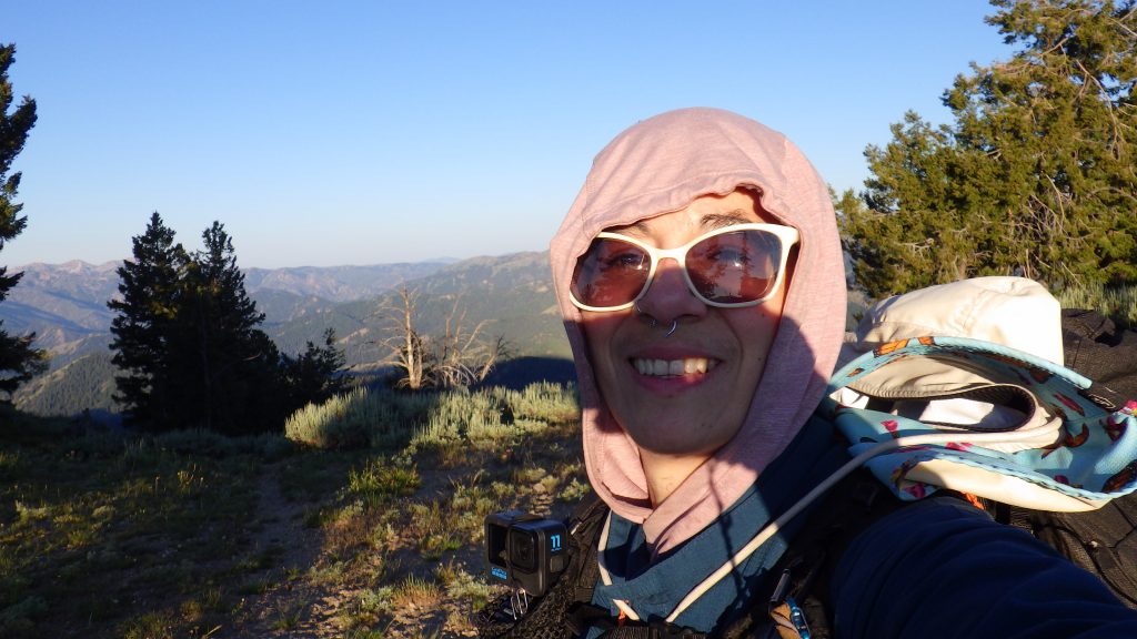
The morning was cold. I kept my down jacket on as I did my packing inside the tent and after I had gotten out to pack the tent up. But I knew that the intense uphill hiking I was about to undertake would heat me up quickly, so I braved the cold and put my jacket away just before I left the campsite. I wore my gloves against the morning chill and set off to meet the sunshine up the hill.
A bit downstream from my campsite, I came across another fire ring. It was closer to the creek and didn’t seem like a great place to camp to me. I continued along the trail and began to hike uphill. I was going to be gaining a lot of elevation in not a lot of distance.
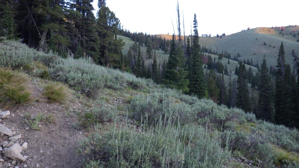
The trail kept going in the opposite direction than the one I expected. I wanted a switchback to get my back in the right direction and it seemed to take forever to appear. I was still cold despite the exertion, but then I reached the sunshine.
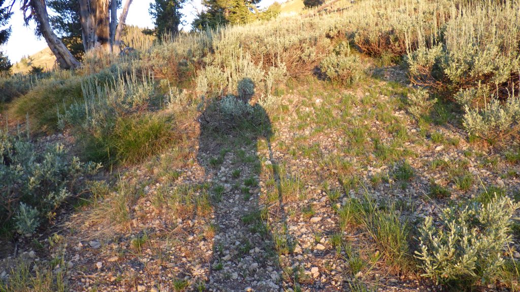
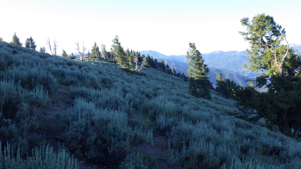
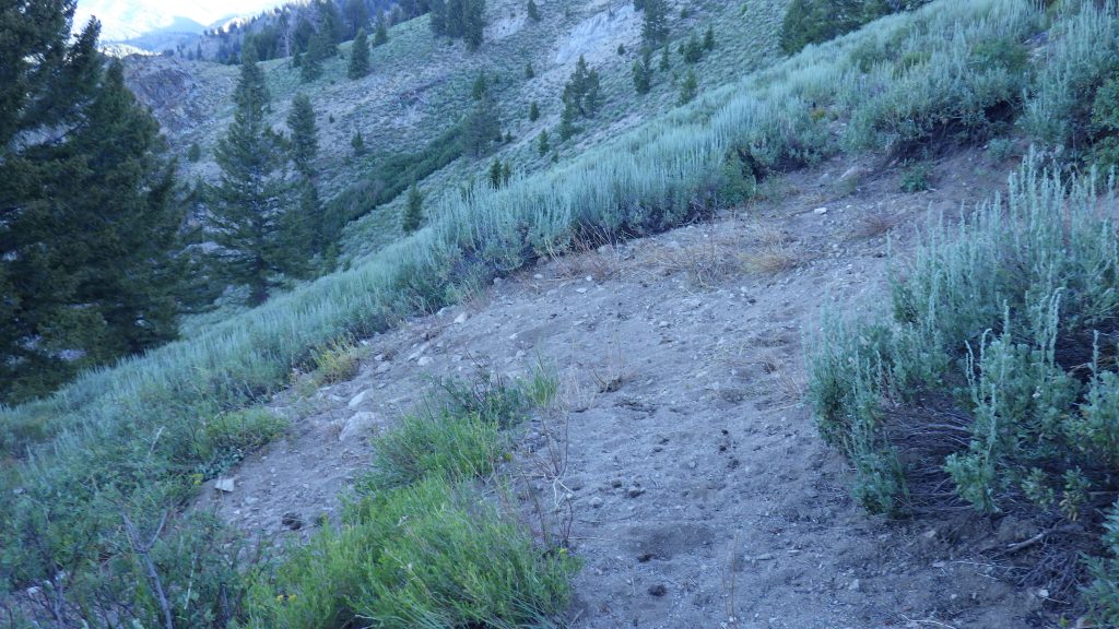
Sunshine always helps me get warmer. Maybe a bit too warm, as I did start to sweat a bit after I was hiking uphill in the sun. I lost the trail when it turned from going up the ridge to going up a hill, but I found it again thanks to a convenient pile of rocks. After going up a bit more, I came upon a small flat section. It looked like it would be a decent place to camp, if you hauled in your water.
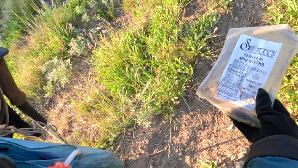
Then more long switchbacks. I found a plastic package, empty, that contained teriyaki meat snacks at one point according to the label. It was empty now, with holes chewed in it. I picked it up and put it away to pack out. Then I had a minor rant on camera about folks who don’t secure their food.
As I continued, I kept checking my altitude to see how much more climbing I had to go. It looked like I was getting close to the saddle. I even felt the “saddle breeze” which is a phenomena that I’ve experienced where the closer you are to the “top” the more the wind blows. And when I reached that saddle, I realized that I had misread my maps and my GPS. It wasn’t 800 feet that I’d climbed, but only 600! What a relief to be done, and it wasn’t even time for my first break yet.
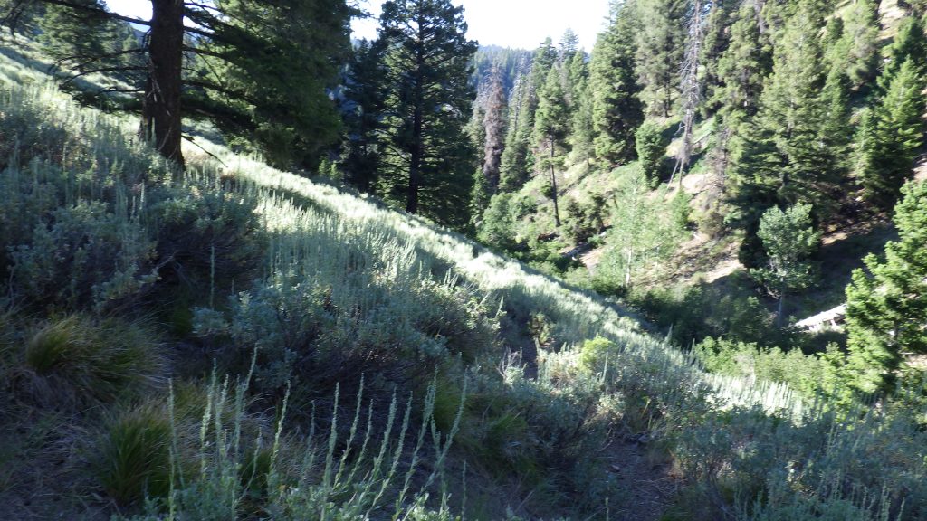
I had that break down on the other side, and it was a chilly one. You see, the side of the ridge I was now on was protected from the sun, and I was descending instead of climbing, so I wasn’t generating as much heat. Well, on my break I was sitting still and not generating any heat. Plus, I’d gotten all sweaty and all that sweat was now cooling me off all too well. That was a hurried break and then I started hiking down the long switchbacks through sagebrush.
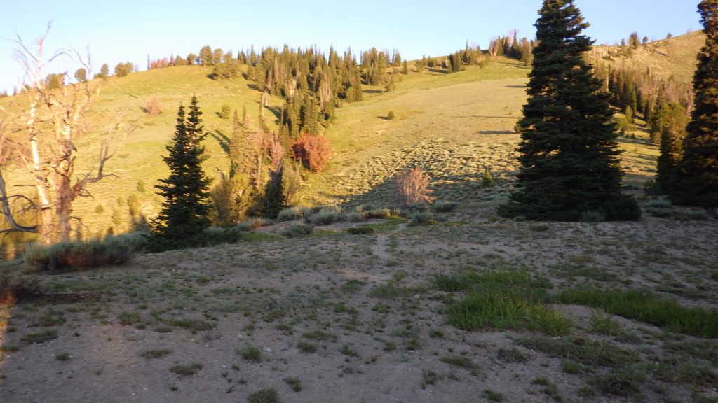
When I reached another saddle, I got distracted. The sun was shining again and it was just so nice and warm on my skin that I forgot to pay attention to the trail that i was hiking. I ended up hiking past the switchback turn. The sagebrush grew in such a way that I thought I was still on trail when I was just walking between the bushes. I started to go down following those gaps, but they stopped looking like trail. I pulled out my GPS and discovered my error. I had to backtrack a bit to get back on the trail, but it wasn’t too bad. The weight of the pack on the last day of the hike is a lot lighter than at the beginning.
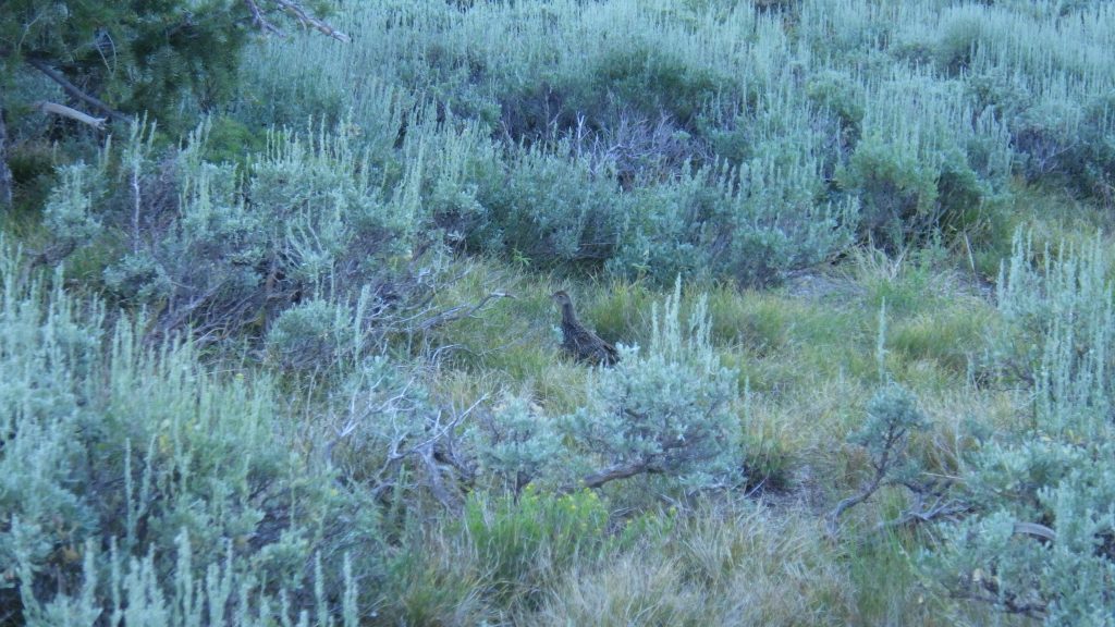
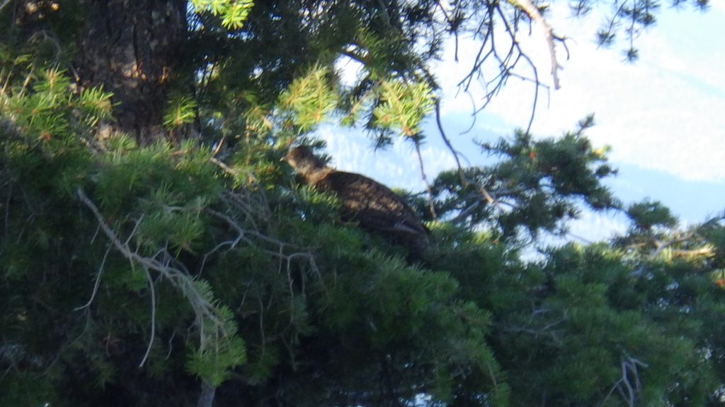
I startled a pair of grouse while hiking and quickly turned my GoPro on in case there were more. I wanted to get footage of them flying. But I also could see one on the trail and another in the tree so I got pictures of those before moving forward and catching two more fly away on my video.
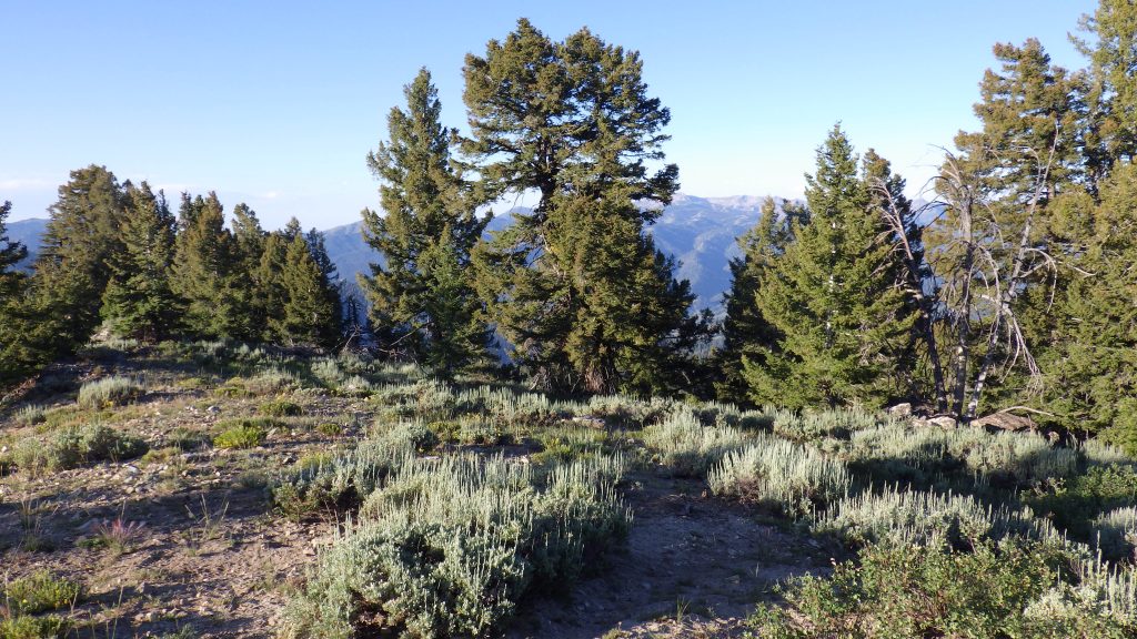
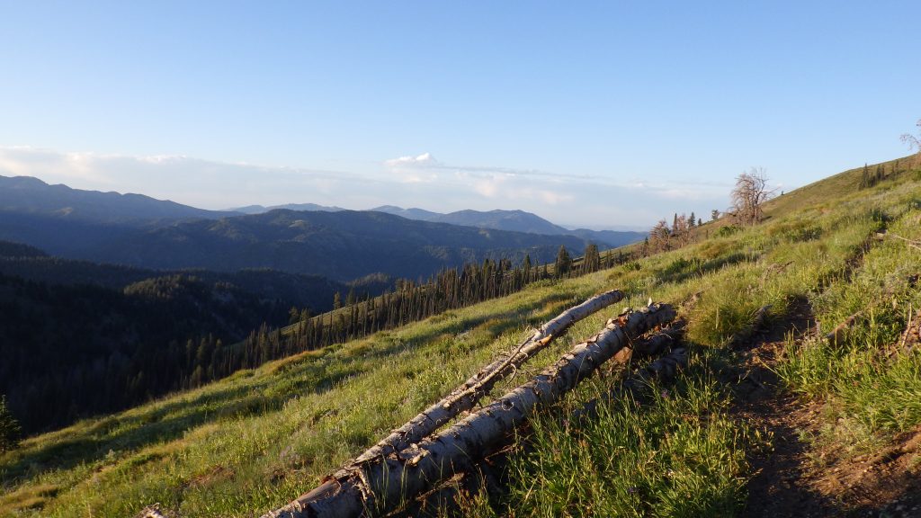
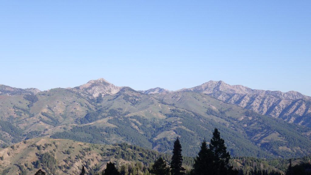
I took the time to look across the valley as I hiked. The view was expansive and clear. I realized that I could see Newman Peak, which is a mountain that Ambrose used to hike partway up with his ex and a telescope to stargaze. He was very into stargazing at one point in his life, but we never really did that together. A couple years before he died, we tried to hike that peak, but I got a bit altitude sick (the peak is over 9500 feet) and we ended up turning back, though we had a plan for how we might summit it. I hope to go back there someday and get to the top.
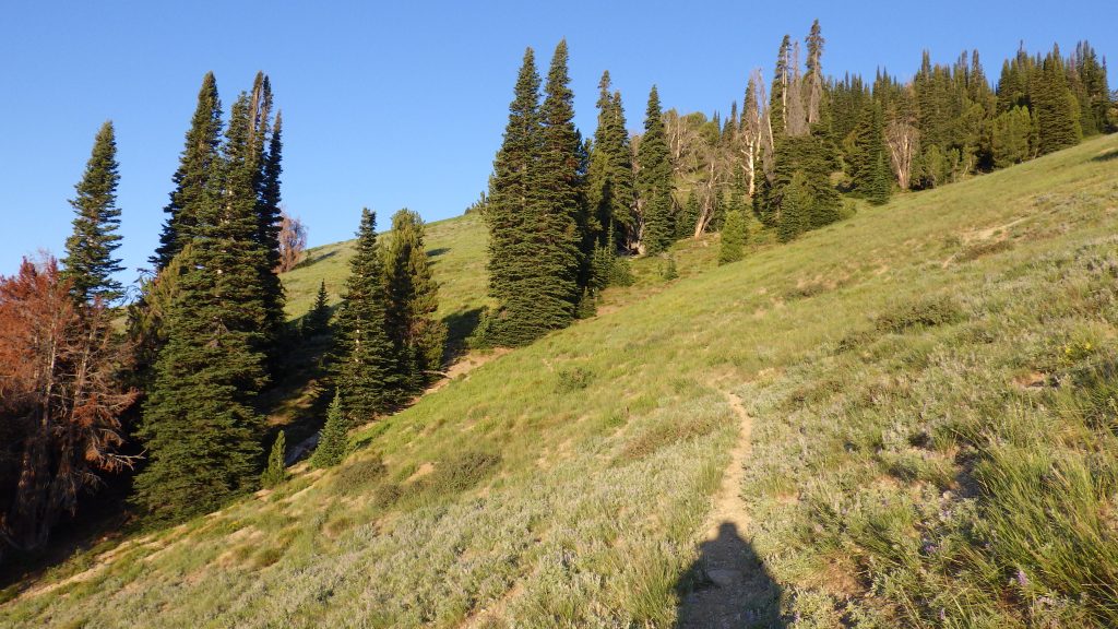
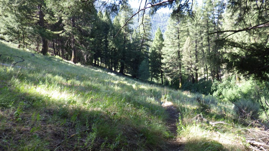
There was one more time when I lost track of the trail, again because of how the sagebrush was growing. I found this one without help from the GPS when I spotted the rocks for the next switchback turn. The trail continued to descend on switchbacks, slowly changing from sagebrush to a more wooded meadow vibe. I stopped for a break near some trees, not long before the end of this part of the descent.
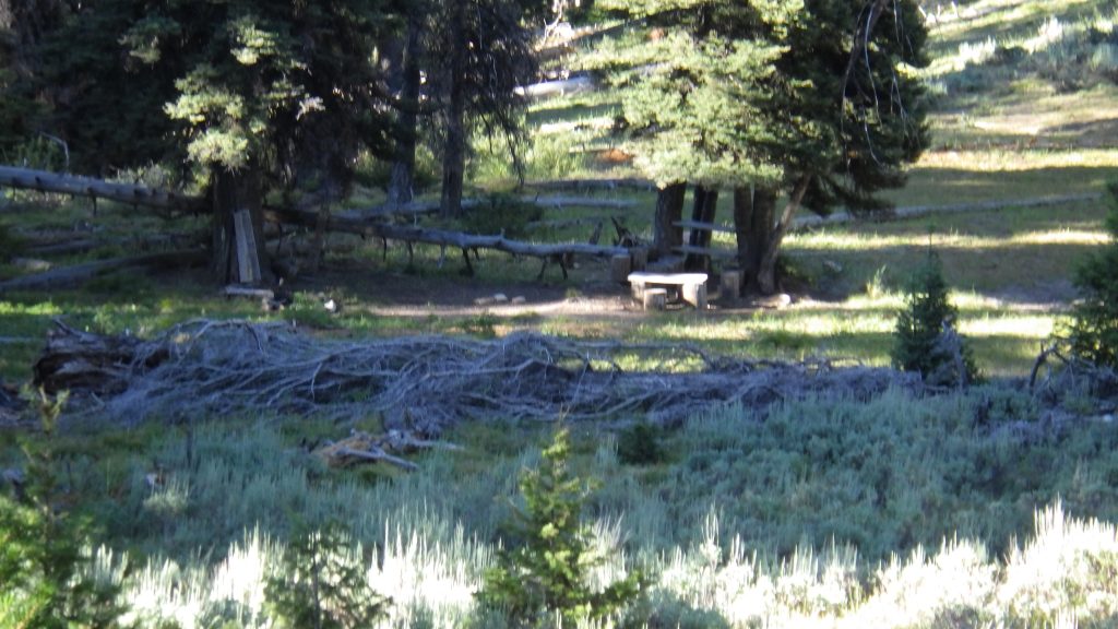
Around where the trail turned and started to follow Barlow Creek instead of switchbacking, I spotted a campsite. This one had a wooden bench, though no picnic table that I could see. It looked like a nice campsite from a distance, but the trail didn’t go close to it and I was too lazy to check it out closer. At this point, I was ready to get to the trailhead and make my way to the Prelogar roadside hot spring – and then to Fairfield for a burger and milkshake!
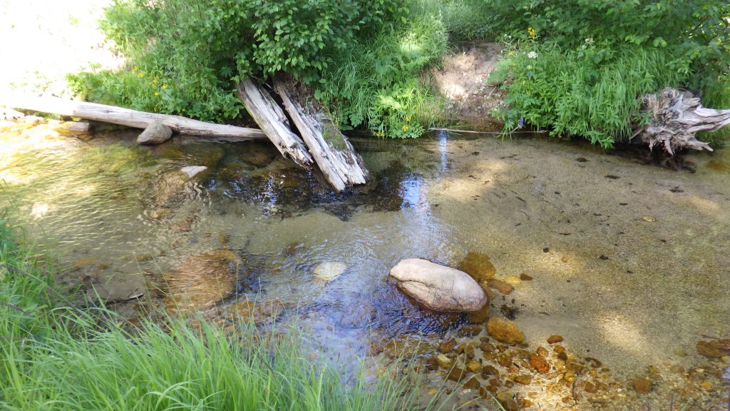
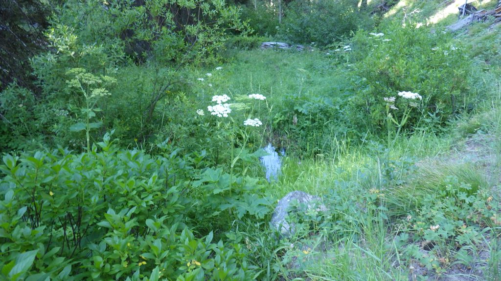
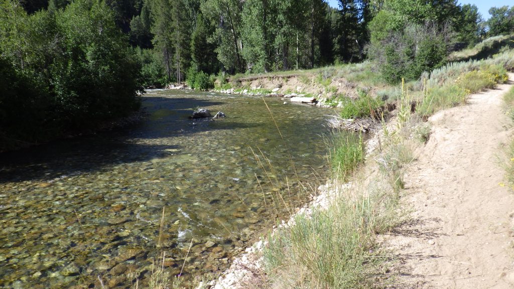
Barlow Creek wasn’t flowing at the first point that the trail crossed it, but as I continued to descend, I could hear and then see the water flowing. The second crossing had me stepping over water, though the stream was narrow and shallow. I could see from the map that the trail would soon cross back, but what I didn’t expect was a trail junction. I guessed that it led to a campsite since it wasn’t on the map or GPS, but I didn’t bother to check it out.
You’d think that going downhill would be faster, and it is, to an extent. But when the trail is just going straight downhill at a fairly steep angle, I have to slow down a bit to keep from slipping and falling, especially where the trail has loose gravel or dirt. I’m just glad that the trail wasn’t open to motorcycles, because it was hazardous enough without the additional churning that the wheels would make.
As I hiked, I figured this trail would be a pain in the butt to take the other direction. It would be nearly unrelenting uphill for something like four miles. To be honest, I might like it, but I don’t know what I’d want to take anyone else on it. At least there was water, and if I were starting early from the trailhead, I’d be in shadow a long time while hiking up. The sun had risen high enough since I’d been hiking that it now was shining whenever I wasn’t walking through copses of trees.
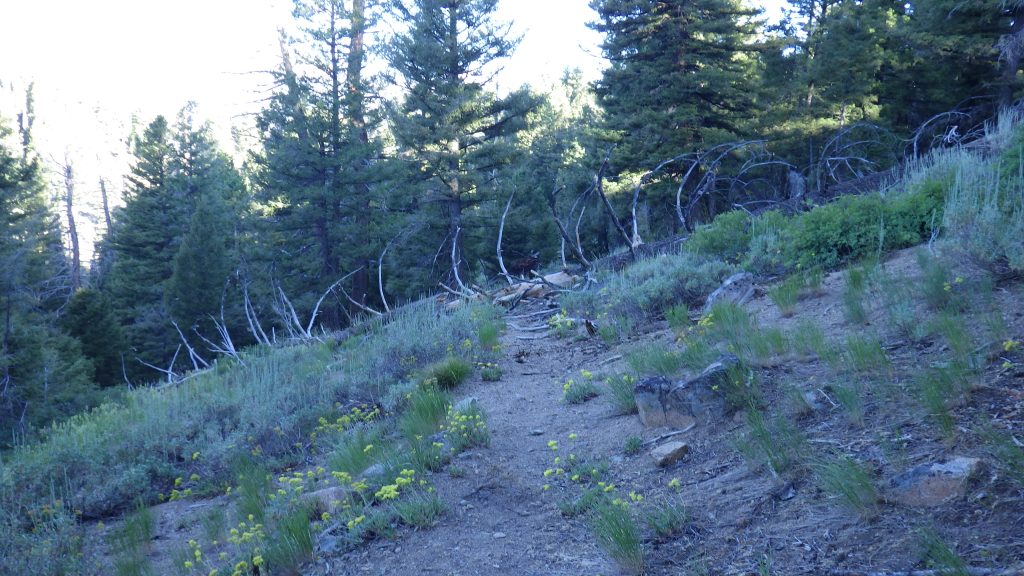
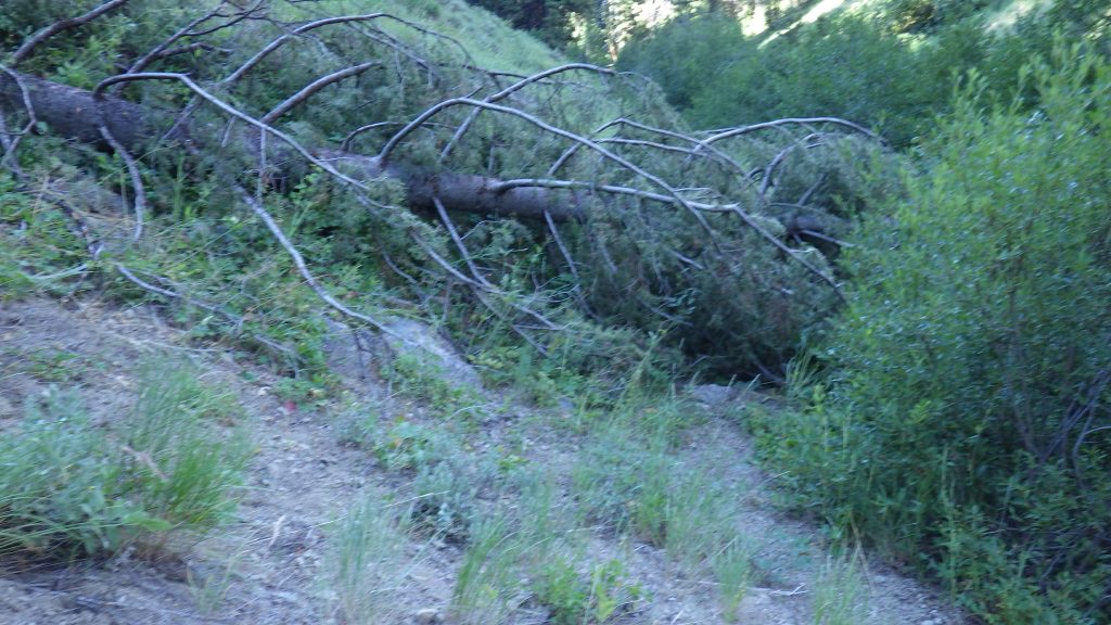
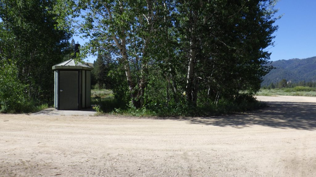
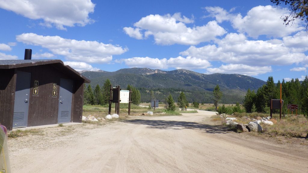
The trail was in decent condition, but there were a few downed trees to navigate as I went on my way. I took a third break about a mile from the Big Smoky trail, and then made excellent time to it, motivated by a desire to reach the privy at the trailhead, as I usually am on the last day of a backpacking trip.
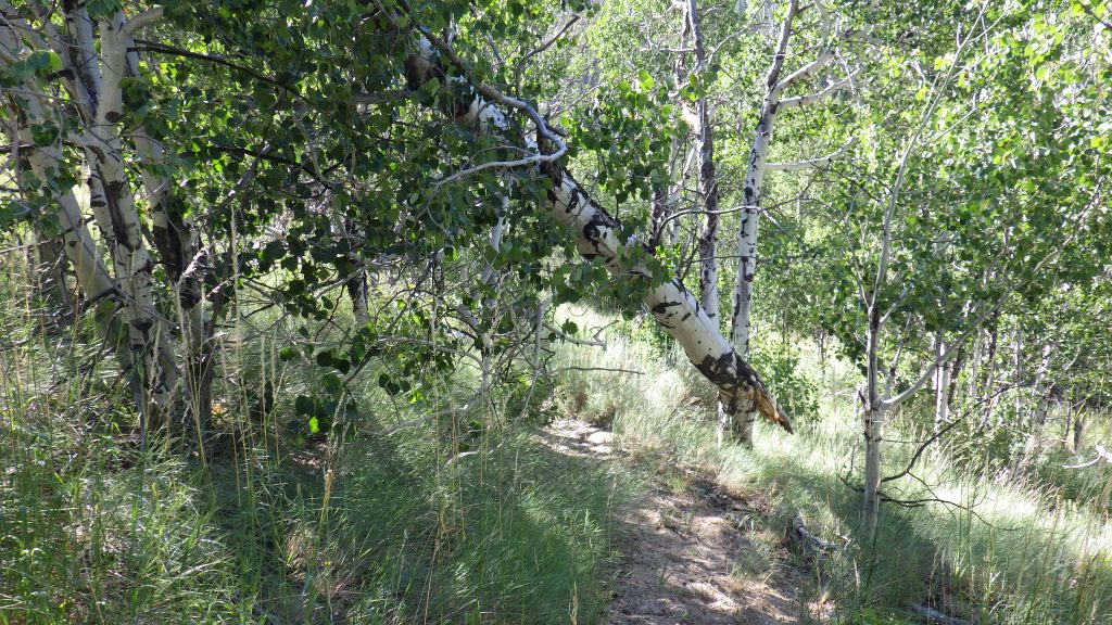
I thought I knew how this trail joined up with the Big Smoky, but I was wrong. It didn’t turn from Barlow Creek and follow it straight up. Instead, it angled through a meadow to a stand of aspens and then turned to follow the direction of Barlow. I suppose right next to the creek was an unreliable place to have the trail, subject to spring flood issues.
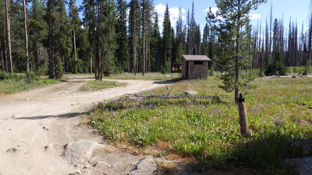
Once I got onto the Big Smoky trail, it was smooth sailing. I’ve hiked that section of the trail so many times. Day hikes and backpacks, with Ambrose, solo, with my best friend, and with my eldest niece. It’s sandy surface makes it easy to put on some real speed. Soon enough I was at Calf Creek and the wooden map, and then the privy.
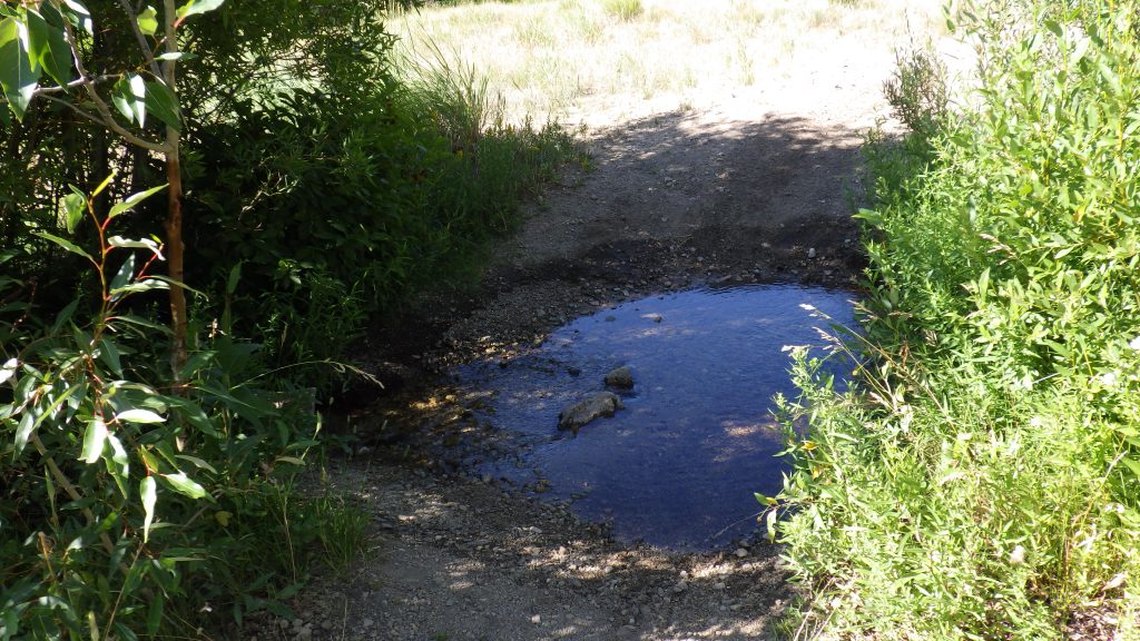
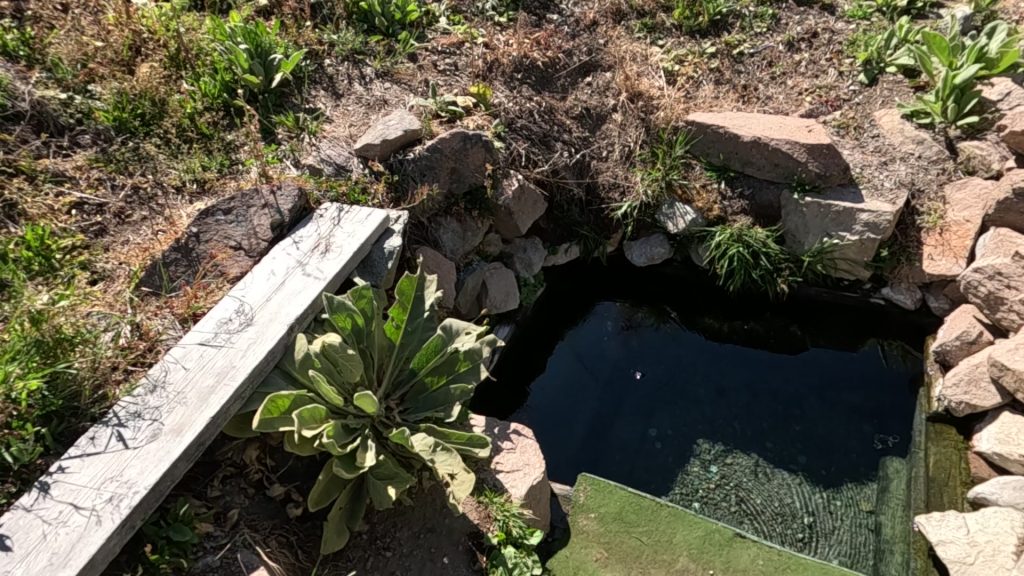
After I finished in the privy, I got myself set up to drive to the Prelogar hot springs. Prelogar is a mini spring at the side of the road. You can fit two, maybe three people in there if you all like each other a lot. The first time Ambrose took me there it was a surprise. He just pulled over and told me to get out of the car. Now it’s a tradition.
When I got to Fairfield, expecting a burger and a shake, the burger joint turned out to be closed on Wednesdays. There was a food truck offering cheese steaks, but I decided to drive on in the hopes of finding a burger on my way. Normally, I’d turn right at Fairfield, head to Mountain Home and then Boise along 84. But on this trip, I’d decided to take the back way up to Big Creek, so I turned left and made my way to Bellevue, Idaho.
That town was big enough to have restaurants, and I spotted a southwestern place that would probably hit the spot, even if it wasn’t a burger. But I parked around the corner, and before I got to that restaurant, I came across Betty’s Authentic Peruvian food. There was no way I was walking past the chance to eat some Peruvian food, so in I went for some Lomo Saltado to eat and Chicha Morada to drink. I also got an Inca Cola to go. The food was great, and I can’t wait to get back there and try their ceviche.
As I made my way from Sun Valley to Stanley, I realized that I’d forgotten how beautiful that drive is. The views of the Sawtooths are amazing when the air is clear. I thought about taking my family on this drive, for the views and the Peruvian food. .
I got gas in Stanley to be on the safe side, and then headed towards Dagger Falls, but a few miles before I would have been able to turn off 21 I got stopped by construction. A one lane road made for a long wait. And I ran into another one lane section on the dirt road to Dagger Falls. I stopped at the rest area at the turn off to Dagger Falls.
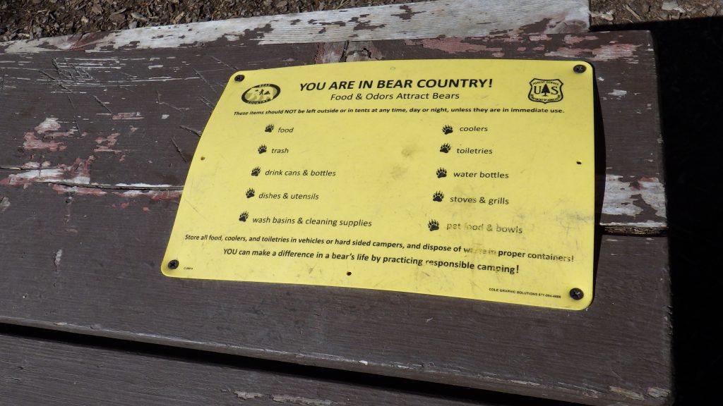
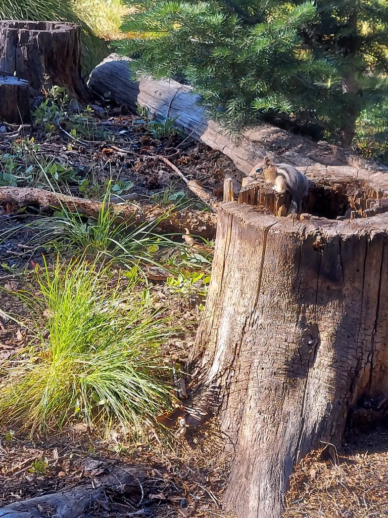
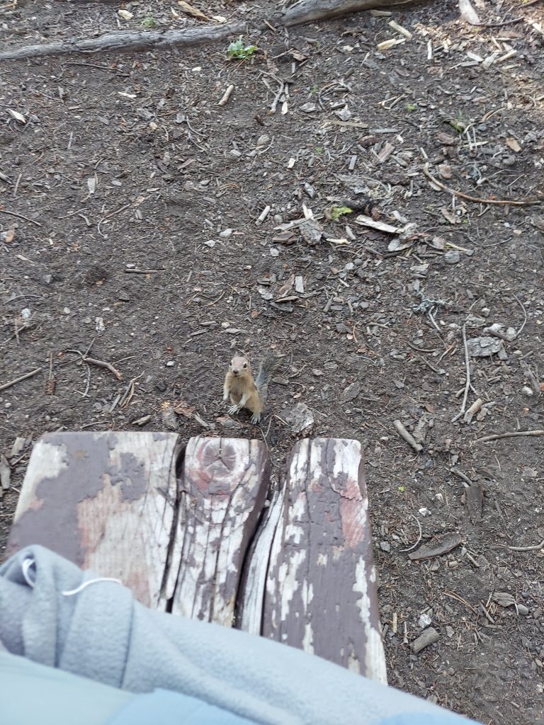
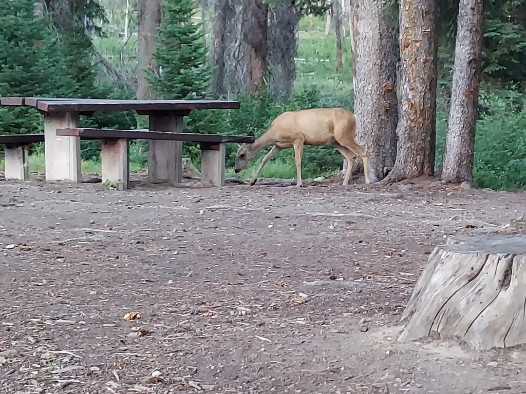
And just when I was starting to get hungry for dinner, I found myself around 5 pm at the Deer Flat Campground. This campground had clearly suffered from some fire damage in recent years, which explained why it was not only empty but had no fees. I was happy to find an empty campsite, especially because the privy wasn’t very smelly. I picked a site near a stream, with a picnic table that warned me that this was bear country, and set myself up for another night of cowboy camping under the stars. There were beggarly rodents and curious deer for company. A good start to the second part of my vacation.