My original plan was to spend the night at a friend’s house in Nampa and then drive out and start hiking in the afternoon. However, that plan had to change after someone at that house got sick. The alternate plan was to drive out the day before, so that’s what I did.
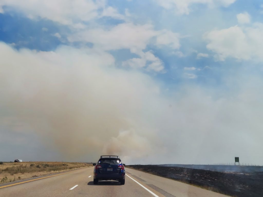
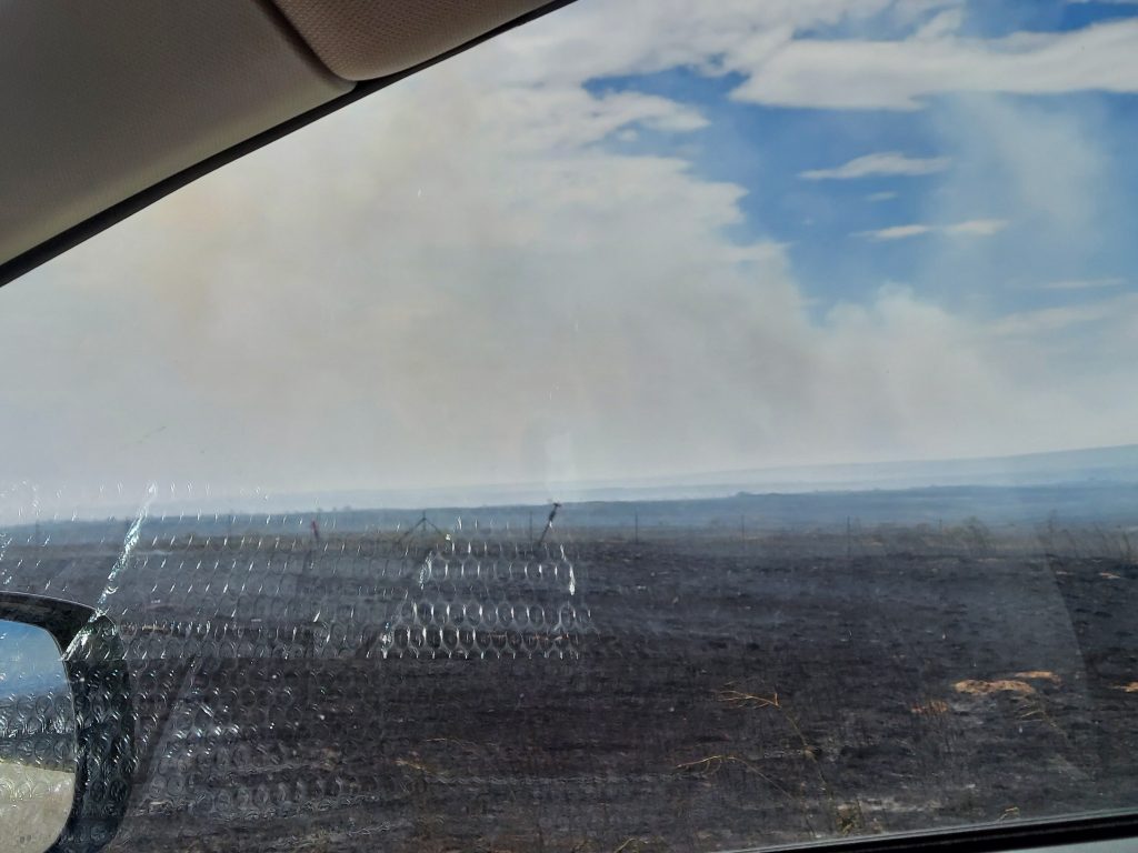
Usually, the drive out to Canyon Transfer Camp is pretty boring, but this time there were traffic accidents and a fire along the highway to make things interesting. Traffic slowed way down and went single lane for the accidents. There was a lot of smoldering burn along 84, but right before one of the exits, the fire was burning active and high right next to the road. I could feel the heat of it from inside my car as I drove past.
I had thought about driving out from Canyon Transfer Camp to Featherville for dinner, but as I drove through Fairfield, I saw there was a pizza place open. Why not get pizza and heat it up at camp? That sounded much better than doing more driving after I got to camp, so I stopped and got the last pieces of Hawaiian along with a soda.
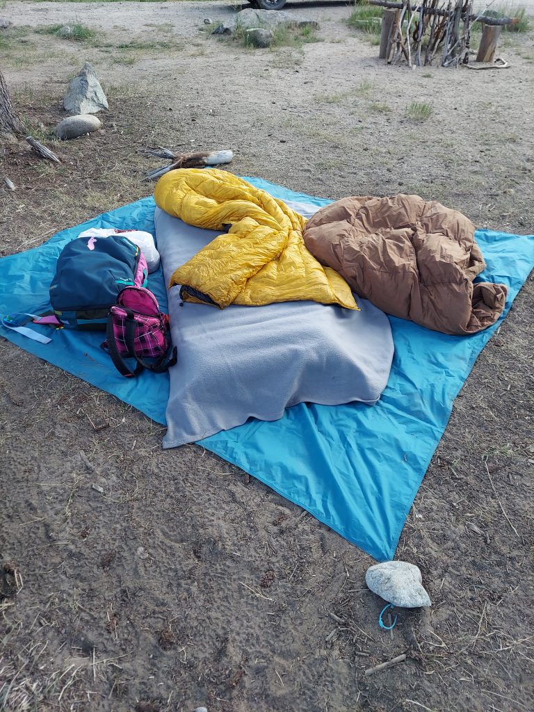
At Canyon Transfer Camp, I claimed and paid for a spot. It wasn’t the spot that I usually get, but that one was taken by a couple in an RV. A family in an RV was at the spot next to me. I didn’t even bother with a tent. I put down the tent’s ground cloth and then put my sleeping pad and quilt on top for a night under the stars. The pizza was wrapped in foil, which made it really easy to reheat on my camp stove.


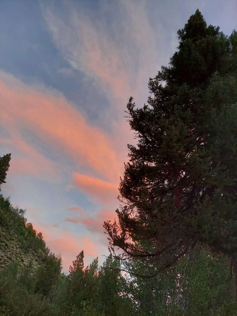
I was almost too warm that night, despite lacking a tent. In the morning, I got moving before anyone else was stirring. I moved my car to the parking lot and headed out.
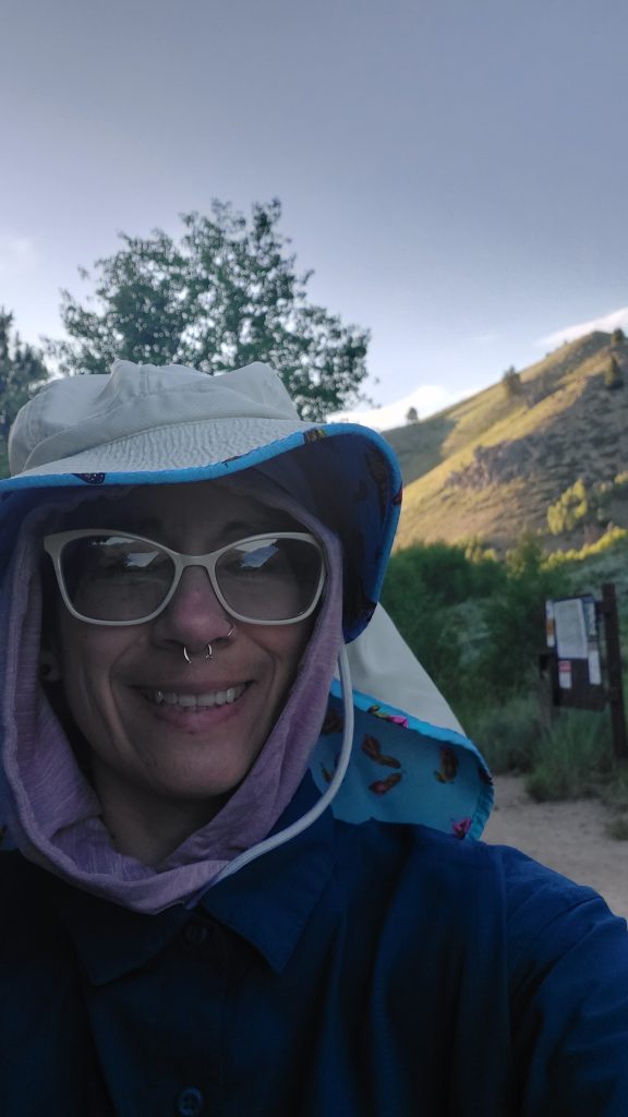
I forgot to start my GPS when I left the trailhead. I was just too excited to get moving. To start on this adventure.
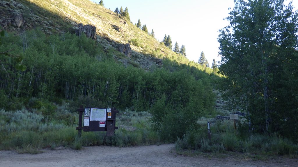
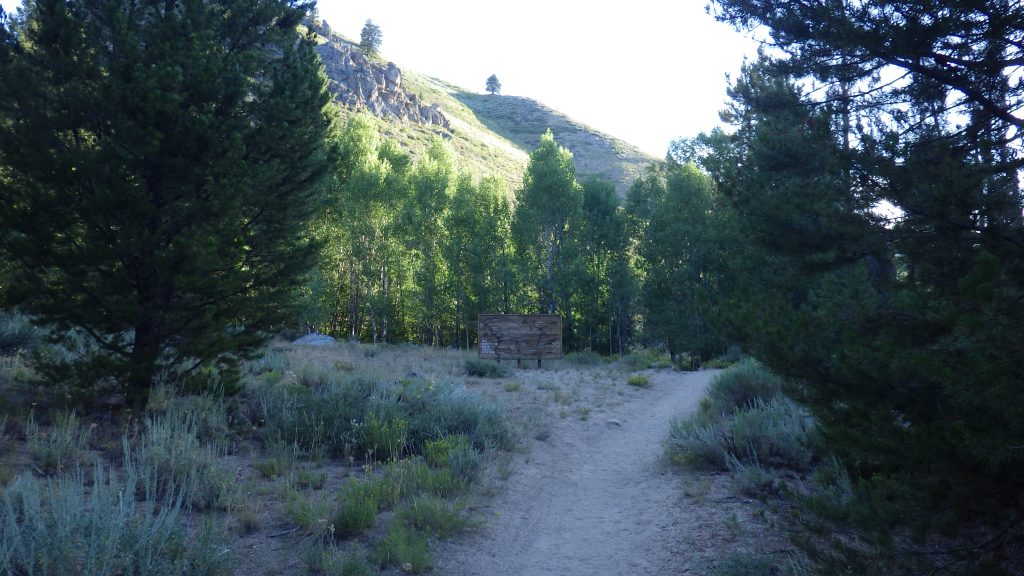
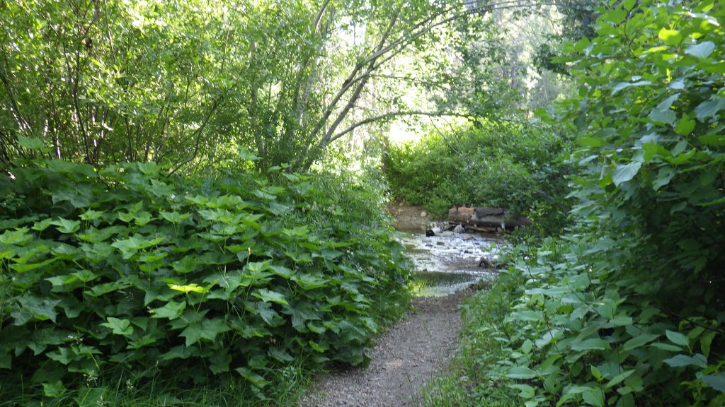
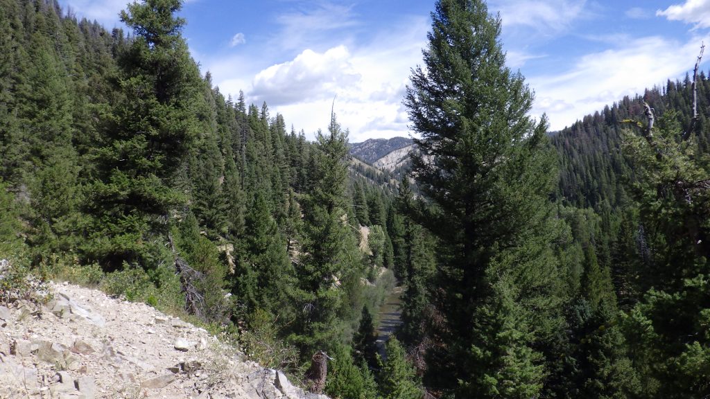
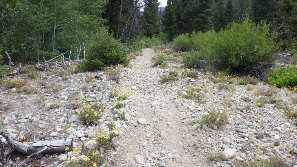
I may have hiked the stretch of the Big Smoky Creek trail between the Canyon Transfer Camp trailhead and Skillern Hot Springs more times than any other trail I’ve ever hiked. Nearly three miles, upon which I took my first backpacking trip, and my first solo overnight. I took my best friend for a redo of a first backpacking trip for her, and I took my niece out for her first. I day hiked it last year the week after Ambrose died. It’s familiar, but the kind of familiar that brings happiness. Like visiting an old friend.
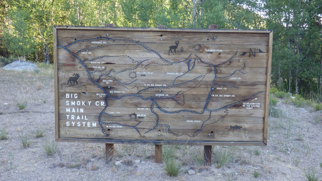
I remembered to turn the GPS on about a tenth of a mile into the trip, when I paused to take a picture of the large wooden map. That map wasn’t there the first time I hiked the trail, but I’ve very much enjoyed it since it was installed. Especially on this trip since I could trace my lollipop route on it (going out, then making a loop, and then back, the route makes a shape like a lollipop).
I’ve speed hiked this section in just under an hour, and I’ve hiked it in the dark with a headlamp. On this morning, I took my time. I only had six miles to hike. A slow, steady pace would get me to camp by lunch. A leisurely pace would get me there mid-afternoon. This would be a warm-up day for tomorrow’s ten plus miles.
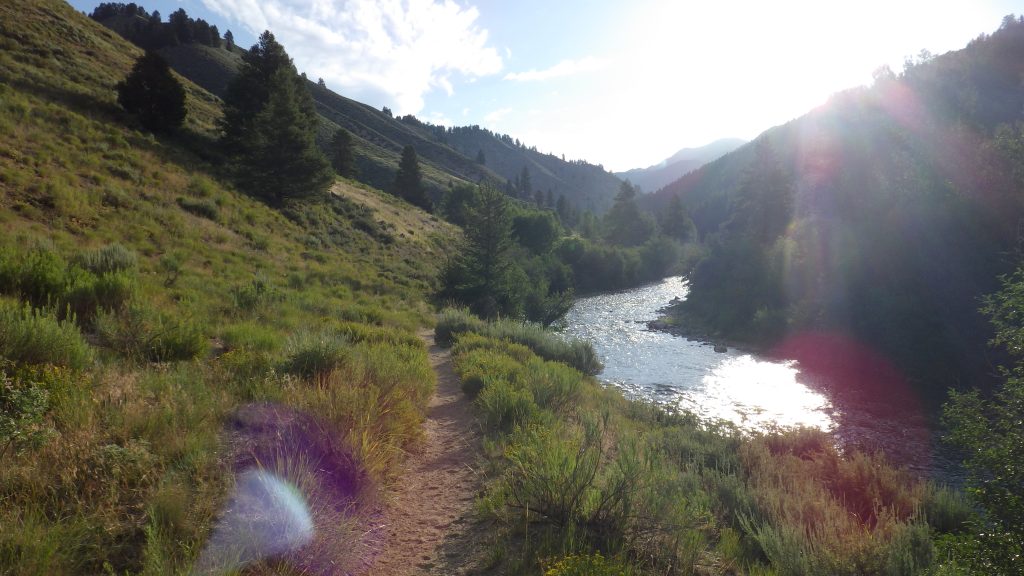
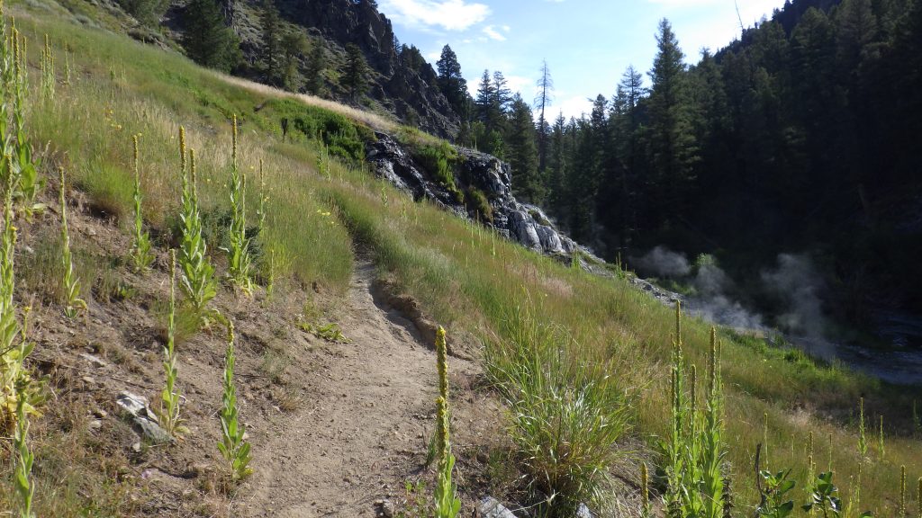
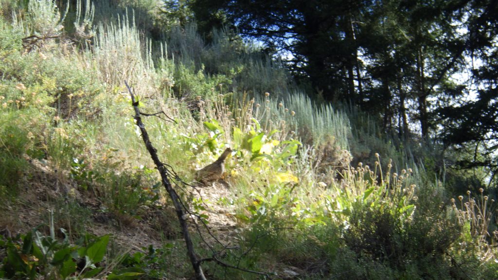
I got to Skillern Creek after only one break. I took the high road rather than do four stream crossings on the low road. When I first hiked the high road, it felt like it went on forever. I had to take so many breaks, and I was sweating and wheezing. On this day, I didn’t even realize that I’d passed the high point until I saw I was descending. Not exactly easy, but not requiring great effort.
I considered stopping by the hot springs as I hiked past them, but I don’t like to start a trip with something that will dehydrate me, like hot springs or alcohol. Staying well hydrated is an important part of being comfortable out there. This was only the second time that I’d hiked past the hot springs. The first time was ten years ago, when Ambrose and I hiked to Snowslide Lake together.
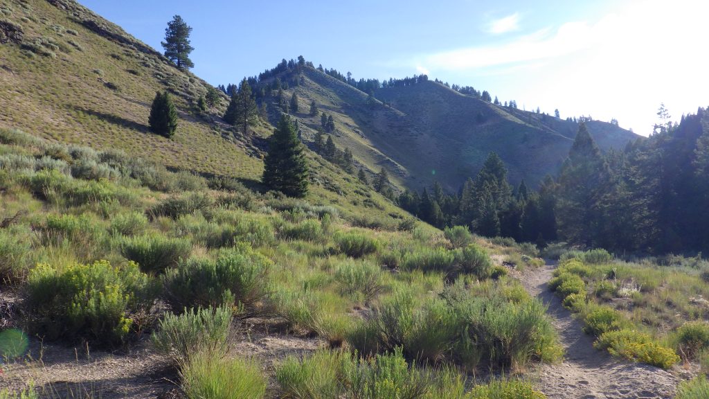
I didn’t remember a whole lot about the trail that I was hiking, and that was kind of fun. I knew a bit of what to expect, but not the meat of it. It was mostly nice that the trail was used by motorcycles, because that meant there were very few downed trees to navigate, but I did run across one annoying thing, which was humps in the trail. Little up-and-down dips that I suppose might be pretty fun if you’re riding a motorcycle, but when you’re hiking, they’re just annoying.
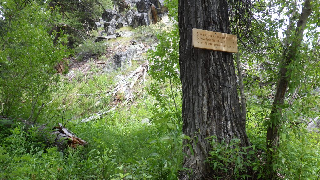
I thought I’d passed by an unmarked trail junction when the trail came down to the creek like a little rocky beach, but I found the actual junction with a sign a little farther down the trail. Maybe I’ll come back and try that trail some time. It would be better to do that in late August when the water is running lower since that trail crosses the creek.
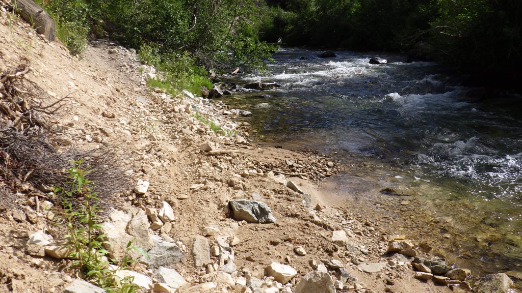
Hiking along a creek has advantages. The sound of the water is soothing and can help you feel cooler than you are. It’s harder to get lost. You can usually access water easily, if not from the creek itself then from side streams. But one thing that is tricky is when you have to poop. Especially when the creek is on one side and steep rocky walls are on the other.
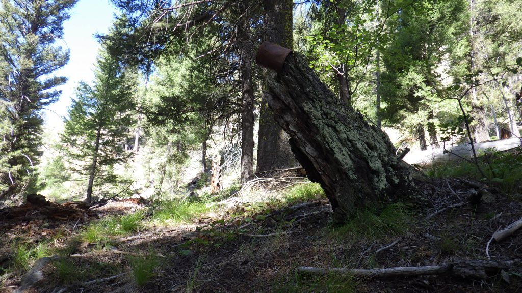
Lucky for me, I came across a softly sloped expanse of land when I needed to dig a hole. I even got shade on the trail to leave my pack under. Then I headed off at a right angle to the creek, stepping carefully over fallen trees and minding my foot placement. I found a good spot, but I wasn’t the first one there – I found a rusted old paint can back there, which I took back to the trail after I concluded my business. I figured if I put it where it could be seen from the trail, then someone on a motorbike could pack it out. Or maybe I’ll see it next time I hike out…
The trail climbed up high around a bend in the creek. After the turn, I could see in the distance where the creek split. That split would be my turn, but I wasn’t going to take it until tomorrow. Today, I’d hike past it about half a mile and camp.
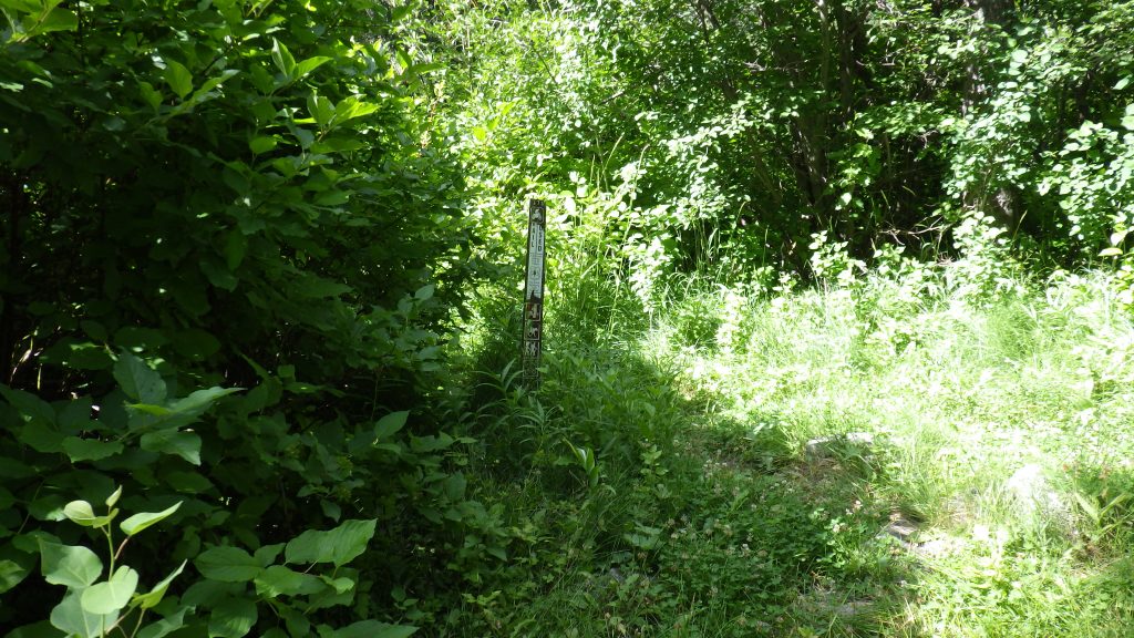
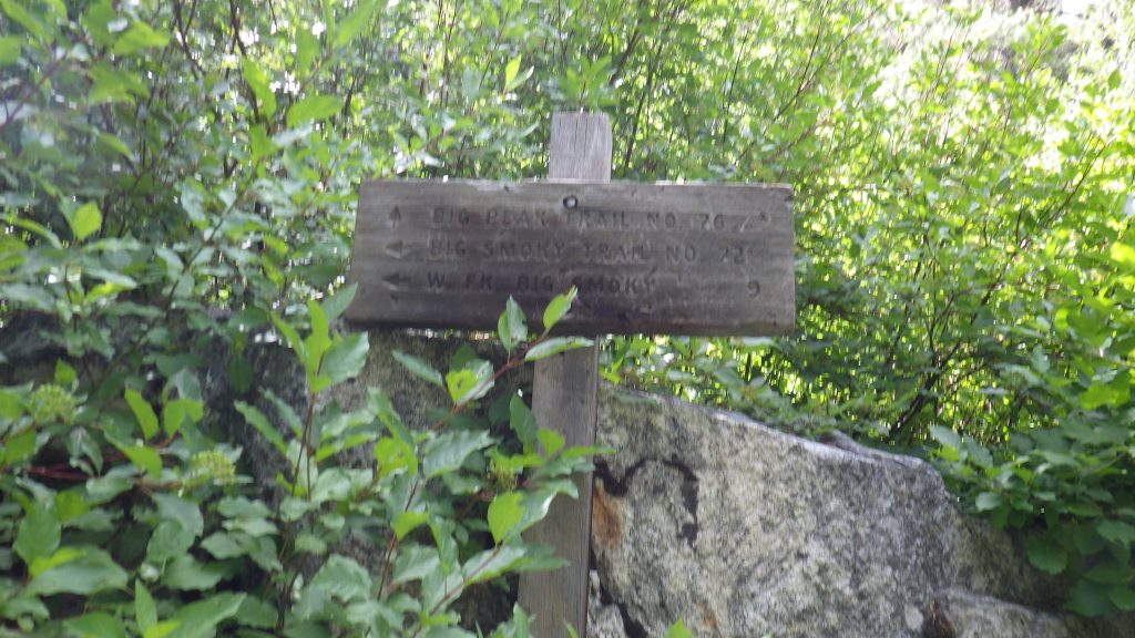
When the trail came back down closer to creek level, I saw a campsite on my left. I considered using it, but decided to keep going for my original plan. It wasn’t that much farther to the boots-off crossing where Ambrose and I had missed the trail junction all those years ago. I didn’t miss it this time, both because I knew to look for it and because there was a fresh new trail sign in place.
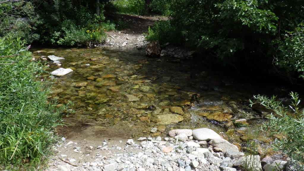
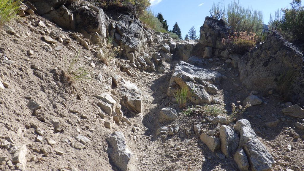
The crossing was easy, and I knew I’d have no trouble in the morning finding my way back to this junction. I checked my GPS for my current distance and hiked on. I wasn’t going to hike much past half a mile farther on this trail, but I hoped I would find the campsite I remembered before that. There were more of those annoying bumpy parts, but no big climbs or descents on the trail that took me to the campsite.
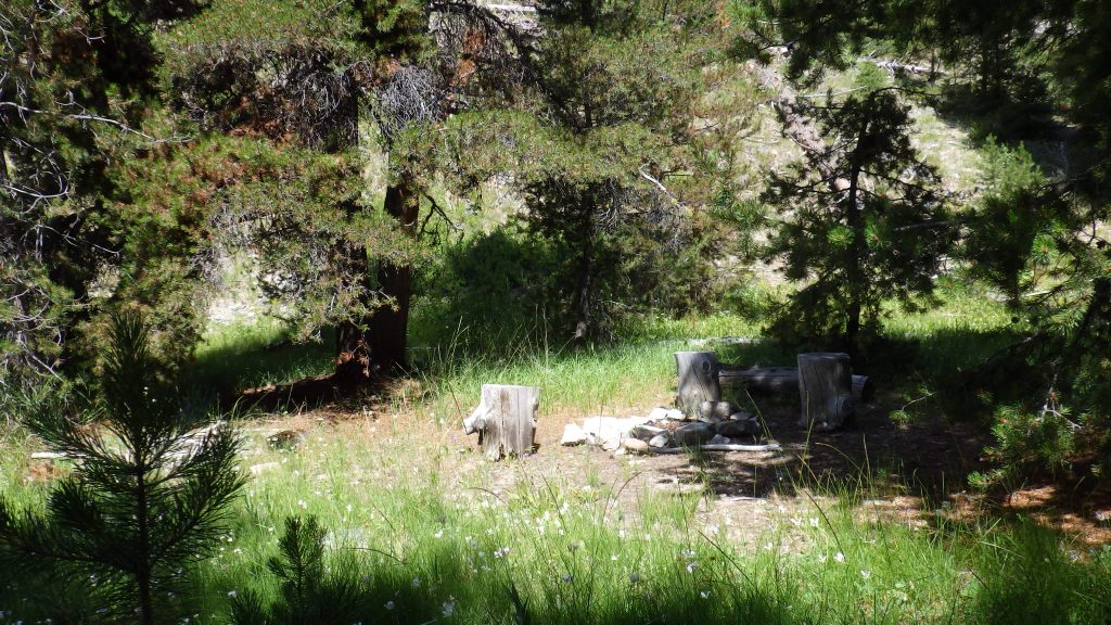
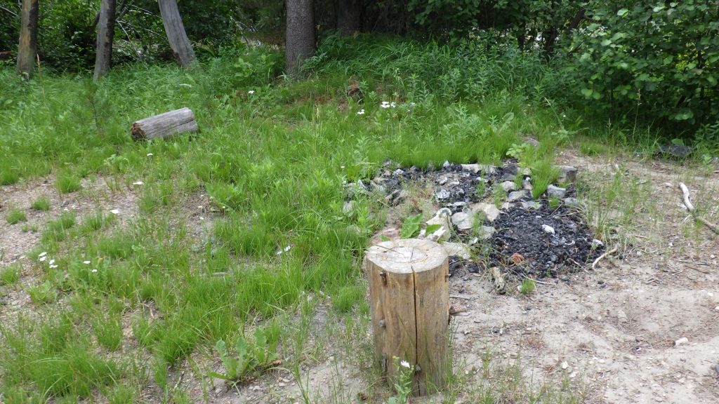
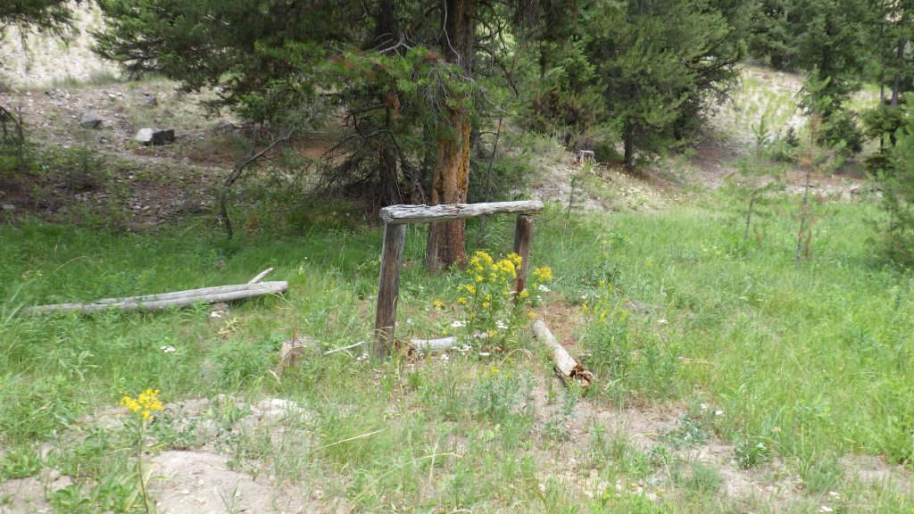
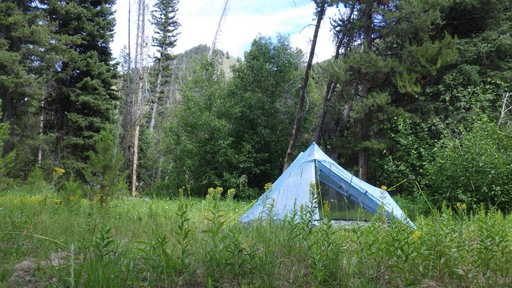
It didn’t look quite how I remembered it. I remembered it being more exposed to the water, while this one had a good amount of trees and bushes between it and the creek, but there was a fire pit and a hitching post. Good enough for me!
I celebrated my arrival by eating lunch, as it was just about time to do so. While I was eating, three motorbikes roared by on the trail. They didn’t appear to notice me, which made sense because their helmets cut off their peripheral vision and I was well off the trail at that point.
After lunch, I explored a bit before committing to a place to pitch my tent. There didn’t seem to be any ideal spots for pitching a tent, so I followed use trails to explore farther away and came upon what looked like an outfitter’s cache. Several locked metal barrels. Some tarps on the ground, and others covering a mound of supplies. I could see coolers and water jugs, and it looked like there were cots or the makings of tents under there as well. I thought it strange. Hunting season was over a month away, so why would all this stuff be out here?
There was a pretty decent flat spot in the middle of all that stuff, but I wasn’t comfortable pitching my tent near all of it. What if the owners of the stuff showed up? Unlikely, but possible. So I went back to the fire pit where I’d dropped my pack and made do with a spot that would have been way too close to the fire pit if I had been making a fire. I don’t think Ambrose and I ever made a fire while backpacking. Camping, yes, but not backpacking. I know he did once when he took a neighbor of ours out to Skillern, but he didn’t with me.
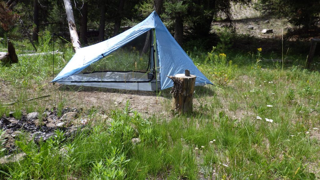
After the tent was pitched, I spent the rest of the afternoon reading mostly, seeking out the shady spots at my site. I also kept up with camp chores, especially getting water. And when the sun was out, I soaked my feet in the creek. One lesson I’ve learned is that it’s never a bad idea to pamper your feet if you’ve got the time.
I started dinner around 5, which is my preference when out backpacking. Dinner was Chicken Coconut Curry, and it was so delicious that I licked the bag. That’s another advantage of repackaging the dehydrated meals into freezer baggies – you can fully invert the baggie to lick up all the saucy goodness should you so desire.
After dinner, I had to dig a hole; for that, I crossed the trail and climbed way up the hillside. I think I must have dug a hole when Ambrose and I were there before, because I saw things that looked familiar to me. A tree with boards piled near the trunk, nails still in them, in particular. And the shape of the land. I also found an empty plastic bag that once contained a Caesar Salad kit. I took that to pack out since it would compress easily into my existing trash.
I had my water flask full to drink from overnight, and my water bladder full for the next day’s long hike. I was relatively close to the creek, so I left both my tent side doors open for air circulation. I settled down to sleep before it was fully dark, using a buff as an eye mask to help me fall asleep, hoping that I’d dream of Ambrose.