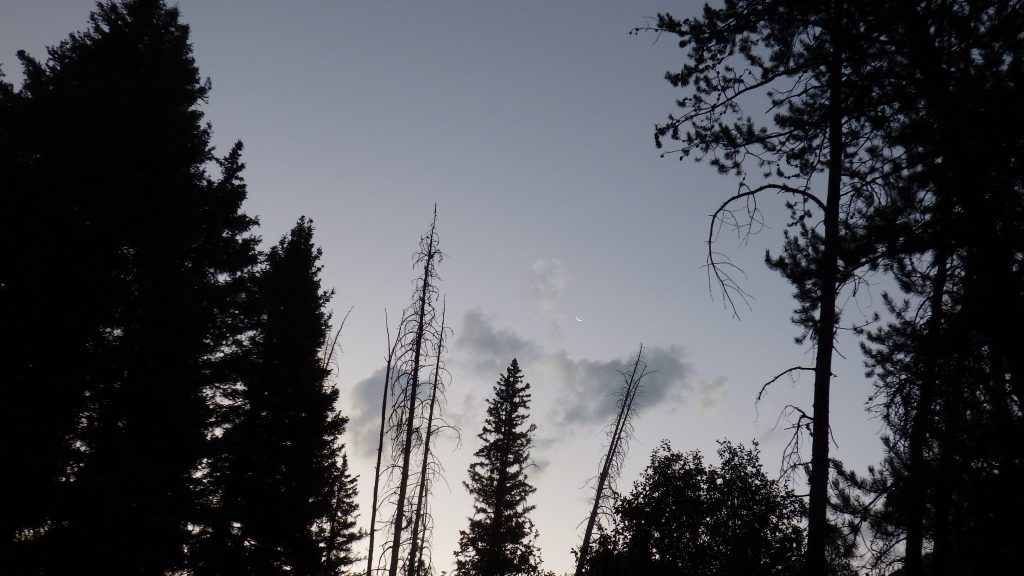
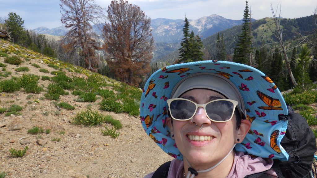
The alarm woke me to a tent full of condensation, despite the doors being open to circulate air. I was up before the sun because I planned to hike more than ten miles, with a good amount of elevation gain. Today was going to be a test day for me. Could I do the distance and the gain? If the answer was yes, then I’d know I was ready for the itinerary I’d planned for my Idaho Centennial Trail trip in August.
I’m backpacking now with a one person tent, and it’s just the right size for me and all my gear. But I’m so used to backpacking with Ambrose that it feels lonely. Yes, I took a solo trip most years, but on those trips I would either be using the InReach to communicate with him or I would know he was waiting for me at the trailhead. With hot food and warm hugs.
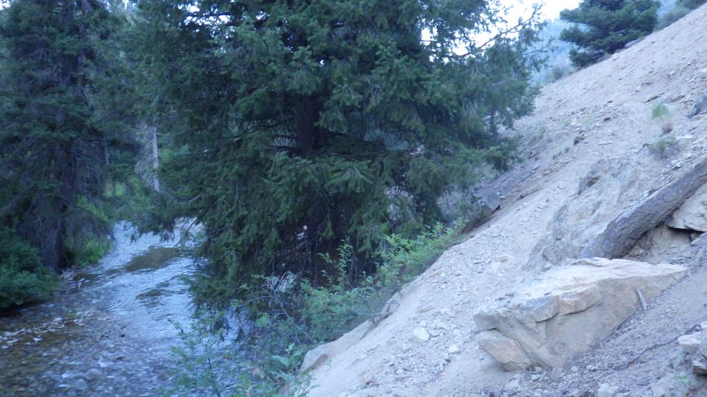
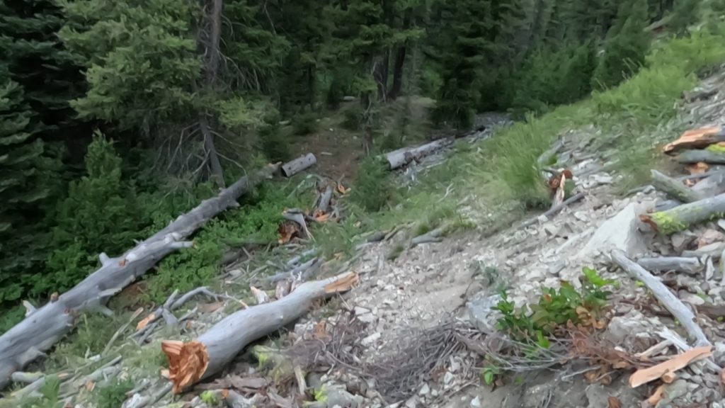
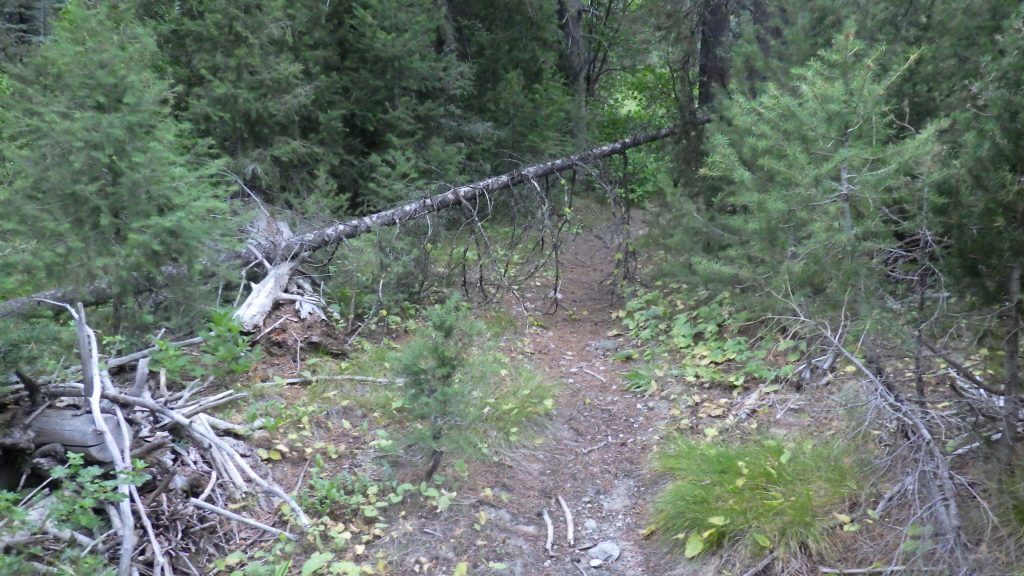
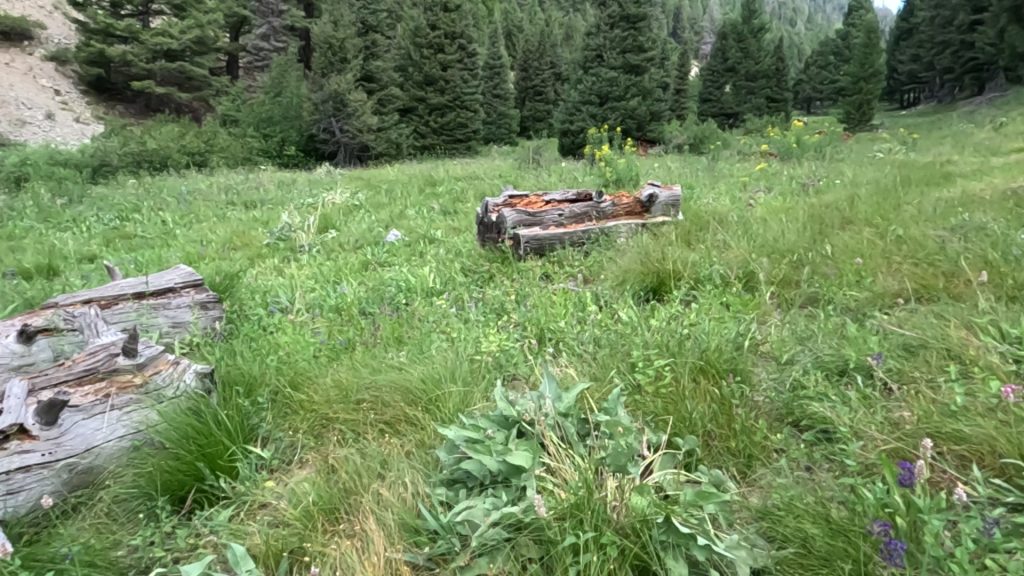
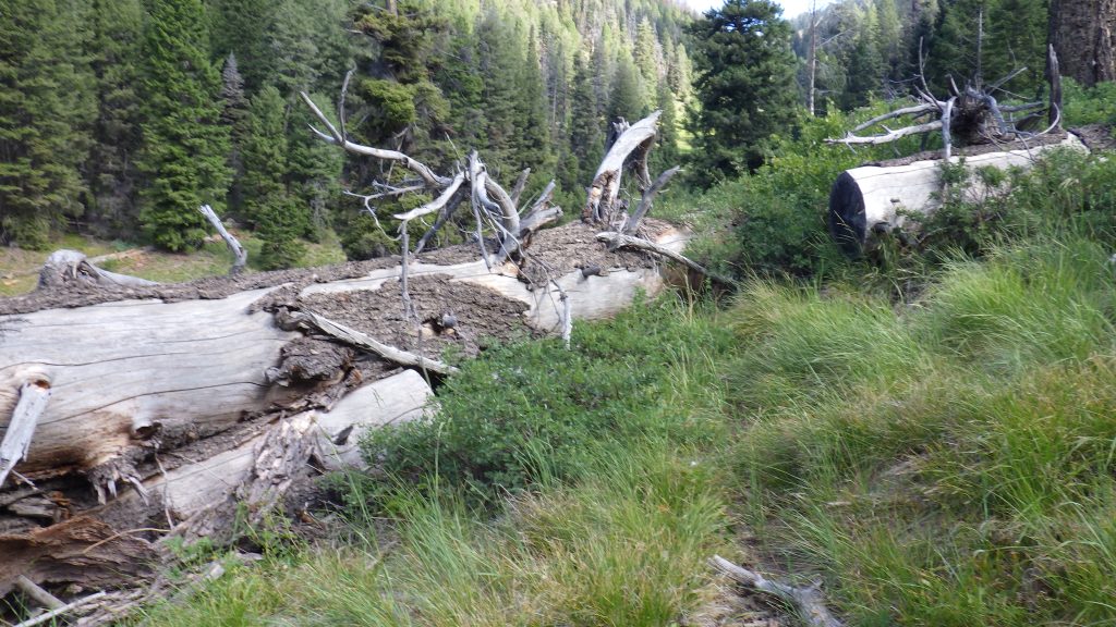
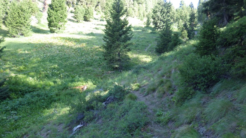
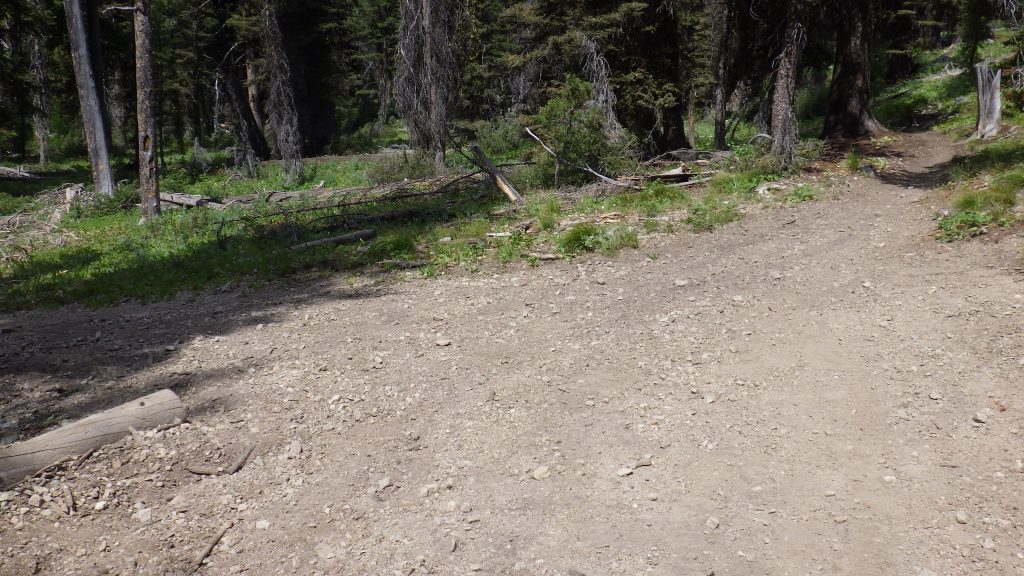
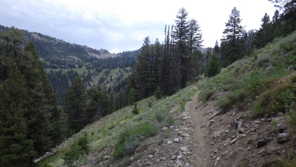
I got packed up and turned back to hike to the junction that I’d passed the day before. It would have been very difficult to miss going in this direction. Not only was there a nice new sign, but there was a stream that I wanted to follow rather than cross. There were a few downed trees early on, but I figured those were more a way to remind motorbikes not to come this way than an indicator of maintenance. I did come across a trail diversion where a massive tree had fallen across the trail before going very far though. I scrambled up to get around it and hoped that this wasn’t going to be indicative of the overall state of this trail.
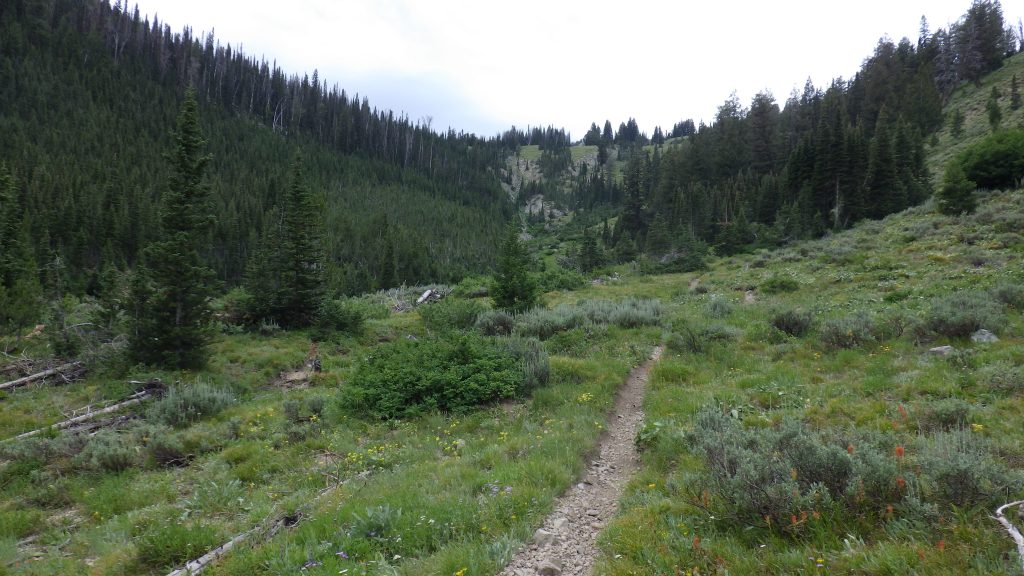
This trail was not opened to motorized vehicles at all, so it was less traveled than what I’d hiked the day before. The trail was still clear and easy to follow, but it clearly got less traffic. And yet, it doesn’t get no traffic. And I began to recognize parts of it from that trip all those years ago.
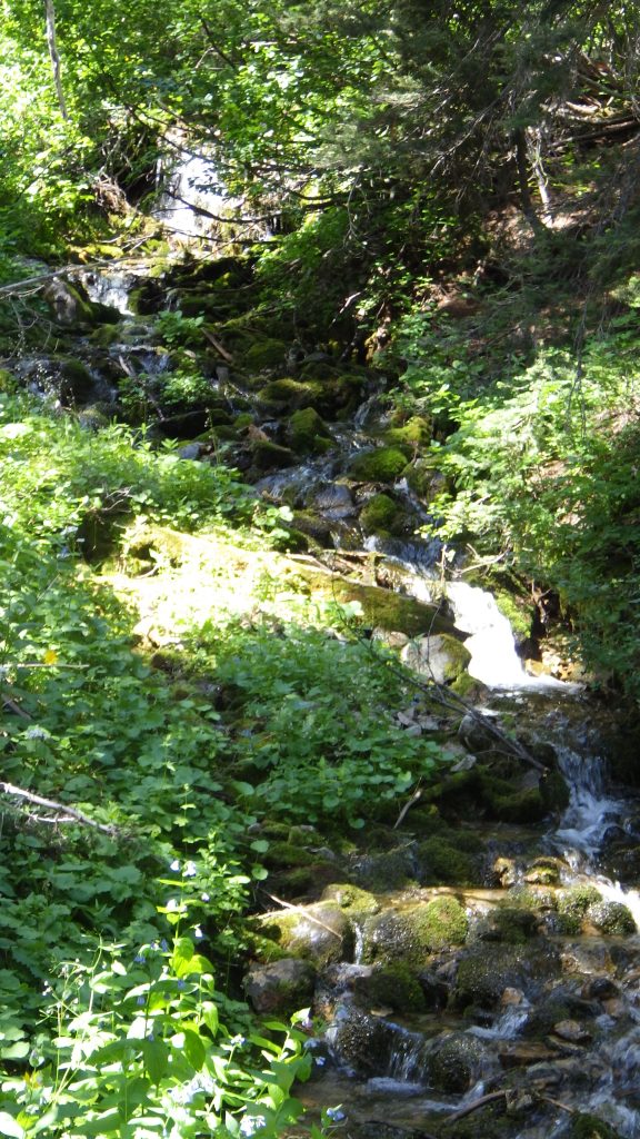
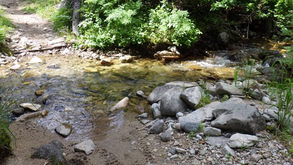
I crossed one stream on a log, but the next one I had to get my feet wet. I was wearing waterproof socks, so I just walked right through with my boots on. The water was so clear that on my videos both crossings look very shallow, but according to my narration they were both quite deep.
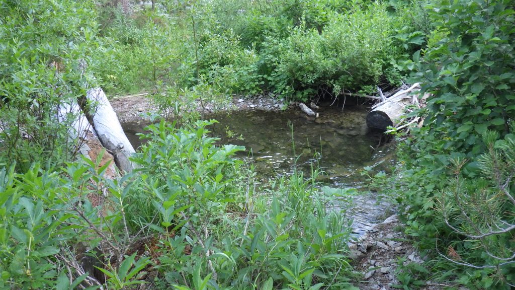
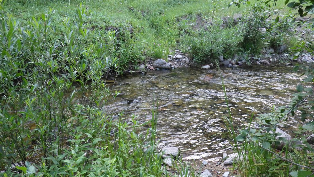

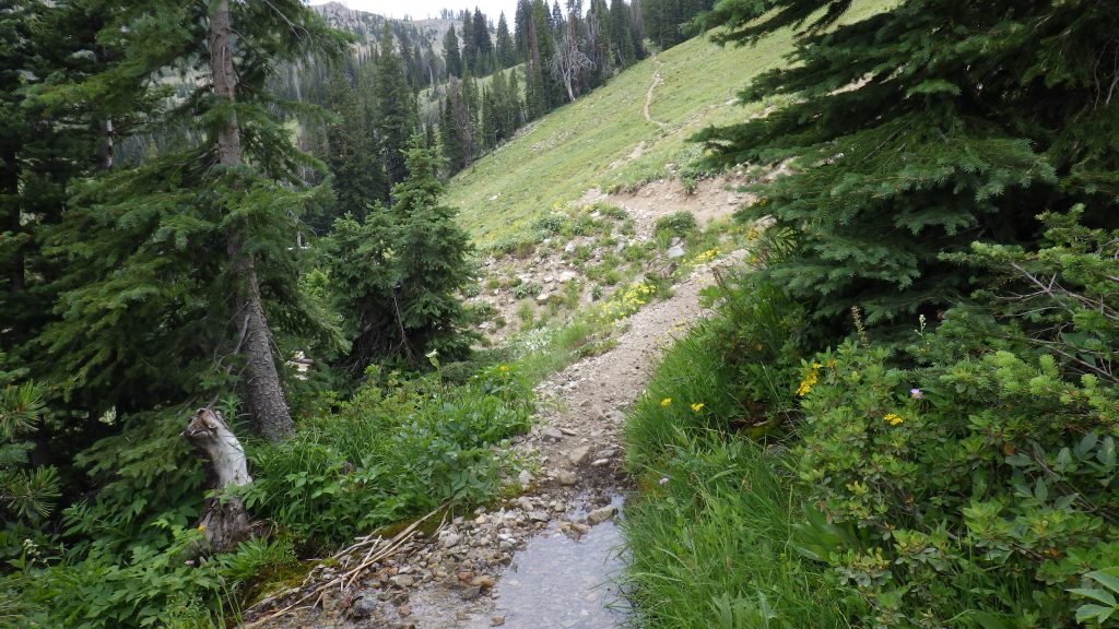
The trail climbed gradually, following the North Fork Big Smoky Creek, crossing and recrossing a few more times. I took my second break on a little stretch between two side streams. That wasn’t the best choice, because I felt like I had to poop, and to do that I needed to get much farther away from the water. After my break, i found a place to leave the trail and dig a hole, so I kind of got two breaks in short succession.
Though pooping isn’t really a break. Especially when the trail is following water like this one. To get far enough from both water and trail, I needed to hike uphill, perpendicular to trail and creek, and then spend a good amount of time squatting. Digging a hole is sometimes easy, when the dirt wants to be moved, but other times it takes a lot of effort, when the ground is rocky and doesn’t want to yield.
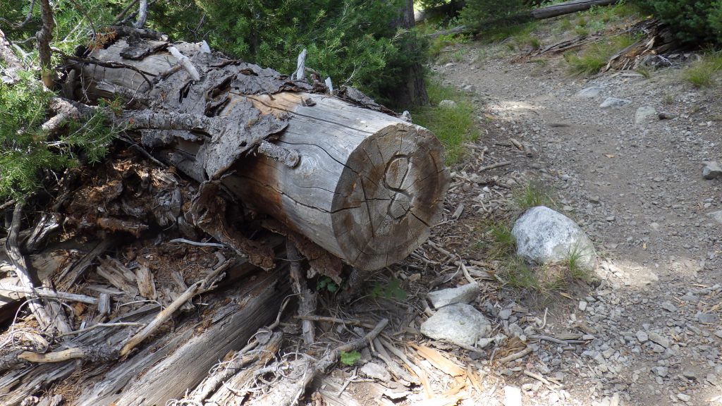
I saw a deer ahead of me after I passed a huge cut log that another log had fallen across. I was running my camera at the time and hoped that I got the deer. I did, as it turns out, but it’s so far away that you have to be looking at just the right spot to catch the movement as the deer jumps out of the frame. I either saw the same deer again or a couple other deer in that section.
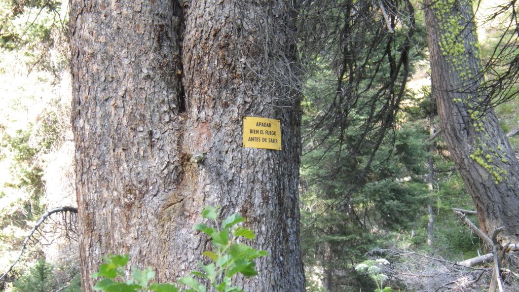
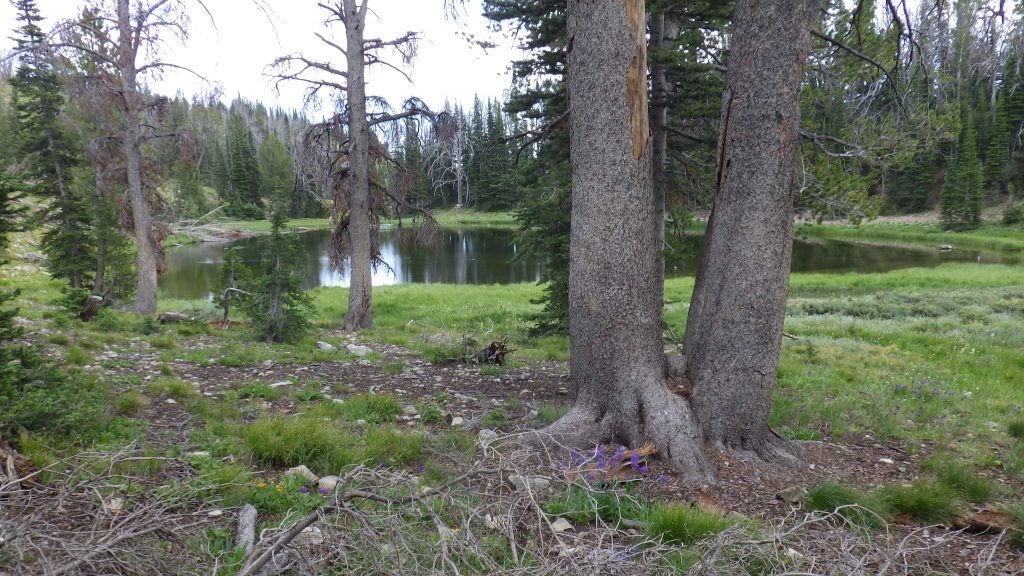
I had been wondering if I would recognize the spot where Ambrose and I had camped. There had been a sign there before, but it might have been removed in the intervening years. I saw what I must have seen those years ago, some wood like looked a bit like the corner of a fence just across the water. As I continued to hike, I saw the sign in Spanish: Apagar Bien Al Fuego Antes De Salir (put out your fire well before leaving). I marked the spot on my GPS and hiked on.
Now the trail was seriously starting to climb. I remembered it being so hard. And it wasn’t exactly easy, but I made my way. There was a part where the trail climbed up into a side stream’s canyon and then turned back that I felt like I remembered. I took a break at the top of that section.
The trail began to climb up a meadowy section, and I actually got a little lost. What’s funny is that when I watched the video back, I could see where I’d lost the trail. The trail kept going to the west, directly between two cut logs, but I went north because it kind of looked like trail. A few hundred feet farther up, it stopped looking like trail and I realized I was lost. I pulled out the GPS and saw I was way off, so I backtracked a bit, and then tried to cut over to find the trail again. I had to carefully descend into a dry, rocky streambed, and then follow it down a bit before I regained the trail.
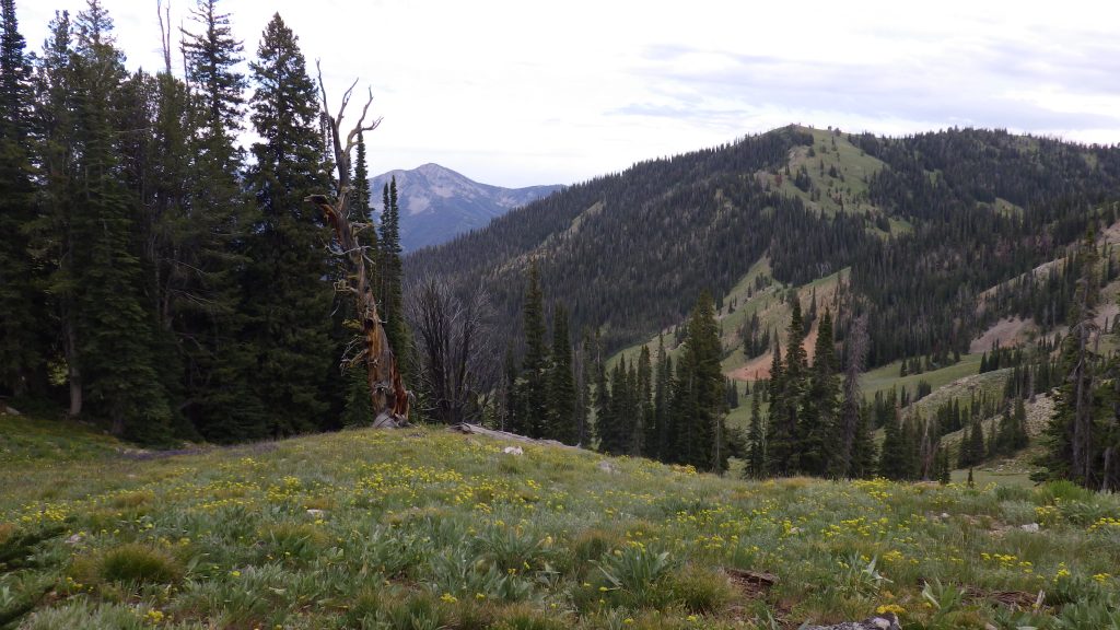
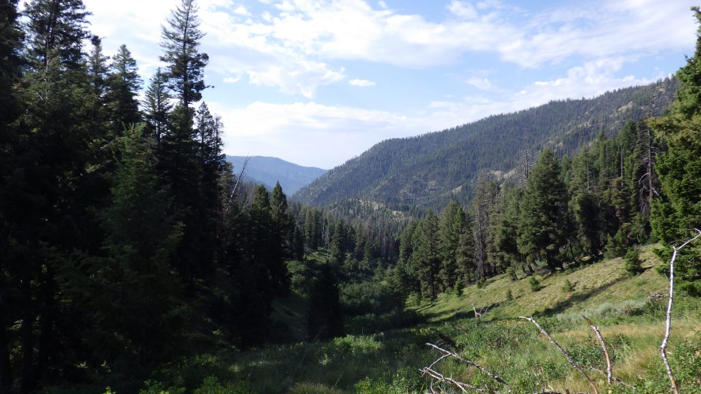
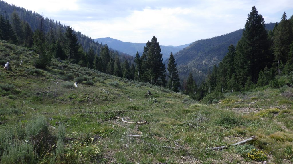
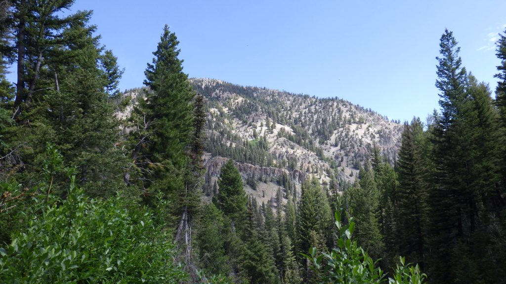
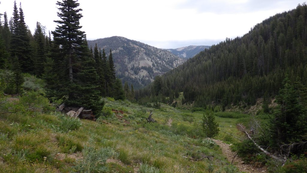
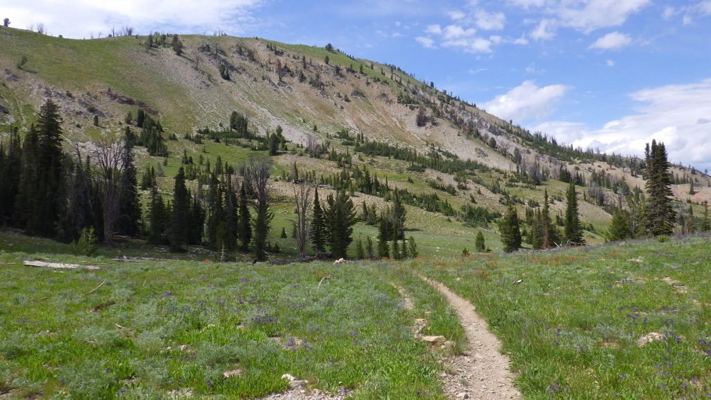
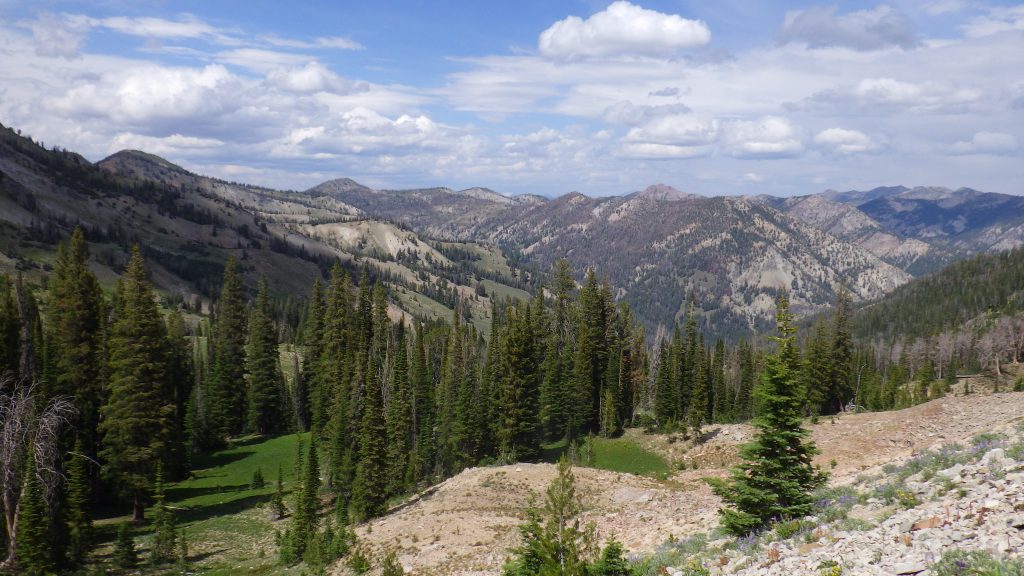
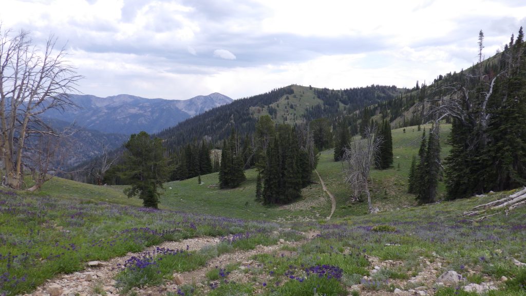
From there it was just a lot of uphill. I made sure to take a few looks back to see how far I’d come. The valley below was lovely.
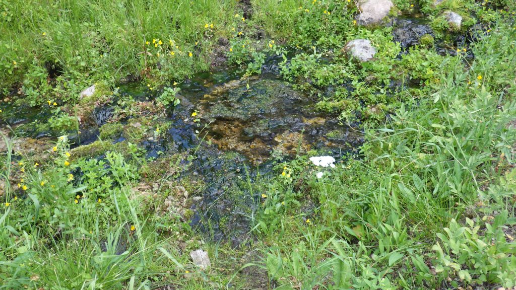
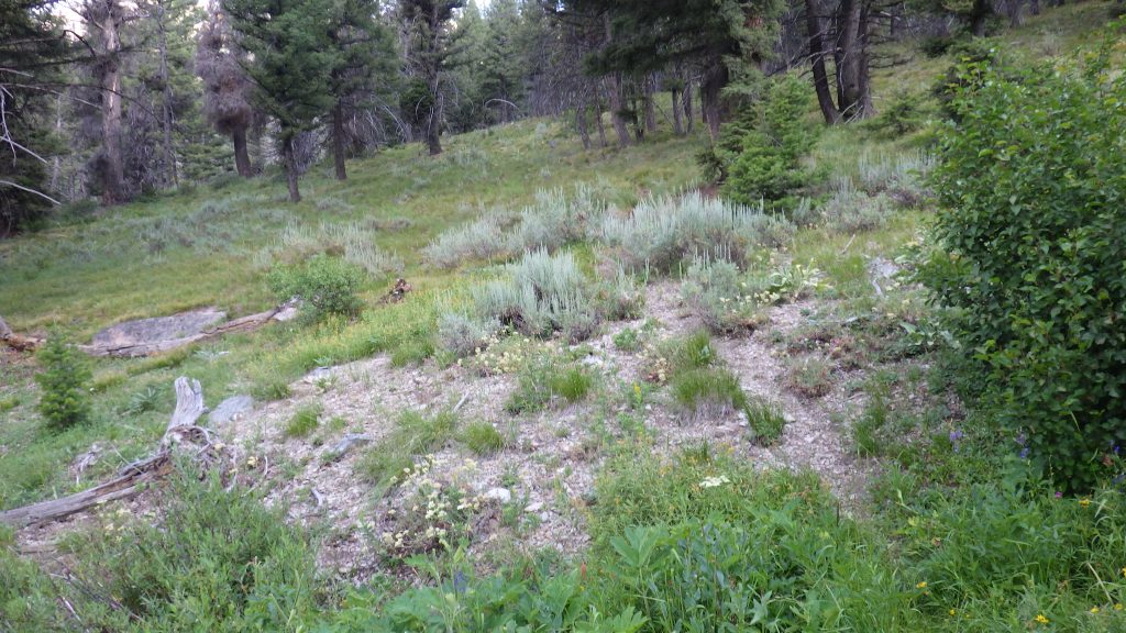
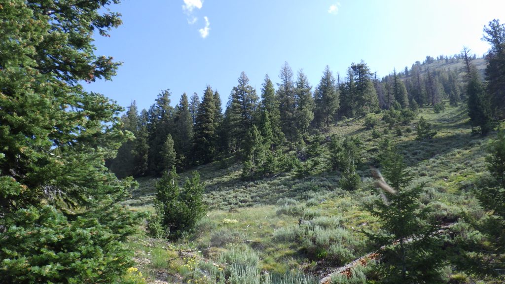
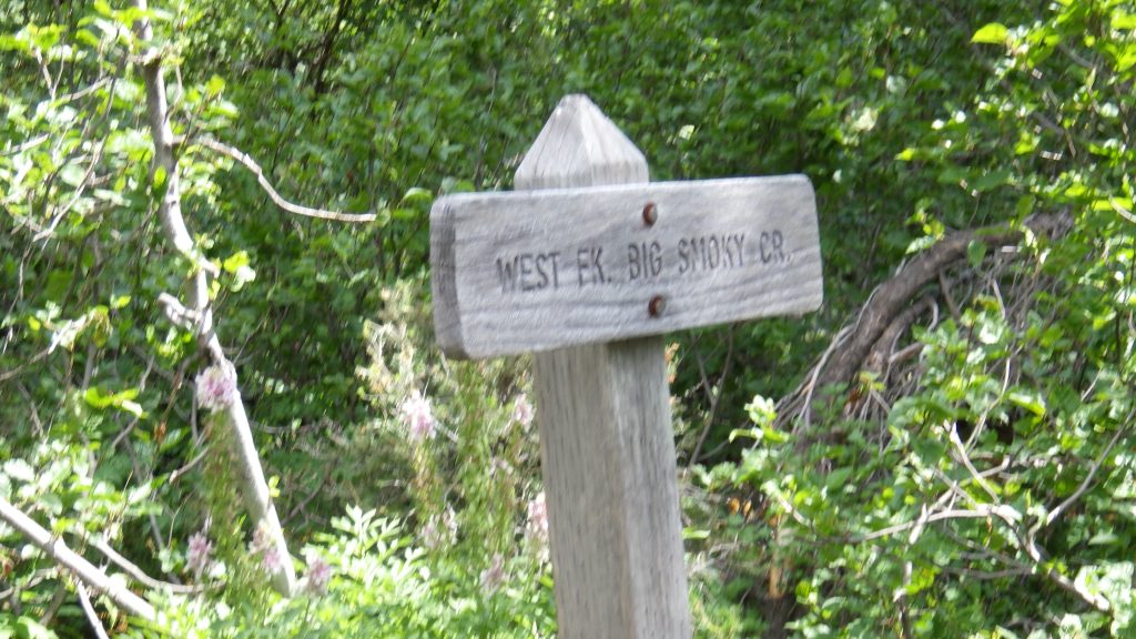
I reached the high point, which was as I remembered it, a lovely meadow that would be a great place to camp if it had any water. With no water, it was just a lovely place to walk through. The descent down to the West Fork Big Smoky was forested, and featured several stream crossings. I had thought to get my water at the West Fork, but I decided to take my break at one of the streams and refill my water there, at Helen Creek, which I remembered from the last trip.
The trail led me down to a slightly messy crossing of the West Fork. I had the choice between deep water and mud or navigating a wet log with another tree overhanging to cross. I chose the wet log, with a great deal of care.
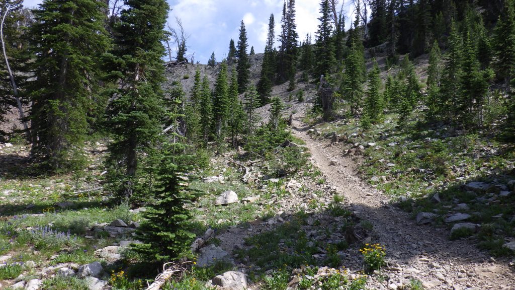
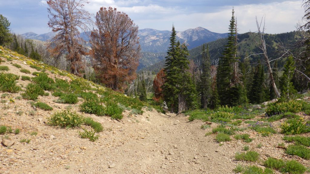
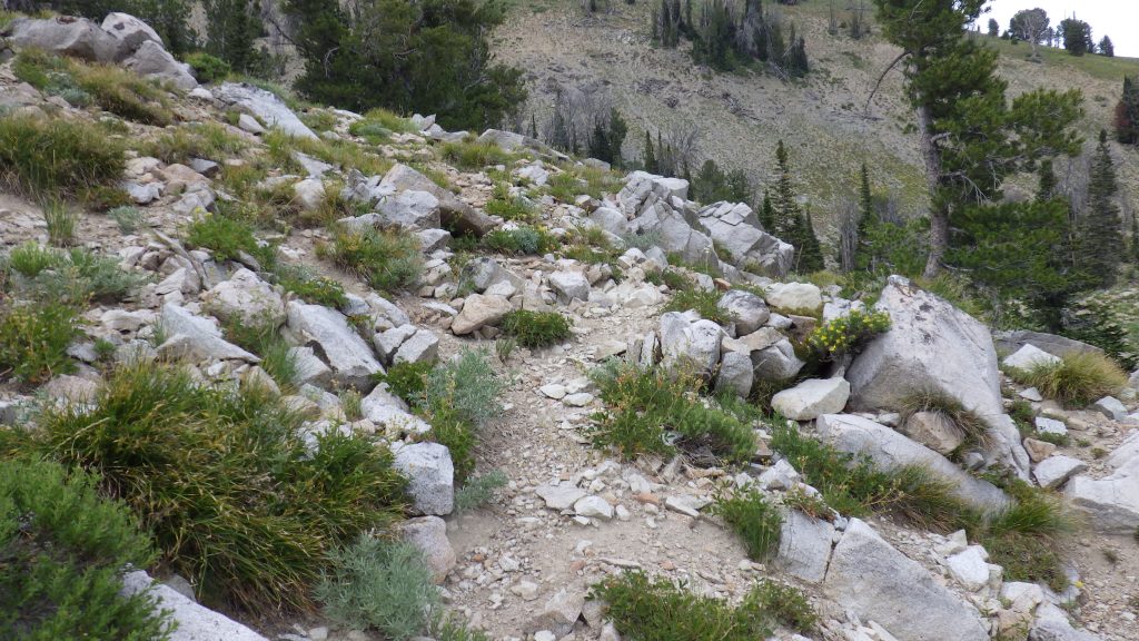
Then the trail reached a T junction with the West Fork trail and I headed west. I was back on motorbike trail, which meant no more trees to step over, but lots more loose gravel to navigate. As I remembered, it didn’t take long before I came across another junction offering travel to my left.
I recrossed the West Fork, pausing to wet my hat in the creek because the sun was out and I was about to start another hard climb. This trail was also open to motorbikes, so it was both hard and gravelly. I didn’t get too far up it before it was lunch time.
I had been determined to give my feet some quality boots-off time at lunch, but as I sat down and prepared my dark chocolate cheesecake, the wind began to blow and clouds blotted out the sun. I was suddenly concerned that it would start raining. I canceled the boots-off time and hurried through my lunch so that if it did start raining, I’d be on the move and able to keep myself warm.
Perhaps that contributed to my kind-of fall, though the gravel played a part. I was hiking along and not paying too much attention to my feet. The trail did another one of those little dips, and my feet just didn’t find the ground right. I stumbled and plopped down on my butt on the side of the trail. No injuries, but I was lucky in where and how I landed. I took the trail with more care after that.
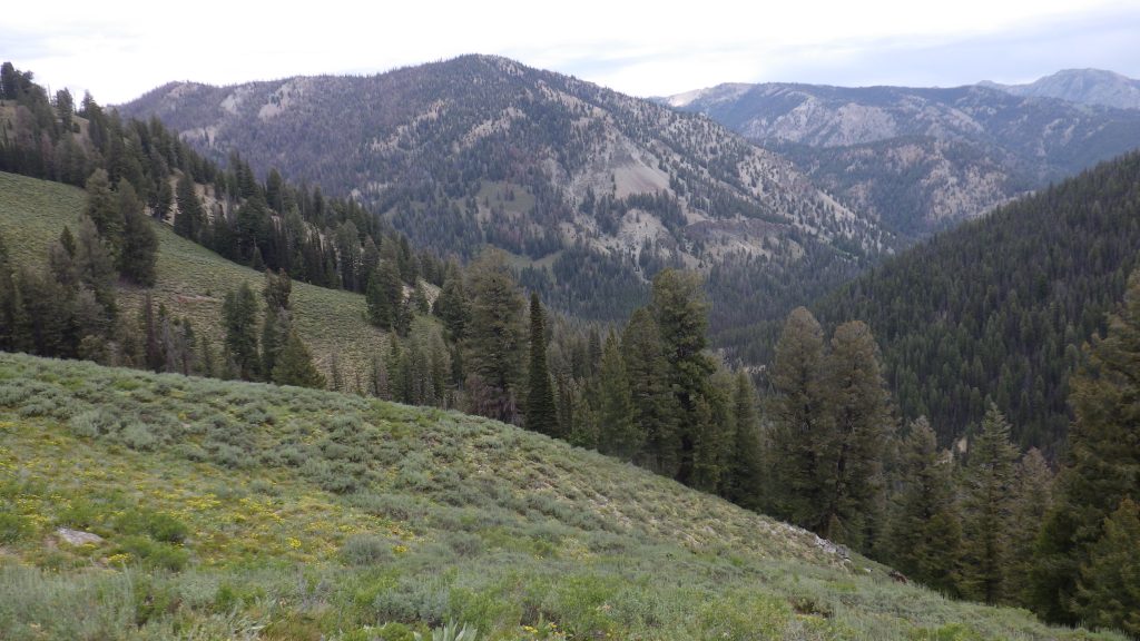
As I hiked, I thought about how the weather was kind of perfect. I had been anticipating a swelteringly hot climb under the sun – hence the hat wetting earlier. I planned for being sweaty and miserable. Instead, the clouds mostly kept the sun off my head, and the wind kept me cool, sometimes almost cold, as I continued the 1400 foot ascent to my high point of the trip.

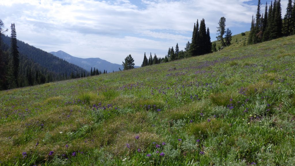
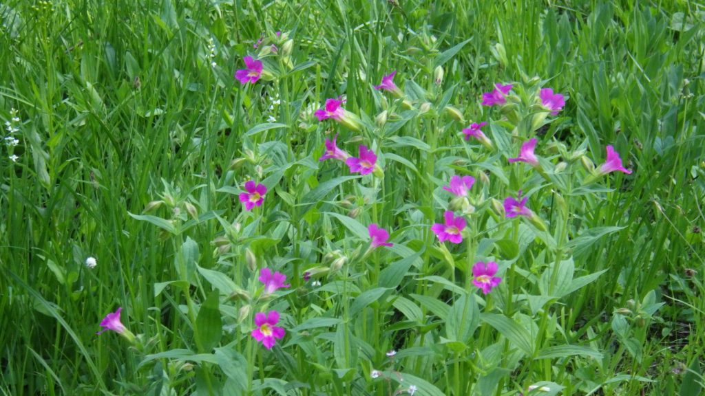
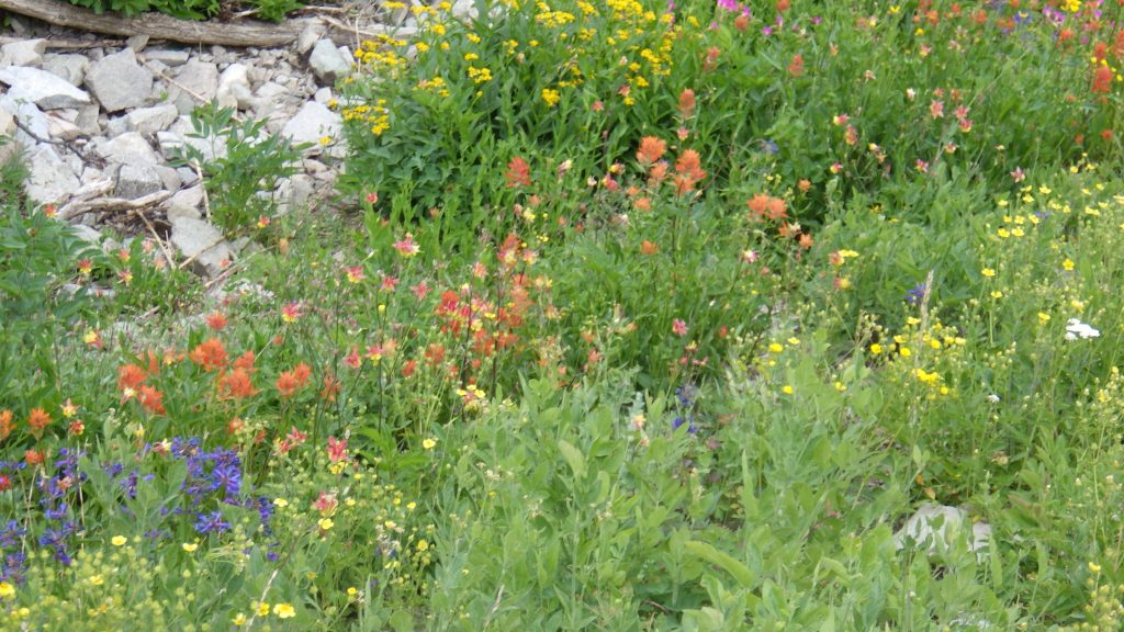
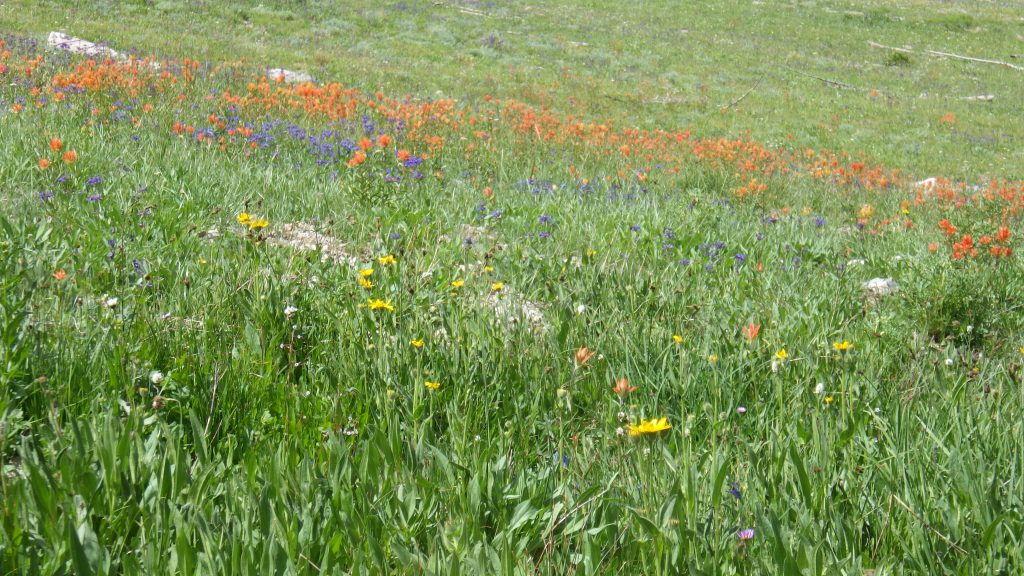
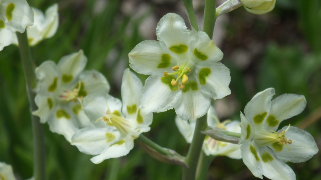
I remembered the switchbacking of the trail, but not how far the switchback went west before turning around to swing south again. I stopped twice for breaks on that climb. The second break was very close to the saddle, less than half a mile, but I knew I should take a break. The sun had come out, but the altitude and the wind kept me cool as I took my break in the shade of a tree growing next to Paradise Creek. Wildflowers bloomed in profusion all around me, and green meadows stretched far and wide. A place of incredible beauty.
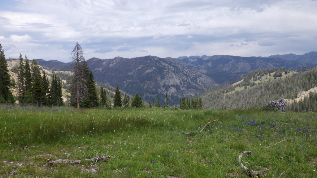
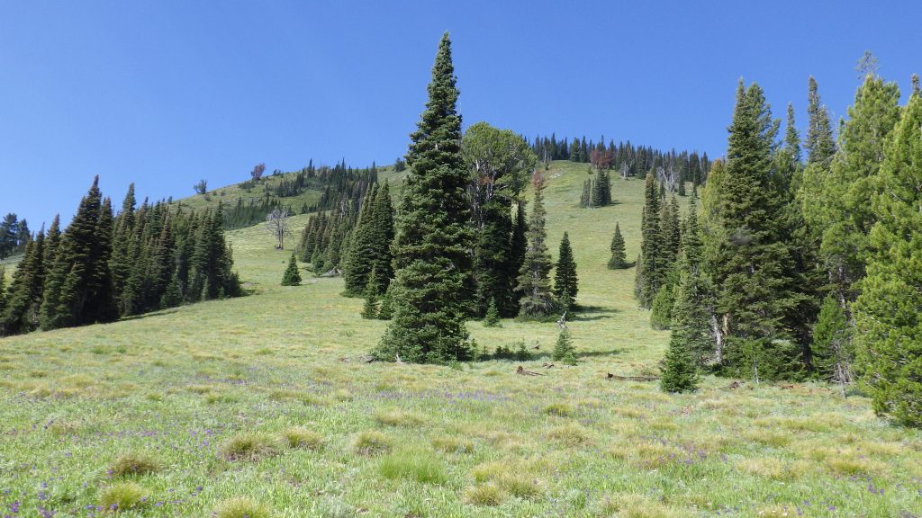
The saddle took me over 9000 feet. I remembered being there last time, ecstatic at reaching such a high elevation and taking a picture with the old altimeter-barometer (Altibaro). This time, I took video, panning around from where I’d come to where I was headed.
I really thought that I would recognize where the little use trail turned off the main trail to get to Snowslide lake was. I’d found it before, and I kind of knew the terrain that I’d be going through to get there. Even so, I overshot and hiked too far on the main trail. I tried to go cross country only to run back into the main trail before going cross country again to try and get to the lake following the GPS. I had just decided to stop and dig a hole when I realized that I was on the use trail after all.
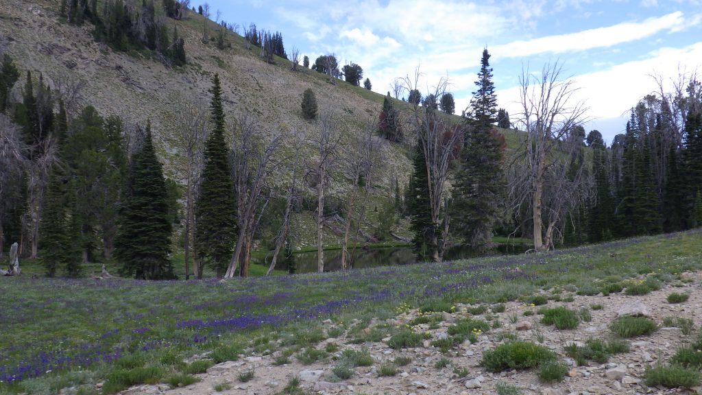
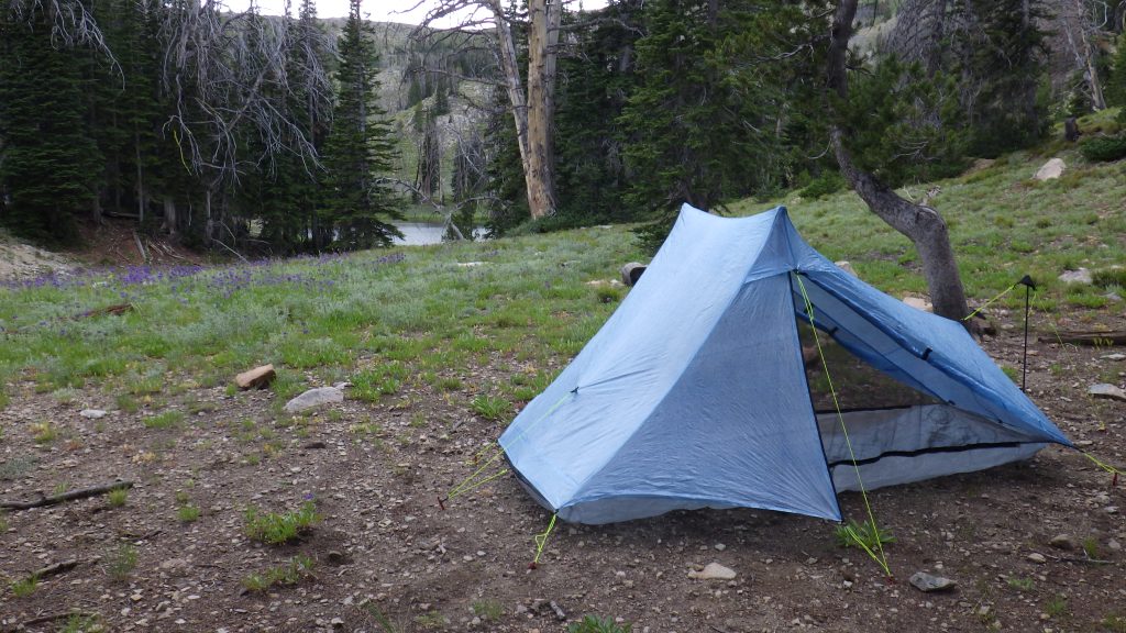
The lake look much like I remembered it, but a large tree had fallen where I remembered pitching the tent last time, on the west side of the lake in a copse of trees. I looked around for another flat spot, but couldn’t find a great or even good spot. I found what looked like an adequate spot, but it would be quite sloped. I’ve made do with sloped spots before, and they aren’t comfortable. Everything inside the tent tries to slide down the slope.
It was after 5 at this point. I’d hiked over 12 miles, with over 2000 feet of gain (probably closer to 3000). The clouds were covering the sun again and I decided to focus on getting myself fueled with dinner before worrying about where to set up my tent. There looked like there was a use trail going around the lake, so I’d check that out after dinner.
Dinner was a 1000+ calorie biscuits and gravy. At home, I would not knowingly eat a 1000+ calorie dinner, but out there, after 12 miles and so much uphill hiking, I needed every one of those calories. It was delicious, and fueled me for my exploration of the other side of the lake.
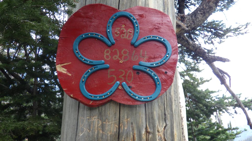
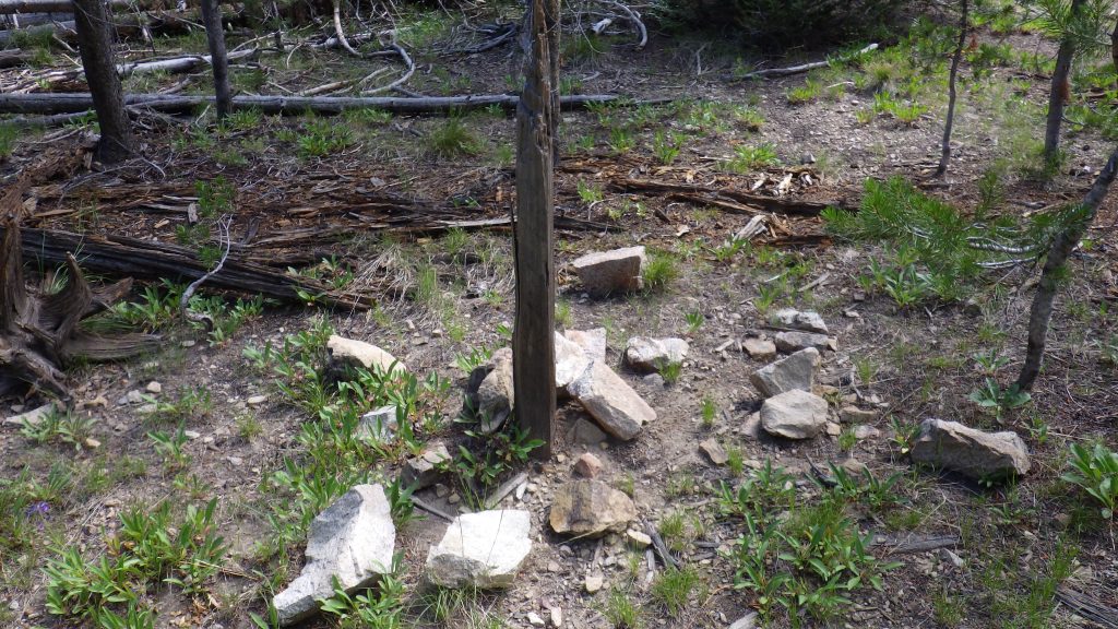
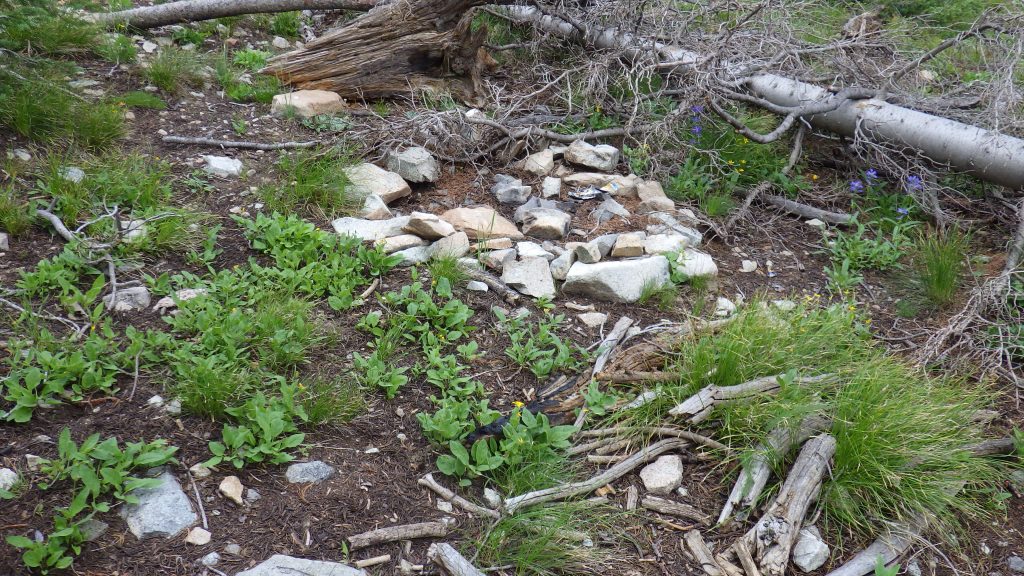
I don’t remember if this trail was there back in 2014 or not, but we didn’t explore it. That trip had its own trials and tribulations and we were too tired to explore once we both got to camp. On the east side of the lake, I found a disused fire ring, and another not-so-great spot behind some trees. But the trail continued until I came upon what must be a hunting camp. Someone had built a log picnic table, there was a fire ring surrounded by sitting logs, there was even art up on a tree and down on the ground. Plus, there were plenty of flat spots, even if they were still a bit gravelly.
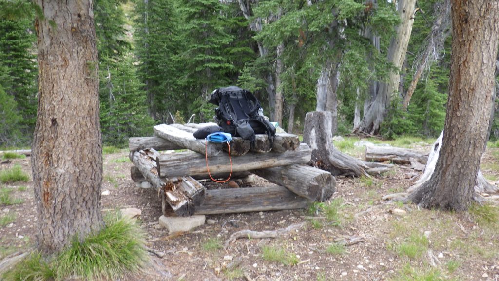
I walked back to my backpack on the west side of the lake and happily hauled my gear over to the campsite. There was even a view down to the North Fork that I’d traversed earlier in the day; I couldn’t see the creek, but I could see it’s canyon cutting through the landscape.
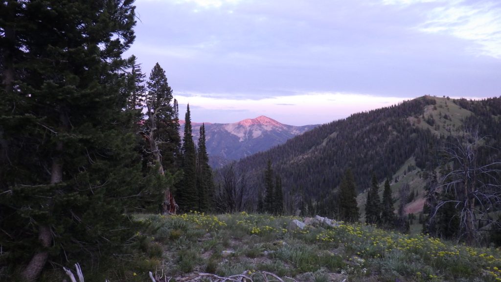
I pitched my tent and settled in for the night. It was a good spot, and I was glad that I’d found it. As the sun set, I took a few pictures of the glowing mountain to the east. Tomorrow would be a much shorter day, mileage-wise, even if I detoured to Skillern Peak as planned.