Time doesn’t matter on a backpacking trip. You eat when you’re hungry and sleep when you’re tired. Daylight matters, but you don’t need a watch to know that the sun is shining. My cell phone can only tell time when it has network access, so once we were twenty minutes outside of Boise, the only time piece we had was the altimeter/barometer, which Ambrose had set before he left to pick me up from work.
For the solo trip that I didn’t take up Sheep Creek last year, I would have been dropped off at the bridge that marks the boundary between Boise and Elmore counties. Ambrose would have driven on alone to meet me where Roaring River Road meets the trail. The trick was, neither of us had driven down Roaring River Road before, so I might have had to hike out to find him if our car couldn’t handle it. As it turns out, the car was able to navigate the road, even though I cringed every time a large rock hit the underside of the car. I kept offering to get out and move rocks so that we wouldn’t have to drive over them, but Ambrose just took it slowly and drove on.
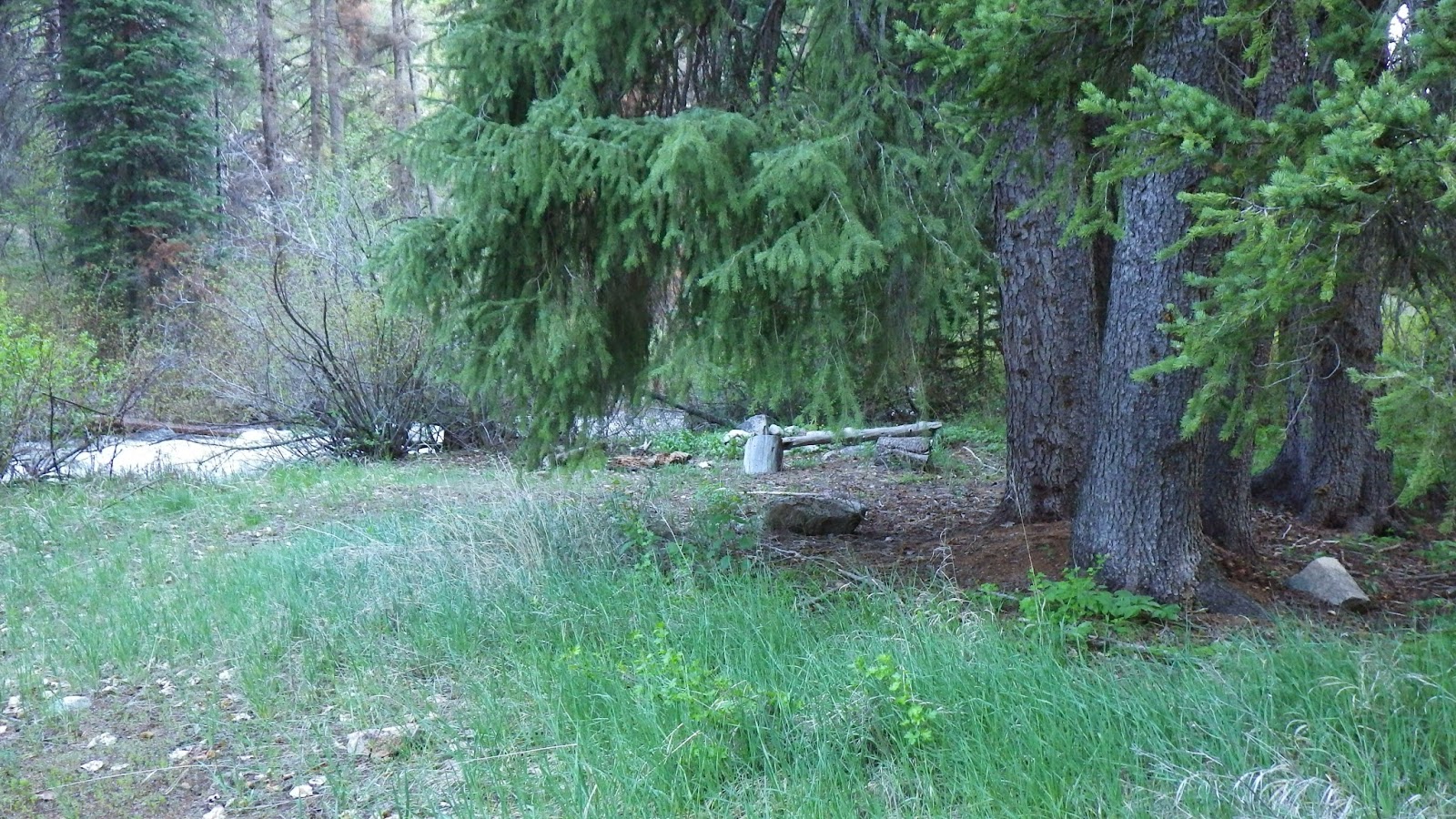
At times, the road seemed barely wide enough to fit even our small car. There were no guard rails, no barriers between us and a long slide down into the swollen river below. I tried not to be too tense, but I grew up in Illinois. These kinds of places just don’t exist there. Once we arrived at the trailhead, it was a relief to walk around looking for a good place to set up the tent until my legs had lost that rubbery feeling.
The river provided ambient white noise as we set up camp and finished eating dinner. I checked the time on the altimeter and determined it had taken us two hours to get settled into the tent from the time we arrived. Not bad at all for the first trip of the year. I made sure the alarm was set, and tried not to be too obviously unhappy at Ambrose’s plan for us to get up at 5am.
I slept well, only needing to get up once to answer a call of nature, until about 4am when a little bird decided that our tent was in desperate need of a serenade. A serenade that lasted nearly an hour. There was no way for me to fall back to sleep when what sounded like an especially sweet alarm clock kept going off with no snooze button.
At 10 to 5, I’d had enough. I asked Ambrose if he was sure he’d set the time correctly, because I didn’t believe that the birds would be up two hours before sunrise. He assured me that he had set it, double-checking the time against his computer.
So, we started to get ready to leave. In a little over an hour, we had eaten breakfast, gotten the day packs packed up and headed out. I started up the chronometer on the altimeter/barometer as we walked to the trailhead so I would know how long we hiked. I didn’t want to have to remember what time we left, and what time we got back and figure out the time when I could do it the easy way.
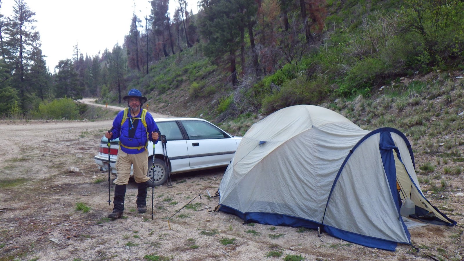 |
| Ready to leave camp. |
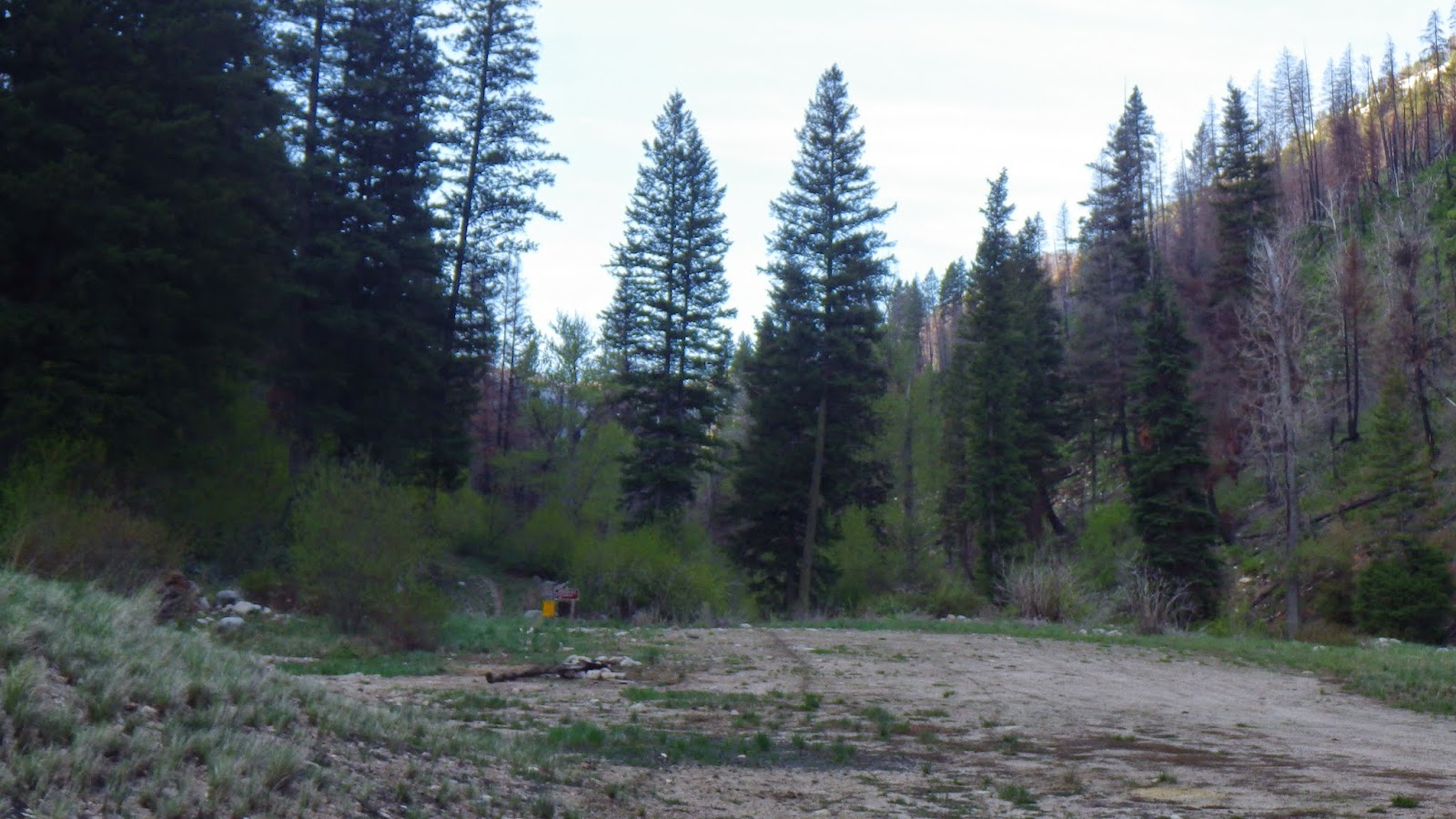 |
| Heading to the trail head! |
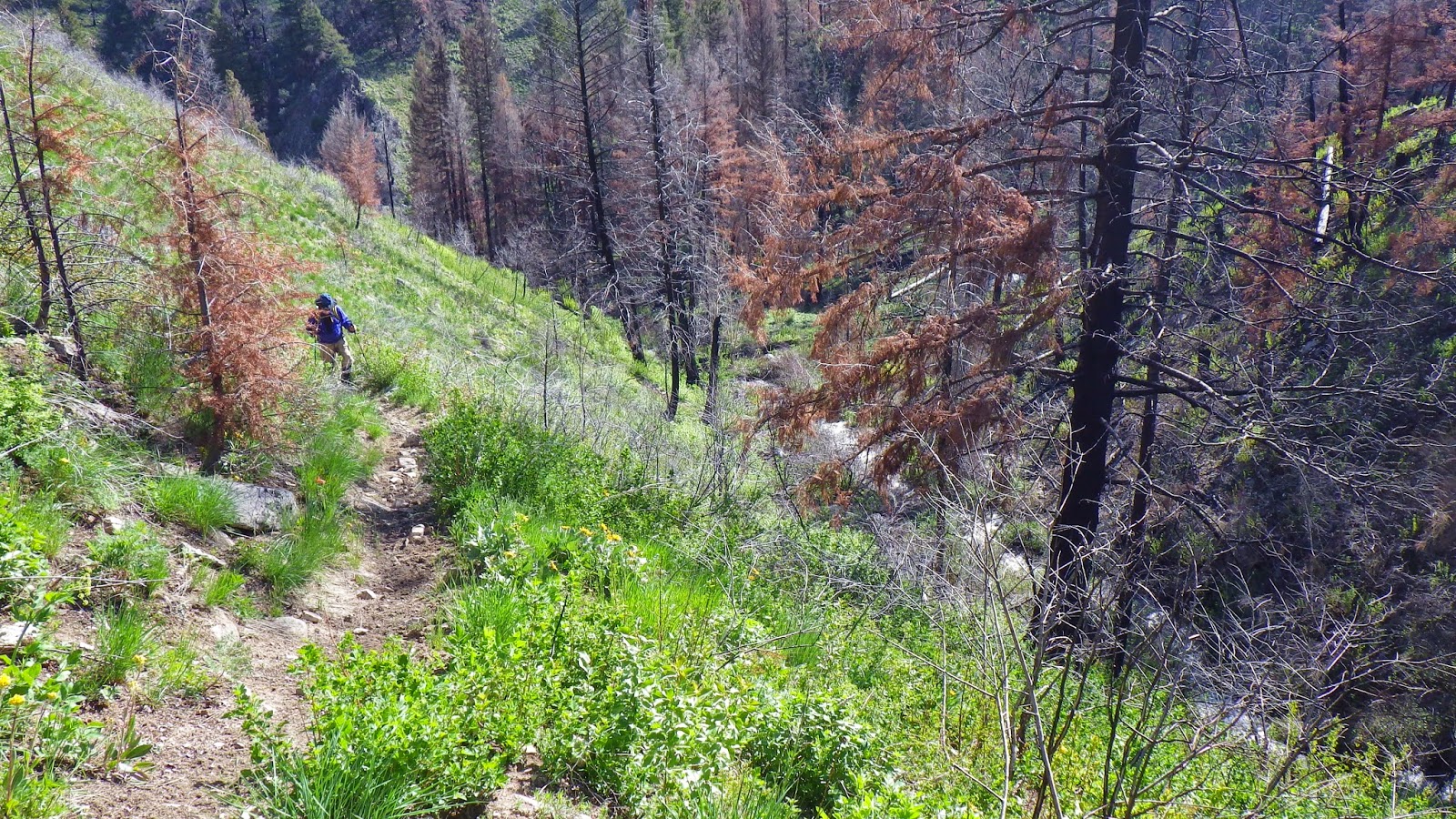
The sun was up by this time, but not high enough to hit us as we started walking up the canyon. I’ve learned my lesson about starting out wearing too many layers while hiking. I was a bit chilly wearing my long sleeved shirt and gloves, but I began to warm with exertion quickly. The road crossed the river and turned, but the trail continued to follow it up stream. I led the way, paying careful attention to how I was placing my feet. We had been hiking for only a few minutes when the trail before us became a part of the river.
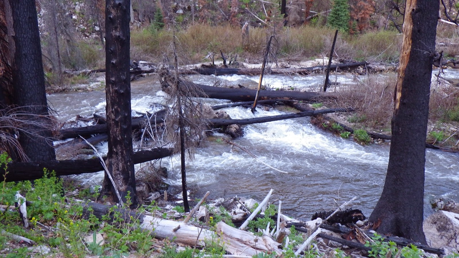 |
| The Roaring River swollen with water. |
Now, there was a sign at the trail head warning that this area had been burned and there might be fallen trees, washed out trails, floods or other diversions. I had a moment of disappointment, seeing the trail, and our planned hike, disappear before my eyes, but then I saw the pink tape waving in the wind. There was already a detour in place.
But it wasn’t an easy one.
In order to get past the flooded path, we had to climb up the steep, burned out bank. The area wasn’t entirely burned out, but evidence of the fire was clear in charred trunks and the crumbling dirt that slid beneath our feet as we tried to follow the trail of pink flags.
I tried to lead the way, but I got nervous as I found myself climbing higher and higher on ground that slid like ball bearings under my boots. So I asked Ambrose to take the lead and stopped trying to focus on route finding over keeping my footing. I followed his lead, and we made it up and over and finally down to where the path came out from under the water.
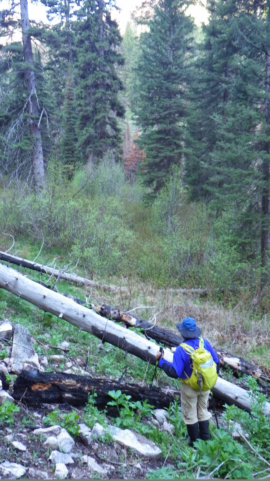 |
| Ambrose scouts the trail detour. |
After the detour, there was a nice, though damp, area to camp, complete with a fire ring and cut log seats. We spent a few moments looking around it before heading on. Ambrose surprised me by saying that this would be where we would bivouac if we didn’t get past the reroute before dark. I couldn’t imagine that we wouldn’t make it back by then, but I was glad that he was thinking ahead. It would be a miserable way to spend the night, but better than slipping down the slope into the roaring river below.
 |
| Not a bad place to camp, if necessary. |
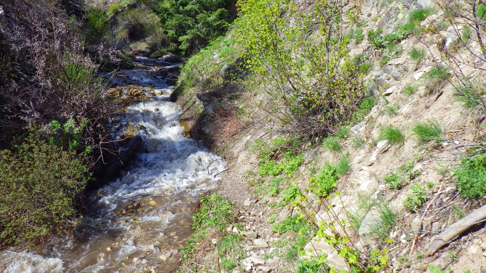
We hiked on as the sun crept down the canyon, taunting me by shining on the opposite side of the river first. The trail was easy to see and stay on, though it did turn into water a few more times, the water was never too deep to navigate through. I tried to be mindful of the trail by walking through the water rather than on the side of the trail. After all, what else are water-proof boots for?
 |
| The sun is creeping up. |
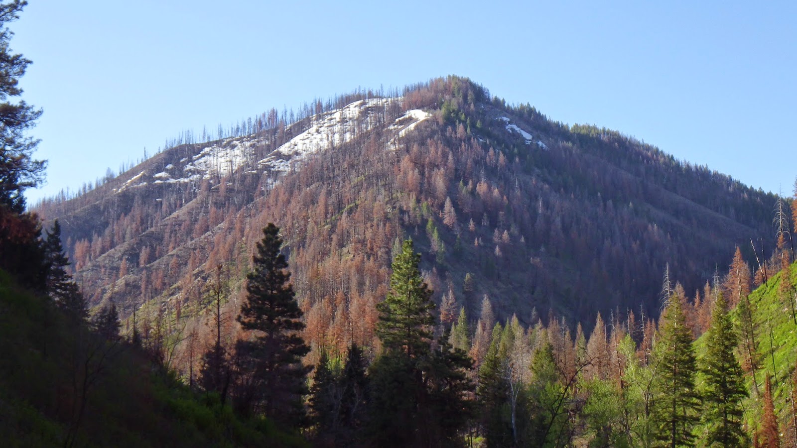 |
| Snow and sunlight on the slopes ahead. |
When I saw the bridge across the river had not been flooded over, I was happy, because there simply wouldn’t be a way to ford it. In an emergency, we could have used the rope that Ambrose carried to help ourselves cross without being swept away, but the speed and depth of the water precluded that kind of effort just to keep going (especially since we’d have to cross back). I was so happy, that I didn’t notice the deer that leaped away from the river until Ambrose pointed them out.
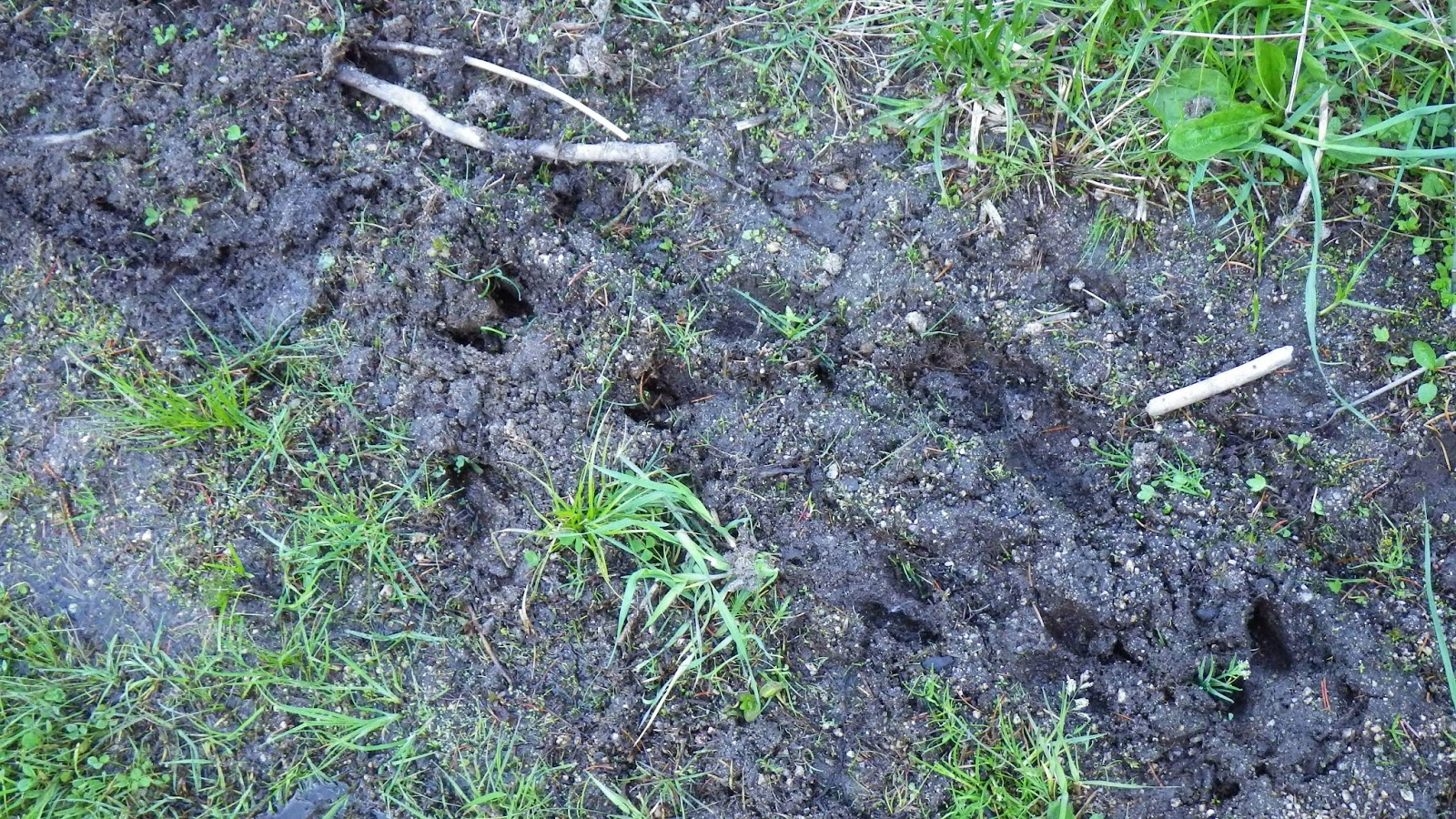 |
| We could see evidence of the deer on the trail before we saw the actual deer. |
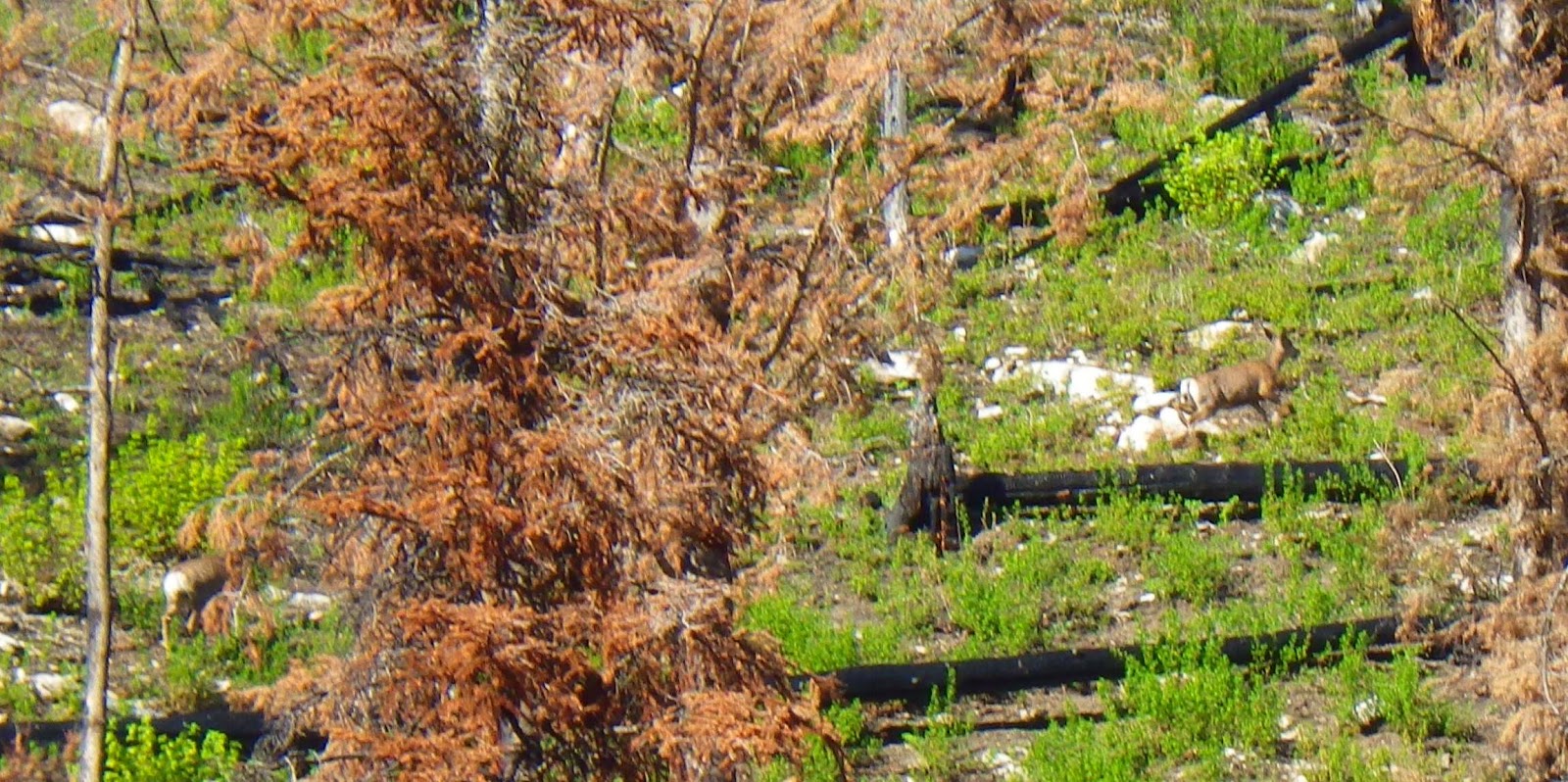 |
| They blend in quite well against the hillside. |
It wasn’t very far to the next bridge, and we took our first break there, after about 90 minutes of hiking. As we sat on the bridge, the sun came ever closer to shining on us, and I decided I could pack up my gloves rather than continuing to wear them. My hands were only a little chilly after that, and only for a little while.
According to the map, we would have two more crossings to make, but I had only seen the two bridges when I looked at online maps. Unless the river got a lot shallower or slower really fast, we were facing the potential of having to turn back after less than 2 hours. Maybe there’s a bridge, I thought, or a shallow ford or a convenient tree trunk.
Well, there was a tree trunk.
But I wouldn’t exactly call it convenient.
Two logs, both partially burned, spanned the water well above any conceivable flood line. Well enough above that I hiked well upstream trying to find a better option before Ambrose called me back. He was already crossing, leaving me with no choice but to follow as soon as he made it across. He always goes first across these kinds of crossings, the theory being that if they hold his weight, they should hold mine.
And I was’t particularly worried about the log holding my weight. Instead, I was freaked out about losing my balance and tumbling 10 feet into 3 to 4 feet of rocks and furious water. Okay, maybe it was more like an 8 foot fall (6 foot?). No matter, it was too high for my comfort. But I walked across it, one trekking pole digging into the small second log on my left and one trying to find purchase on the right of the log I walked on.
Not helping my nerves: the fact that the damn thing bounced under my weight.
It also sloped uphill, and seemed a lot longer once I was on it.
But I made it across, and proceeded to give a loud woop. Because kissing the ground just wouldn’t be dignified.
Not five minutes later, the trail ran into the water again. This was an off-shoot stream, sure, and not as deep as the roaring river, but it was surging fast and deep enough to sweep me off my feet. At least, I assume that’s what would have happened if I tried to ford it. I didn’t. Because Ambrose found another log.
 |
| There was barely room to get off the log on the other side. |
This one was so completely charred on the outside that he had not considered it a viable option at first, but when further scouting revealed no other options, he decided to check it out.
It took his weight, but there would be no walking across this one. One at a time, we scooted across it, clinging with our legs and half-crawling forward.
At least this one didn’t bounce.
 |
| The charred log crossing left its mark. |
It did end in a steep slope of dirt that we had to navigate in order to get back to the trail. But it was going to be smooth going from there, because we had no more stream crossings… according to the map.
 |
| Looking back while waiting for Ambrose to catch up with me. |
Unfortunately, maps aren’t always right.
The trail dropped down beside the stream and then, once again, disappeared into the river. Only this time, there was no indication of a crossing. It just ended, as if you were expected to keep walking right into the water. I had been walking ahead of Ambrose, so I had to wait for him to catch up. Next to the trail on the right was a steep wall of dirt, rocks and brush. To the left and ahead was water. I had no idea where to go, but I didn’t want to turn back, not after we’d conquered the detour and two scary log crossings!
 |
| Where did the trail go? |