This is an account of the hiking trip I took last weekend.
Friday July 19th
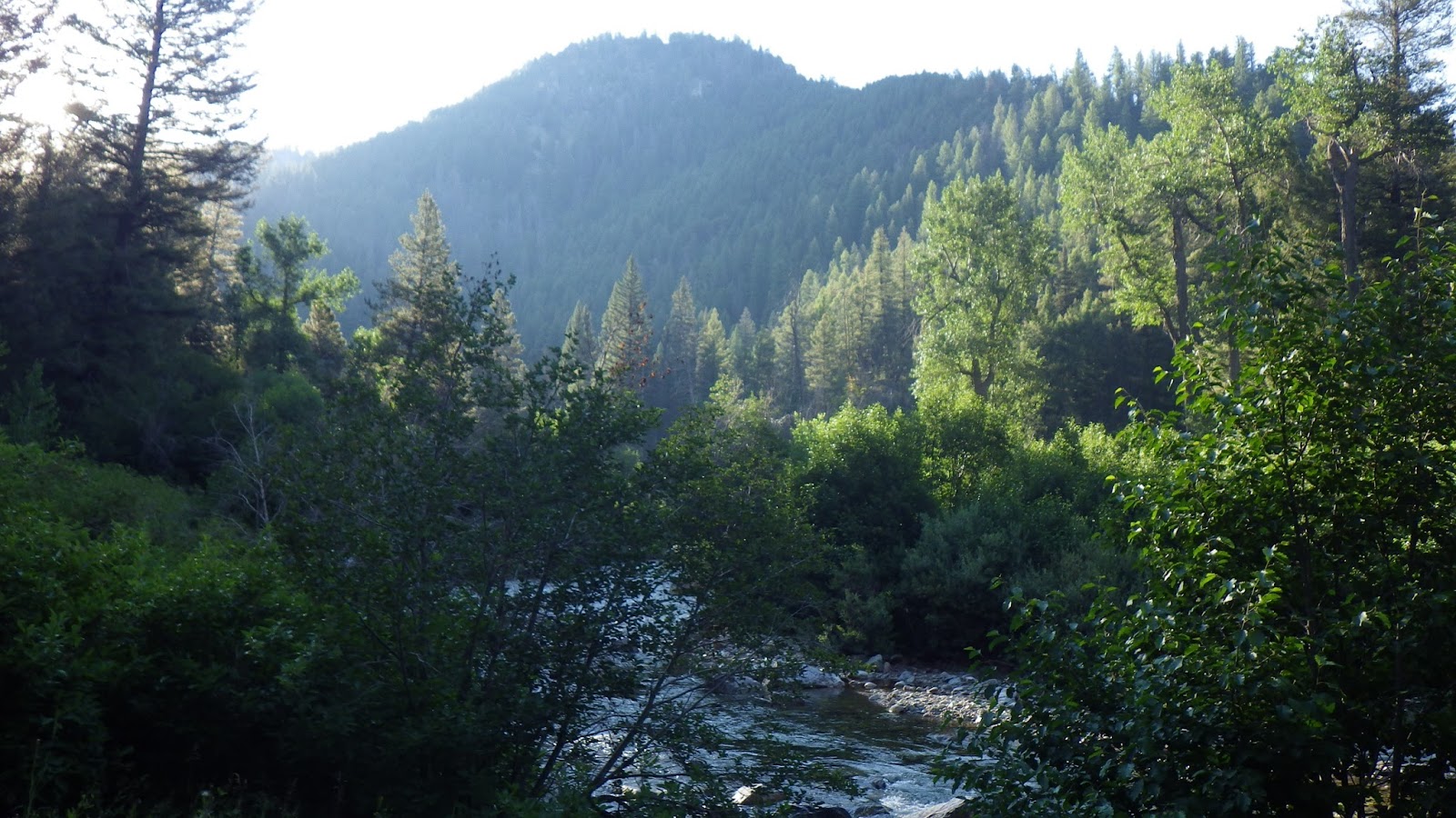
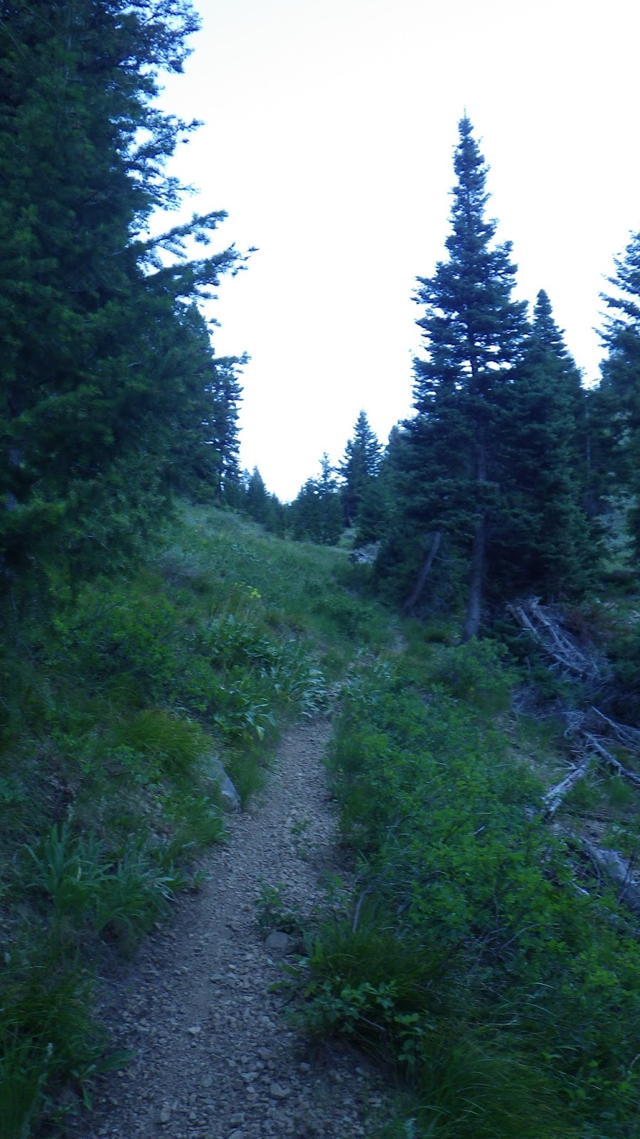
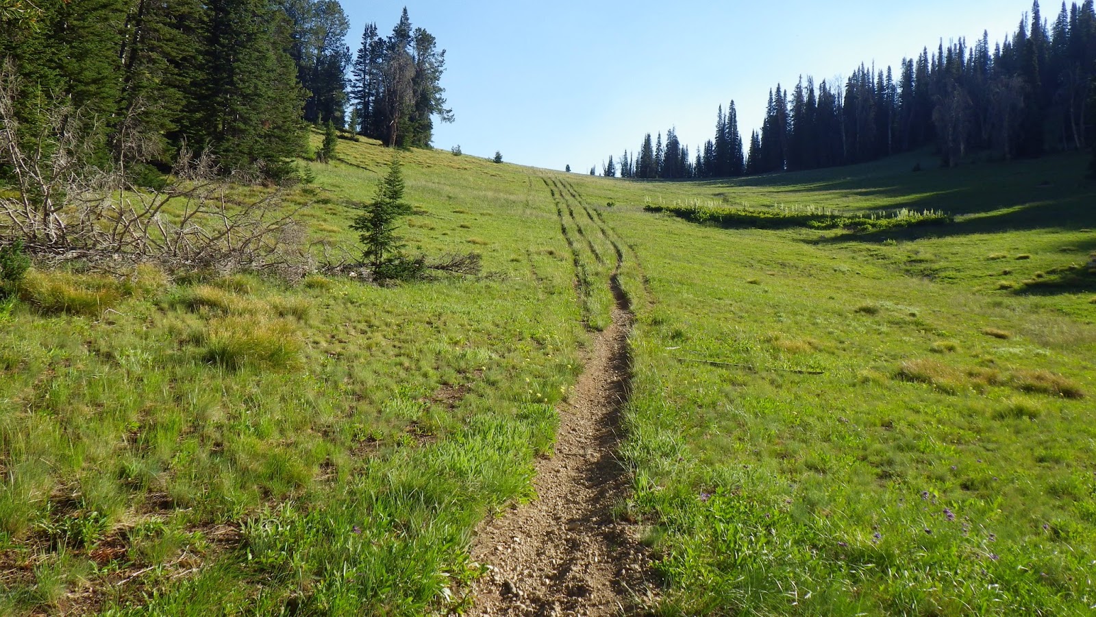
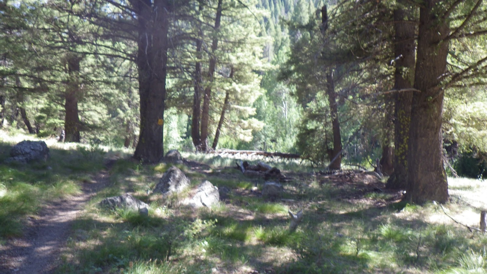
We drove to the Canyon Campground on the Big Smoky River by way of Fairfield, ID on Friday afternoon, arriving close to 4pm. For the first leg of our journey, we planned to hike out to Skillern Hot Springs. The very first backpacking trip we took together was to Skillern, and it would be a conservative estimate to say that we took 3 hours to traverse the 2.5 miles from trail head to camping site.
I rocketed out and arrived in 63 minutes, while Ambrose came in at a still-respectable 93 minutes. Although treadmill training had not prepared me for actually being out on the trail, I do feel that it has allowed me to learn better pacing. I have a much better sense now of what it feels like to go 3 miles per hour up a 15% incline – it’s a lot faster than I used to think.
We quickly set up camp and got ready for the night. As dusk was falling three hikers walked up to the camping area and Ambrose directed them to the open site in the back. We had taken the one in the front, because he likes it better. I like the stones that are pushed into the rough shapes of couches near the front fire pit, even though every time I sit on them I manage to get sap on me from the tree they’re propped against, and this trip was no exception. I had a sap spot on my pants the entire trip.
It wasn’t easy to fall asleep that night, in part because the guys in the back site were being quite entertaining, running around with their shirts off, throwing knives at tree trunks and inflating a huge air mattress with a pump that they’d carried out. Our style of camping is much more weight conscious, and the idea of carrying out a pump and an air mattress got me laughing hard enough for tears to run out of my eyes. They brought tears to my eyes again when they started a fire directly upwind of us, but I fell asleep eventually, knowing that the alarm was set for too-damn-early o’clock.
Saturday July 20th
I was totally spoiled this trip by the high night time temperatures, and I realize this. Waking up before the sun rises to 45 to 50 degree weather is downright luxurious for backpacking. That doesn’t stop me from whining about it though, because no matter how relatively warm it is outside, inside my sleeping bag is a cozy heaven of warmth that I have no desire to leave. But I’ve been crabby in the mornings the last few times we had gone out and I made a decision not to be that way for this trip. I kept to it. Mostly.
I changed clothes and prepared my gear a bit for leaving, then got out into the chill air and started breakfast while Ambrose did water duty. Breakfast on this trip was the same every day: first a batch of instant latte mix coffee, and then dehydrated eggs with bacon, grits, Spam and cheese sauce powder. We never bothered to rinse the latte mix remnants out of the pot, partly out of laziness and partly because why waste the precious extra calories?
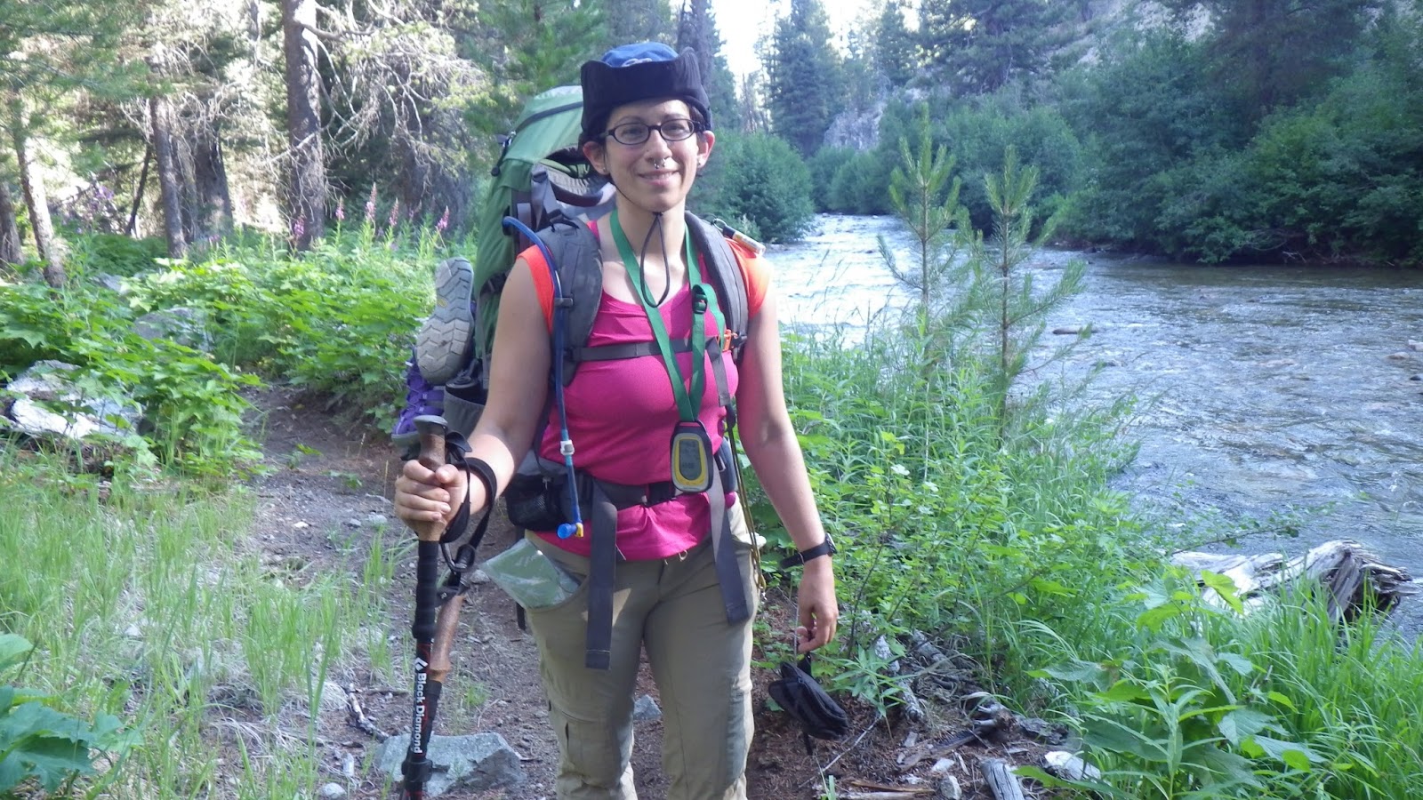
It always seemed like more than we could possibly eat, and yet, we somehow managed not only to consume it all, but be hungry again in just a couple hours – must have something to do with the weight of the packs we were carrying up, and up, and up the trails. Mine weighed in around 35lbs, and Ambrose’s was about 42lbs. Along with my personal gear, I carried the cook kit and half the food, while he took the tent.
We’ve been doing training hikes since summer started, but in those training hikes, we would go out and make camp, and then do a day hike the next day. While it got our bodies into better shape, it didn’t prepare us for the strain that packing up your whole camp every morning provides. It is far more difficult when you have to leave the spot you’ve just slept and find a whole new one, that you hope has good water and flat, soft ground and not too many biting insects and no bears.
After breakfast, we finished packing up and got onto the trail. The guys in the back spot didn’t stir a bit from our commotion. Ambrose said they had been up til 3am, and I supposed they weren’t planning on going anywhere like we were.
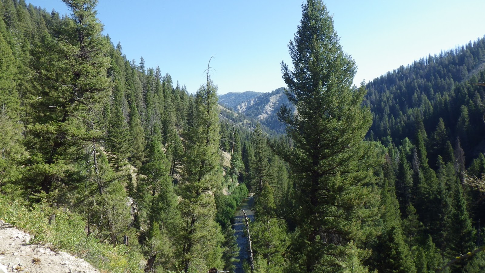
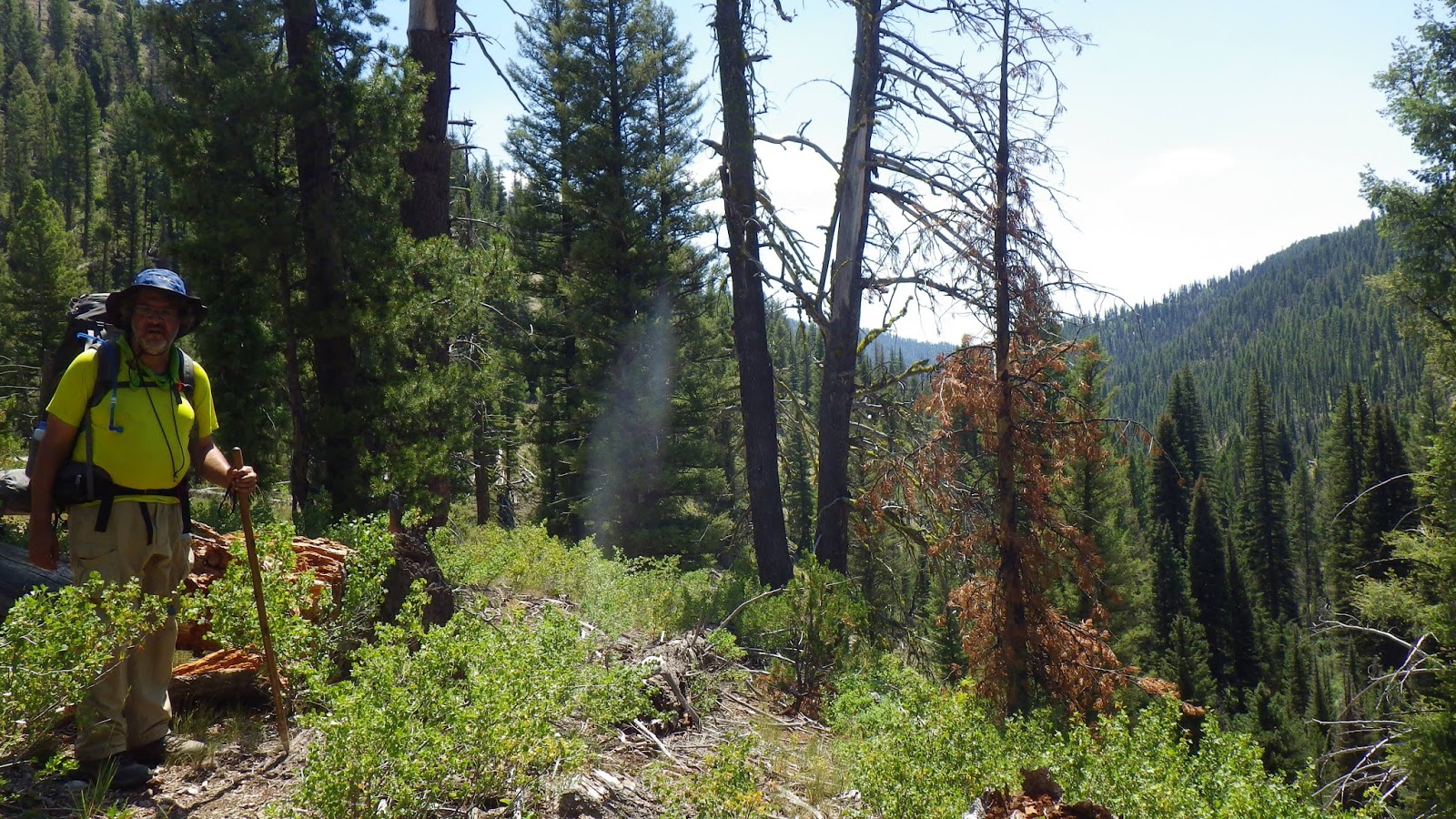
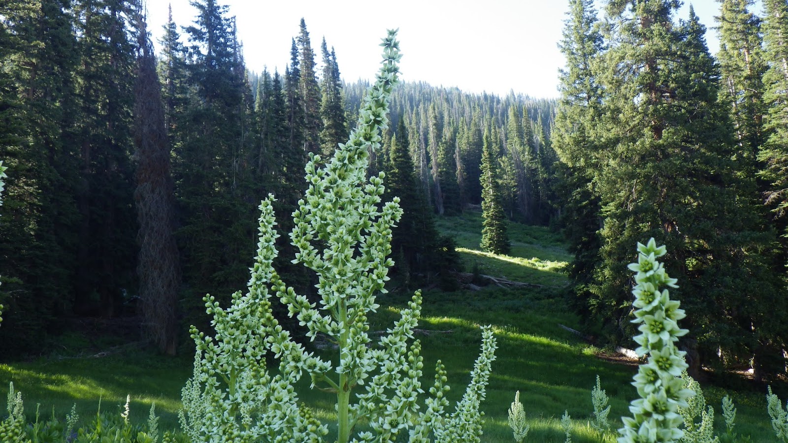
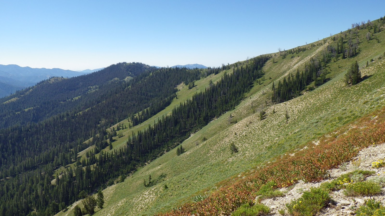
We had never gone beyond the hot springs on this trail, and it was exciting to see the terrain beyond them for the first time. We followed the Big Smoky River, with the trail meandering now closer, now farther away from the rushing water. I ranged ahead, but always kept Ambrose in sight, or earshot. We both wore bear bells on our packs that gave our steps a merry jingle.


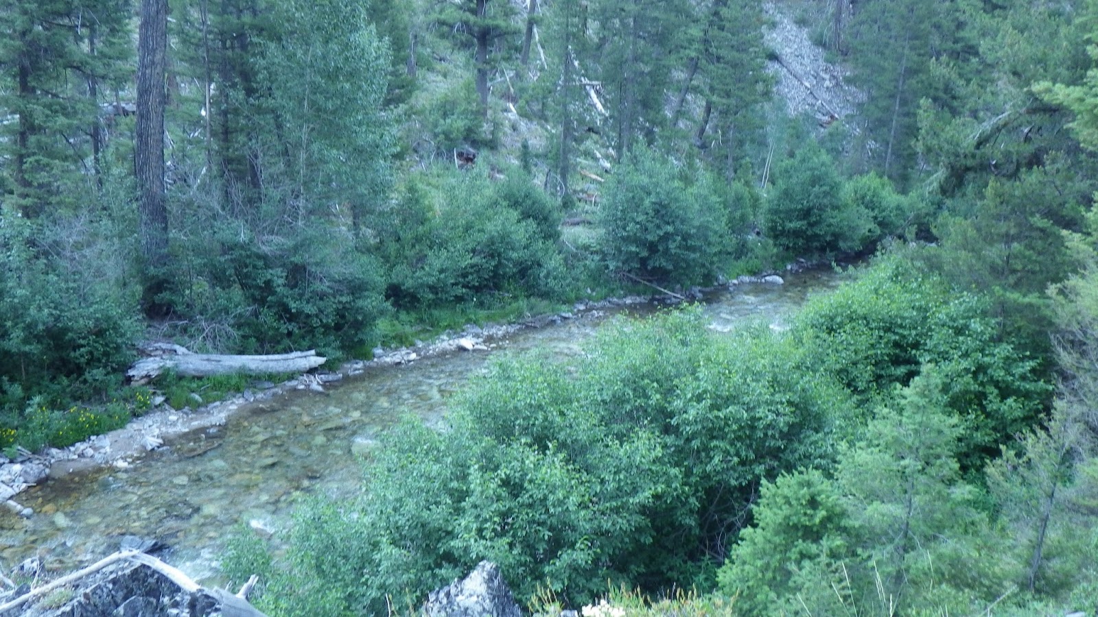
Ambrose was counting the stream crossings that we did in order to find where our trail junction would be. The problem was that there were far more stream crossings than the map indicated. Some were tiny little seeps just wetting the trail, others slightly bigger flows that could still be stepped over easily. Then we came upon a big one. The choice was to drop packs, switch to crossing shoes and ford it, or go upstream and see if the log falls would support us across.
We chose the logs. This stream was crossed by two large logs, not close enough together to use together, but close enough to complicate our crossing. The upstream log still had a lot of branches spoking out, and the downstream one was also rough and pokey. Still, with that much weight on my back, I didn’t trust myself to balance on my feet, so Ambrose tossed our poles across and I sat down to hump to my way across the log. With some logs, it’s easy to hump along, because they’re smooth and unobstructed, but this log was covered in bits of bark, protruding branch ends and I also had to navigate my upstream foot around the branches of the upstream log – all with a pack weighing nearly 30% of my body weight pulling and threatening to get caught on every little thing. I had to lean forward at times, and use my hands to scoot forward, and then lean back to allow my heavy-booted feet to get around obstacles.
It was tiring, and stressful, and it got to both Ambrose and I. That’s really our only excuse for what happened next. We walked right back to the trail we were on, filled our water bladders and moved on, never turning back to where we had crossed to see that the trail we wanted was right there.
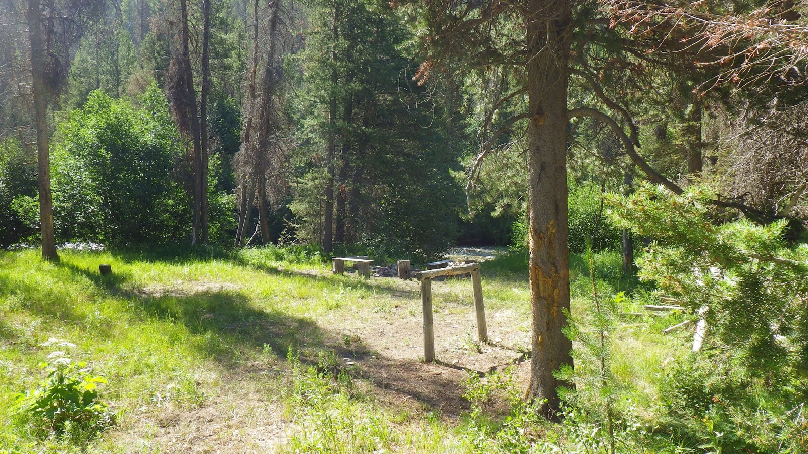
Instead, we found a cool little camp area with benches and a grill hidden behind a bush. We walked on and found a sign proclaiming Narrow Creek. We crossed Narrow Creek and then came upon the Narrow Creek Trail. It was at this point that we decided it was time to re-evaluate our situation. We should have found our trail before now. We dropped packs and Ambrose studied the map while I scouted ahead through some more pretty terrain before deciding we had gone too far. When I got back, Ambrose agreed, showing me on the map where Narrow Creek was – quite a bit past where we should have turned off.
I went back to the big log crossing at full speed, seeing the trail almost immediately upon arriving. By then it was time to eat lunch, so we took a long rest and cooked and ate. After eating, we sat for a while. I wanted to take a nap, by which I meant, close my eyes and pretend I could fall asleep in the twenty minutes that I had, but after only a couple minutes we heard a roar and I had to jump up to move my pack and trekking poles off the trail before the motorcycle ran into it. Five motorcycles went past us, and I decided to forgo the rest of my rest.
We headed up our new trail. I was growing more confident in my map reading skills, as I tend to do mid-way through trips. I still can’t visualize topos very well, but I thought I knew where we were, relative to where we wanted to be. It was around 1pm that we set off, and the trail just seemed to go on forever without arriving where I was certain we should have been hours ago.
At one of our rest stops, I forgot to close the bite valve on my water bladder and I managed to spill most of my reserves onto the back of my shirt (which felt really good), the ground and my pack (which got my sleeping bag wet – bad). Not long after that four more motorcycles roared by us on the trail, just after we had been talking about how unlikely it was that we would see any more of them, since this trail had windfall logs blocking some portions.
I ran out of water in the midst of a dry section of the trail, of course, and we had to fill up at a very shallow seep of a creek, because that was the next source we ran into. I actually hiked right past it, but Ambrose called me back, and I knew he was right to do so. But I was getting tired and frustrated with the trail. The confidence I had briefly gained in my map skills was fading, like it did, when I realized that counting streams didn’t work when the streams didn’t match the map and that my reading of the terrain was more wishful than accurate.
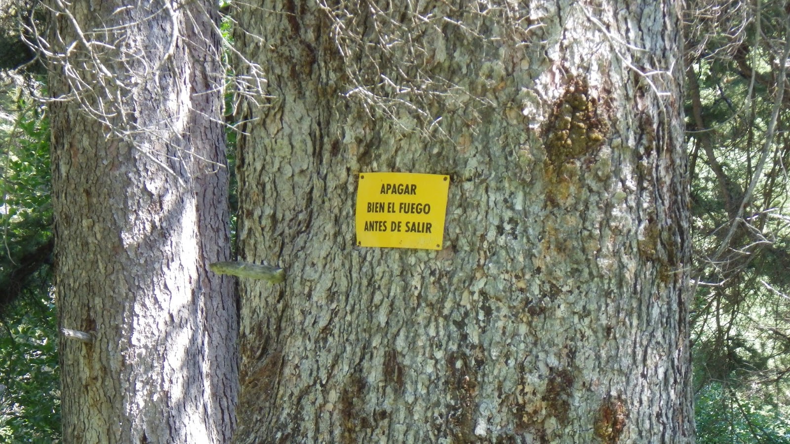
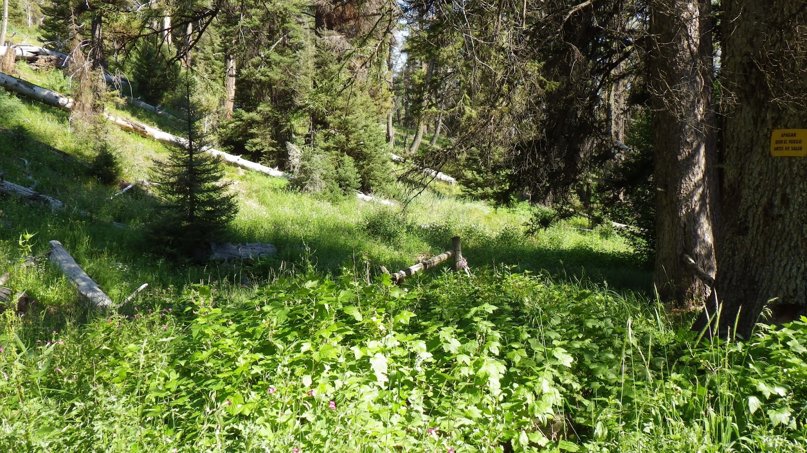
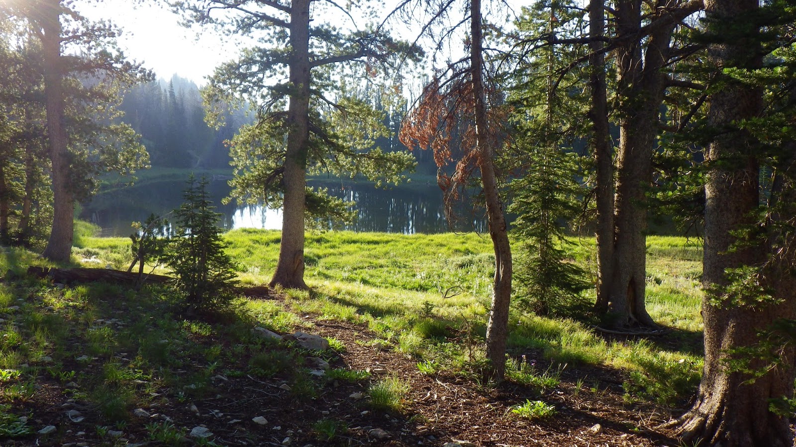
Around 4:30pm, we crossed another stream and Ambrose suggested we stop where we were and make do. I said no, because the ground was too slopey, and I just didn’t want to quit. But I knew I wasn’t far from quitting for the day, not if we found a good campsite. I pushed us on and, within the time limit I had set for myself, we found where we wanted to go. Or close enough to make no difference: a trail spur that had a nice little camping site, complete with a sign in Spanish admonishing us to put out our fires before leaving.

I was refreshed from finding the place, and finding a nice site to place the tent. There were numerous small streams rushing by, with little waterfalls making a cool music all night long for us. The only problem with the area was the flies. From little no-see-ums to huge horse flies and everything in between, they constantly buzzed us, our packs, our food, everything. Thanks to them, we broke one of our rules and ate dinner in the tent that night. Eating dinner in the tent can be an issue, because if we spill any food, then we have food smell on the tent all night, and the whole point of hanging our food in a bear bag is to keep bears and other critters away from us and our tent. But we were both tired enough not to care about that, and we took enough care not to spill any food inside.

I relaxed by reading the book I had carried out, Rising Sun by Michael Crichton, which I had recently bought at a library book sale for twenty-five cents. Ambrose relaxed by looking around our camp site and looking at the map for the next day’s journey. In retrospect, we should have both paid closer attention to the map.
Sunday July 21st
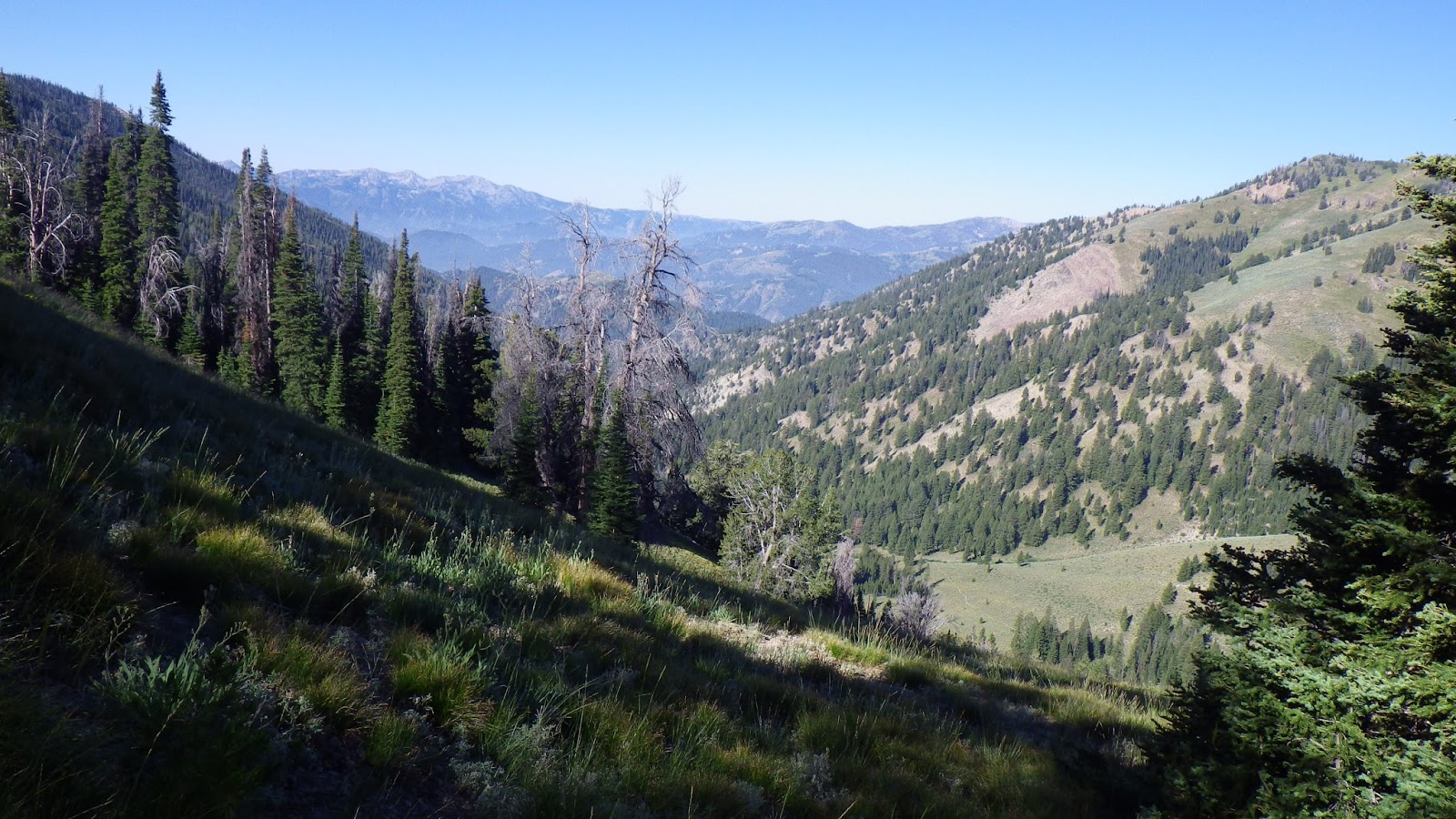
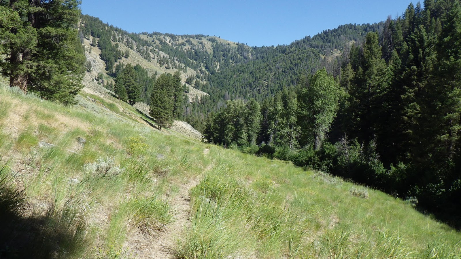
Once again, we were up before the sun, getting ready to pack up everything we could carry on to the next camp site. This evening’s camp site was to be the crown jewel of our trip, right next to the larger of the Snowslide Lakes. The mileage plan was fairly short, but intense. We would be going only about five miles, but our first leg include about 500 feet of gain, followed by over 1000 feet of loss, then 2000+ feet of gain and a couple hundred feet down from our peak saddle to the lake.
After breakfast and breaking camp, which, contrary to Ambrose’s expectations, took less than two hours, we headed up. The stream we had been following dried up within ten minutes of our camp site, and we continued on, confident that we would reach more water before we needed more water. Again, I ranged ahead of him, but kept him within my line of sight.
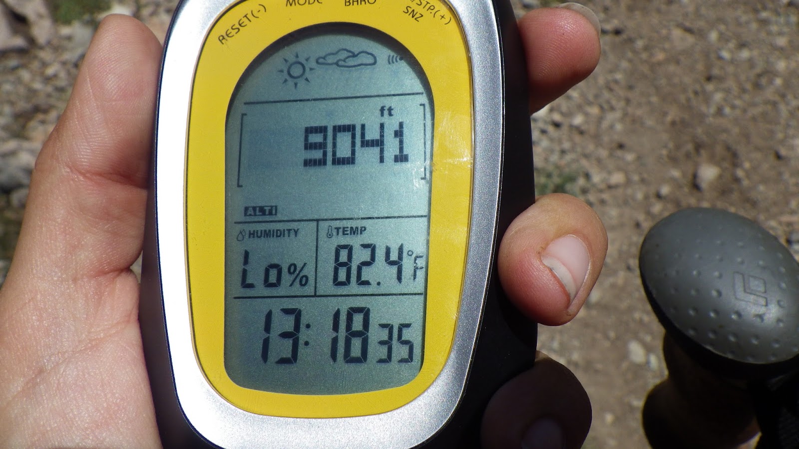
On the one hand, I like being near enough to Ambrose to know where he is, but on the other hand, I really hate to stand around and wait for him to catch up – especially when we go uphill, I am a lot faster than he is. So we made our way up to the first saddle of the day, and I complained about how the altimeter wasn’t very accurate. According to the topo map, it was off by about 80 feet. Ambrose said that was within the acceptable range, but I didn’t like it, because how was I supposed to know where I was using the altimeter if it could be off by two to three lines on a topo map (on the maps that we use, each line is 40 feet).

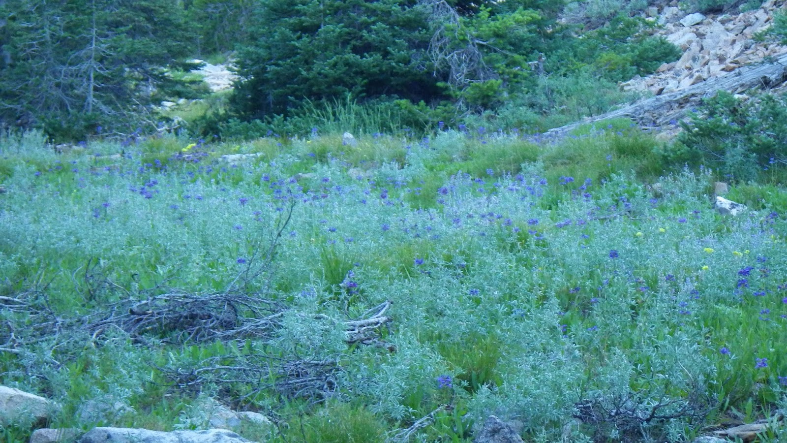
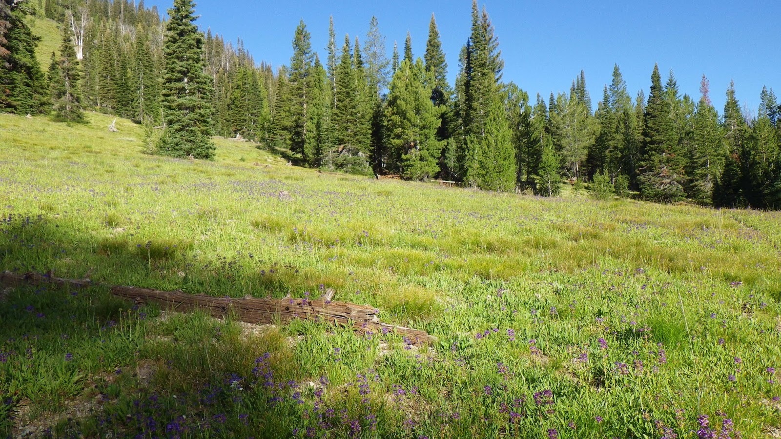

When we reached the top of the saddle, the sun had caught up with us, bathing the saddle’s meadow with a perfect morning light. I thought it would be a grand place to camp, except for the lack of water. I wondered how much I would have to pay a motorcyclist to cache water for us up here. But the other side of the trail had water relatively quickly. Ambrose found Helen Creek with a compass bearing, even though the altimeter was now off by 100 feet in the other direction.
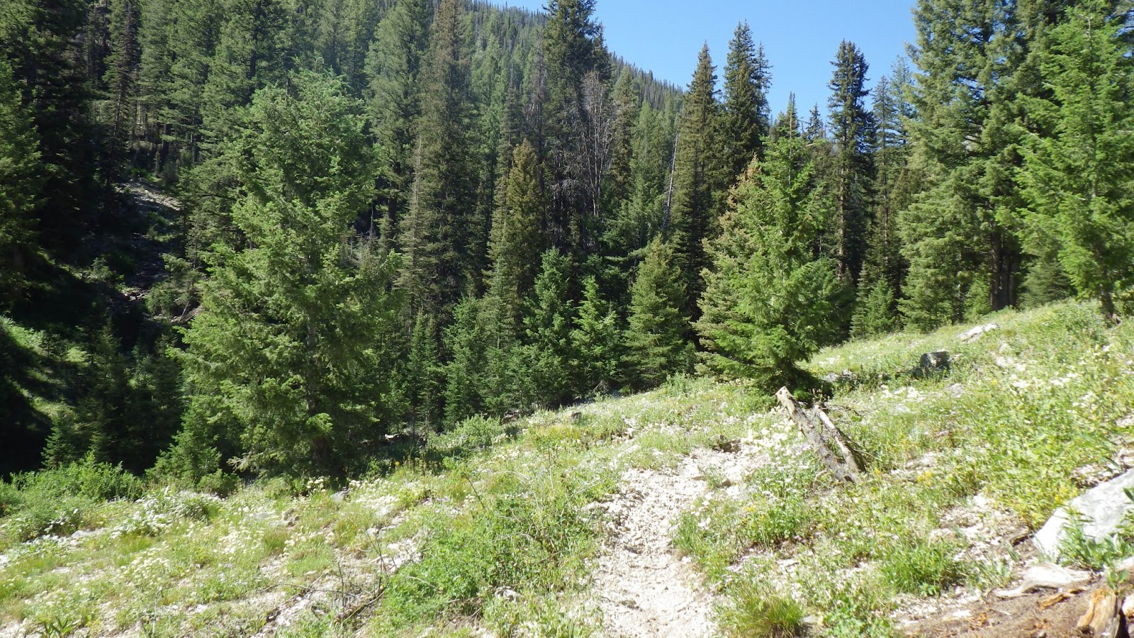
We went down, following a little stream to where it joined the West Fork of the Big Smoky River, spilling away all the hard fought altitude we had hiked up that morning. It used to physically hurt me to go downhill, because my gait was messed up and caused intense knee pains. Now that I’ve fixed my gait and retrained my muscles, it only hurts mentally as I walk down, down, down, knowing that I’m just going to be going right back up again on a trail less than a mile away as the crow flies.
When we got to the first crossing of the west fork, at first I thought we might have to drop packs and get ready for a ford. The water was wide and deep, but after I looked upstream, I saw that there might be a way to get across by following the shallow parts of the water, walking from rock island to shallow flows. I led the way across, finding it to be like solving a puzzle.
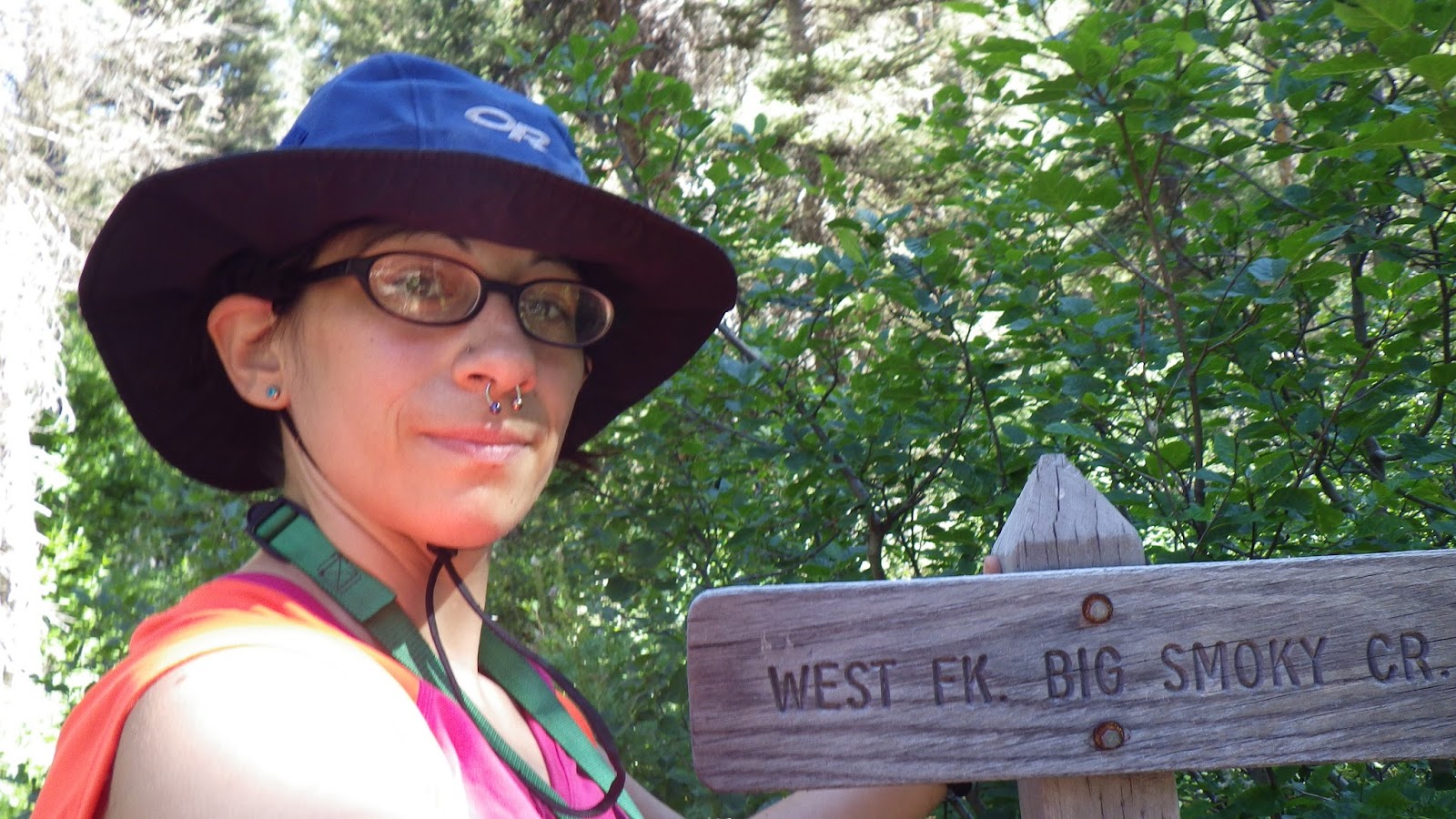
The next part of our journey involved turning onto the trail that followed the west fork, and following it to the next junction. I was a bit worried about finding it. I was hoping for a sign, but had to settle for a very clear intersection instead. Crossing the west fork at this point was a much simpler proposition of stepping carefully across stones and avoiding the deeper spots. We took a break after that crossing and Ambrose made the fateful decision.
“Go on, zoom-zoom girl. I’ll see you at the lake,” he said, smiling at me.
I admit, I was excited and pleased to be able to zoom up the trail at my own pace, but I was also trying to be mindful of not overdoing it. I tried to be steady. I took a break every hour, and filled up on water twice. After my second break, I was climbing up a long switchback above the trail I had just climbed, and I thought how cool it would be to look down and see Ambrose. So I looked down, but he wasn’t there. I walked on a few more steps, and his yellow shirt caught my eye. I yelled to get his attention and waited until he saw me and waved before I moved on.
Not long after that, the trail took another turn and I could see what looked suspiciously like trail going nearly straight up the hill in front of me. The relief I felt when the switchback turned right on back the way I came was short-lived, since the uphill slope was relentless and my feet were starting to go into ‘little-bag-of-pain’ mode, when every step felt like I was squishing a whole-foot blister. Even with putting my feet up for five minutes at each break, I couldn’t get my feet to go from pain-filled to tolerable.

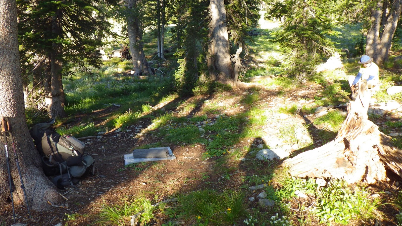
The trail split a few times, and the map didn’t show any splits. After spending money and time trying to make a fancy map case work last summer, I went super simple this year. My map case is a Ziploc gallon bag. It fits in my pocket. Ambrose was using his map case from a long time ago, and he kept it in the stuff pouch on the back of his pack. When something is not within reach, when you have to actually remove that pig strapped to your back to get at it… you tend to think twice. And sometimes it can be a while before you get to that second thought, as other things occupy your attention, like the pain filled sacs that used to be your feet and the heat of the sun and the rocks trying to roll your ankles with every step.
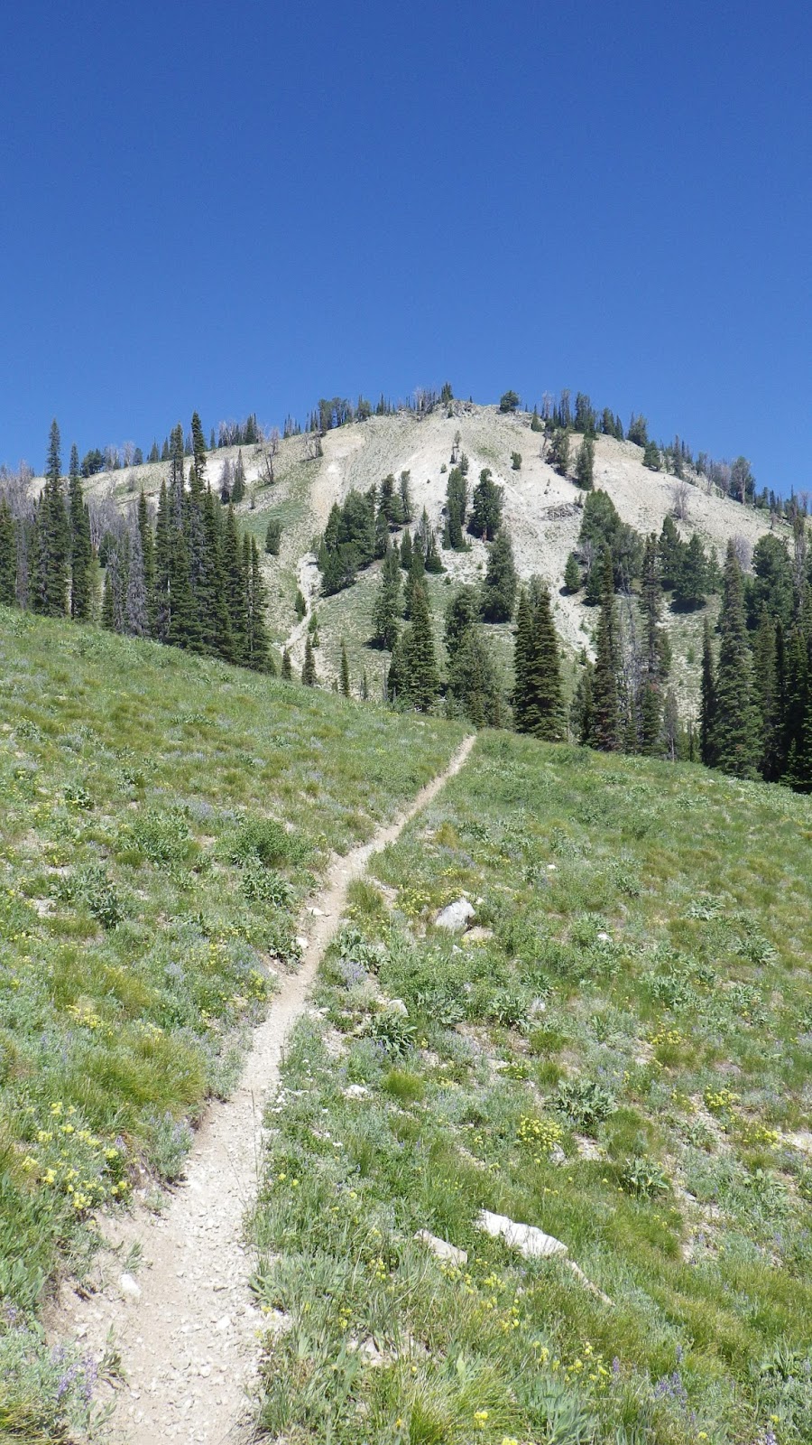
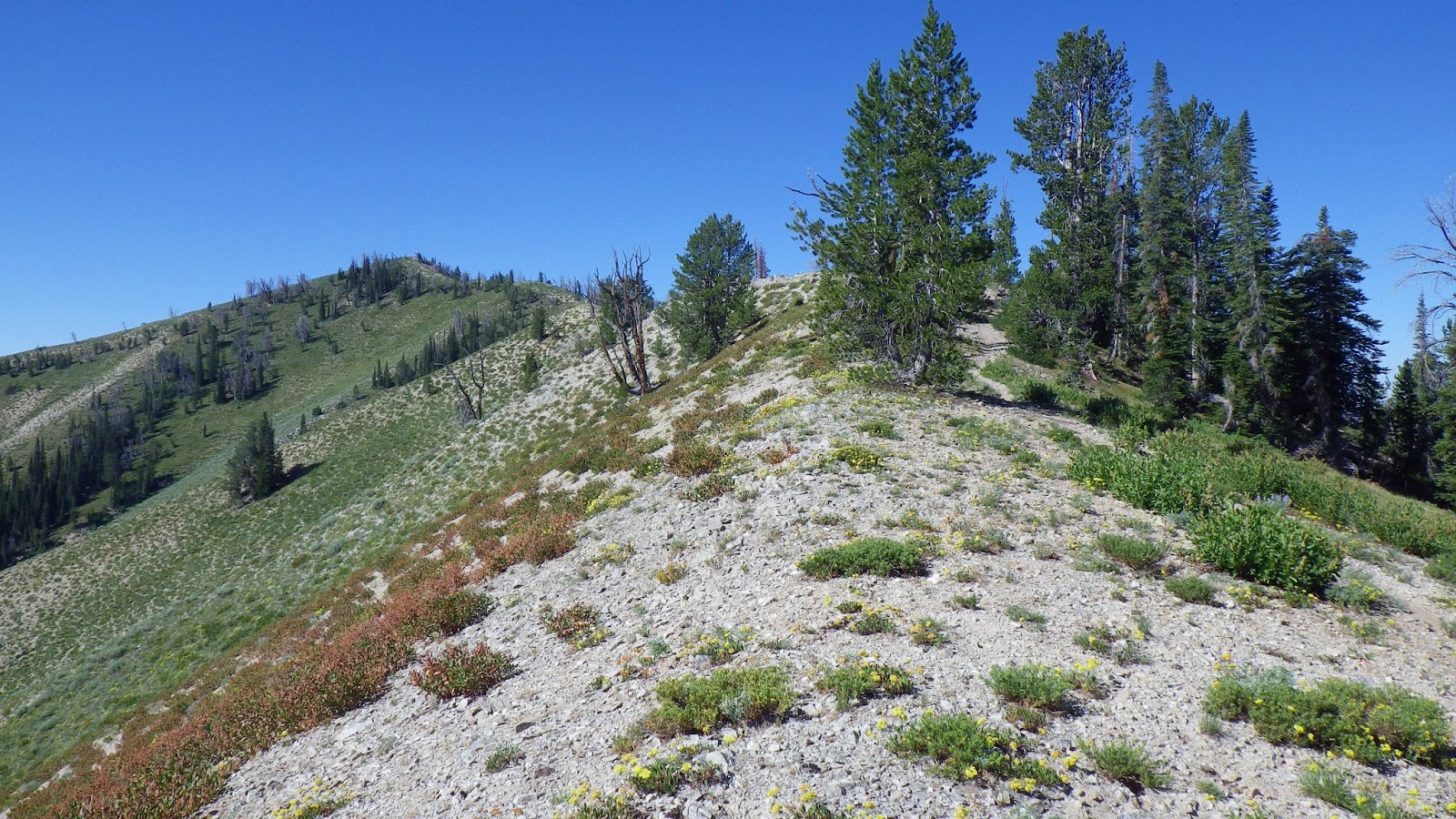
Just when I was thinking that all I wanted was a goal to reach, that if only I could see the saddle summit, I would feel better, my hopes were answered. There, before me, was my goal, the high point of my hike. In fact, it was the highest I had ever gone in Idaho, since my previous peak was just over 8600 feet. The approach was a steep rock slide, but I pushed through without stopping and whooped and hollered when I reached the top. I even made monkey noises – it was that exciting.


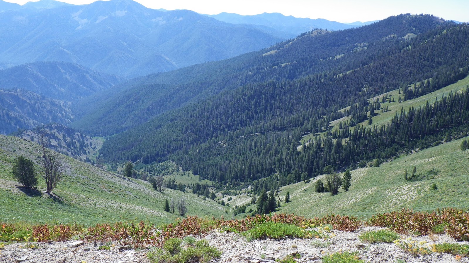
I had been really looking forward to the down hill portion coming up after the saddle, but then I saw what it was made of. Sliding rocks, ground to a slippery consistency by motorcycles, what seemed like miles of them stretching down out of sight. I inched down, wishing I could be bounding quickly instead of crawling. My feet hurt no less than before and I couldn’t find the landmark I was looking for.
No lake, no lake, no lake. I kept going down, and down, sliding rocks on every slope. I checked and double checked my map. The lake was listed as having an elevation of 8755, and I was relatively confident that the altimeter wouldn’t be off by more than 100 feet. So when I saw I was at an elevation under 8650 and facing a long slope down, I decided that I must have missed it.
Being a girl, I turned right around and reluctantly started to search both the map and the terrain for my spur. After a quick break to take care of some necessary business, I looked up the last rock slide slope that I had come down and realized that the little peak to one side of it matched the peak that my topo map showed my spur trail hugging. Then I saw it, and I wanted to kick myself for having gone so far out of my way.
I lugged myself up the slope and found exactly where the trail split off. It was not obvious, and I thought that I should leave Ambrose some signs before I headed down to check out the lake. I gathered up some sticks and made a line across the trail pointing to the spur. I cleared a spot about four inches wide on the trail in front of the line of sticks, like a barrier that would tell him to stop, I thought to myself. Then, since I knew he would be following my footprints, I made a really clear one right where the trail met the spur. I thought, for a moment, that I could just sit down on the trail and wait for him, but then I decided that I didn’t want to wait that long and I really wanted to have the camp ready for him when he finally arrived.
I was very satisfied with myself as I walked down the spur and finally got my first view of the larger of the two Snowslide lakes. It was lovely, perfect, and, best of all, it meant that I could finally take a break. I debated between a far bank and a near copse of trees. I settled on the trees because they were closer, and was delighted to see the small stream feeding the lake right next to the trees. I dumped my pack down and immediately took my boots and socks off, replacing them with my sandals with ecstatic relief.

An old firepit was also located under the trees, and I dragged my cooking kit out to it and boiled up some broth. Seeing burnt sticks in the pit, I decided they would make a better sign at the trail junction. I dragged my feet back up the spur to the trail junction and made some arrows on a rock in the triangle formed by the intersection of the two trails. I saw that my stick arrangement was still in place, and then I saw something that I refused to believe for the next fifteen minutes.
Right there, in the spot that I’d swept clear, part of a heel print and part of a toe print. Ambrose’s boots. Oh, no.
I started yelling.
“Come back! You’ve gone too far! You’re going the wrong way!”
My voice echoed, but it wasn’t loud enough. I yoo-hooed and yodeled and screamed, but Ambrose’s yellow shirt did not appear below or above me.
I considered my options.
I could wait. If he was following my boot prints, then he should turn around when he saw them stop.
I could go back, get my pack and go after him. But I wanted to spend the night at the lake.
Rescue ranger, then.
I went back to the lake and pulled the plastic trash bag that served as my emergency pack cover in case of rain. I took out my sleeping bag, all my spare clothes, all the non-essentials from my pack top, tossed them in the bag and tied it shut. All of my food went into the pack top, with the straps arranged to attach to the bear rope. I hung the bear rope and lifted the food into the air. I filtered a quart of water into my reservoir and refilled my quart squeeze bag, in case Ambrose was low on water. My boots went back on my aching feet and I tightened the straps of my sparsely filled pack.
Then I set out to rescue my husband.
When I reached the curve of the spur that overlooked the lower trail, I thought I heard a whistle, so I reached down and blew on the one that was integrated into the clip of my chest strap. It hurt my ears to blow it, but I kept giving out signals until I finally saw Ambrose’s yellow shirt on the trail below.
He didn’t have his pack.
We yelled back and forth a bit, and I was going to wait for him while he went and got his pack, until he said it was an hour away. That almost did me in, but I knew we would both get to rest faster if I went back with him. He was also low on water, so I joined him and we headed down to get his pack.
He told me that he had been following my tracks, and when he saw them end, he thought to himself, “the altimeter’s told her she’s too low and she’s turned back.” Then he kept on going, without even checking his map – after all, that would require taking off his pack. Such a man, not wanting to ask for directions.
It took more like twenty minutes for us to reach his pack. I took some of his gear since my pack was nearly empty and that would help him move faster. The air had taken on a smoky flavor and the light was a twilight gold from a fire that was blowing smoke into our valley. Instead of reaching the 90’s like the day before, the temperature fell down to the low 80’s in the strange light. It was a relief not to have it be so hot, as we backtracked our way to the lake.
Ambrose did agree that it was worth it, when he finally arrived and we set up our camp for the night. Even after doing all the chores of setting up camp and cooking and watering, I had trouble falling asleep that night. I didn’t feel comfortable on the ground, and, in a strange reversal from my usual state, I felt hot. Usually, I’m the one wearing the hat and totally covered by, if not snuggled into, my sleeping bag, but on this trip, I slept every night with no head covering and even stuck my feet outside the cover of my sleeping bag, which I used like a blanket, completely unzipped.
Monday July 22nd

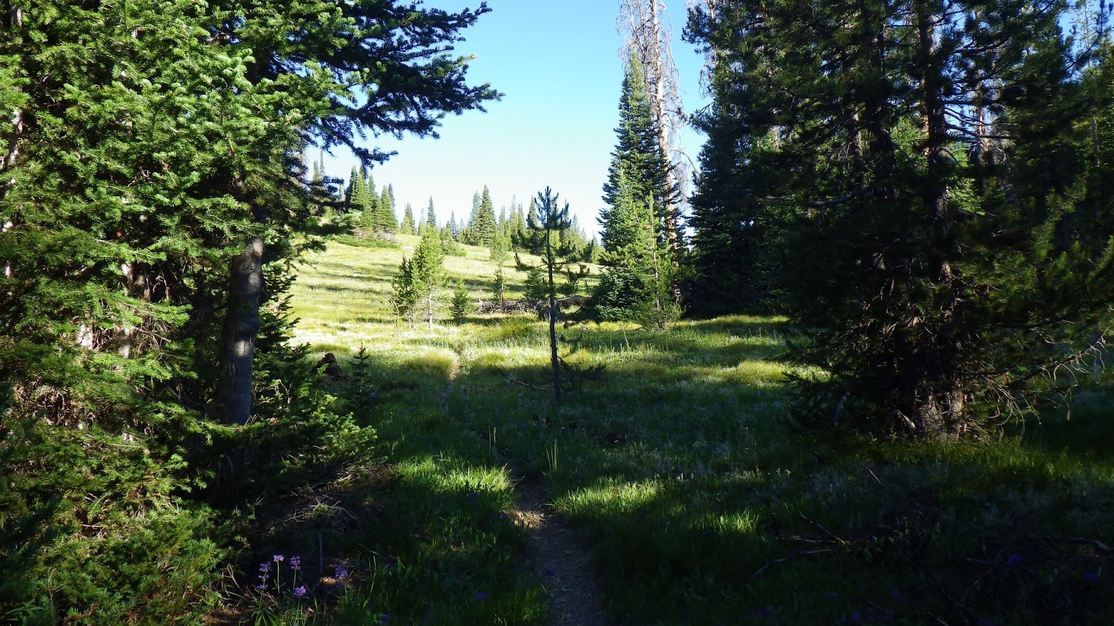
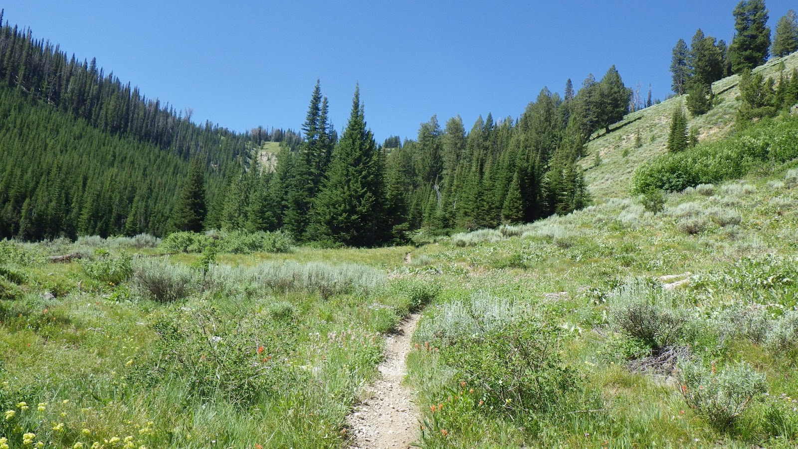
This was supposed to be an easy day, and we had, after all, previewed the beginning of our route the day before when Ambrose got himself lost. So we slept an hour later and got underway with the sun already peaking above our horizon. The first part of the journey went easily. We made it back to where Ambrose had dropped his pack and continued down from there, but on real dirt instead of sliding rocks, with grass and plants – plants taller than me!

We found our next trail junction without incident and proceeded, once again, to go up. Ambrose said where we were going was referred to as “the top of the world” by others who used the trail. It definitely felt like we were climbing to the top of the world, as the trail switched back on itself, on and on, back and forth.
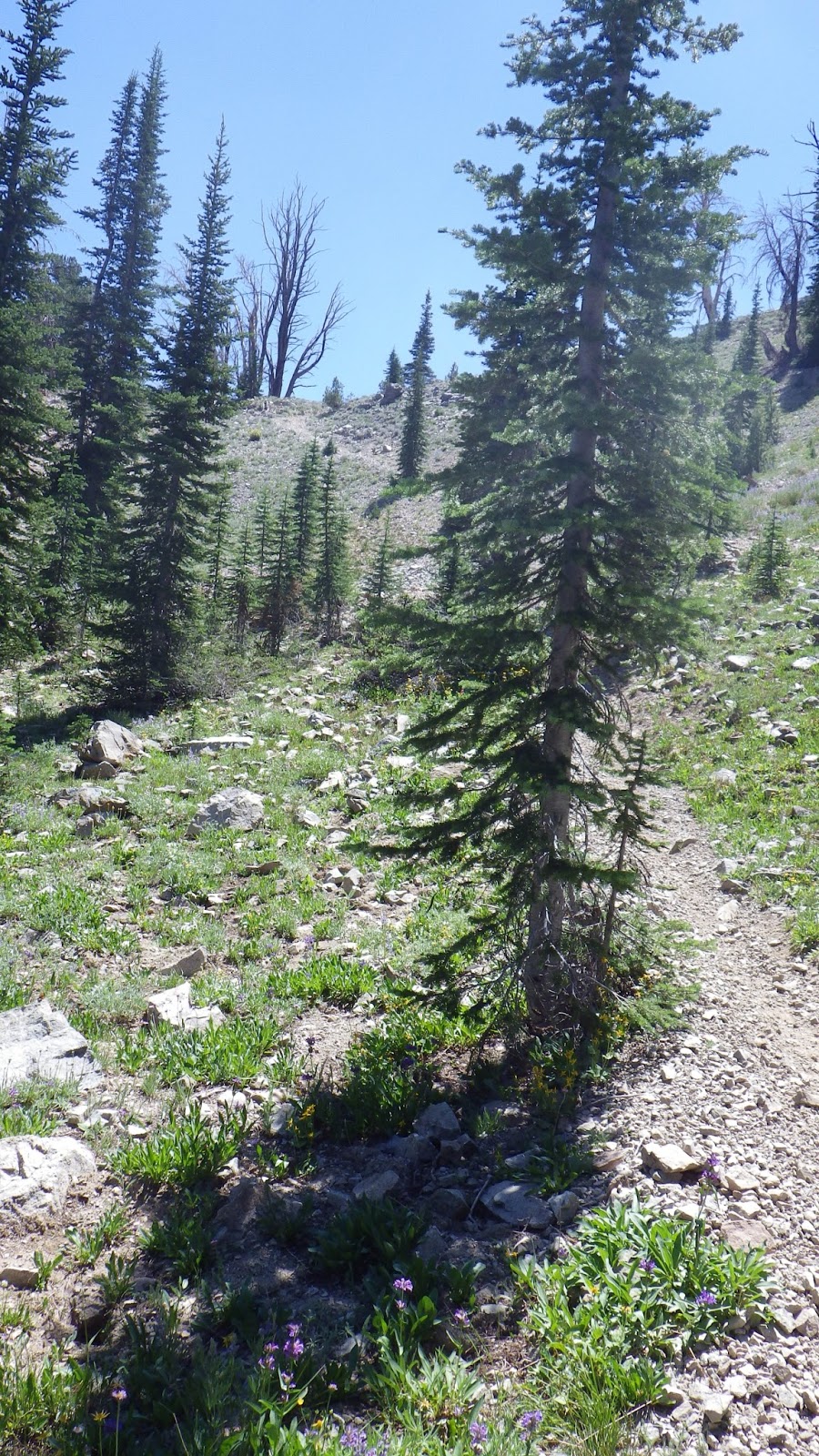
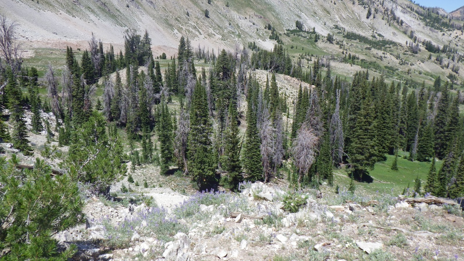
I ranged ahead again, but never let Ambrose out of my sight. I didn’t want to lose him again, and even though I would stop at any trail junction and wait for him this time, I still wanted to keep close. I used the time when I waited for him to catch up to try and read the map and figure out exactly where we were. Once again, I grew confident in my map reading skills, figuring between the altimeter and the terrain where we should be on the map. We crested to a saddle and followed a ridge over some small peaks before finding ourselves lost, again.


The trail had degenerated into a field of clumpy grass and sandy dirt. It could be any number of directions, depending on how the clumps came together, and we faced a long down hill slope that refused to show us a clear path. Luckily, a tree at the bottom of a wide saddle had a trail blaze and we made our way down to it. But then we couldn’t find where the trail continued.
I scouted around to the south, looking for the path that should be in the easterly direction, and Ambrose scouted to the eastern side of the saddle. I found a blaze, but it didn’t seem to lead anywhere, and I was getting tired and frustrated with the lack of visible trail. I also had to go dig a hole, so I fetched Ambrose to where I saw the blaze and did my business, while he continued to search for the trail.
He finally found the trail, right around where we thought it would be, but by then I had gotten cranky. My feet hurt and I really wanted to take a nap, but he was already off and onto the trail before I could have my sit down. I walked over to him as he stood on the trail, getting more irritated when he moved before I could reach him and see the trail. Then he let me by so that I could lead, because even going down hill, I’m faster than him, which is a new thing for this year. I let my frustrations out on the trail, focusing on my footing and trying to figure out the terrain.

We should be hitting water soon, which was a good thing, because we were both running low. After a not very long time, we could see evidence of water in the lines of greenery and trees down in the valley. Then we ran across evidence of horses and when we crossed the tiny flow, we found ourselves in a horse camp, complete with hitching post, fire pit, sitting logs, a can of gasoline and a stack of tent poles hidden in some brush.
We had a couple decisions to make at that point.
Number one, eat lunch now, or lunch later. I thought on that for all of two minutes before declaring it lunch time. We had actually eaten yesterday’s lunch up on the ridge, because we didn’t get to eat it when I lost Ambrose, but after losing the trail I was cranky and figured a hot meal would help.
Number two, head to Barlow Creek or go down Skillern Creek. Our original plan was to come back down to the car by way of Barlow Creek and camp there overnight, even thought it would only by one mile away from the car. The problem with that plan was that it would involve gaining another 1000 or so feet before coming down about 3000 feet in the space of a mile or so. Skillern, on the other hand, would take us mostly down the 2000 feet back to the site we camped the first night, leaving us two and a half miles from the car in the morning.
I didn’t want to disappoint Ambrose, but I couldn’t imagine going up just to come down again at that point. My feet felt critical, and my mood was low, so I chose Skillern. And it was nice to see that end of the trail, considering we had camped at the one end of it for the last three years but never gone up it. Another advantage was that this trail was not open to motorcycles, so we would be walking on less churned trail. Yes, I gave myself a lot of good reasons (excuses) to choose the easier trail.
According to the altitude tracking feature of the altimeter that Ambrose had set at 0 on our first night camped at Skillern, we would have to descend 2100 feet, in about five miles, to get back to camp. I had no way of tracking our mileage, but I decided, to keep my spirits up, to pretend that we were on the 210th floor of a building and headed to the lobby.
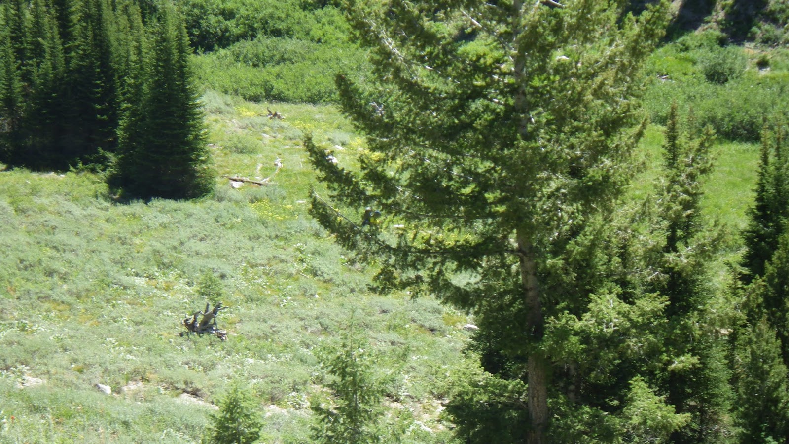
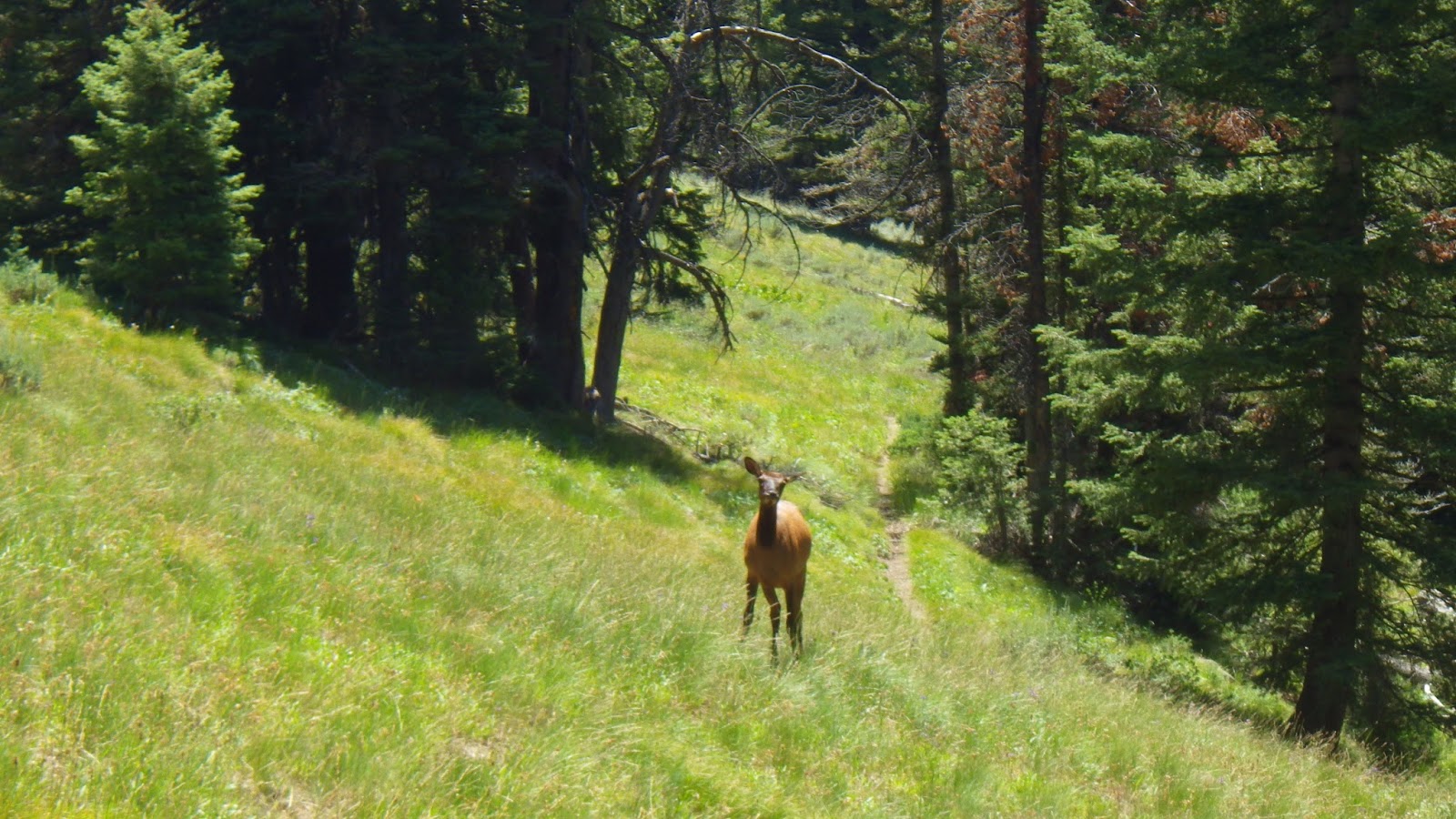
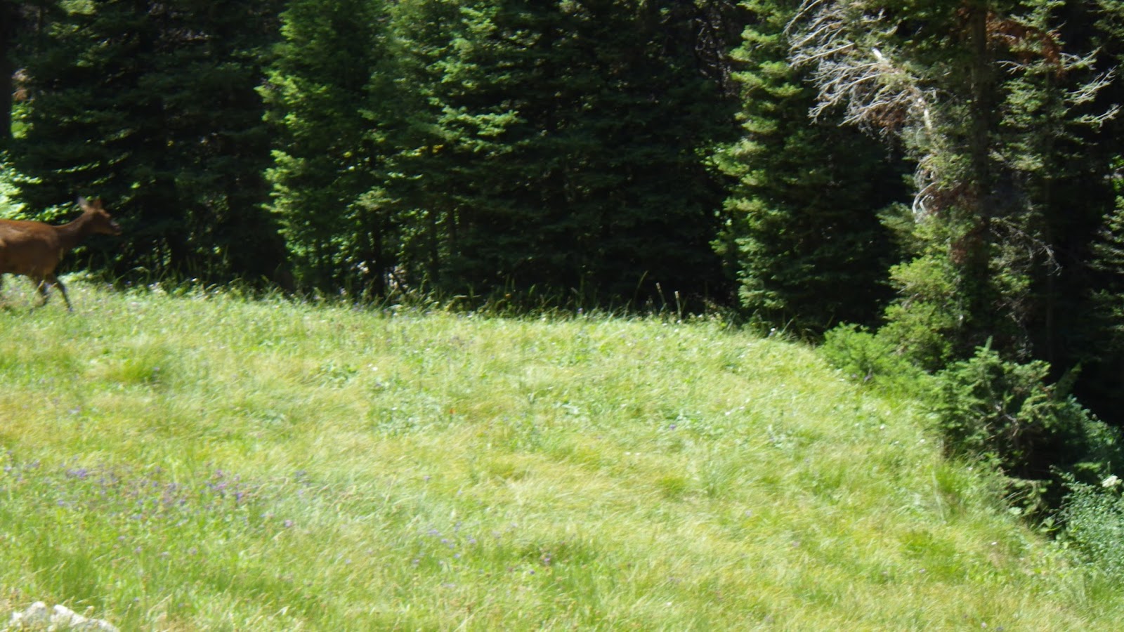
187th floor, Elk Crossing: We both felt the elk before we saw her. There was a thrumming in my chest for a moment, and then the drumbeat of hooves before the cow elk burst from between two trees, running at full speed. I came to a halt and watched, wondering if she was going to run me down. She stopped as well, long enough for me to take a picture, and then she tore off at a right angle and crossed the creek before resuming her lope.
153rd floor, Apagar: We saw another yellow sign affixed to a tree warning campers to put out their fires, in Spanish.
145th floor, First Hour Break: I put my feet up on my pack as we perch in the shade of a few trees on a section of trail that would get us into trouble if a motorcycle decided to come by. I’m laying down on dirt, and I couldn’t be happier to be off of my feet, even though putting them up doesn’t stop the pain.
123rd floor, Express: Next there were some slippery down hill slopes made of rock, and I almost fell down one of them. I had to do the balance dance to keep from embarrassing myself. I made sure to look back and see Ambrose come down the slope safely.
91st floor, Camp Site: Another camp site, complete with hitching post and fire pit, but no warning sign. Also, the second to last trail junction, and I only lost the path for a few steps before crossing the creek.
78th floor, Going Up: Around floor 78, the trail stubbornly began to climb. I could see on the map that this was the way it was supposed to be, but I didn’t like it. I wanted to go down, directly to the lobby, not so high up over the creek that we could hardly hear it anymore.
72nd floor, Second Hour Break: Right before this break we passed our last trail junction and Ambrose ran out of water. We would soon be coming back to cross the stream, if the map was correct, so we weren’t worried. I put my feet up again on my pack and tried to believe that it helped my throbbing feet.
54th floor, Super Express: The trail decided to go straight down for over 200 feet. Okay, not straight down, but really close. Though, for a change of pace, it wasn’t rocks that we had to slip down, but dust. At least the dust allowed me to dig my feet into the trail without worrying about rolling an ankle. As much. We were let off at a stream and stopped to get more water. Ambrose told me he would see me at the Skillern camp site, but I told him I wanted to stick with him, even though there was no chance of losing each other in this instance.
23rd floor, Expectation: It really started to look like we were running out of room to keep going. The canyon appeared to end, and I knew the trail didn’t shift directions significantly, so I started to wonder just how much the altimeter was off in this case. It wasn’t supposed to be off by more than 100 feet, so I was hoping for the maximum.
19th floor, Surprise, it’s the Lobby: The altimeter altitude tracking function was off by 197 feet, and I had never been so glad to see a piece of equipment tell me wrong. The Skillern camp sites were empty and felt like home. I was also glad I wasn’t going to have to use my back-up plan. If the altimeter had dipped below 0 and we still weren’t there, I was going to start aiming for a sub-basement, and pretend we parked in an underground garage.
Ambrose set the tent up so that we could lie down in fly-free comfort for a bit of well-earned rest. I took my boots and socks off and wore my sandals over to the creek and soaked my feet in extremely cold water for two lovely, yet painful, minutes. Then I went back to the tent where we lounged for a bit before it was time to finish setting camp up and doing chores. Ambrose took care of water, and I waited for him to finish and then cooked dinner. We ate in the tent again, because the flies just loved us so much more than we loved them.
A man rode by on a horse, with three pack mules following and gave us a greeting and a wave. The shirtless boys weren’t there anymore, but they’d left their mark behind by way of a hand-made bow and arrow, paracord and tin cans in the fire pits and large heavy stumps moved into Stonehenge-like arrangements. The rest of the evening was quiet, and we went to sleep before dark.
Tuesday July 23rd
With only two and a half miles to go to the car, we slept late. By which I mean, I slept late, and Ambrose got up after 6am. I could have gotten up when he did; I felt him leave the tent, and I had to empty my bladder, but I have a great deal of willpower when it comes to holding it when I’m snuggled up in a nice warm nest of blankets and getting up means work.
But even I was up before 7am. Ambrose made breakfast and we packed up for the last time, our kits considerably lighter now that we were nearly out of food. The snack bag that I had labored to force into my pack top was down to four bars, and Ambrose had only one of his left. But we wouldn’t need that to get back to the car, not on the grits, eggs, bacon, spam and cheese sauce breakfast feast we ate.
Ambrose offered to meet me at the car, but I was feeling a little sick, like I was coming down with a cold, so I said I wanted to stick with him. And I did want to. But just before we started the only major up hill portion of the trail, he had to go dig a hole and I didn’t want to wait. It wasn’t as if either of us would get lost on this trail, after all, so I gave him a kiss and struck off.
By the time I was halfway through the ‘high road’ portion of the trail, I realized that I would need to dig a hole pretty soon myself. But I was less than two miles from a real toilet. Okay, no running water, but it’s a real toilet seat. And there’s an enclosure and a door and everything. I knew I could make it, if I just went as fast as I could and exerted some more of that willpower.
I walked fast until I reached the one mile point. Then I let myself run/walk. I took down hills at a jog, and kept the jog up as much as I could before going back to a fast walk. I was within 50 yards of the toilet when I heard a gallumphing noise and a splash. I looked across the river and saw a deer had objected to my presence on the trail and hurriedly crossed to the other side. I wanted to get my camera out, but I wanted to make it more, so I headed on and, with great joy, entered the bathroom wearing my pack – just in case the toilet paper was out, I could use my own.
It took me 17 minutes to do the last mile – not a fast time for running, but a great time for backpacking. And just in time for my desire not to dig another hole. Ambrose showed up about fifteen minute later, after I had gone to the water pump and filled up a jug and a quart bottle of water. Then we drove off.
We stopped at the side of the road where a tiny hot spring lives, just big enough for two people who are comfortable with each other, and began the long process of washing off the accumulated grime (I still had dirt in my skin two days later, after three showers). We put the cotton clothes that had been waiting in the car on, and set our minds on the return to civilization.
One Reply to “Tale of the Trail: Snowslide Lakes”