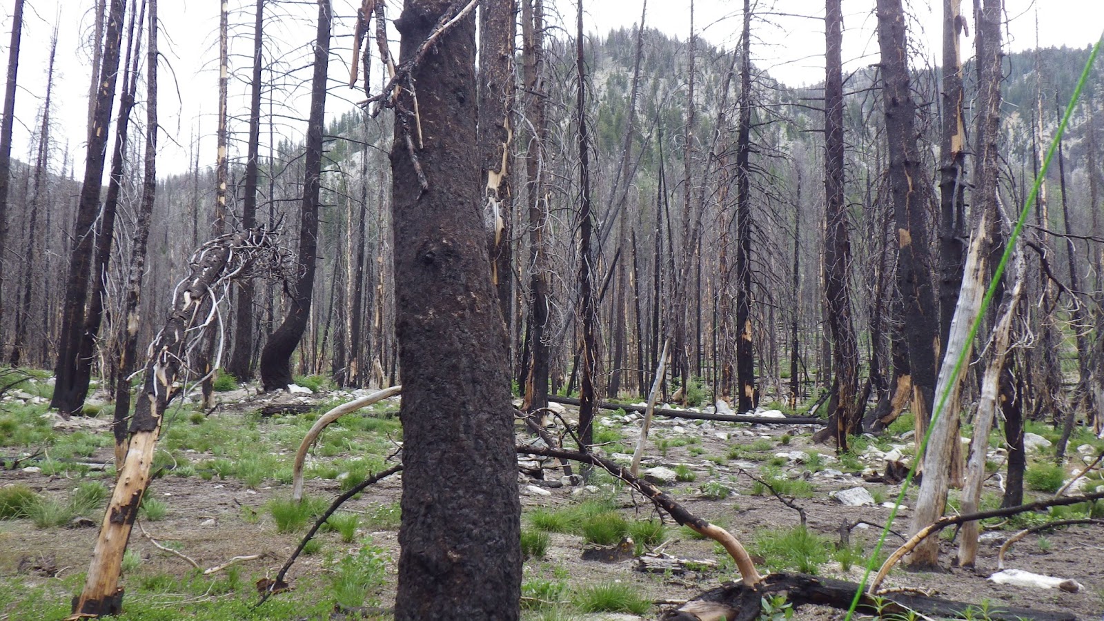
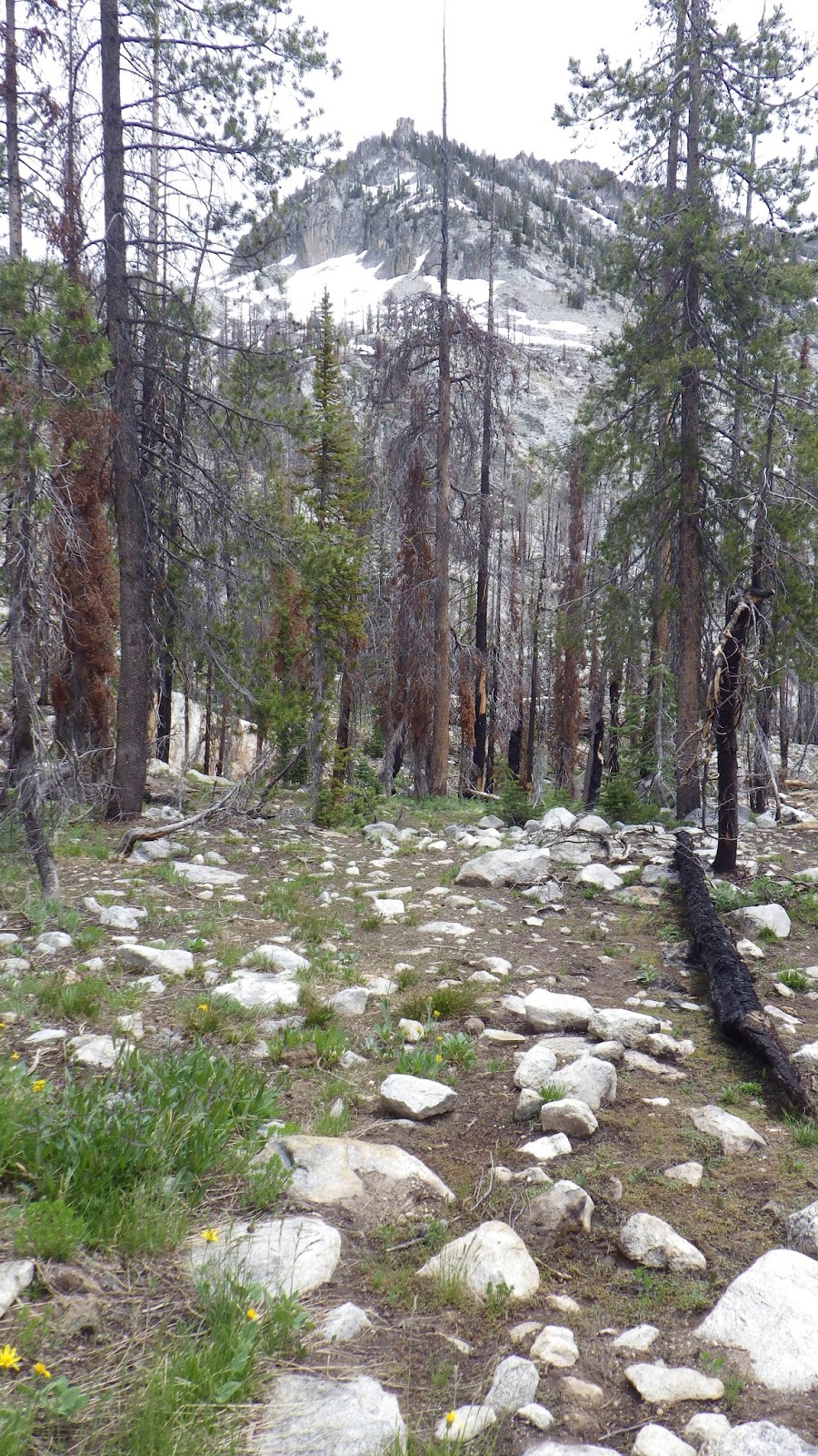
We slept late, letting the sun come up over the surrounding mountains. There was no hurry to begin the day. The plan was to day hike up towards Scenic Lake, with a 2:30 p.m. turn around time. We decided on a turn around time rather than pushing on for the destination because the hike out had been more challenging than expected.
 |
| Good morning from inside the tent. |
We had a leisurely breakfast of dessert (mocha moose pie) and then started getting dressed and ready to go. The sun eased its way up, but it wasn’t sunny out. Instead, the day became brighter under a steady cover of white clouds. There was supposed to be a 20% chance of rain for today. I wasn’t worried about rain in and of itself, but when Ambrose mentioned that rain would swell our stream crossings, I felt a flutter of nerves.
I was being so devoted to taking my time that Ambrose got impatient, asking me if I planned on going at all. Just because I was sitting on a log reading my Kindle while I put my gaiters on, geez. It’s called multi-tasking.
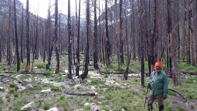 |
| Ambrose is ready to go. |
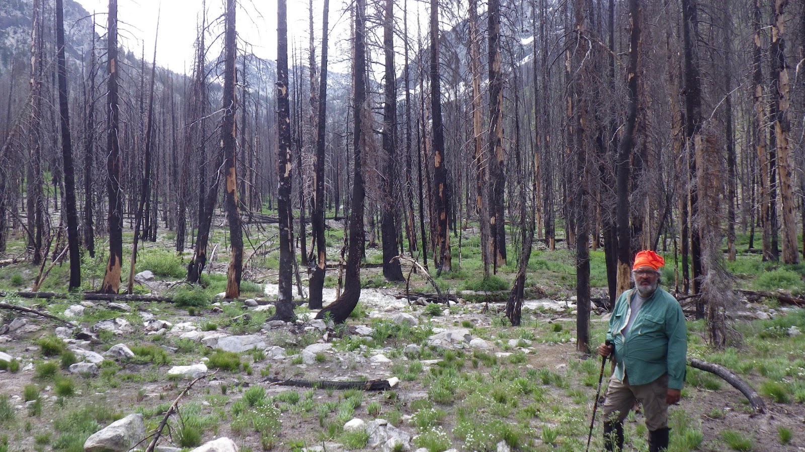
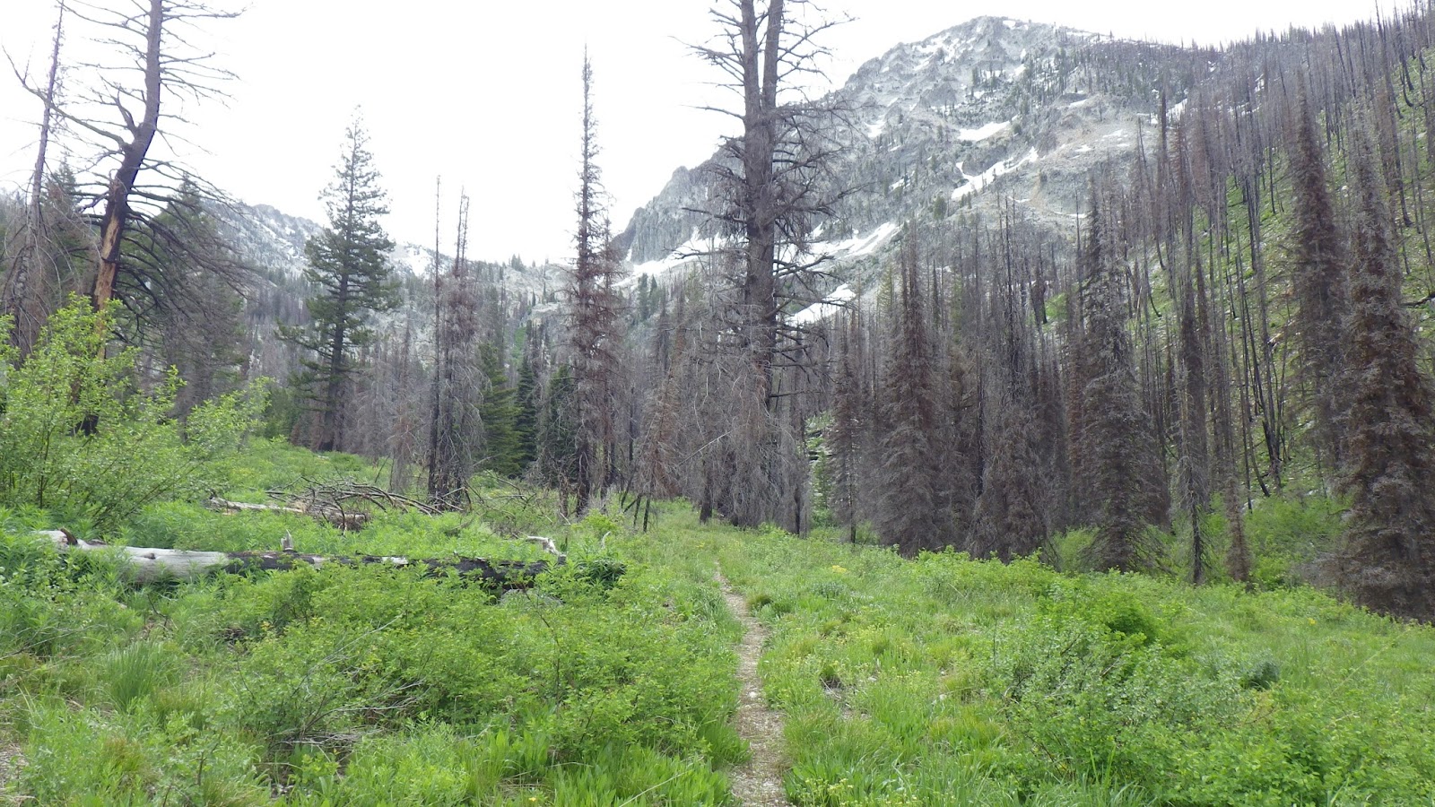
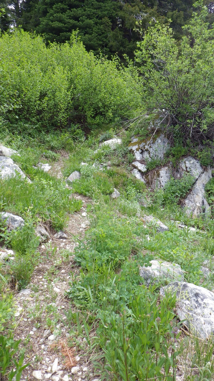
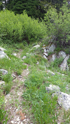
We started out, with me in the lead. I was testing out a project that I had completed the week before on this trip. Not so much on the familiar trail to the campsite, but now that we were in new territory it was time to see how useful it was.
Out of a birdseed bag and some string, with the help of a sewing awl, I had made a map case for myself. Now, I was still putting my maps into a plastic gallon bag, for water protection, but I had found that I had an issue with actually pulling my maps out to read them, because I’d stow them in my pack. With my solo trip coming up in August on trails I’d never traversed, I wanted a way to keep my maps to hand so that I could be sure of my position on that trek.
My first solution is this bag, which is, essentially, an envelope with a strap. The strap is long enough to go around me and my pack, if necessary. Since I was lightly loaded for the day hike, it was longer than I needed it to be, but the extra length wasn’t cumbersome.
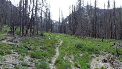 |
| Heading up to Scenic Lake. |
I hadn’t used it very much on the first day, because I was sticking with Ambrose and a bit worried about him. So this day hike was my first chance to really figure out how the map case would work.
I carried my pack as a day pack; Ambrose had only a trekking pole and whatever snacks and odds and ends he could fit in his pockets. This meant that he was not carrying water. I was conscious of my status as water bearer for the both of us throughout the hike. As per usual on unexplored trails, we were planning on staying close. The addition of the water situation would help me keep from getting too far ahead.
 |
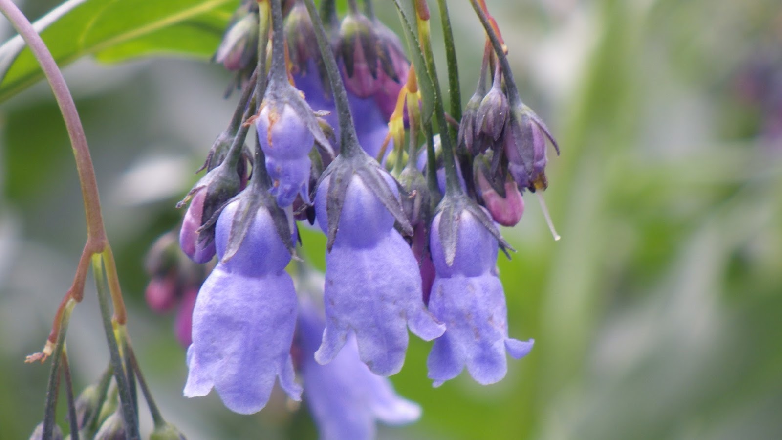
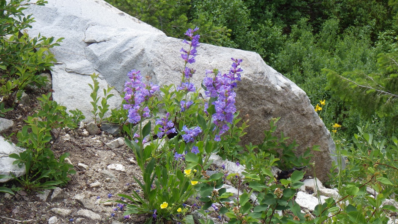
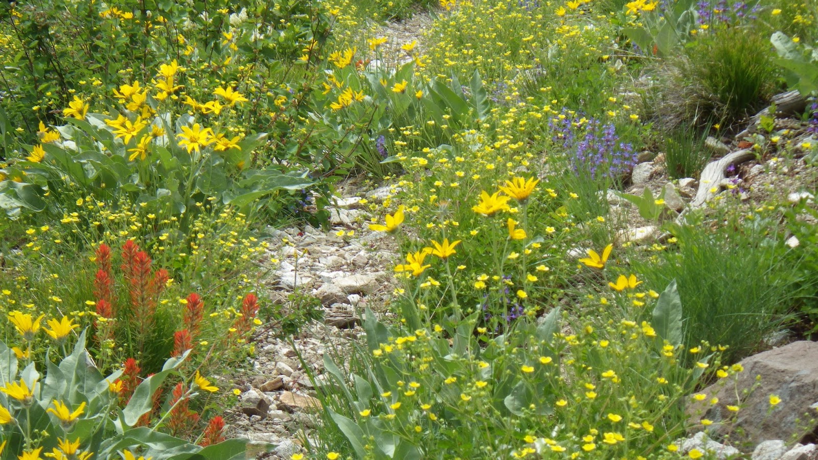
| Bluebells |
At one of my first stops, I took some pictures of flowers and then pulled out my map. We weren’t far up the trail yet, so I wasn’t planning on anything serious, but when Ambrose caught up to me he insisted that I figure out our position on the map with my compass.
I was impatient. We hadn’t been walking for twenty minutes, we had a set turnaround time looming ahead of us, and he wanted to stop and, in my mind, waste precious hiking time. I know that it isn’t really a waste to practice my map and compass skills, but it felt like it in the moment.
 |
| How far could we make it, if we kept stopping? |
I was satisfied that I had determined on our position on the map based on knowing we were on a particular trail and getting a good angle to one of the ridges, but Ambrose wanted me to get another point. I tried to shoot a bearing, but it didn’t seem right when I lined it up on the map. I could see that the feature was to the left of the trail, but the bearing put it on the right. I was frustrated and finally just told Ambrose that it didn’t make sense. He didn’t seem satisfied with that answer, but we got moving again.
 |
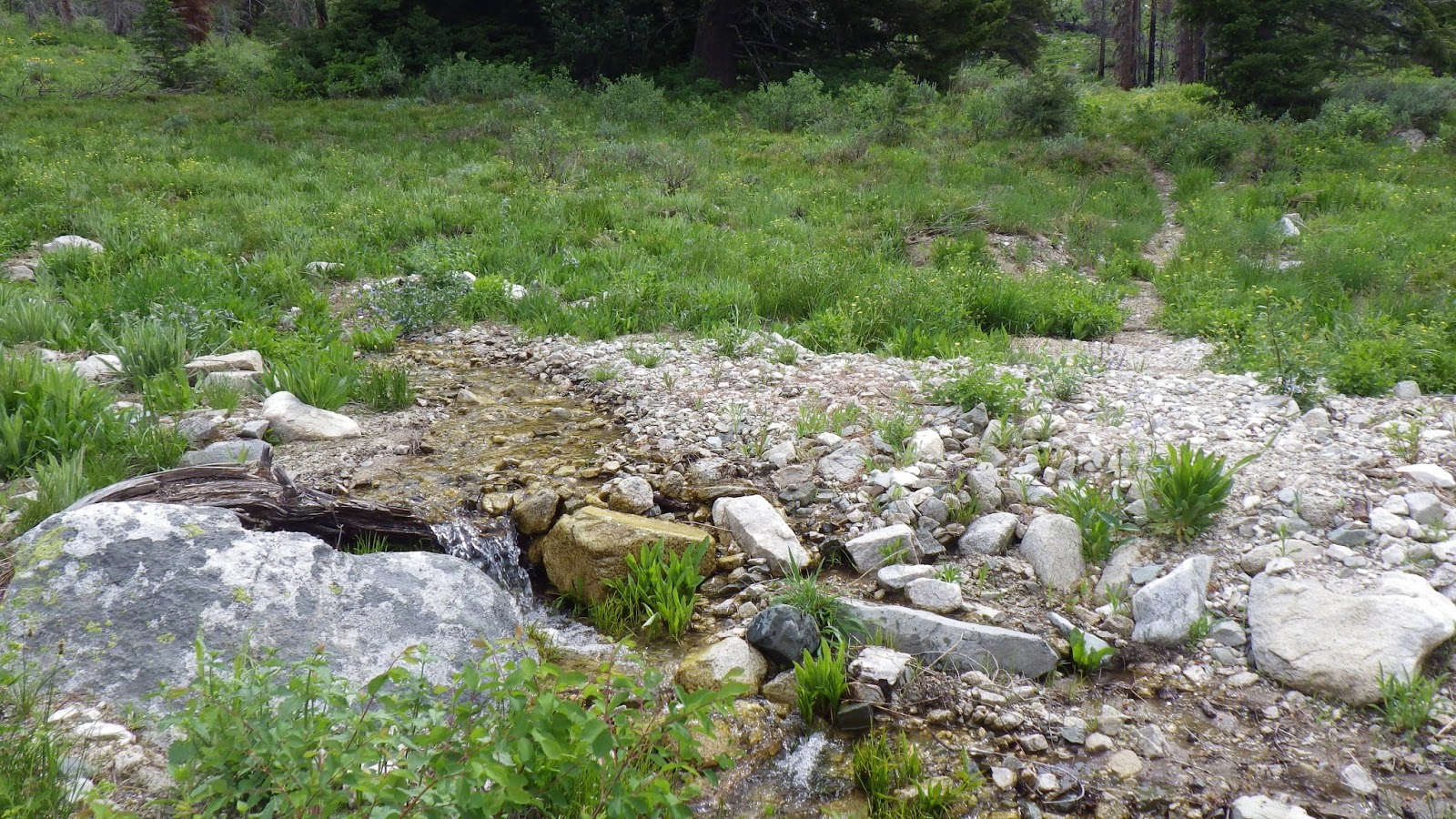
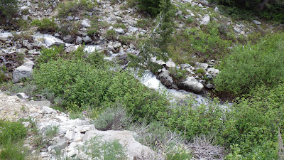
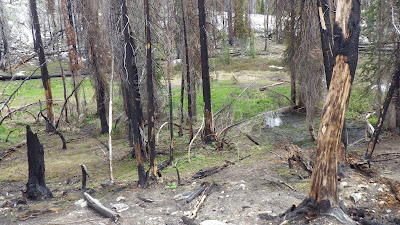
| Rock hop stream crossing with tiny waterfall. |
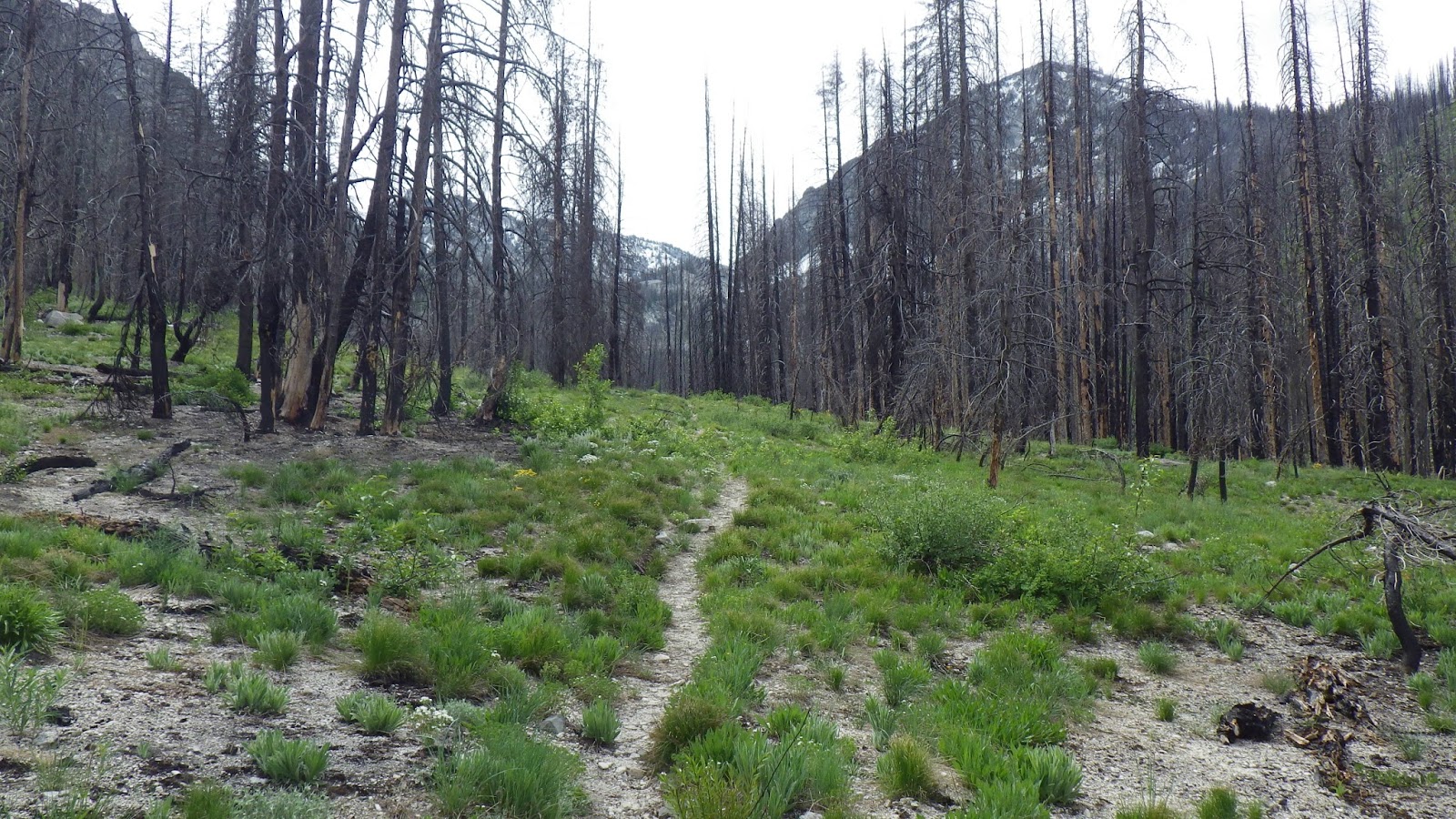
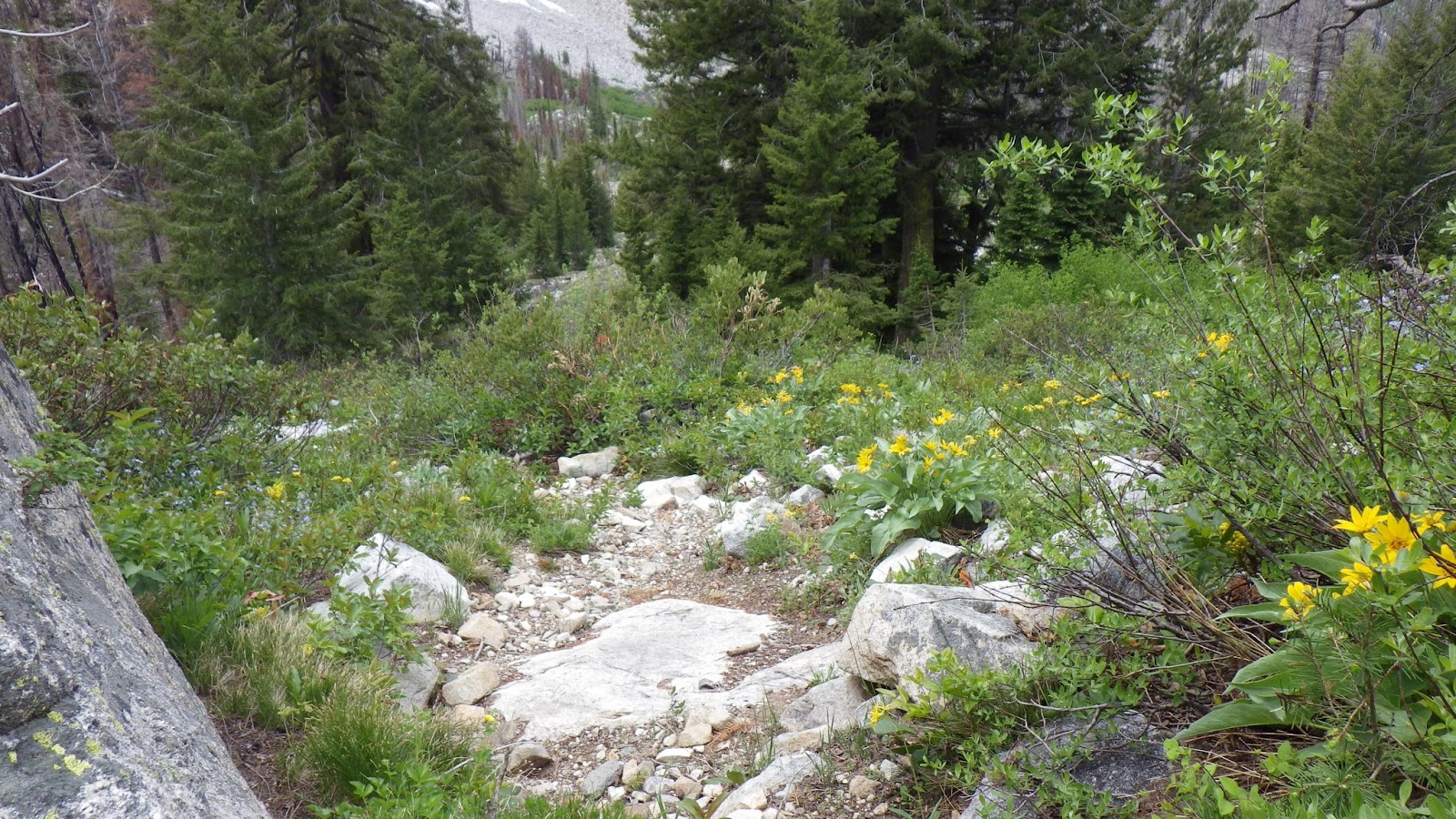
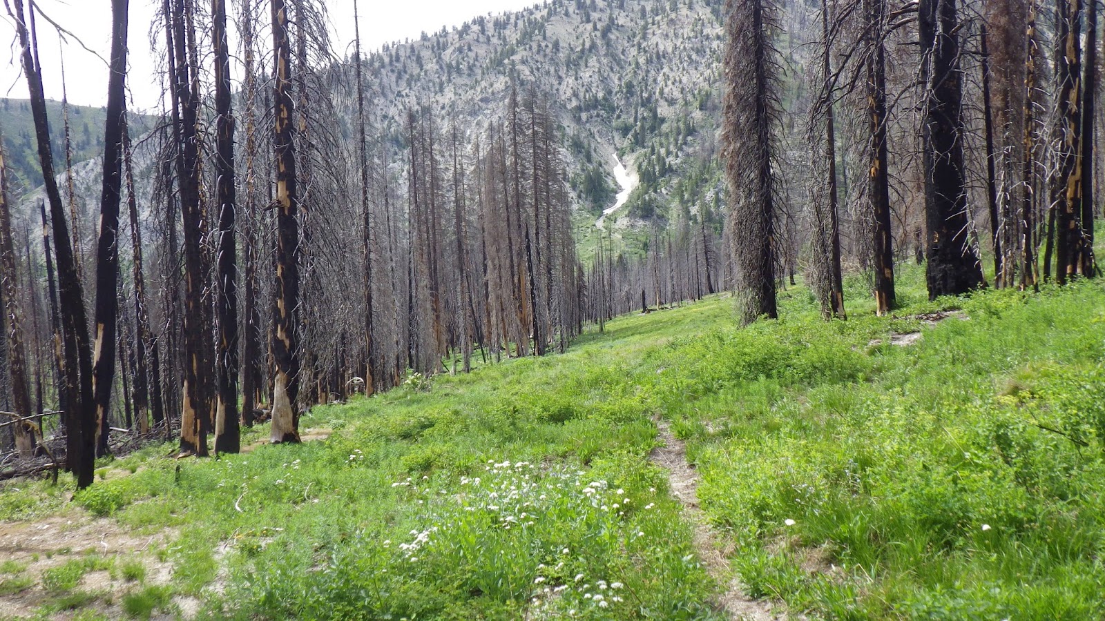
I knew from studying the map that we had a nice gentle uphill for a good amount of time, followed by some steep switchbacks.The valley we walked into narrowed slowly, and I paused to give Ambrose a drink.
 |
| Pretty flowers and a switchback turn. |
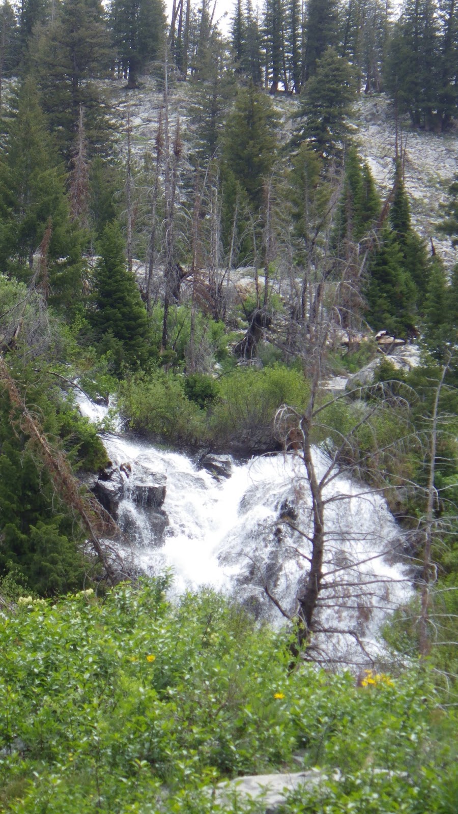
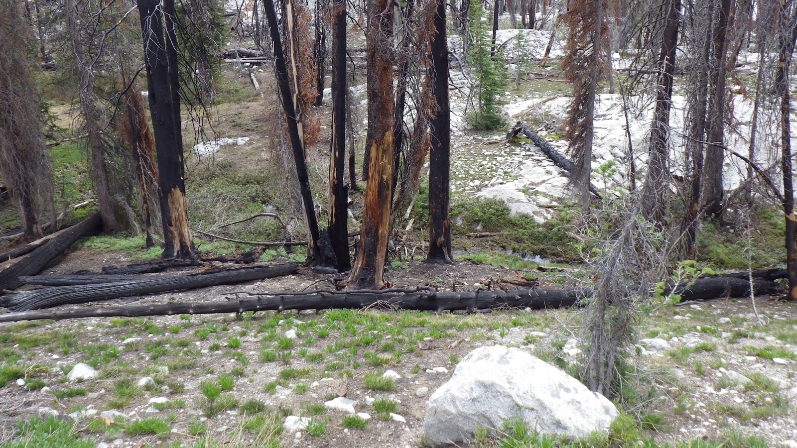
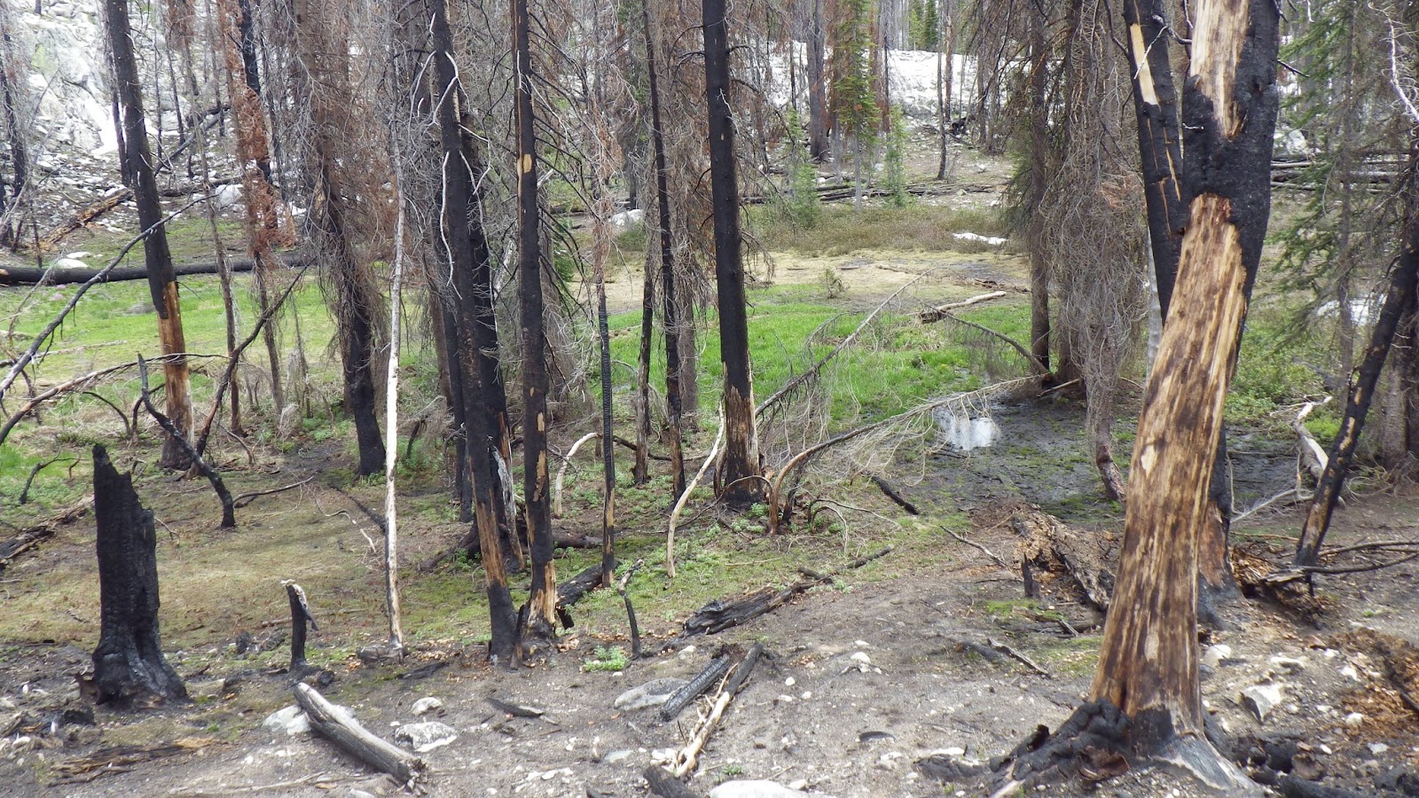
The trail ambled its way closer and closer to the stream coming down from Scenic Lake. The map labeled the area near the switchback as “Falls” on Scenic Creek. As we approached the first set of switchbacks, I could hear the roar of the water, but there wasn’t much to see or admire, because old, dead, brown branches covered most of the water.
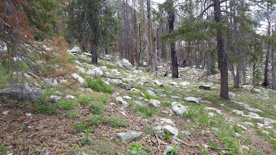
The first set of switchbacks were fairly standard for their kind. We would zig away on a modest incline and then zag back, never getting too steep.
 |
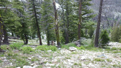
| Not yet at the top, but still quite a view. |
I paused each time I got back towards Scenic Creek to let Ambrose catch up to his water bearer and take in the view. I could have gone faster, especially with such a light pack, but taking it slowly provides more opportunities to take in the scenery, and more time to think.
 |
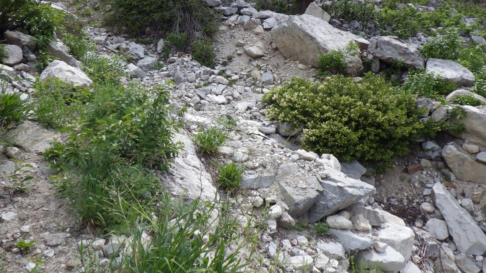
| An old stormflow had taken out part of the trail, but it was fixed enough to get across. |
 |
| Scenic Falls |
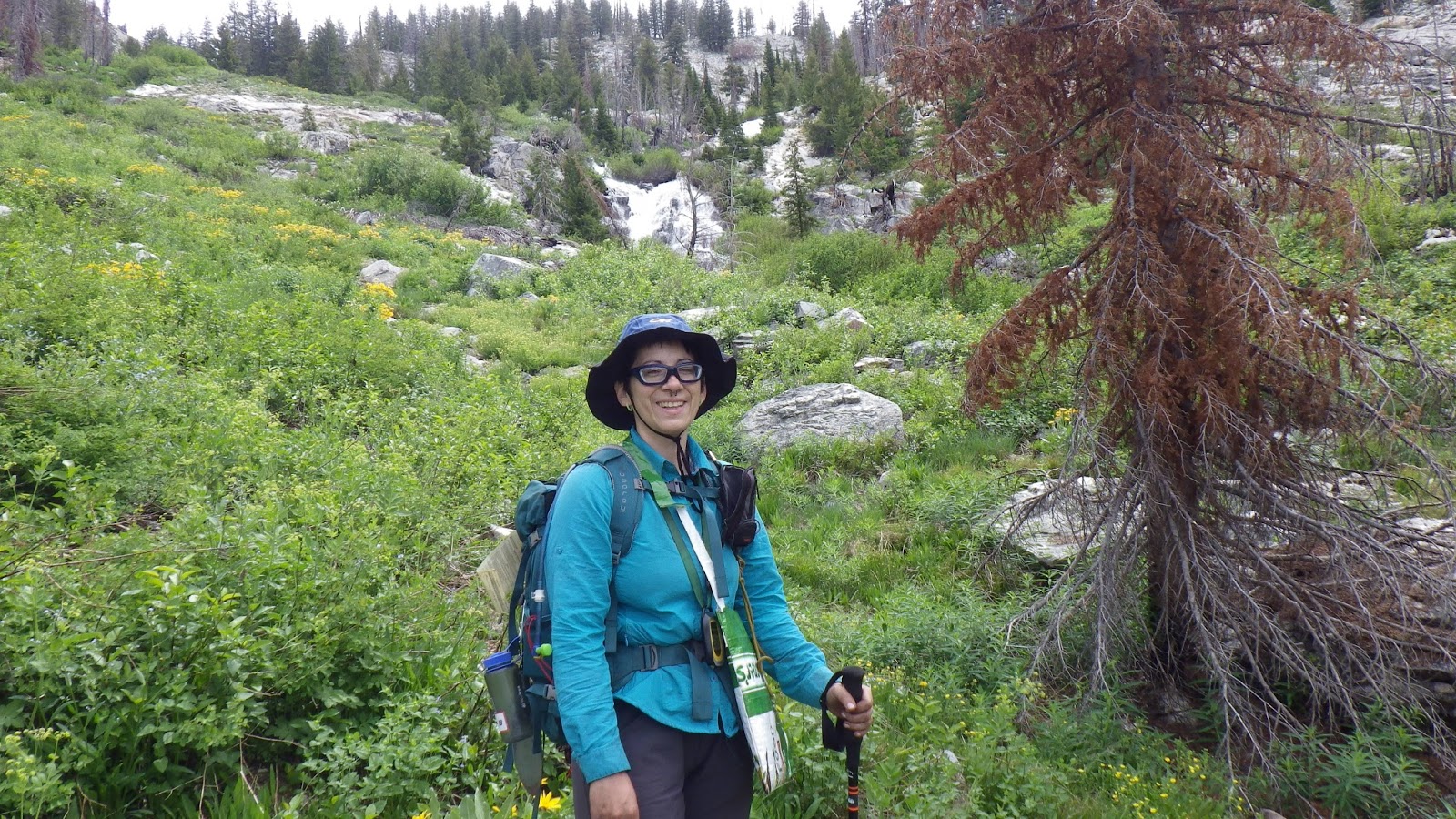
 |
| Ambrose took a picture of me below the falls. |
The map case did its job. I took out the map far more often than I usually did, and was able to keep track of where we were on the trail. When we came to a flatter place on the trail, I knew it was just a little break before the second set of switchbacks, so I didn’t get too excited about the “break.” We came to a stream crossing that looked a bit iffy, but turned out to be crossable without taking off our boots. Which was a good thing, because we agreed that boots off was more than we wanted to do on this jaunt.
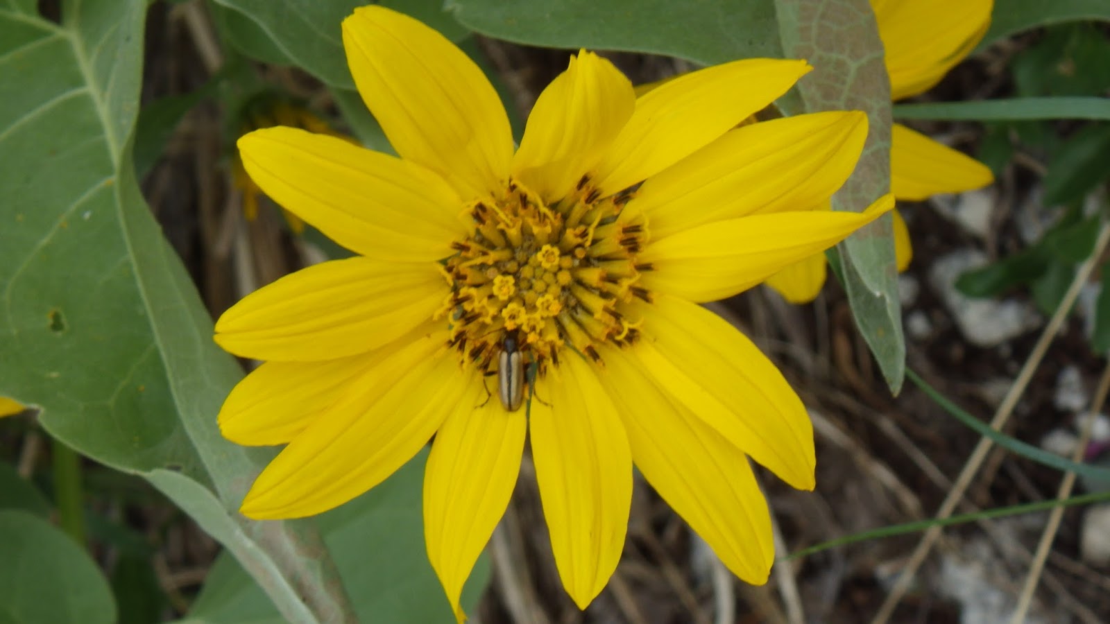
 |
| Flower and bug. |
 |
| The stream crossing and the trail around it. |
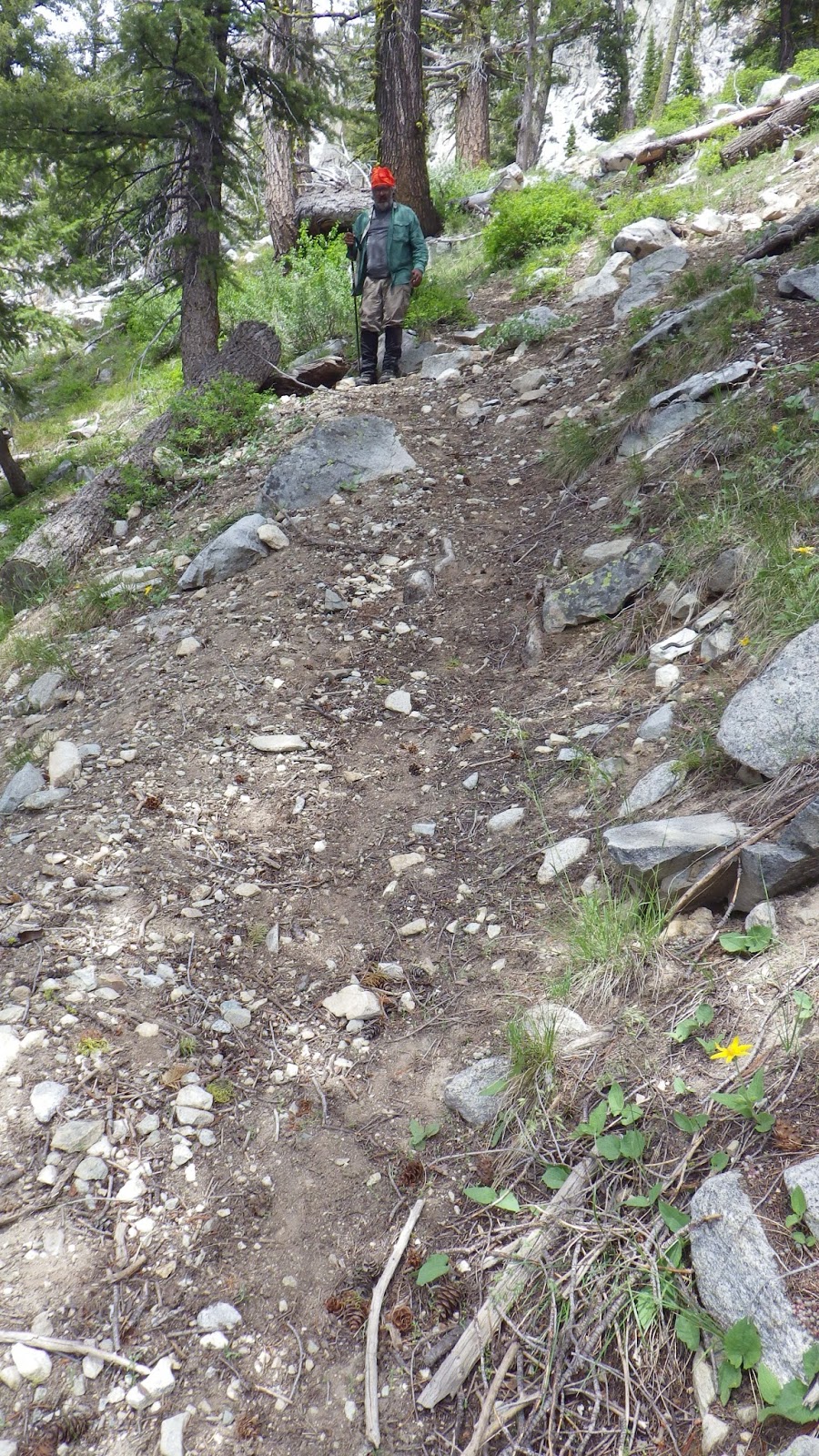
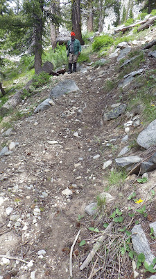
And, sure enough, after the stream crossing, the trail got a little steeper. But the real show was just starting. The trail began to lead us on what I called a high-speed rock’n’roll ride. It went up. Steeper than stairs, even than the steep stairs at my old office building. Up, on rocks, up over roots, up and up and up.
 |
| Time to go up. |
 |
| Ambrose is down there, just about in the middle of the picture, the orange dot of his buff is visible. |
I loved it. My body also loved the fact that I had to rest up and wait for Ambrose, because that was a hard climb. I’d go up until I found a nice rock to sit or lean against and then I’d wait for him to catch up, get him a sip of water and some words of encouragement. And then I’d bound off up the trail. I felt a bit rude for doing it that way, going up so fast and spry, while he trudged behind. But I was rested by the time he caught up and ready to get moving again.
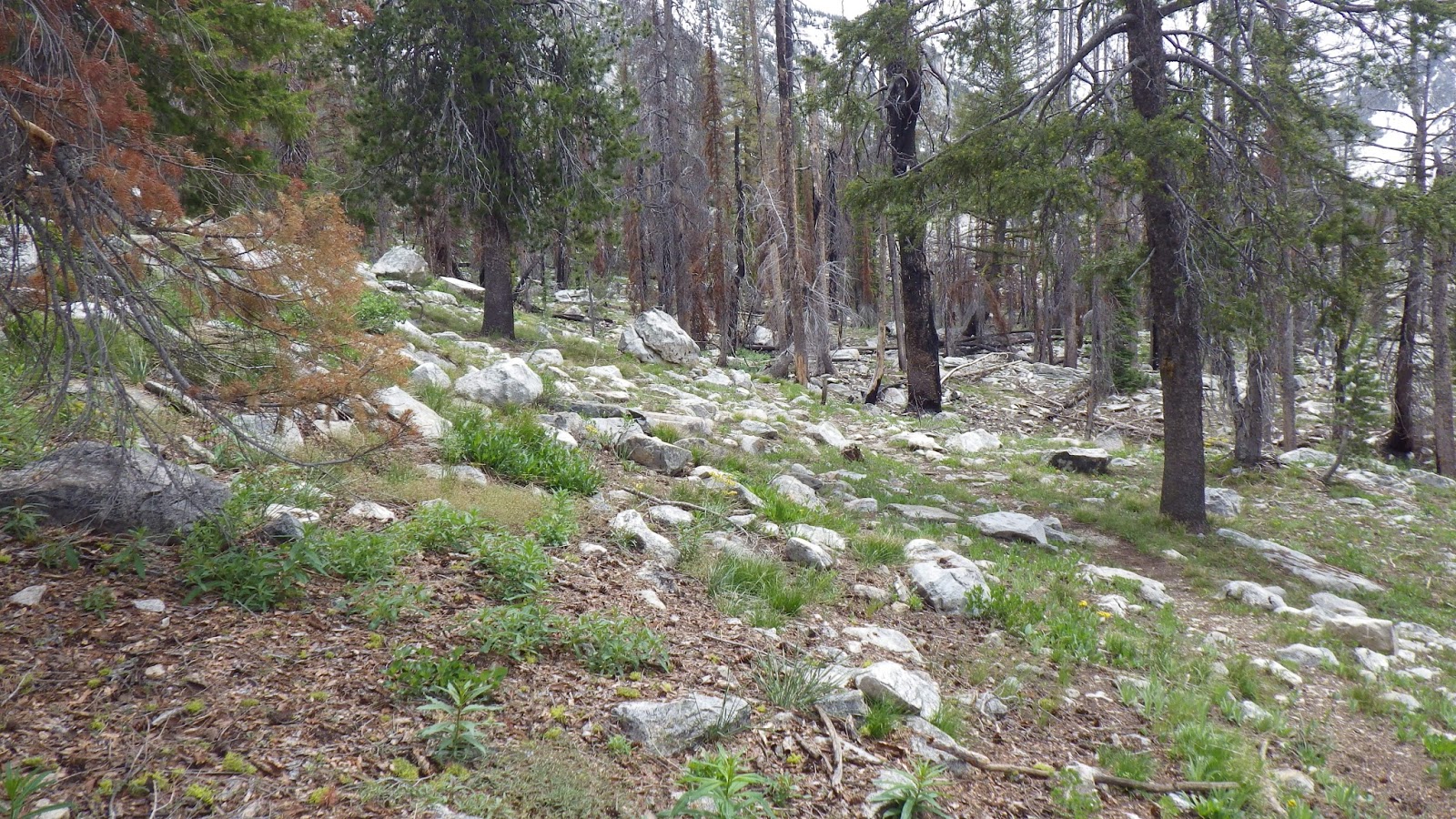
It wasn’t far to the top of those switchbacks, but it was quite an elevation gain, over 400 feet in less than a quarter mile. I figured out the next direction on the trail while I waited for Ambrose.
 |
| Top of the switchback. |
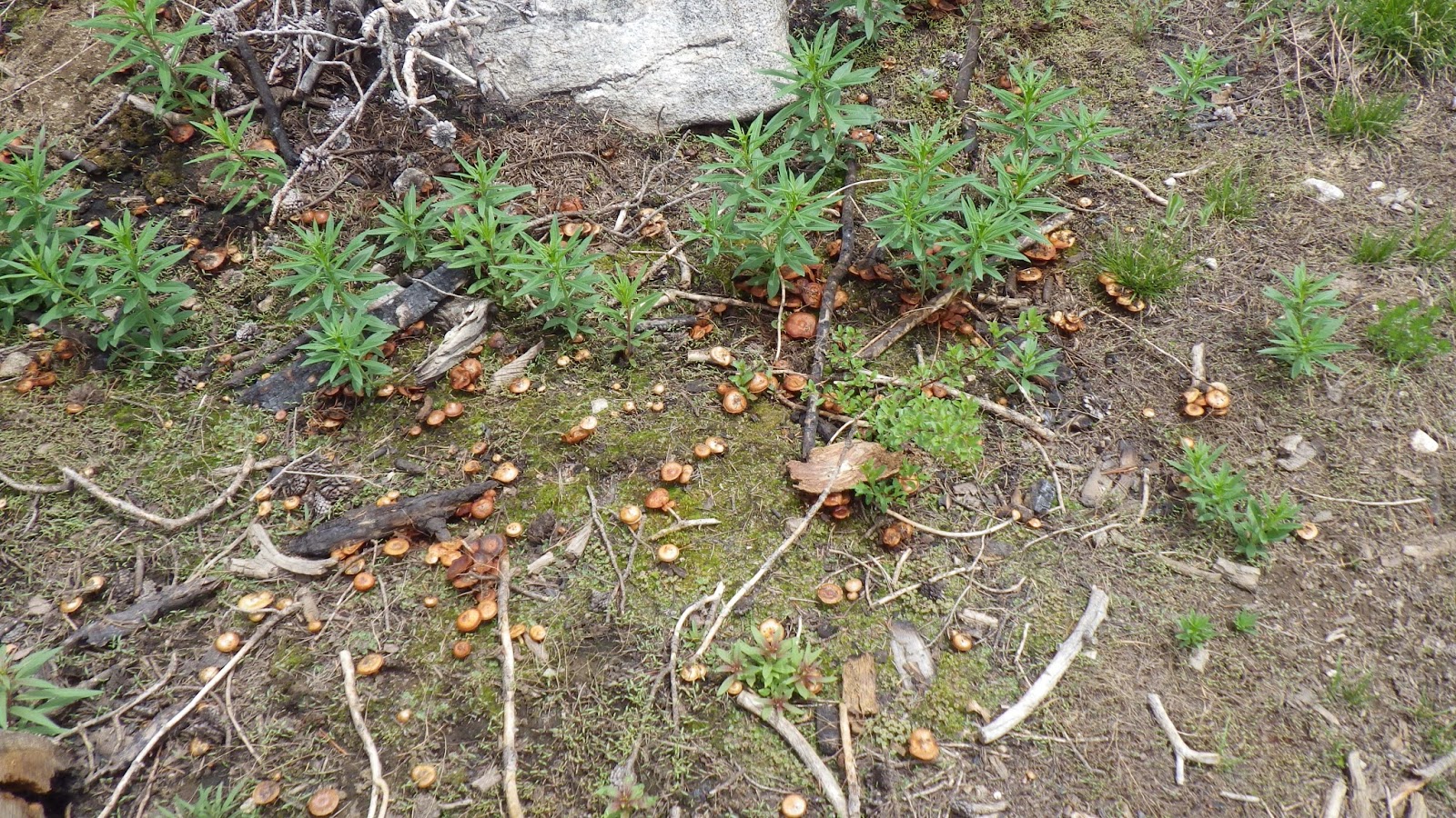
The trail wasn’t too hard to follow, but I had to be careful not to get distracted by the rocky nature of the terrain. Mushrooms grew in profuse clusters, but as hard as we looked we didn’t see any morels.
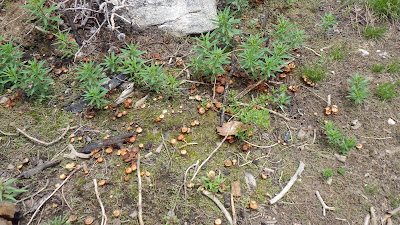 |
| Much mushrooms! |
Ambrose decided he didn’t want to go on any farther, but I protested and convinced him to keep going until we reached my provisional goal of the unnamed tarn. It wasn’t far from the top of the switchbacks, after all. So he came along and then, just before we spotted some snow on the trail ahead, 2 p.m. rolled around and my alarm went off. Because I’d set it for 2 instead of 2:30 as I’d meant to. I thought it was time to stop, even though it wasn’t.
 |
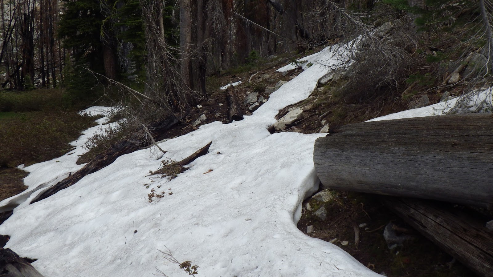
| Snow off the trail. |
 |
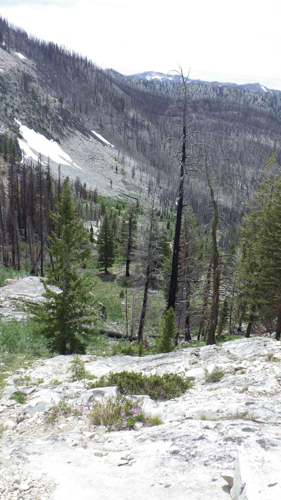
| The high point in this picture is the feature I tried to shoot a bearing to from lower on the trail, when the reading just didn’t make sense. |
And this time he put his foot down. Even when I explained that it wasn’t yet time to turn around for real, he insisted that it was time for him to stop. But I could go on, if I wanted, for another half hour of exploring. I knew I wouldn’t make Scenic Lake in that time, but I still took the opportunity.
 |
| Snow on the trail! |
 |
| Snow was recently on this trail. |
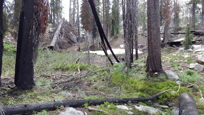
Unfortunately, I had to answer a call of nature about 2 minutes into my excursion. That cut into my time considerably. Still, I made the best of it. I jaunted on, hoping to get maybe a glimpse of the lake. But then I lost the trail.
 |
| Getting farther up the trail. |
 |
| Where did the trail go? |
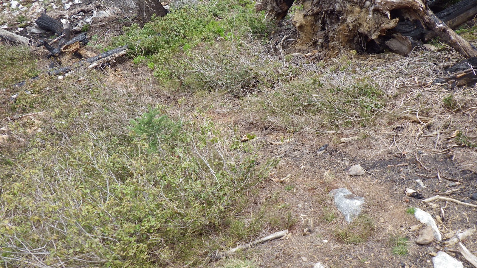
I scouted around, but I didn’t dare take too much time looking for it. By the map, I figured that the trail went around the boggy area where I lost it and then up the other side. No time to find out for sure, but I’ll try it out next time, when I can drag Ambrose along with me for safety.
 |
| Going down… |
 |
| This is one steep trail. |
I turned back and rejoined my husband, who had been waiting patiently with a great view. And we turned back, soon coming to the steep switchbacks. They seemed a bit easier going down than they had up, but still weren’t easy, because the rocks tended to roll under your boots and the dirt acted like ball bearings.
 |
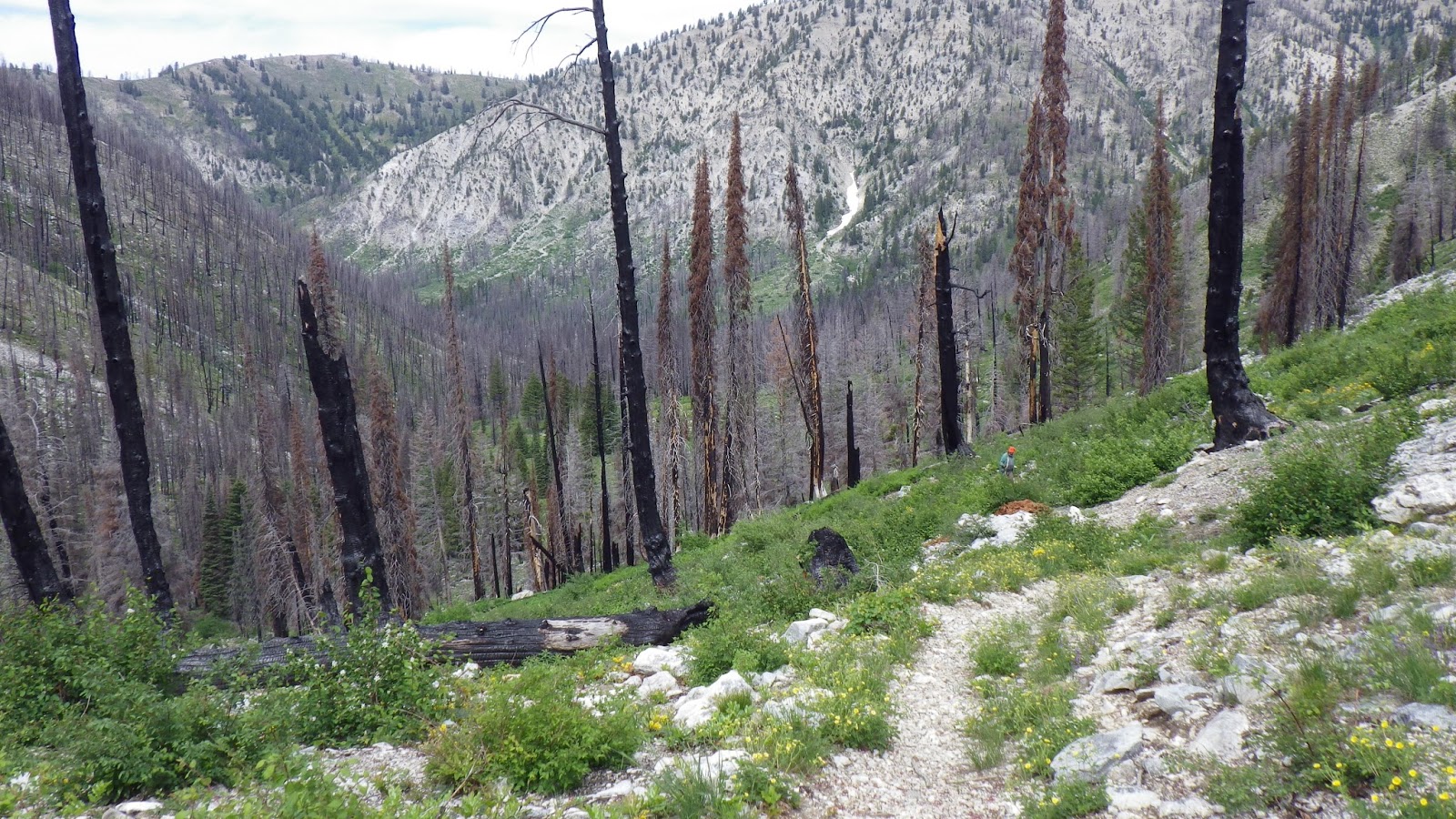
| The view back down the valley. |
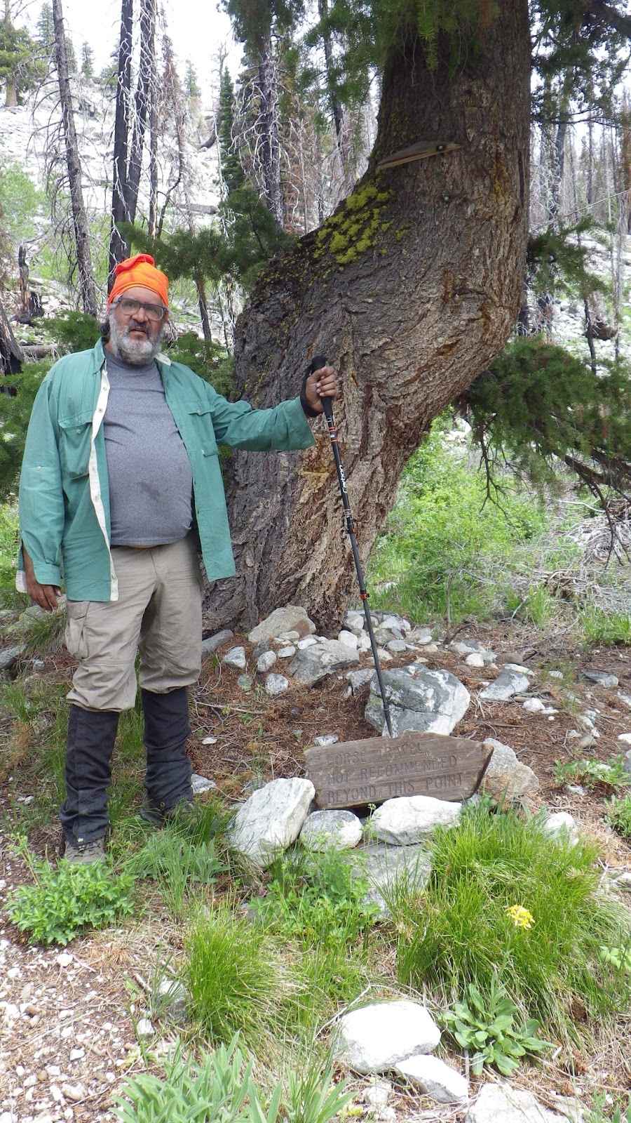
Now, Ambrose had read before that this particular trail was counter indicated for horses, being too steep and narrow. He’d even read that there was a sign about it. But we had seen no such sign on our way up. How we both managed to miss it is beyond me, but I spotted it on the way down.
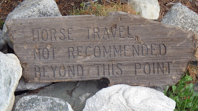 |
| Well, the sign was on the ground. |
 |
| But I still don’t know how we missed it. |
Going downhill, off the steepest of switchbacks, it was easier for Ambrose to keep up with me. Easier for me not to speed ahead of him, too. We walked closer together than on the way up.
 |
| Flower season. |
I did get a little irritated at Ambrose when he ate a mint taffy and then took a drink from my water bladder. It left a yucky residue of mint on the hose, and I protested.
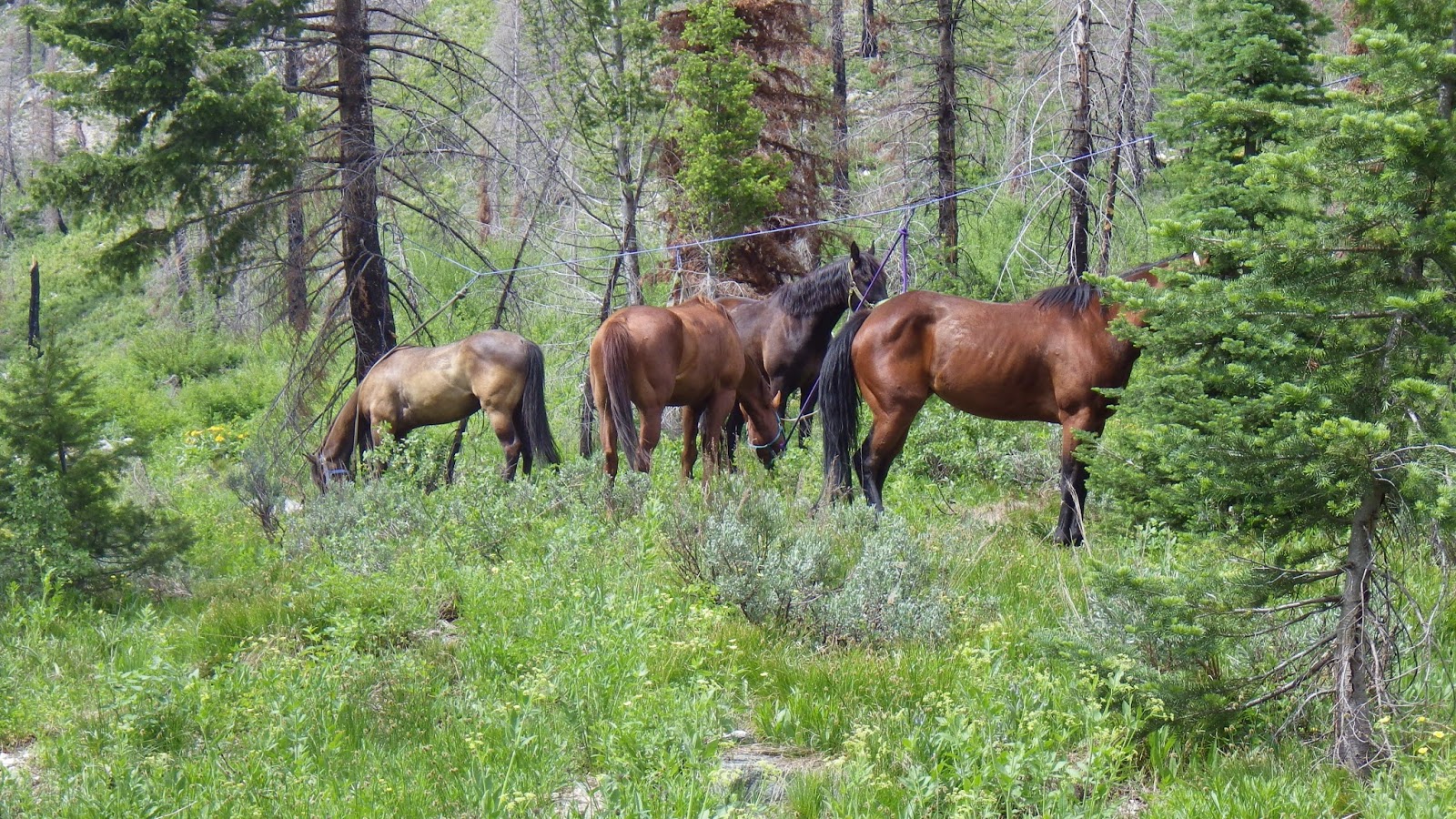
After we were off the not-so-steep switchbacks, we spotted motion ahead. A large animal! No, two, no, more!
And then we caught the scent, and got a better look. Horses were ahead.
 |
| Horses, but not wild ones. |
We saw four horses tied up to a rope strung between trees, and as we passed closer I saw a pile of tack nearby. But we saw no people, nor heard any. Ambrose thinks they might have been napping in the trees where we couldn’t see them from the trail, but I thought they had gone down towards Scenic Creek, maybe to try fishing. Either way, we didn’t see the horse owners, but kept on hiking.
 |
| Almost back to camp. |
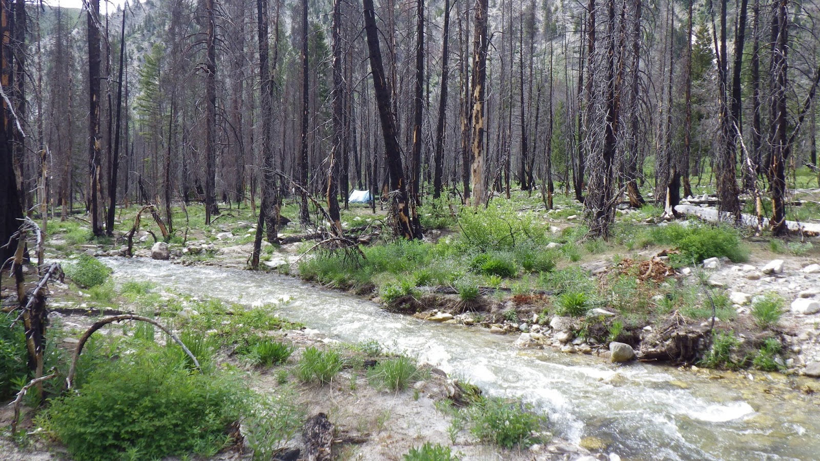
We passed by the place where we camped last year, when other people occupied the spot we took this year. And then we were back at camp, ready to relax for a little bit before it was time to cook dinner and tend to other camp chores.
 |
| There’s our tent, safe and sound. |
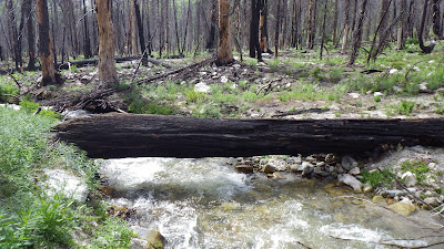 |
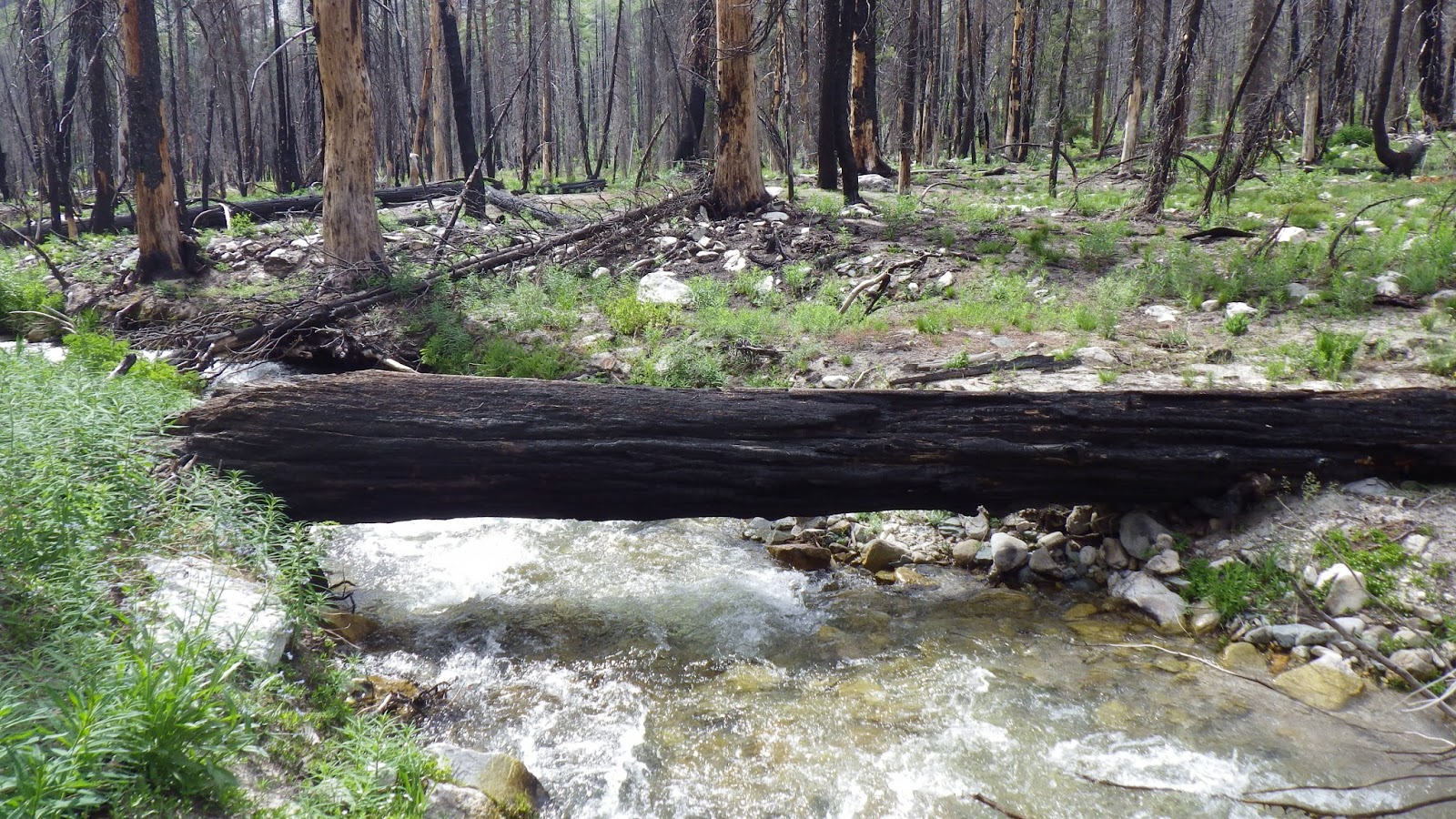
| The crossing log. I let Ambrose use both the trekking poles to cross. I didn’t use any, because it’s wide enough for me to walk across comfortably. |