I didn’t have any alarms set for the morning to wake me up. Even though I did plan on hiking, I wasn’t committed to a specific time or schedule. I’d head out in the morning and come back when I came back. Very loose, very casual. Not at all what I would normally be doing. My hiking tends to be very regimented, with start times and plans. Not this time.
I ate a bar for breakfast while getting dressed and then got ready to head out on the trail, without Ambrose. We found out yesterday that Ambrose forgot his dirty water bag. I was taking my dirty water bag with me, because I didn’t know how long I was going to be. Ambrose had an emergency backup plan for getting water by using his bladder as a dirty water bag, and he wouldn’t be needing to drink as much staying at camp. We did make sure that his water was topped up.
Since I wasn’t acting like I was in a hurry, Ambrose actually asked me if I was planning to go. The time was getting close to 10 am, and I definitely wanted to be back in time for dinner. This was to be a day hike, after all.
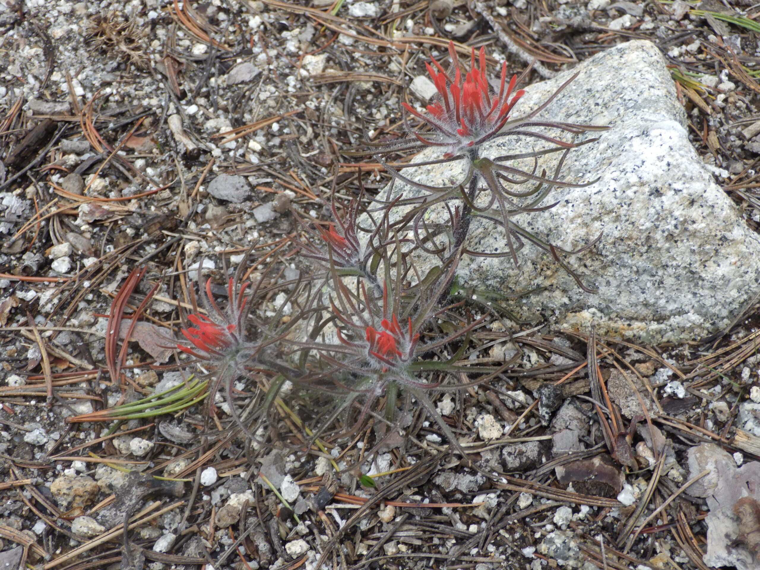
Now, I wasn’t sure that I was actually going to make it to Blackmare Lake. I’ve never gone there by myself before, and the route is a bit tricky. Plus, there might still be enough snow on the ground to take the route from ‘tricky’ to ‘dangerous.’ Still, I was going to see how far I could get. And I was going to give my new waterproof socks a thorough test.
With a trip to the Washington Coast coming up, I was at a loss for what to do about my boots. I’ve had the dilemma for nearly a year, once I realized how badly the Softstar Switchback boots do when they got wet. But I couldn’t find another pair of boots that fit me as well as those do, so I bought waterproof socks. And now, I was about to walk through a creek and see how well they worked.
Ambrose walked with me down to the stream crossing. The walk wasn’t long; maybe a quarter mile round trip for him. While there was a very large log down across the creek that could have been used for a crossing, I was here to get my feet wet. I knew without a doubt that I’d have to get them wet hiking along the ocean, so I had to know if this would work or if I needed to figure out something else.
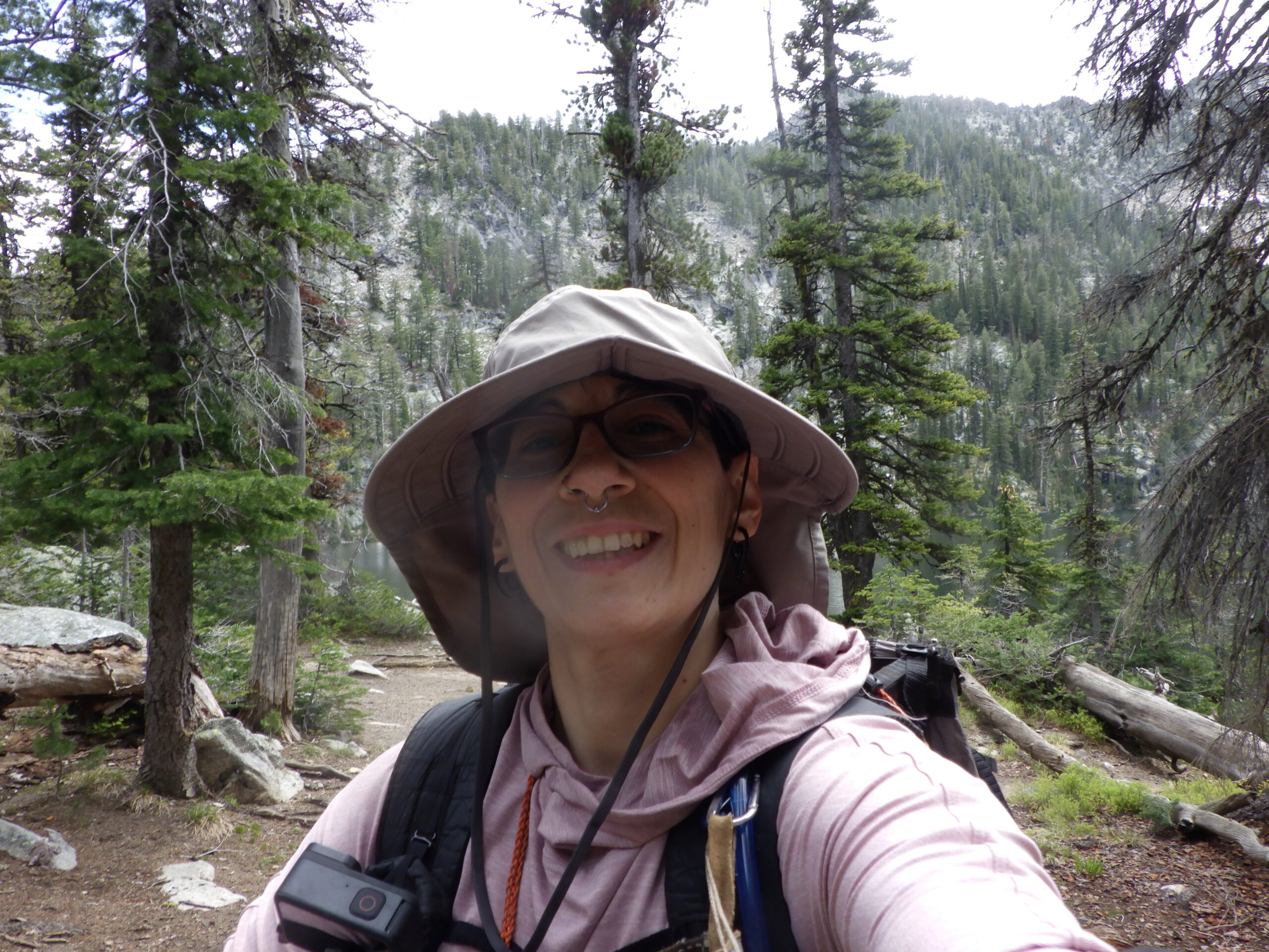
I had my day pack stocked with water, food, and the ten essentials. I was ready to explore and find out how the “No Trail” to Blackmare Lake was doing. All I had to do now was walk right into that cold creek water and hope that the waterproofing was no joke. The weather was chilly enough that I really didn’t want my feet wet. I was wearing my raincoat for warmth and wind protection, but wet feet gets you cold fast.
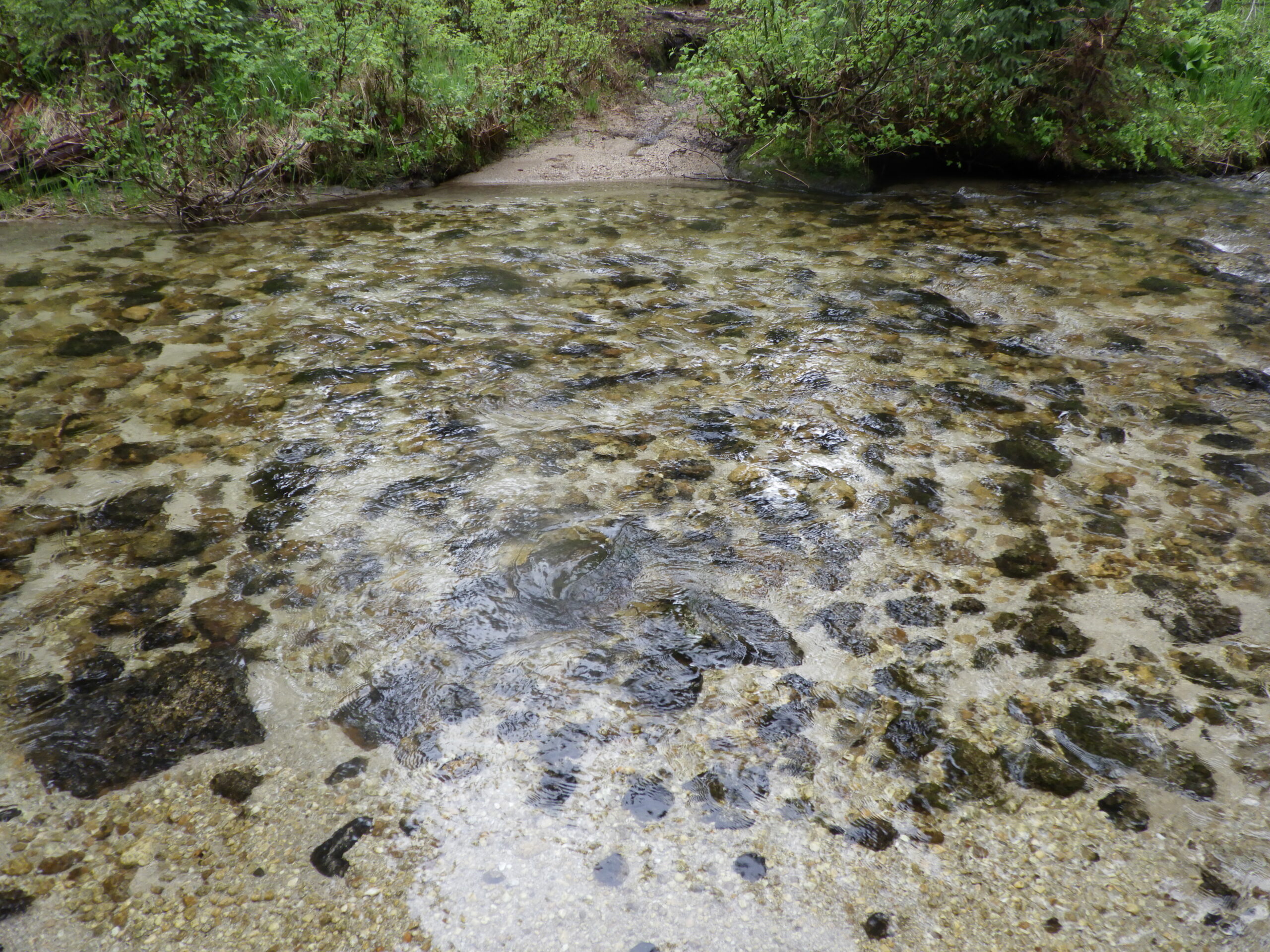
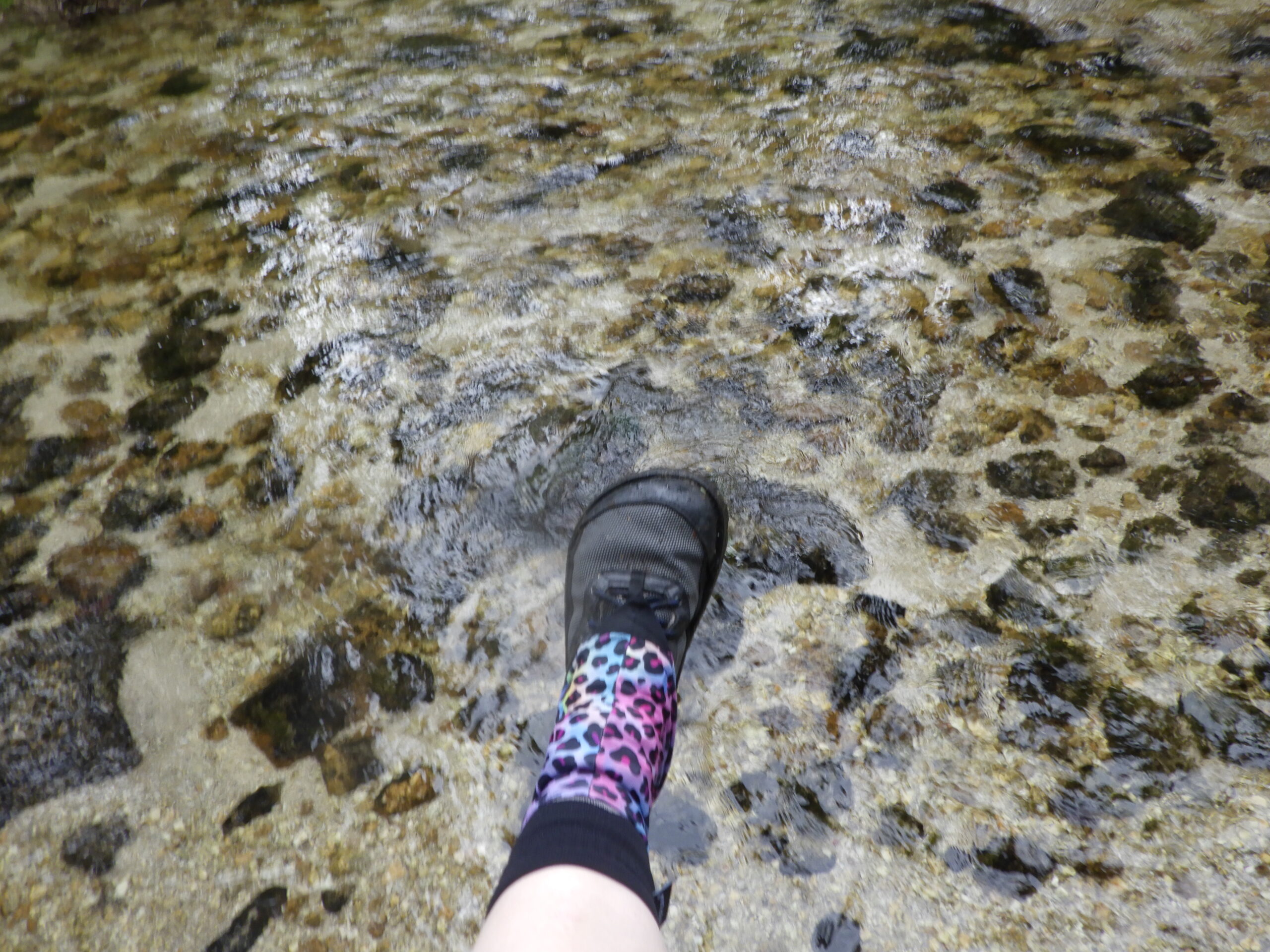
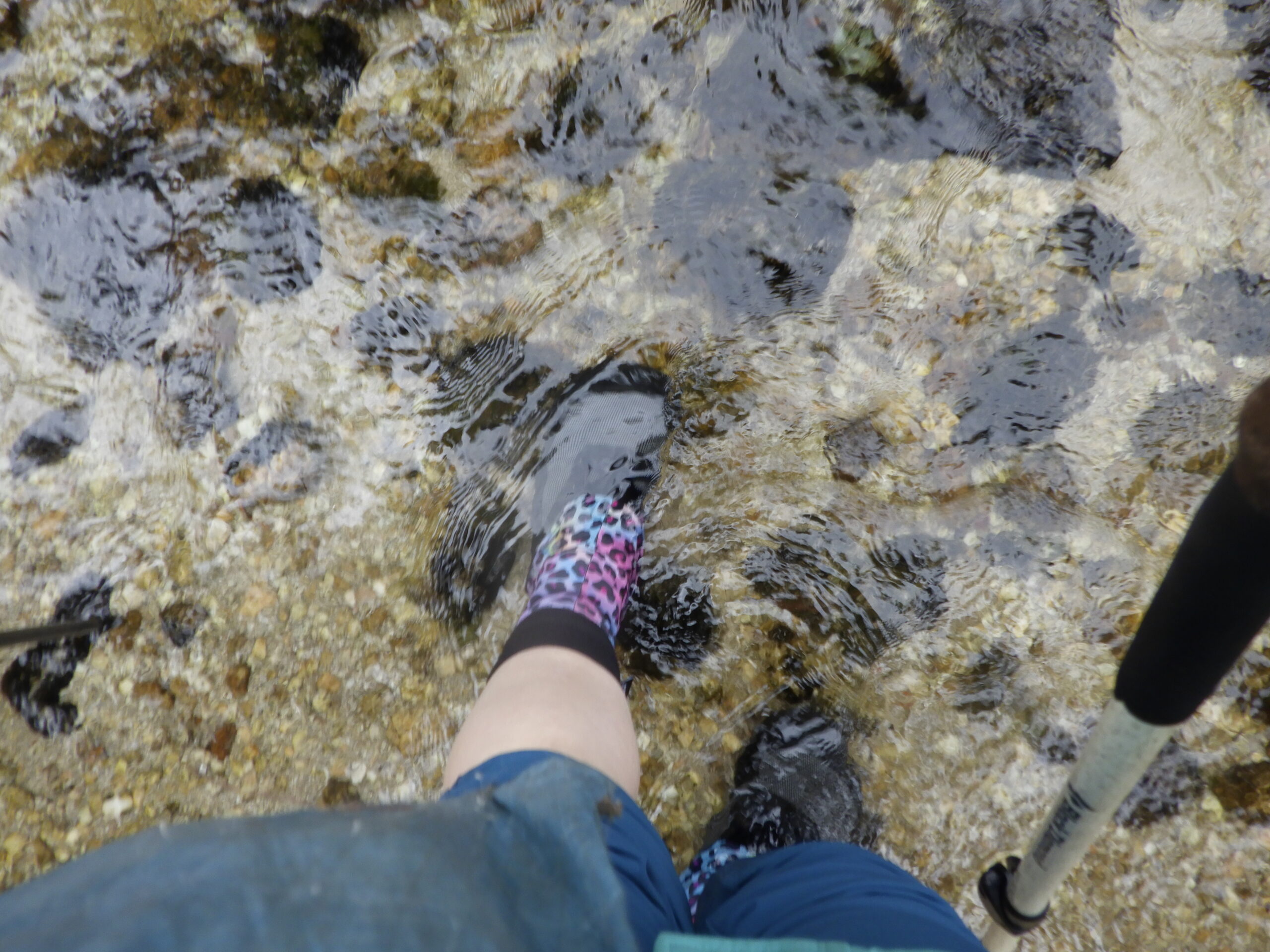
As far as the feeling of the waterproof socks… it kind of felt like a joke. I’ve read that the human body doesn’t actually have receptors for feeling wet; we interpret wet based on other factors, like cold. And my feet definitely felt cold, and a little bit slimy, as I let the creek waters flow over my feet, ankles and lower legs. I got to the other side in short order, it being an easy creek crossing, neither deep nor swift flowing. My feet felt weird, that was for sure, but they seemed quite dry.
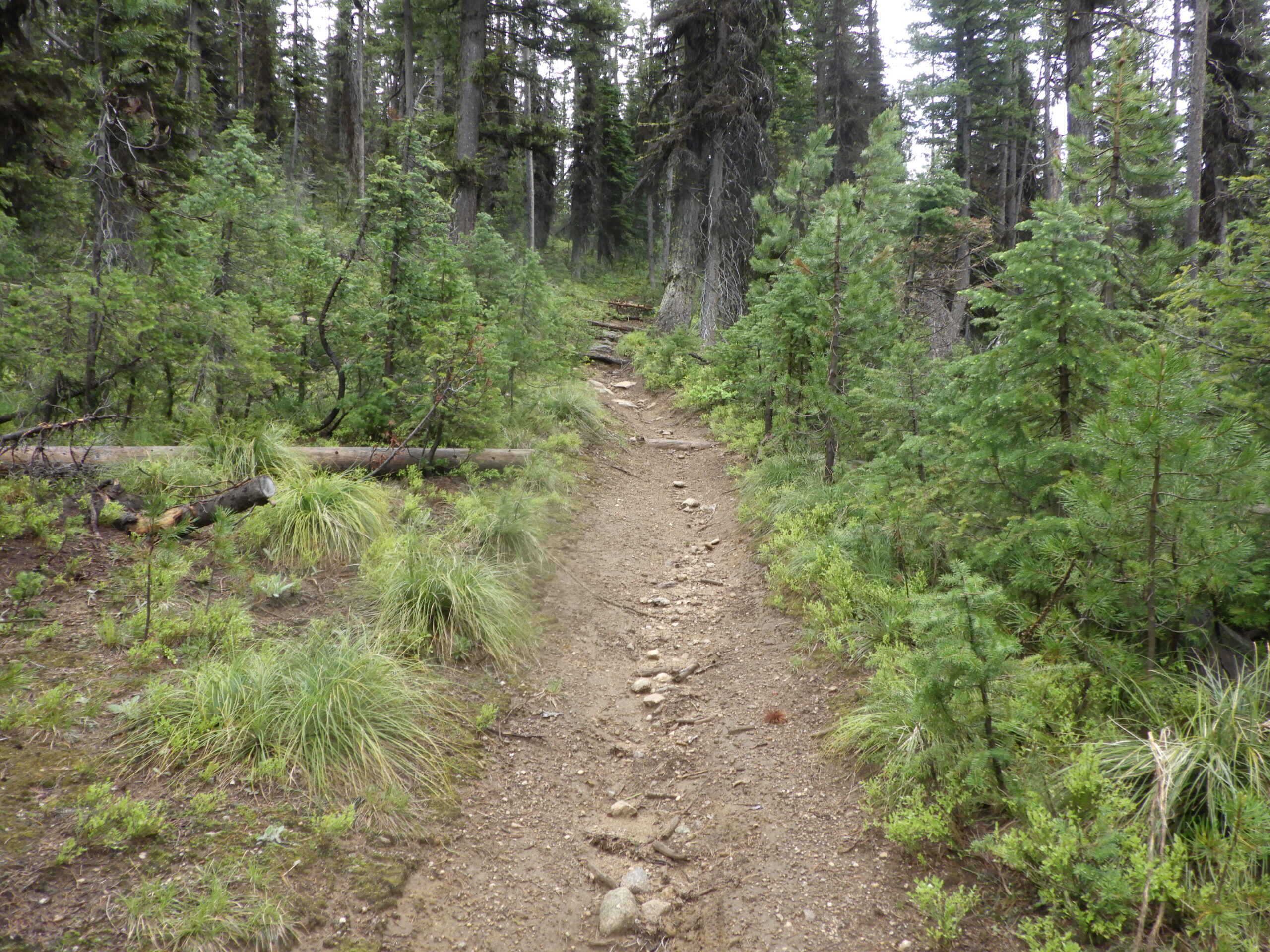
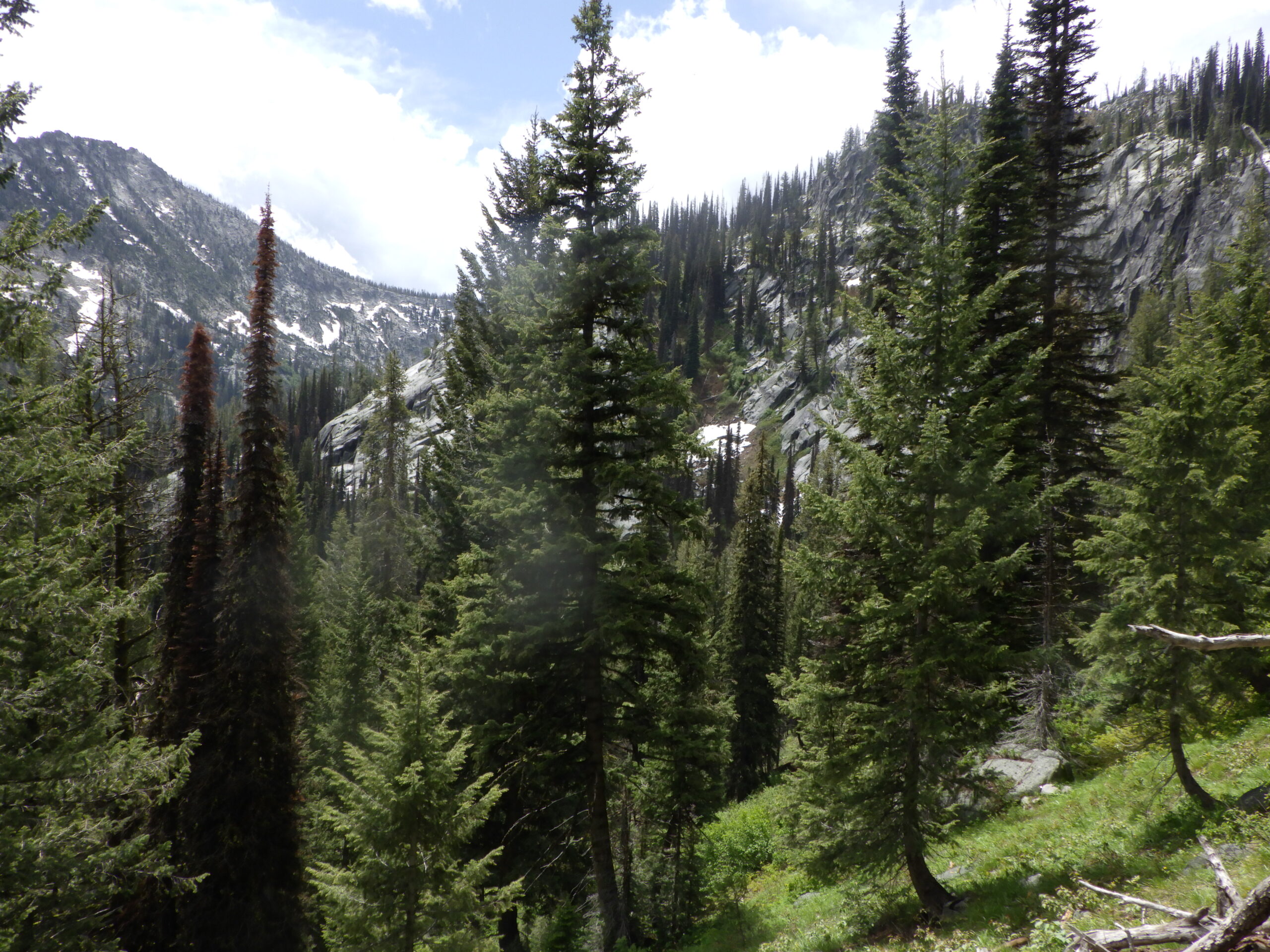
From there, I got to the business of hiking. My first couple of miles would be on a trail that I’ve hiked many times over the course of the last decade. Heck, I came down this trail on my first solo point-to-point overnight to Stump Lake. This was not a hard part, but I couldn’t just start running along because the trail is quite rocky to start. Always got to watch that footing, especially with backpacking trips coming up!
I felt good as I hiked along, though the waterproof socks were starting to kind of bunch up under my toes. I’d bought the medium size based on the lower number in that range, but when I put the socks on it was clear they were a bit too long for my feet. In fact, I rather thought that size would fit Ambrose better than it fit me, and I made a note to myself to get him to try on my spare pair later.
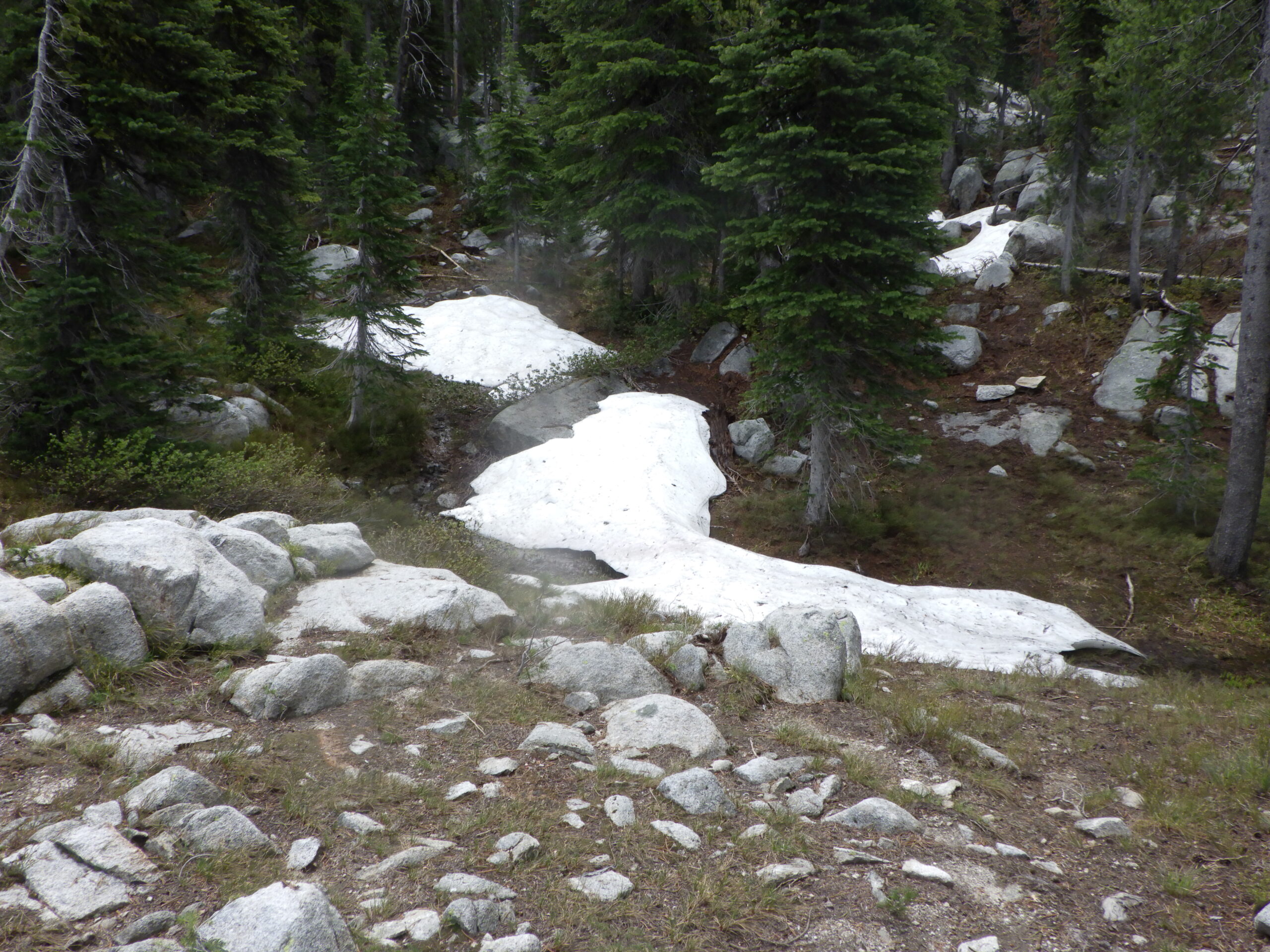
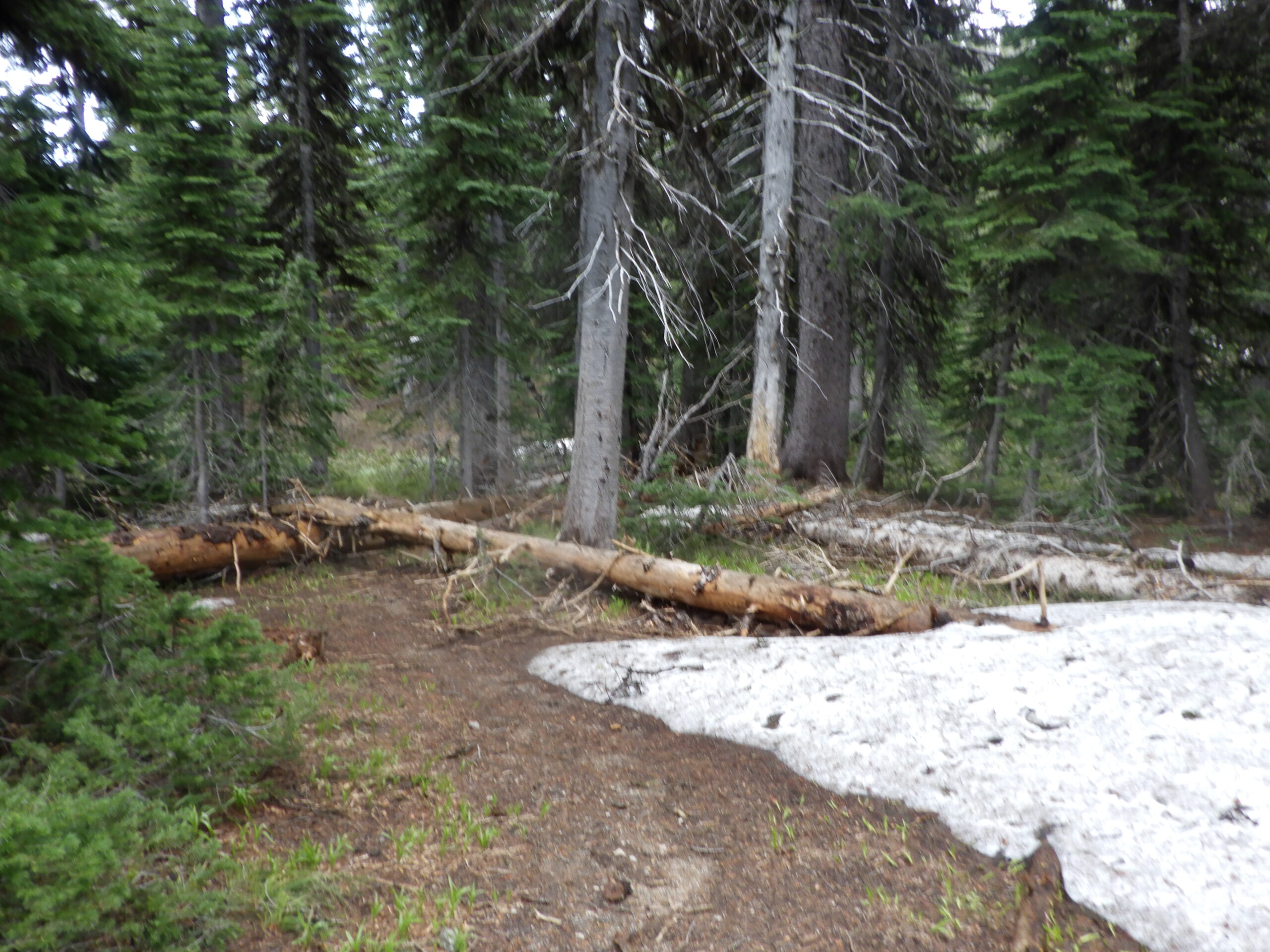
As I hiked along, I came across a few snow banks. Deep piles of snow off the trail, and one on the trail. I figured at that point that I probably wouldn’t make it to the lake, but I hiked on anyway. Got to find out for sure!
I took one break before getting to the infamous sign, Blackmare Lake <- No Trail. Here was where my hike was really going to begin – and where I was most excited to be bringing the GPS. Ambrose and I have been to Blackmare Lake a few times over the years, and we never make it without getting lost at a specific point below the lake. But now I was going to have a GPS track to guide us! All I needed to do was not get too lost on this hike. Otherwise my track would be tricky to follow.
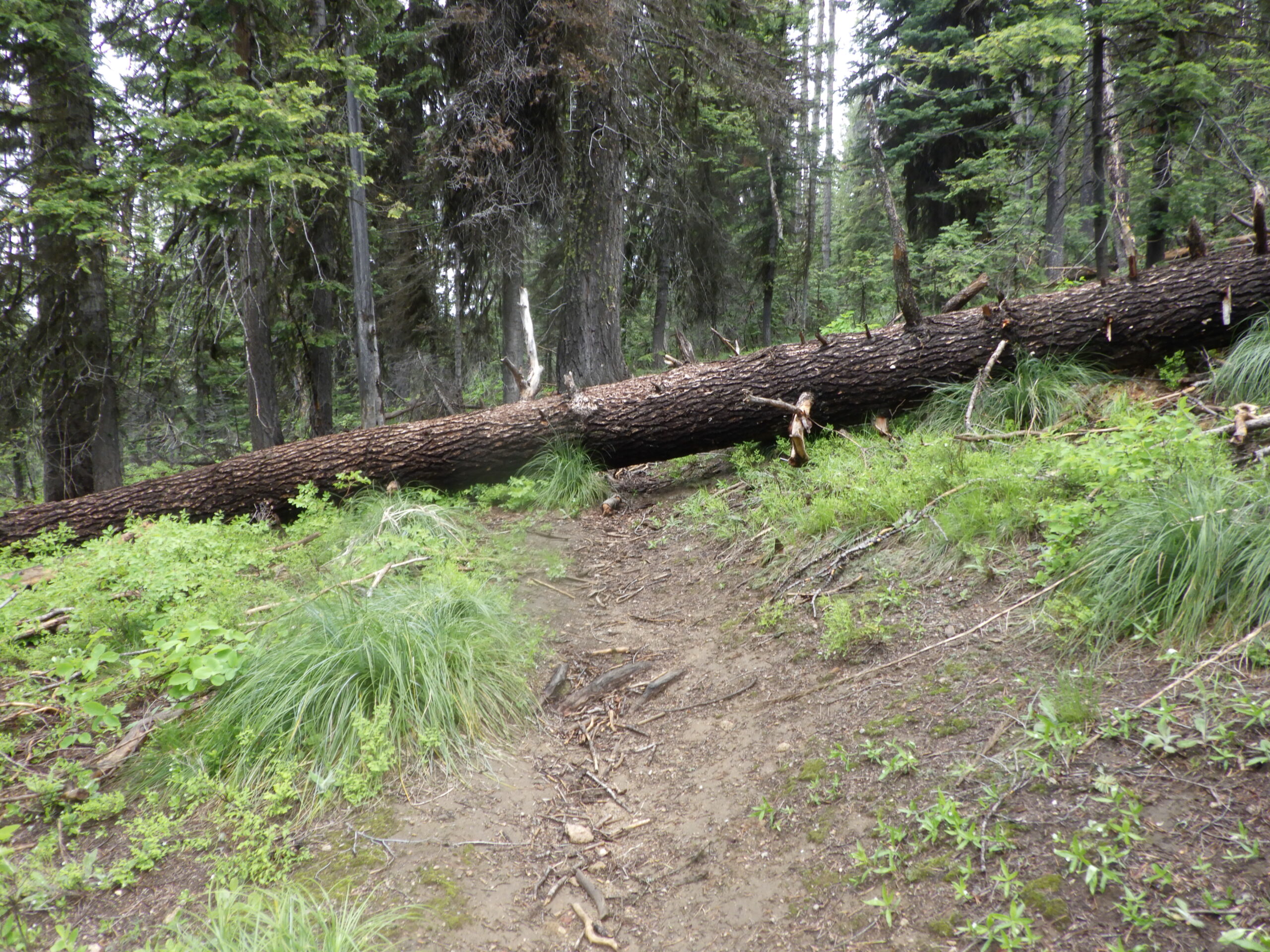
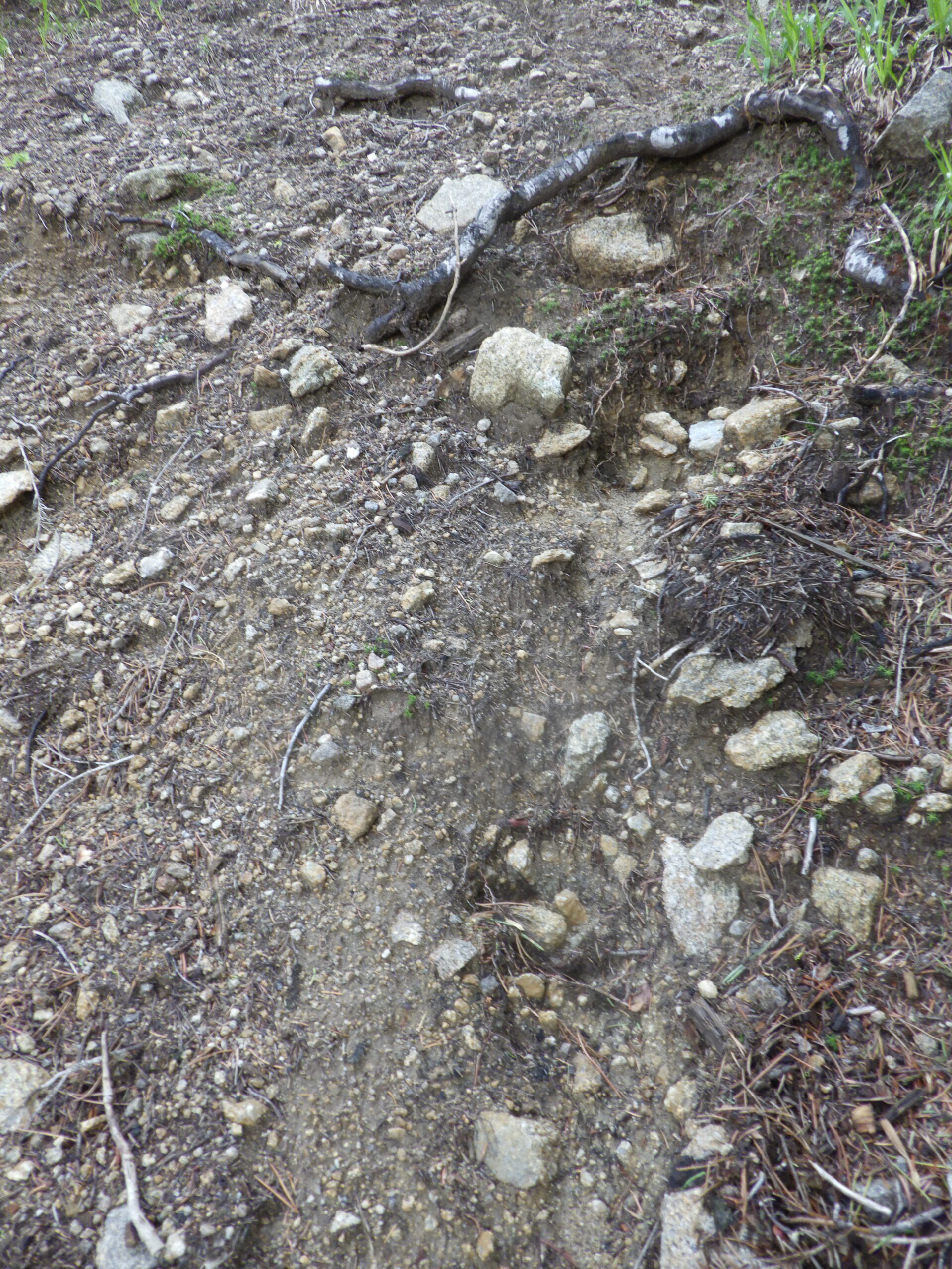
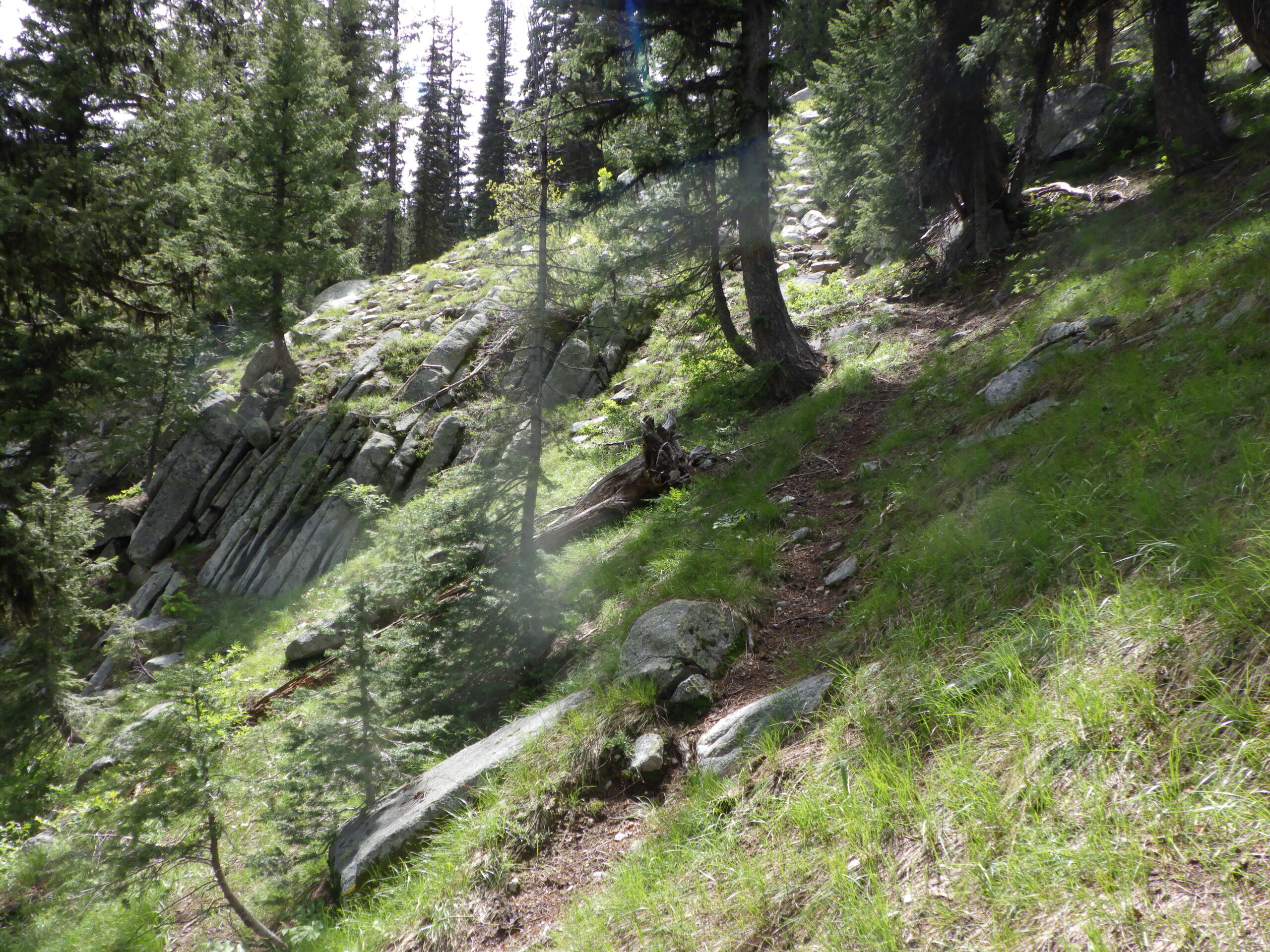
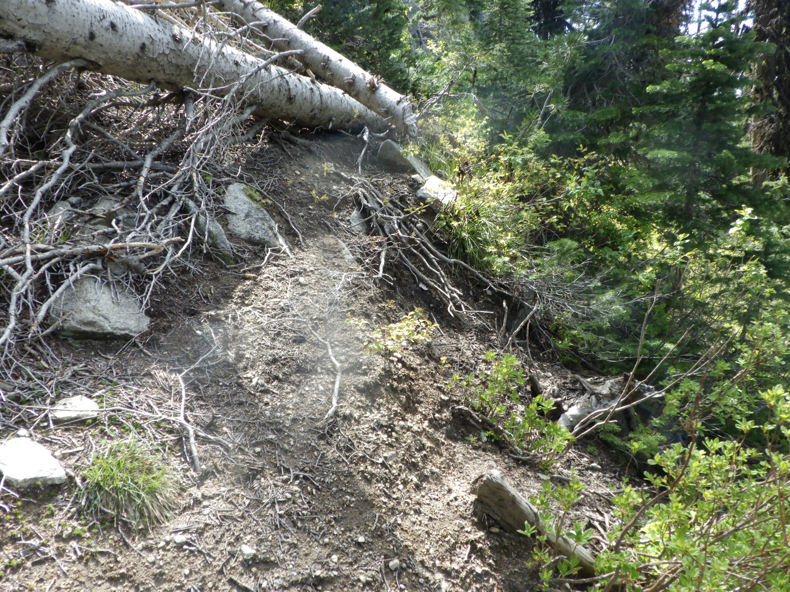
But the first bit of the No Trail was a challenge of a different kind. 500 feet nearly straight up in a quarter mile. There are multiple paths on this part, so I knew to pick whichever “trail” headed in the generally correct direction and wasn’t too hard. Hard being, of course, quite relative. I was glad that there had been some recent rain, because usually this part of the trail is slick with dust and grit. While the dust and grit were still there as the dirt dried off, the rocks where the grit liked to collect were still washed clean and easy for my boots to grip onto.
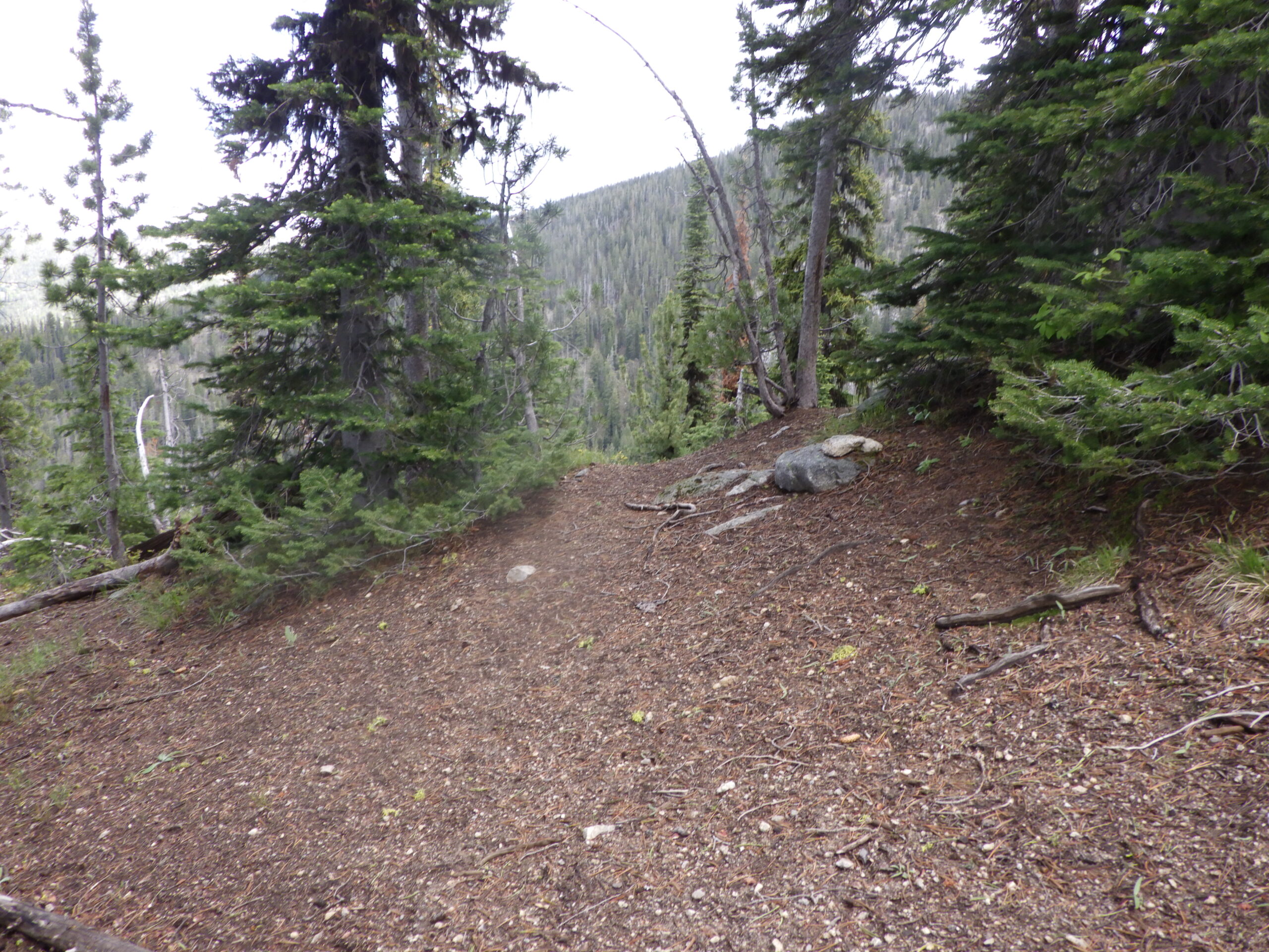
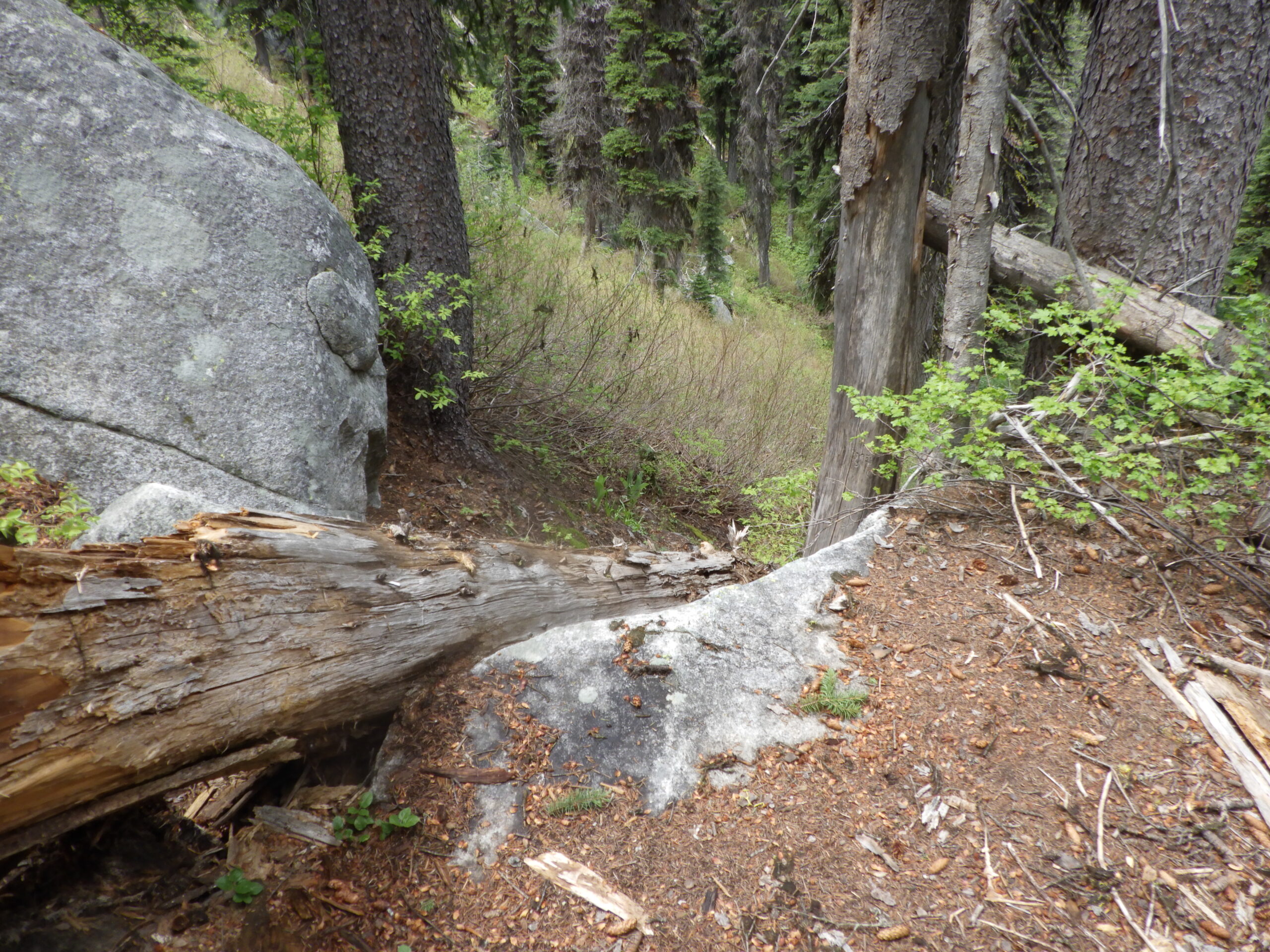
I powered up the hill and grinned to find myself exactly where I needed to be, not at the top of the ridge, but close and near the No Trail down. While technically not a trail, this one segment is the trail-iest section, where there is no alternative route. It’s not a great trail, and there are trees lying across it that have been only minimally cleared, but it’s a clearly defined path.
Once I got to the bottom of that path, I saw no snow, which meant I was good to continue. The skies were overcast, and I was wary of rain (or snow!) that might start to fall. Wary, but not overly concerned. I had a rain jacket, and hiking through the wet would just be a better test for my socks.
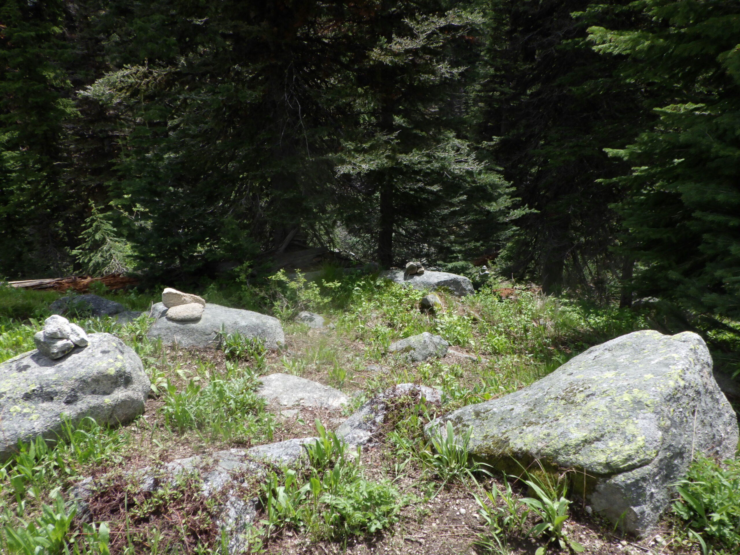
And I had cause to be glad about those socks right away. Usually, there’s a small trickle of a stream to cross at this point, but it was in full flow this time. We did have a very wet spring. The water, and some tree growth, obscured the way forward, but I took my time. I relied partly on muscle memory, and partly on the cairns that mark the trail from this point on, and let myself across and up the stream to my next section.
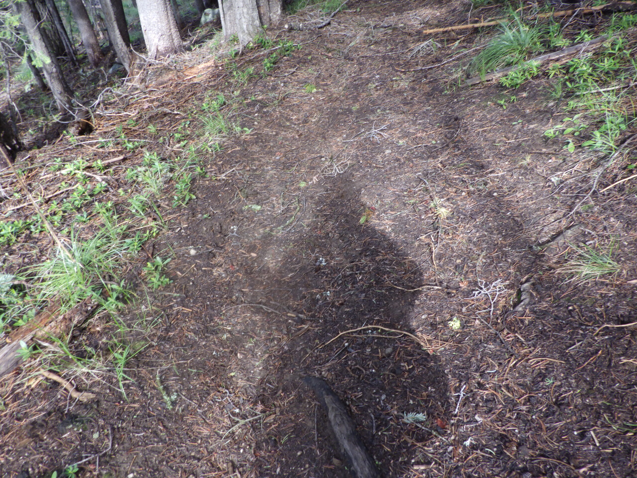
It’s kind of like playing a live game of find the hidden object. Except the hidden object is a rock, and there are rocks everywhere! I have to train my eyes to find the particular rocks that mark the No Trail. Placed and piled to be seen. Walk forward to the found rock, then do another radar scan to find the next one. Sometimes it’s easy and obvious, and I just move from rock to rock.
Other times, I need to hunt. It helps that I know the general direction that the trail should be leading me. I only need to scan a wedge, not my whole 360, or even 180. Unless, of course, I’ve forgotten…
But then I just scan the whole area, or even go back to my last known cairn. See, it’s totally possible to pick the wrong rock. There’s just so many to choose from.
I wended my way through the rocks, stopping for a break and a snack. The weather was too cold to linger, but that was all the more reason for me to eat and drink. The skies continued to threaten without following through.
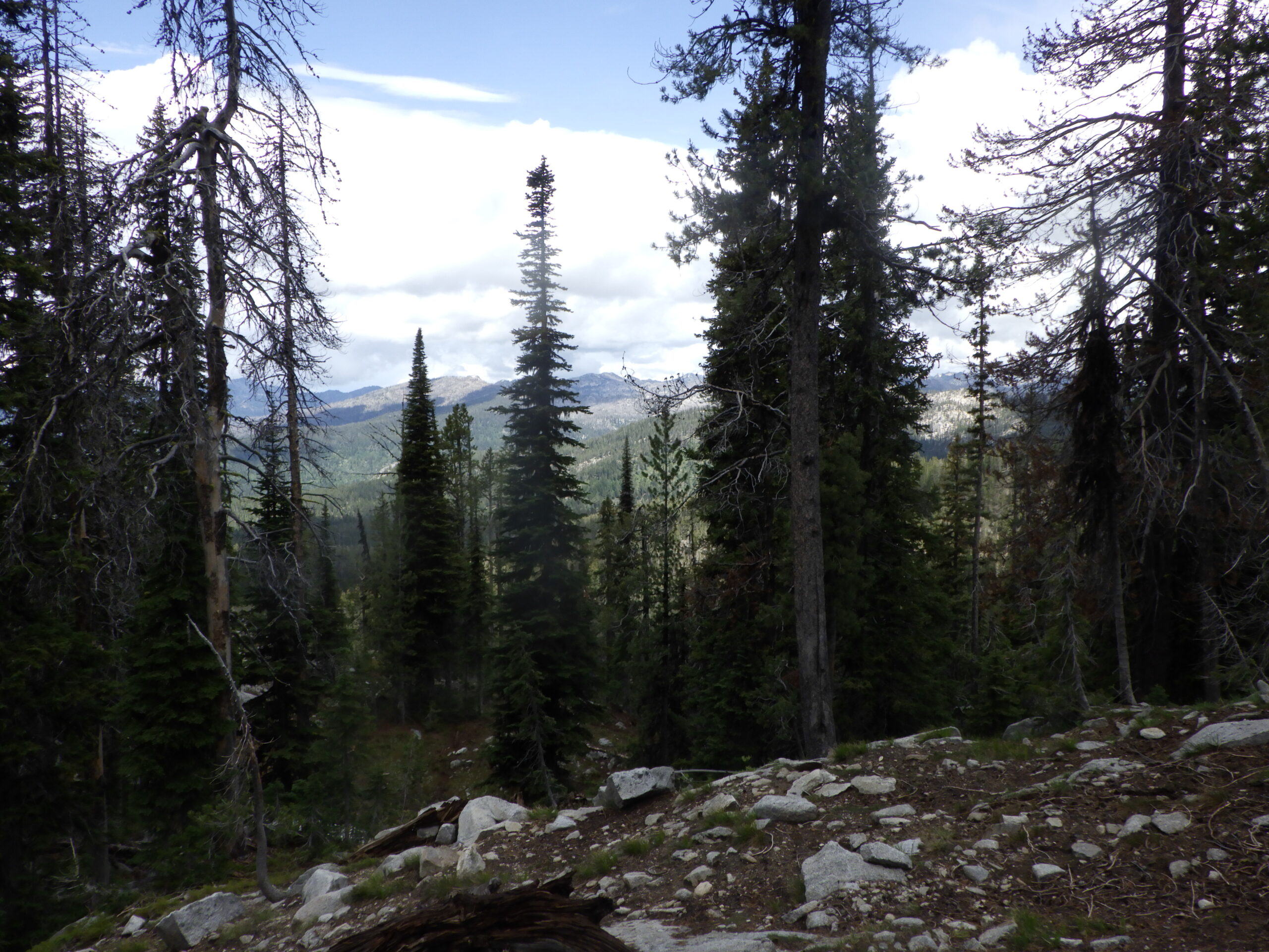
I consider that section complete when I come to a new ridgeline and take a left turn. On this trip, I missed the turn, but that was okay. Because I came to the edge of the ridge and got to see not only a fantastic view, but also an old fire ring. Clearly, people have camped up here, and I can’t say that I wouldn’t want to. Water wouldn’t be too difficult to get…
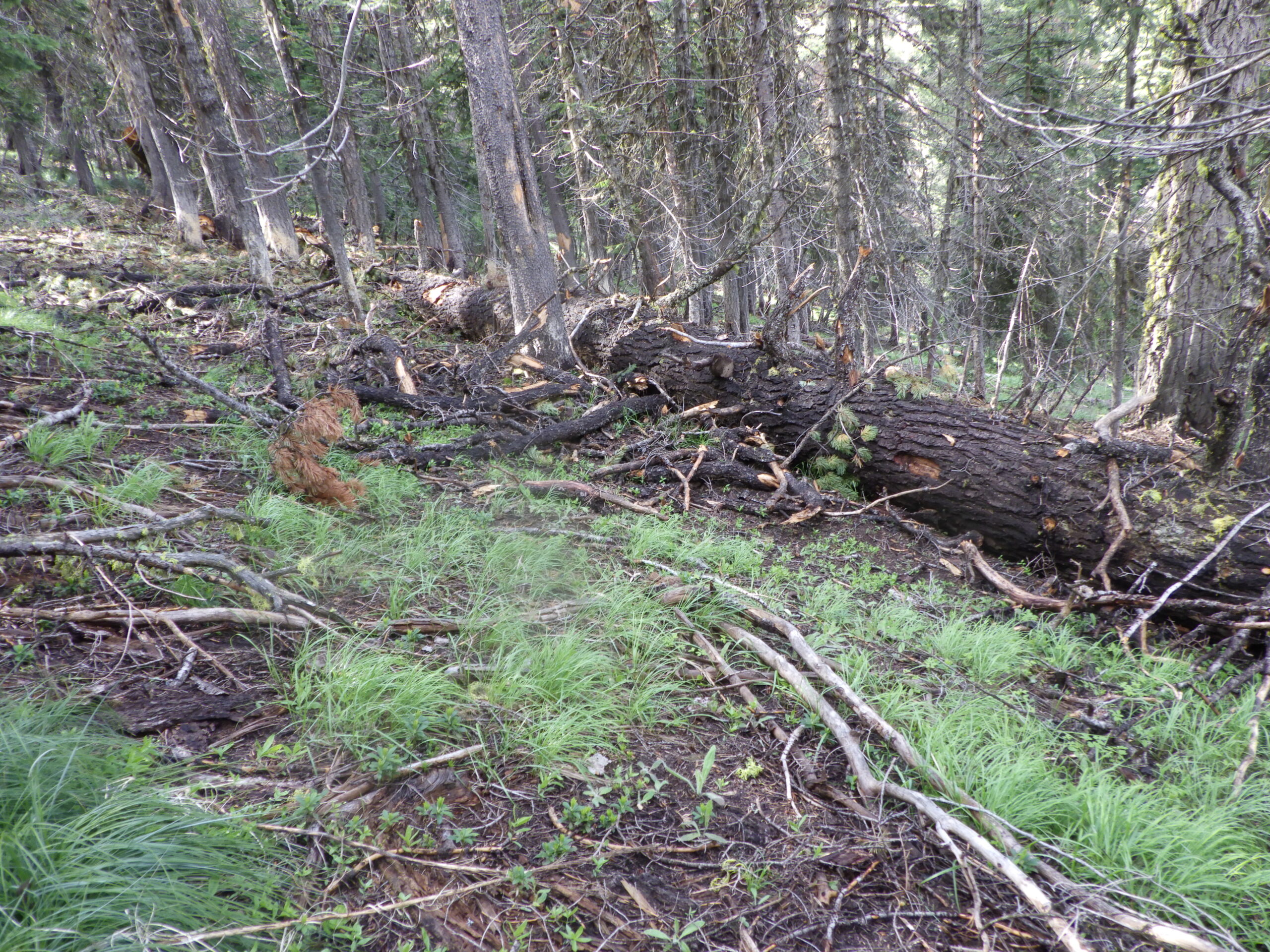
The reason I’d missed my turn became apparent when I found my way back. A large tree had fallen, blocking off the path that I knew. I just had to go around it and I was back on the No Trail. I didn’t even consider that I had gotten lost, I was just turned around temporarily. Now it was time to head down, sometimes quite steeply.
The path takes me down the ridge through what could be thought of as a very long series of switchbacks. The first leg along this ridge, and then the turn. Lots of trees down, but the path remained. Sometimes there were traces of old trail, but for the most part I was following cairns and my memory. Down, down, down, crossing over to another ridge, and then another, rockier, downclimb. At the bottom of this one, the trail is again more visible and leads the way past the first lake.
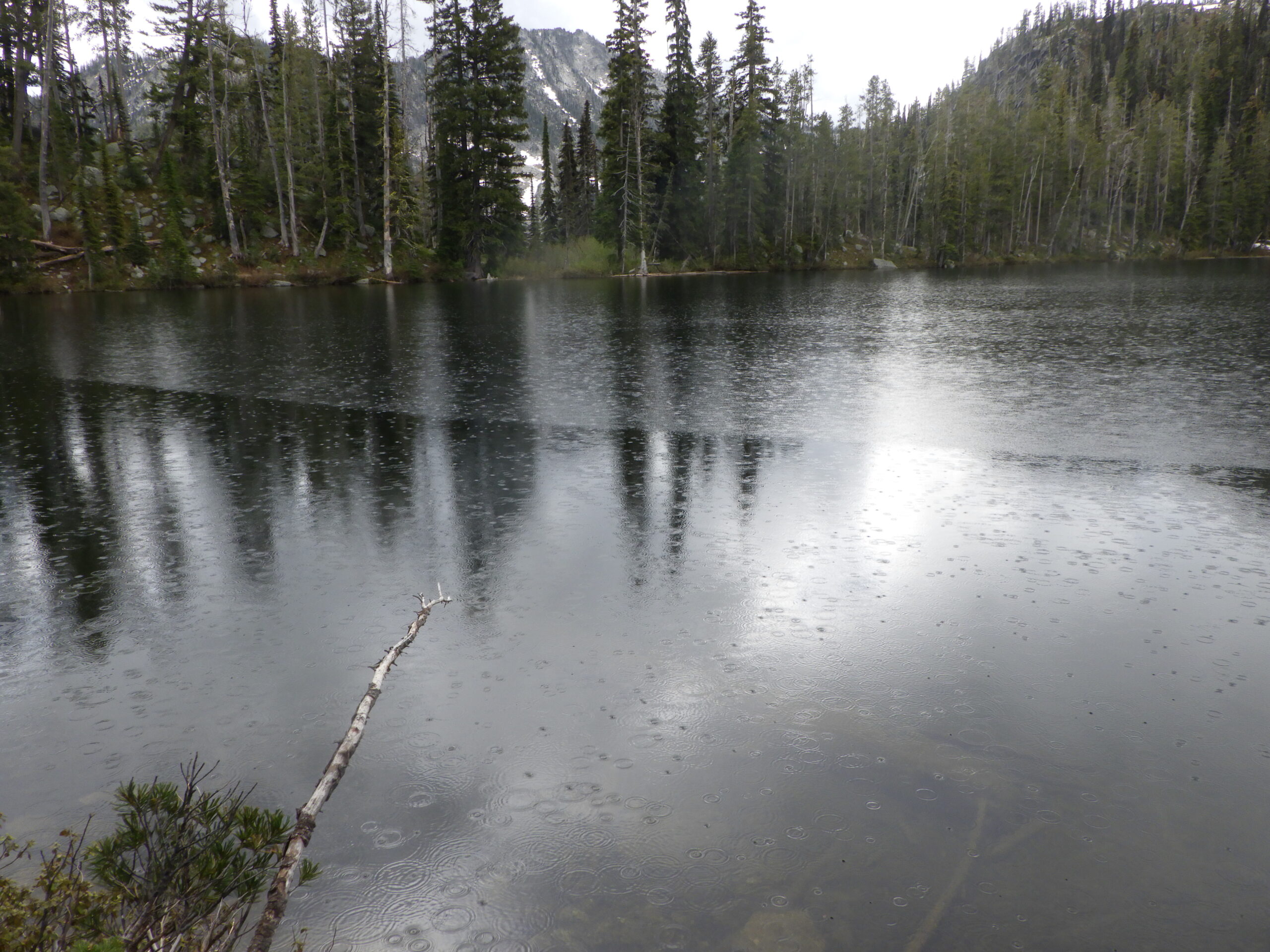
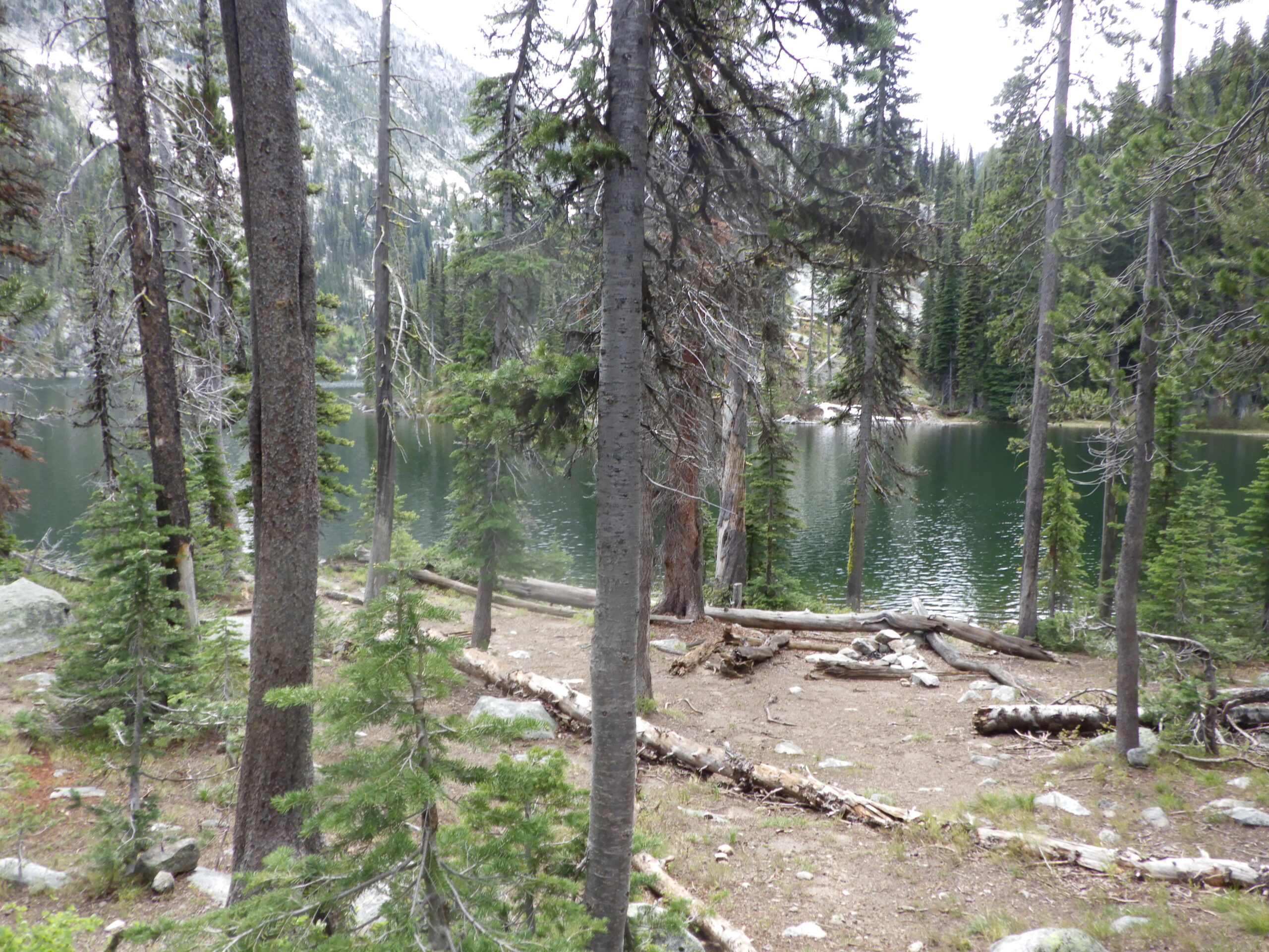
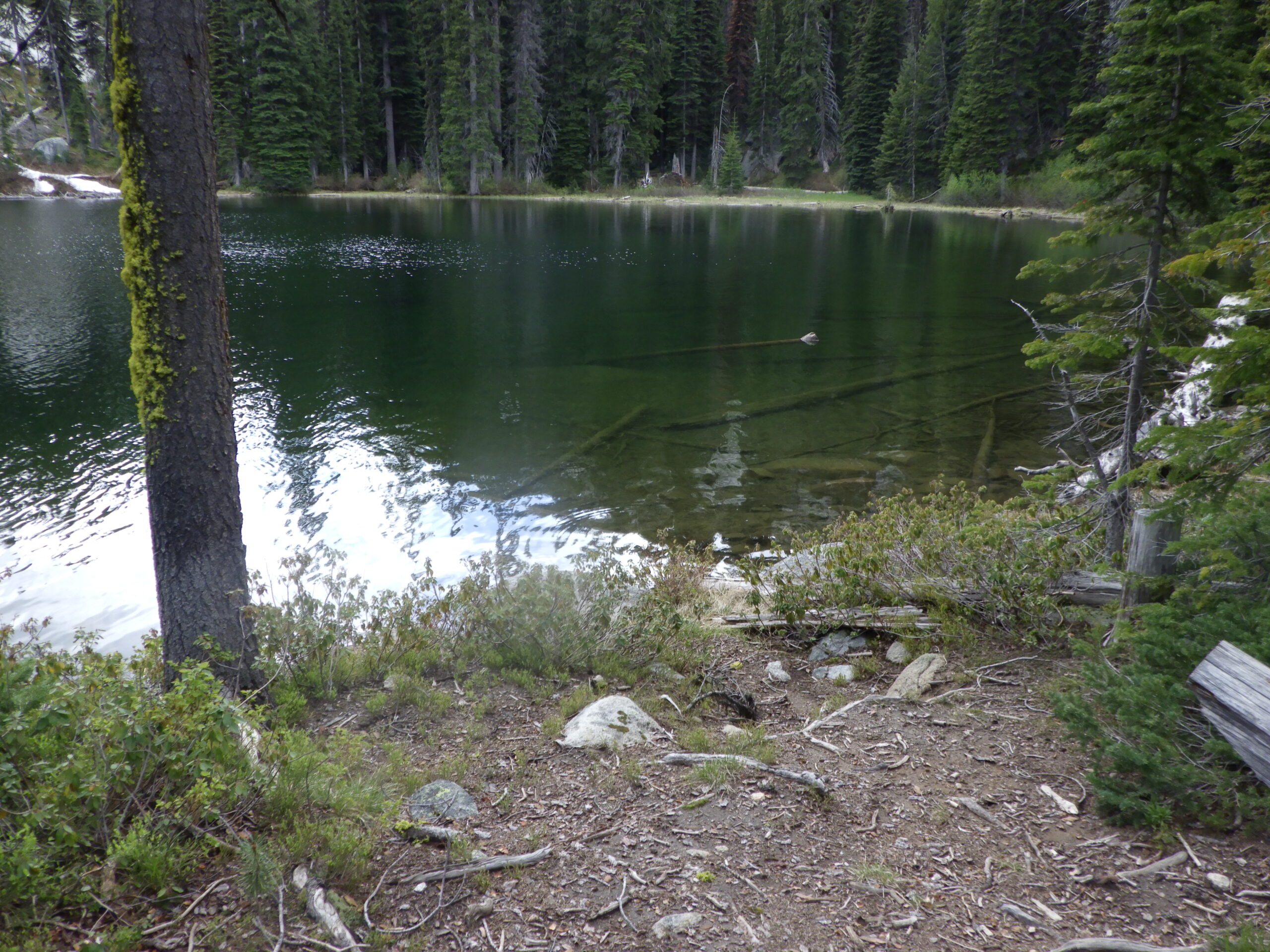
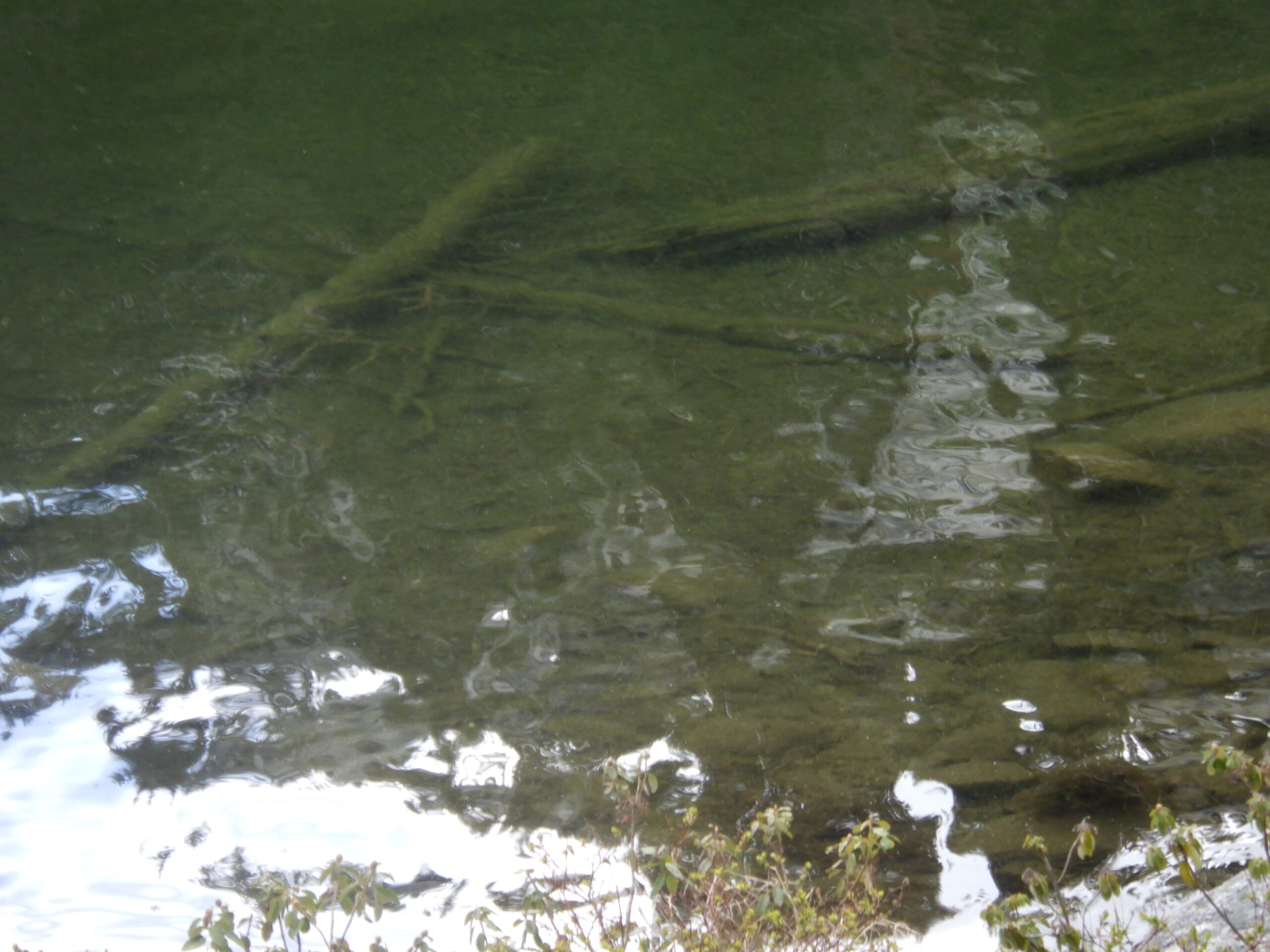
It was around when I was passing the first lake that the rain started to fall. Just a little drizzle, nothing that I was too concerned about. I put my rain hood up to prevent water from collecting inside it and kept hiking. I’ve never tried to camp near this first lake, which may have a name, but I don’t know it. It seems like there might be places to camp somewhere on its shores, but the next lake clearly gets used and has several established campsites.
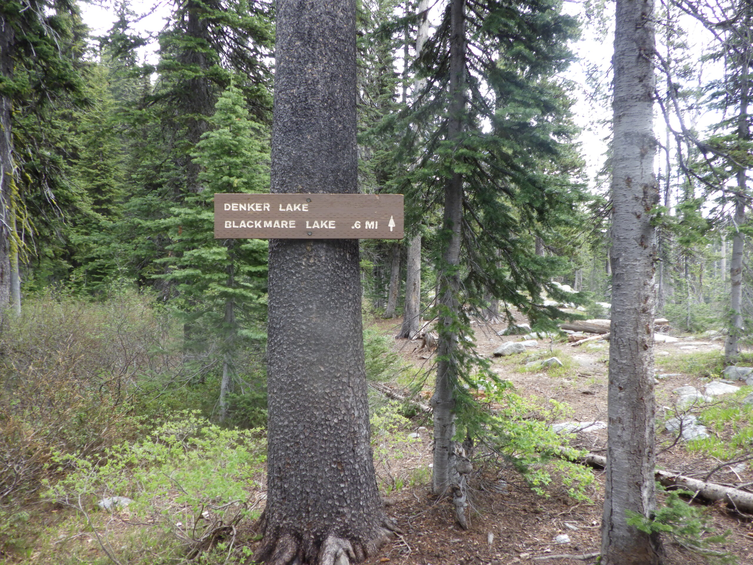
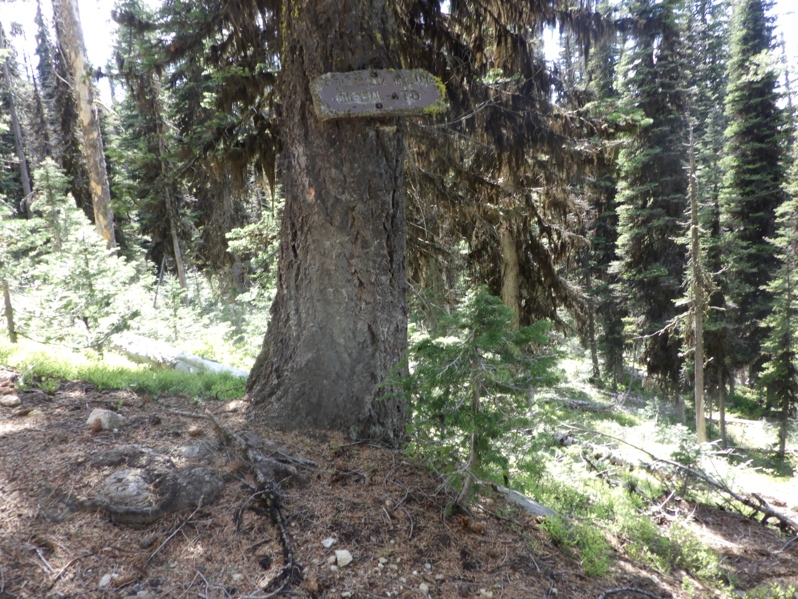
I continued on to the second lake, and the rain began to fall a bit more steadily. A downpour, but not a storm. No thunder, just a nice, gentle rain. I hiked on, finding a sign had been posted near the second lake, identifying it as Denker Lake and informing me I was less than a mile from Blackmare Lake. I don’t recall having seen that sign before, which was good. That meant that people had continued to come this way, and the way to the lake might have been cleared.
The last time Ambrose and I went to Blackmare Lake, we hardly made it. Not because we got lost (although, by tradition, we did get lost) but because there were several downed trees in very awkward positions on the route up to the lake in the last quarter mile or so. The climbing required in that steep chute was almost more than we could handle along with our backpacks, and I was really hoping that had been cleared up a bit.
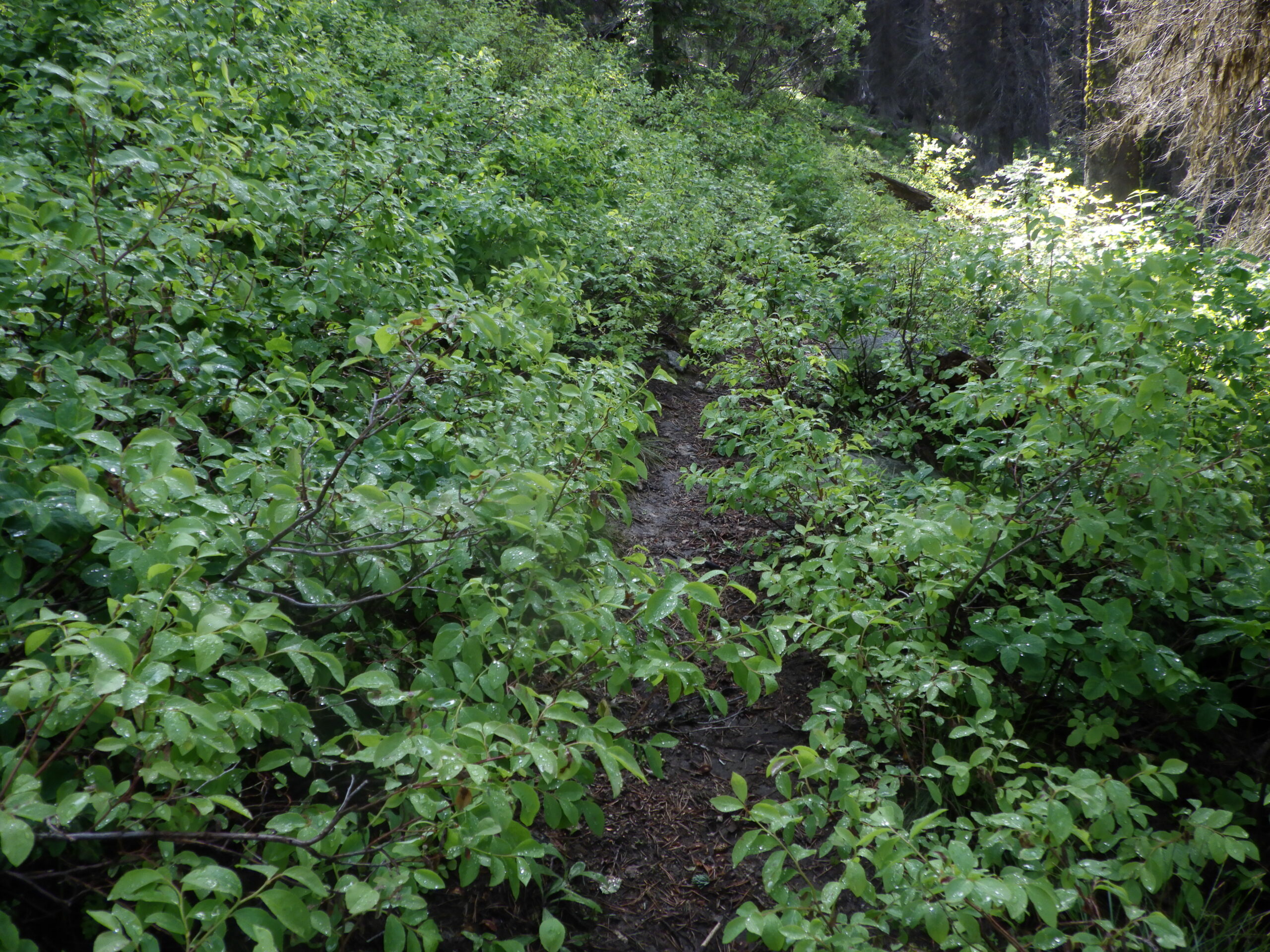
But before I could check that out, I had to make my way around Denker Lake and get to the steepest, most difficult descent on the whole route. The shores of the lake were a lot wetter than I remembered. At one point, I lost the good No Trail and ended up on a not so good one (there are several routes around the lake). I walked through little streams and bigger streams and the rain continued to pour down. Rather than attack the scary steep part while it was raining, I took a seat under a tree and ate some food. It was just about time for a break anyway.
I was hoping this would be a classic Idaho rain, lasting no more than 10 minutes, but it just kept on drizzling. I decided to just go for it, because I still had a good amount of lake to get around before I started the descent. Maybe it would stop raining by the time I got there.
Around the lake I went, and the rain did indeed taper off by the time I got to the worst part of the descent. It’s usually a terribly scary section because there’s dust and grit on the trail which just slides under your feet, making every step feel precarious. However, the rain had just made everything wet, so, oddly, it felt slightly less scary. Only slightly less, because it’s still perilously steep and rocky. I did appreciate the grip my Softstar Switchback boots were giving me though. That’s why I want them on the Olympic Coast!
I made it through the descent without incident, which was nice, because the actual hardest part was coming up. The section of the trail that we always, always, always get lost at. I was really hoping not to get lost this time, so I took my time and looked for landmarks. I almost have more landmarks of the wrong way at this point than the right way, but I couldn’t find any landmarks at all. It had been too many years.
There weren’t any cairns, nor ribbons, nor any other indicators of the No Trail’s path. I wandered around just a bit before pulling out the GPS to set me right. It didn’t exactly have the trail I was on, but it had Blackmare Lake. Being able to orient myself based on the lake and how I know that trail goes allowed me to get across the outlet from Denker and over to familiar territory again.
Only a short climb separated me from Blackmare Lake!
And, as I made my way up the chute, I found that someone had indeed been up here with some tools. The treacherous blockage had been cleared, and I made my way up with no complications other than the climb. I was breathing hard, but the exertion kept me warm, and I was starting to see blue sky through the trees. That meant I wasn’t far from the lake.
Up, up, up and I broke through.
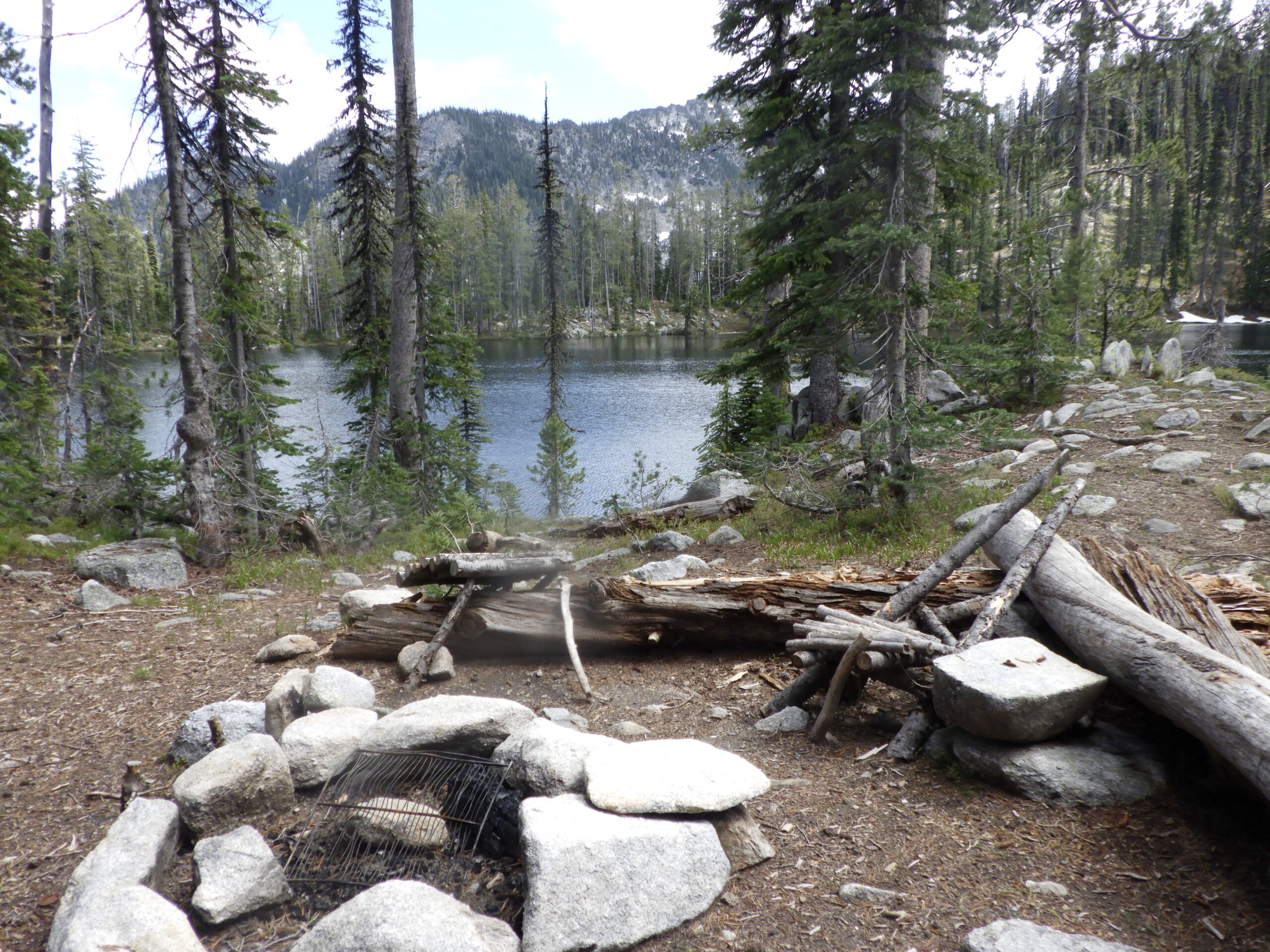
Blackmare Lake!
Just as I remembered it. A gorgeous expanse of water, nestled under Square Top Mountain, in the rough shape of a horse’s head. A fire ring was ringed by sitting logs close to the shore. There used to be a makeshift chair there, but that was gone. There were still grills for cooking and other fishing paraphernalia. I briefly considered walking around to check out the other campsite that I knew of, but I didn’t want to spend the time. I had things to do!
I had to eat lunch. I had to find a place to dig a hole. I had to filter water. I had to send an InReach message so that Ambrose wouldn’t worry about me – and so that he’d be jealous that I’d gotten to Blackmare Lake without him. I had to take videos of Blackmare Lake, too. I had taken my GoPro on this trip for a very specific purpose. I wanted to figure out how I would use the GoPro when hiking on the Olympic Coast. I knew that I would need to have a hands free method of recording, because the coast has terrain that requires attention. I was keeping it in a water bottle holster attached to a handle, while hiking, and I was planning on checking out if the video came out okay before the coast trip. But I also was taking footage holding the handle out at the lake.
It was sunny now, but still cold and windy. I did take my boots off to see how well my socks were working, but it was hard to tell. They were damp from sweat, but not wet. I got going after I completed all my business, but I took long enough that I was really feeling the cold (especially when I scooped up water from the lake to filter). And I had to start with descending, which doesn’t warm me up. But it wasn’t long before I got back to the horrible descent, now an ascent. I feel much easier about hiking that section uphill than down, but it’s so steep it’s still scary.
It’s also warming though, so I wasn’t feeling the cold anymore by the time I got back to Denker Lake. Retracing my steps was relatively easy. It was just one step in front of the other, wash, rinse, repeat. Once I got back to the “real” trail, I started to push the pace. Out there on the No Trail, you’ve got to be more careful than on than well used and maintained trail back to my base camp.
I had sent Ambrose a message from Blackmare Lake to let him know that I expected to arrive between 6 and 7 in the evening. I didn’t want him to start my dinner too soon, lest it be cold when I arrive. In the past, I’ve messaged him with an ETA of a time domain, like 30 minutes, but that’s not the best idea as it turns out since these are not texts. The InReach messages take their sweet time. But by getting to the No Trail junction before 5, I was well on track to arrive before 6, which should be just about perfect timing. I was ready for dinner, but I’d be able to wait for Ambrose to cook it without biting his head off.
By the time I got back to that first creek crossing, I was ready to be done for the day. But that didn’t stop me from walking on through the creek again. I also wanted to test drying all the wet stuff out overnight. I had dried wet socks last year by sleeping on top of them after layering them in my towel. The question was did I have enough towel to dry not just socks, but also my boot’s liners as well as I wanted to.
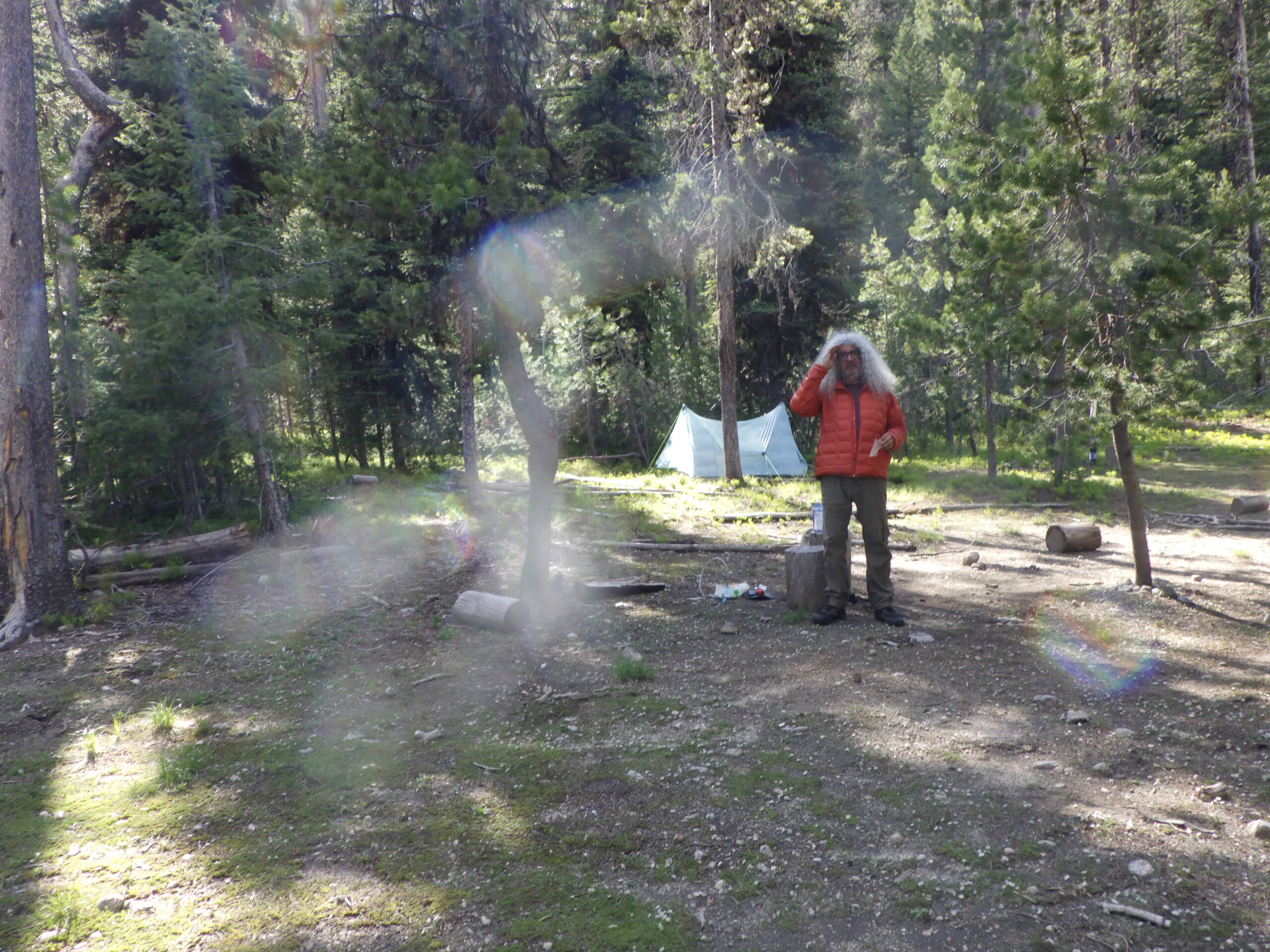
When I came upon Ambrose, he was just about finished with cooking my dinner.
Turns out, he wasn’t getting my InReach messages at all! That was not a good situation, and I made a note to look into the situation when we got home. it ended up being that we forgot to update the card on the autopayment for both our InReach devices, but for some reason mine was still working. Still not sure why mine was sending and his wasn’t, but that’s what happened.
Ambrose had made me Pad Thai by Backpacker’s Pantry – a favorite that has changed a few things since we first started eating it. I think they were smart to change from long noodles to short ones, but I’m not sold on combining the Sriracha with the lime. I really like sprinkling in the lime salt. Still, the flavor is as good as it ever was.
Overall, I felt pretty good about my trip, except for the part where Ambrose started to get worried because he hadn’t gotten a message from me. But I felt strong, and a little badass, to have gotten to Blackmare Lake and back, by myself, on a day hike.
Okay, I felt a lot badass. I’d never hiked out of Blackmare Lake the same day that I’d hiked in before either. It’s a tough trek.
I’d been thinking about what I would do the following day, if anything. Ambrose proposed that I limit myself to a four hour hike, with an extra hour for lunch and sightseeing, and I agreed with a bit of reluctance. I was really hoping to hike to Blackmare Summit, a place that I had never been, though I’d seen the sign for it many times. 4 miles from our base camp.
Hm. Only 4 miles, and on a trail that motorcycles use. That means very few downed trees. There could be rough sections from tires rolling rocks around, but overall, it was likely to be much better maintained than the trail I’d just done. Just because I’d taken nearly 8 hours to hike 7.6 miles today didn’t mean I couldn’t hike 8 miles in 4 hours tomorrow. Even with about 1800 feet of elevation gain.
I resolved to do both. To hike for no more than 5 hours and to make it to Blackmare Summit. All I needed to do was execute the plan.
And step 1 was a good night’s sleep, which I got right to, after dinner.