Another late morning because, according to the guidebook, this wouldn’t be too long of a day. And, unfortunately, we were going to be relying on the guidebook more today than we had been on the trip to this point. See, the day before, when we first met the archaeologists, I spread my maps out and showed our route. And one of them suggested that we might take a different route for today and asked to see my Chicken Peak map. I shuffled my maps around, didn’t find it and played it off like I was sure it would be somewhere in my bag.
But it wasn’t.
And the Chicken Peak quadrangle was a significant part of not only today’s journey but tomorrow’s as well. When I told Ambrose about my lapse in maps, he agreed with me that between the guidebook and the GPS, we should be fine. The guidebook had a rough map and the GPS had terrain and landmarks, just no trail.
We decided to take a calculated risk and continue our journey as planned. But we might have gotten an earlier start if we could have examined the Chicken Peak quad and seen just how long and steep the end of our day’s journey was going to be.
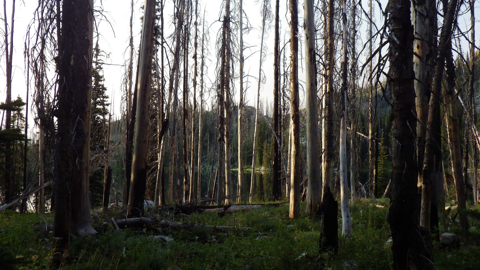
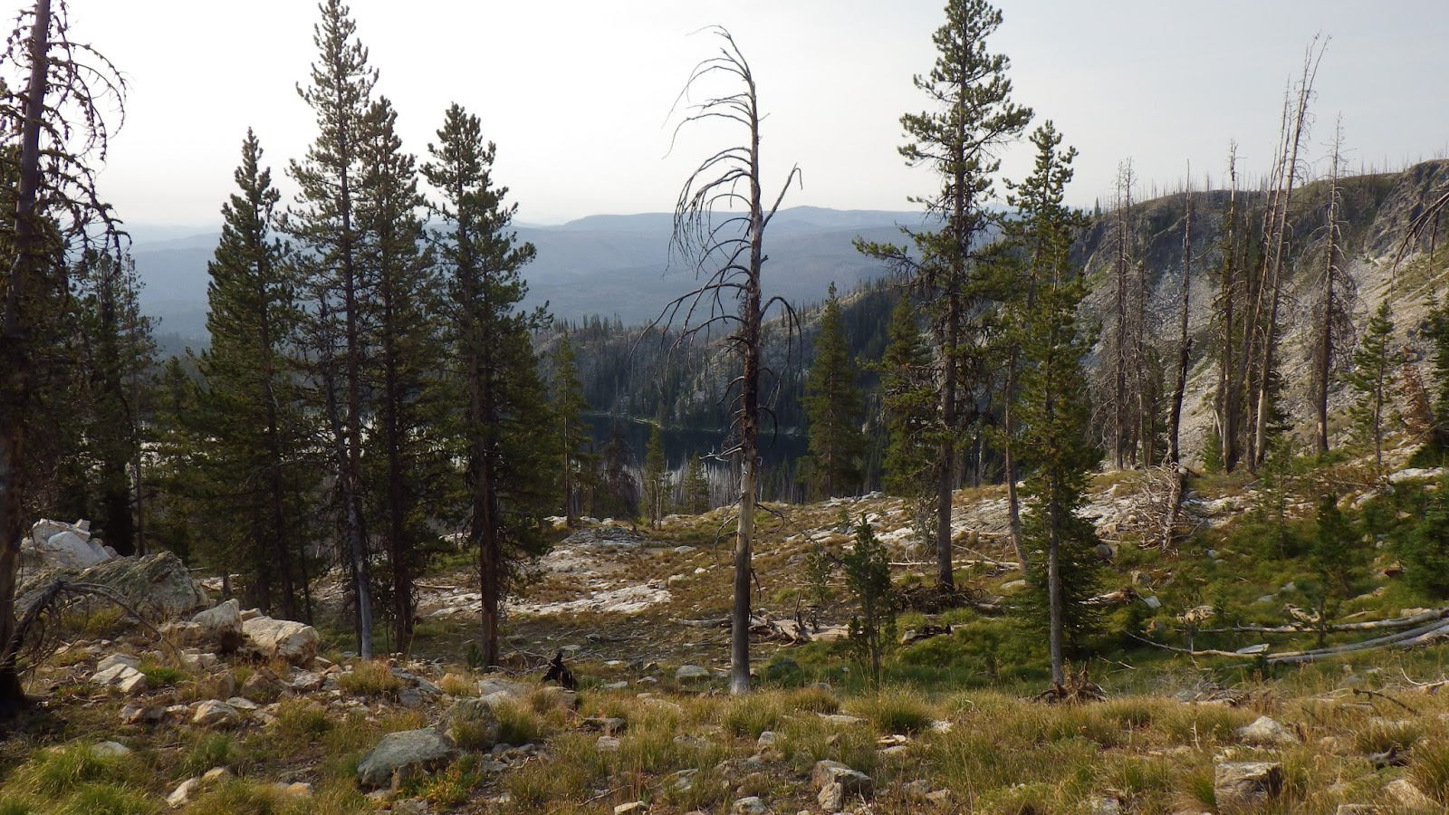
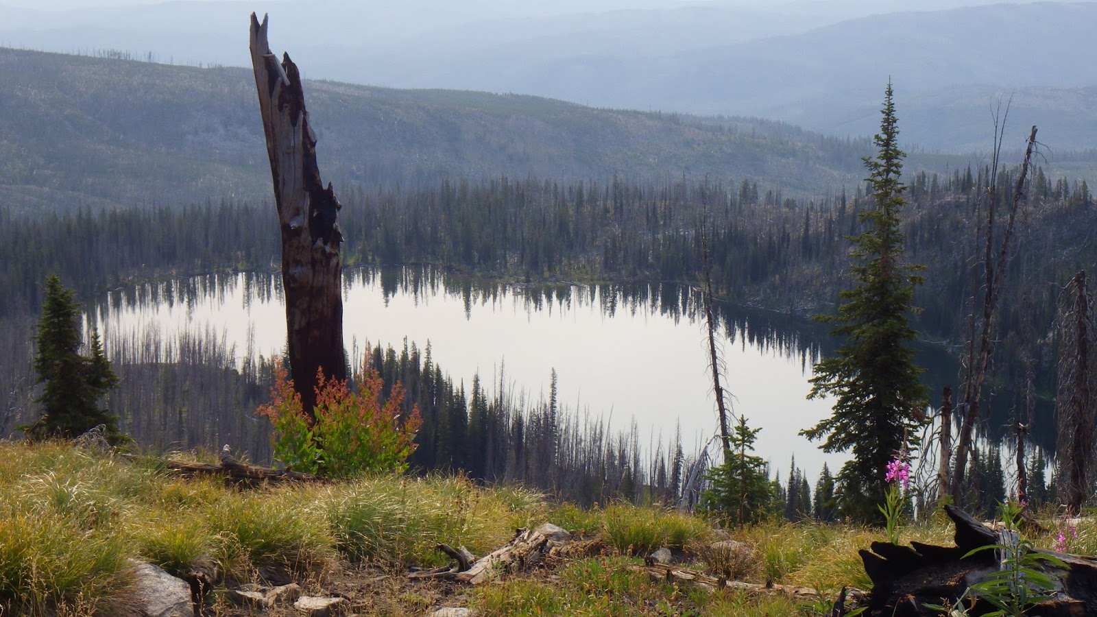
After camp chores were nearly done, I walked over to Sheepeater Lake to get a few pictures with morning light. The battery was just about done, but I managed to get an extra couple frames out of it by taking it out and warming it in my palm. I had another battery, but I had left it in my pack when I went to take the pictures. I replaced the battery once I got back to the campsite where Ambrose was wrapping up his morning routine.
 |
| Good morning, Sheepeater Lake. |
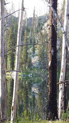 |
| The lake was still in the early morning light. |
 |
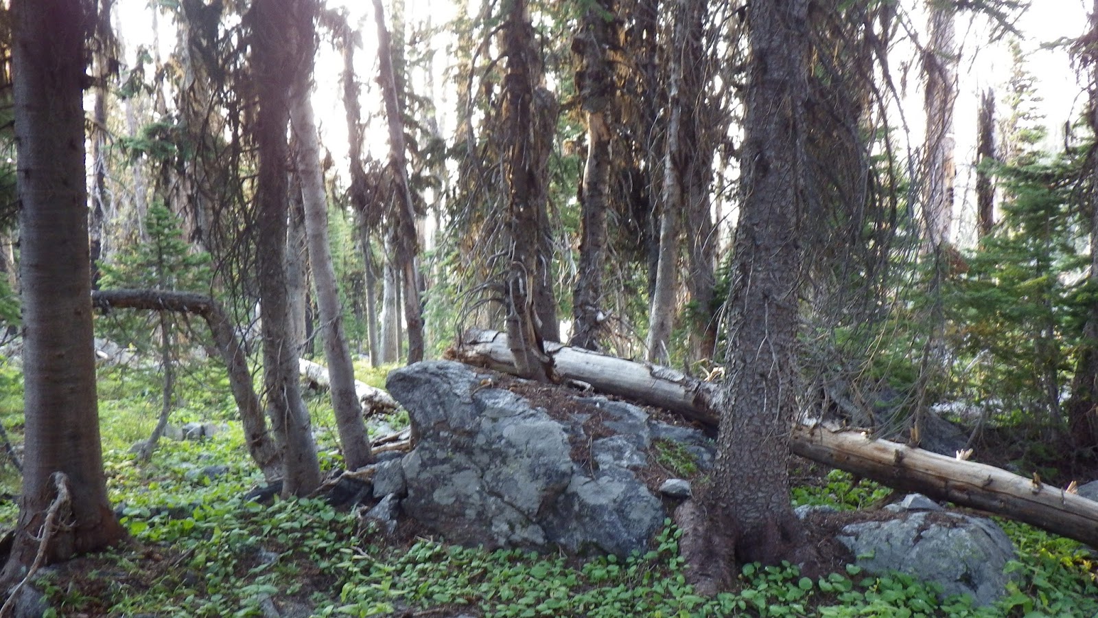
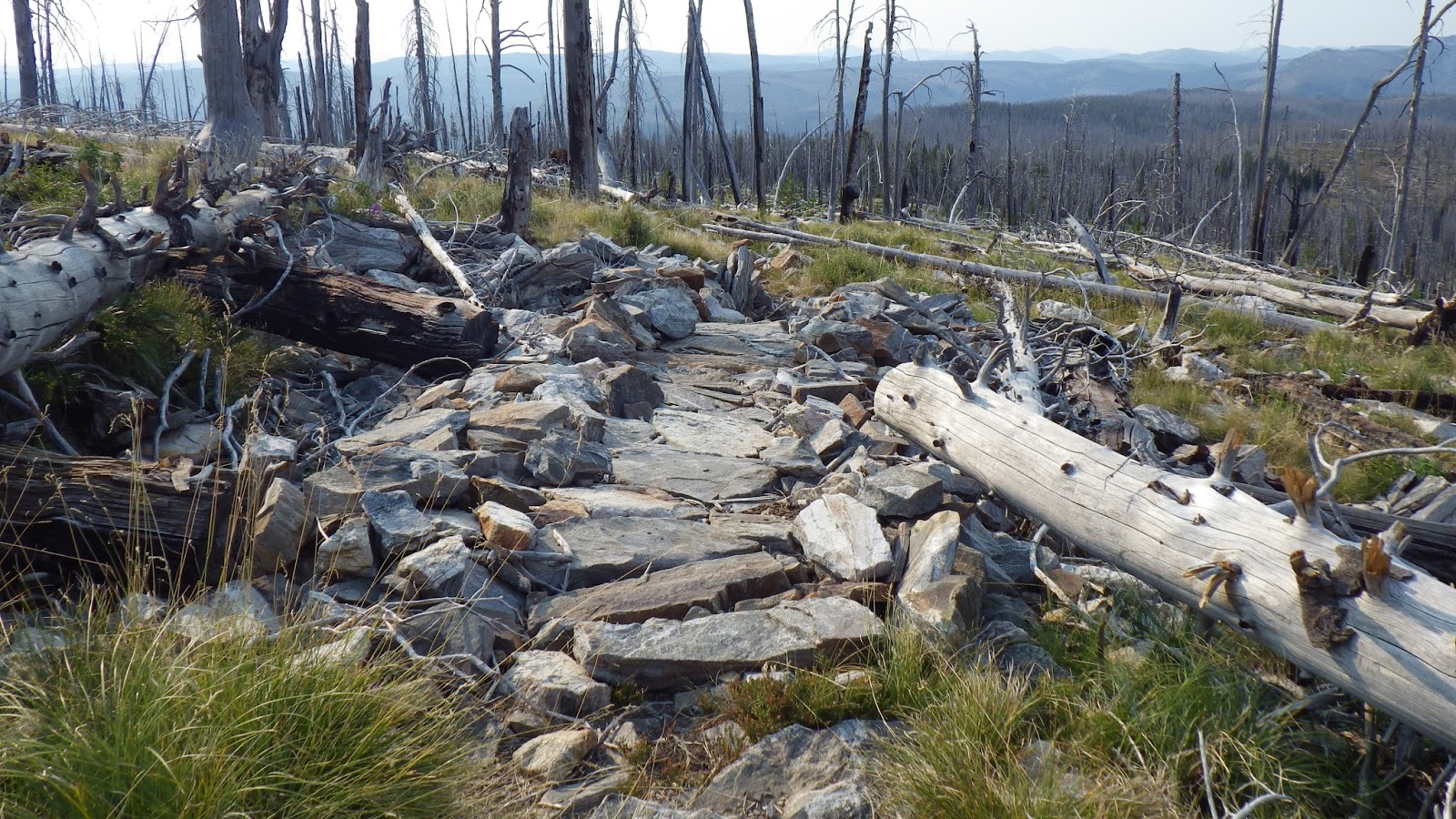
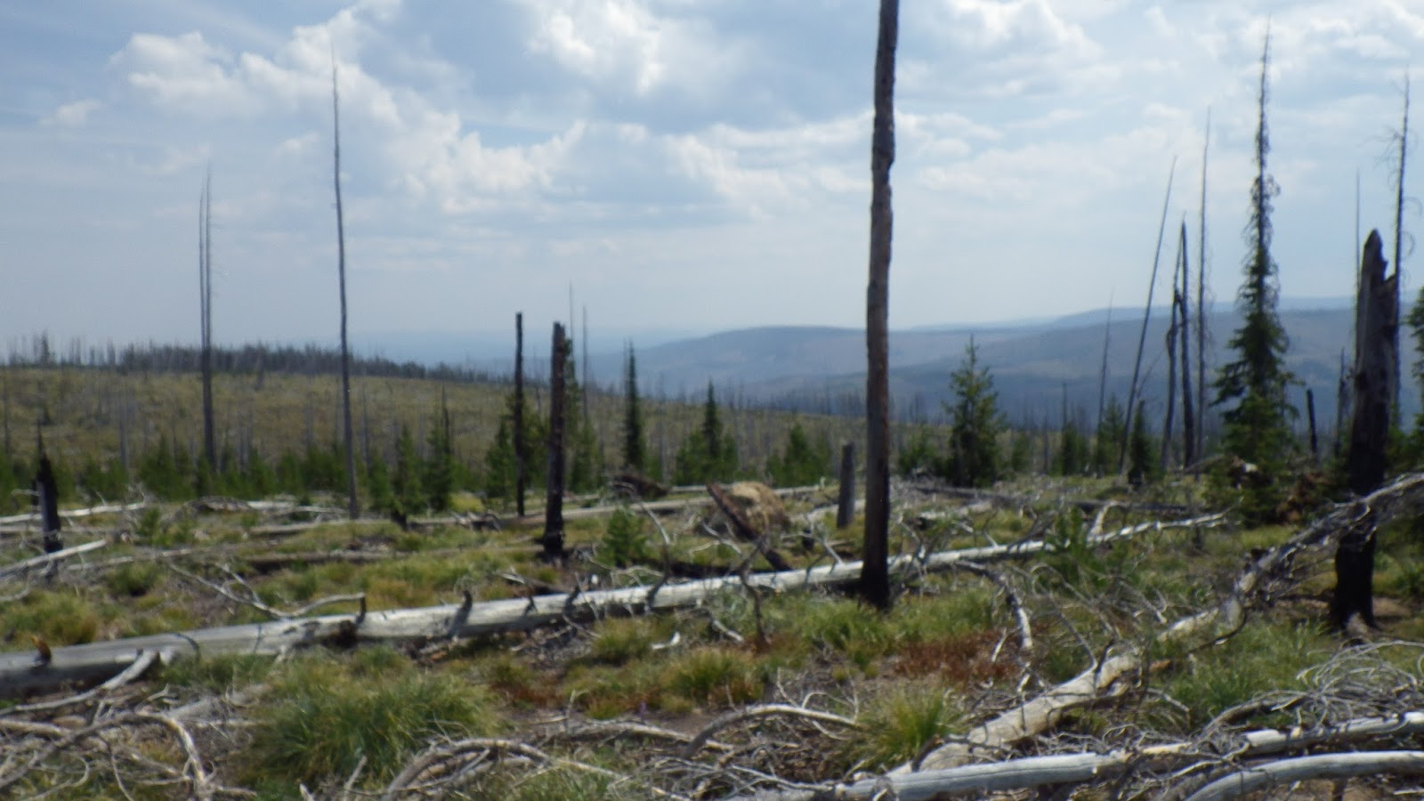
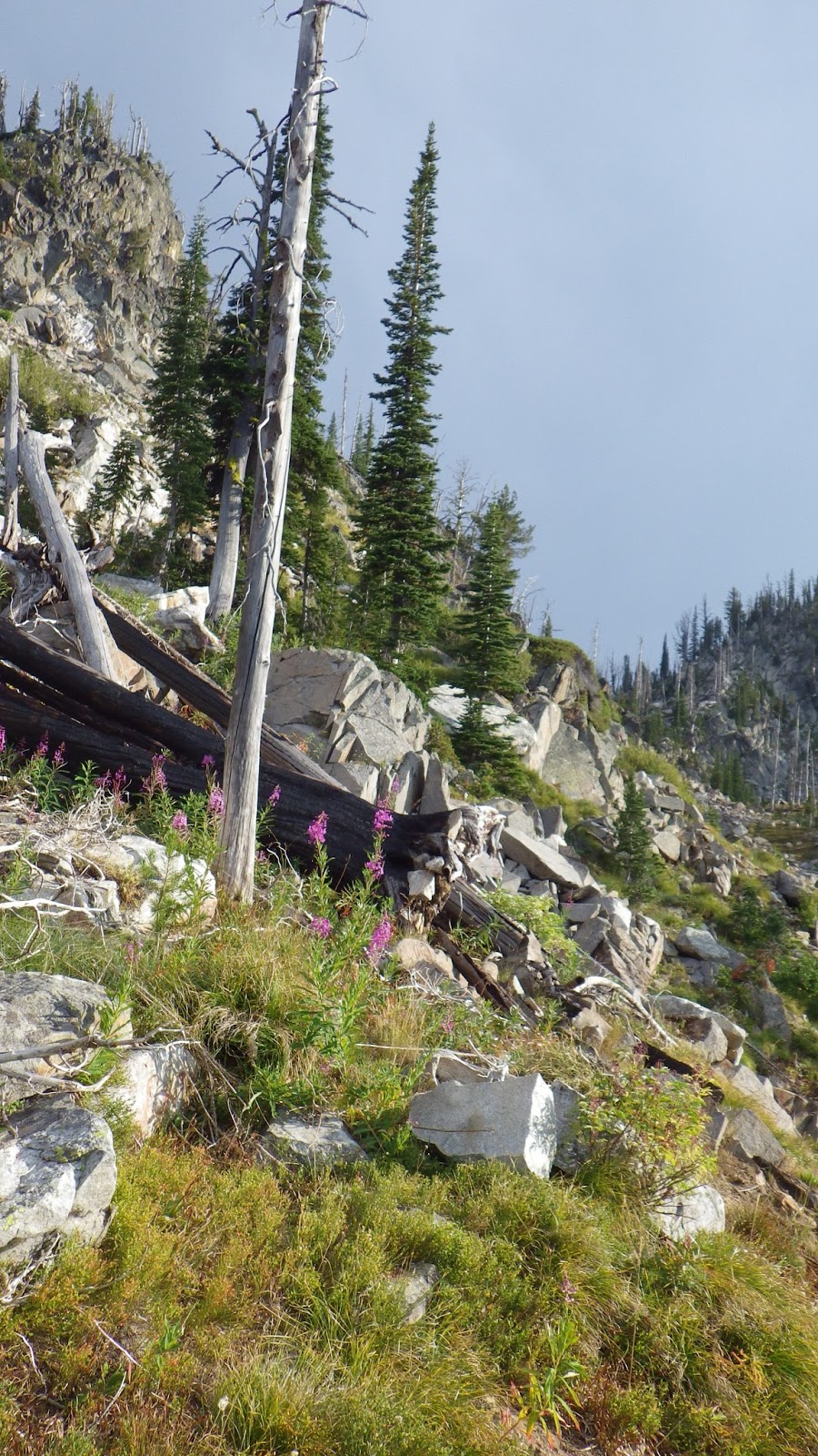
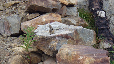
| To Ambrose, this looked like an attempt at the construction of a wall. |
We were completely off trail, and had no desire to retrace our steps just to find the trail, mostly because we’d have to climb up and then down just to go back up. So we examined the map (this one we had) and decided on a direction that should lead us to an intersection with the trail.
 |
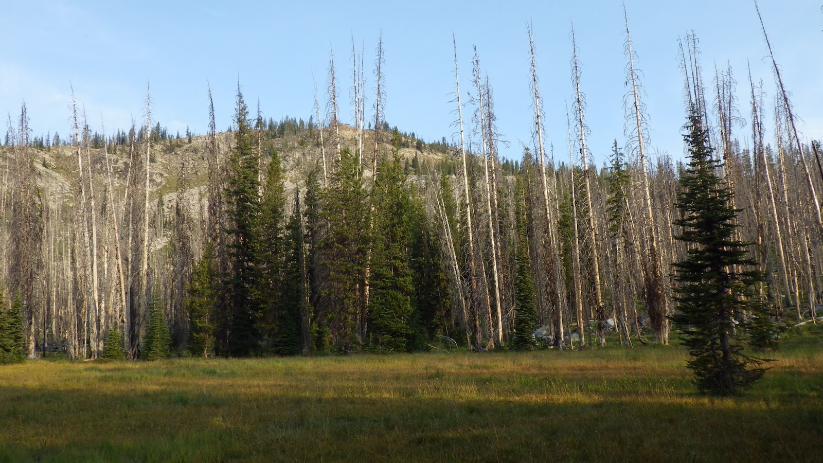
| Meadow in the morning. We almost camped here. |
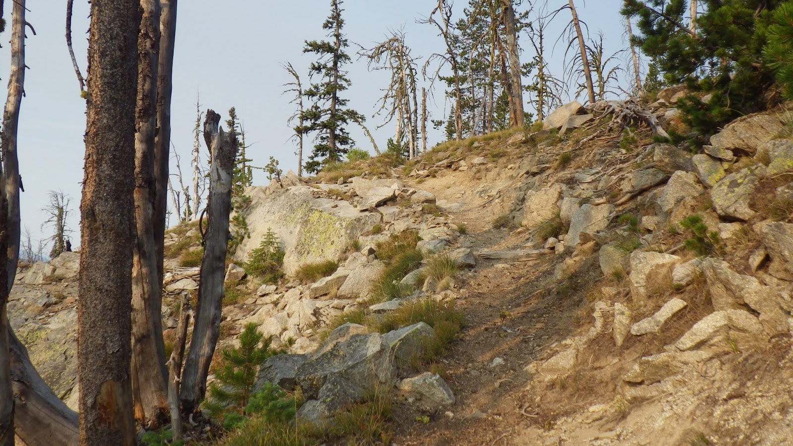
That direction led us almost straight up. We had to pick our way over and through brush and fallen trees, snags and rock formations. I began to get a little nervous when we reached a flat spot with no sign of the trail. It could have been that I needed to answer a call of nature though. Once that business was taken care of, I clambered right up to the trail.
When Ambrose was safely on the trail, I gave him a kiss and agreed to meet him where the trail met the spur up to the lookout. And then I was off, reveling in pushing my pace up the steep, rocky trail. I did pause to take in the views a few times, but I still made my way up to the junction in good time.
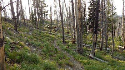 |
| We found the trail! |
 |
| Time to hike up, up, up. |
 |
| Looking back down to Sheepeater Lake. |
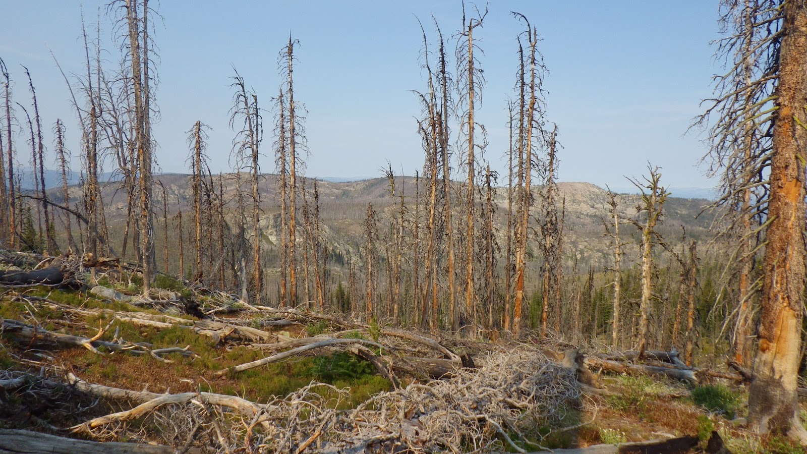
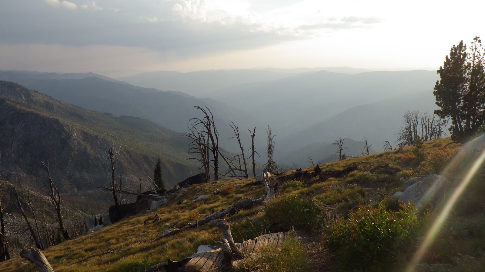
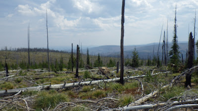
The day was a bit smoky. There wasn’t a lot of smell to the air, but distances were a bit blurry and the light of the day was flat. Even with the sun up, it wasn’t very bright out and I had a bit of trouble getting my camera to do what I wanted. It kept trying to go into sunset mode which completely changed the color palette of the view I was trying to capture.
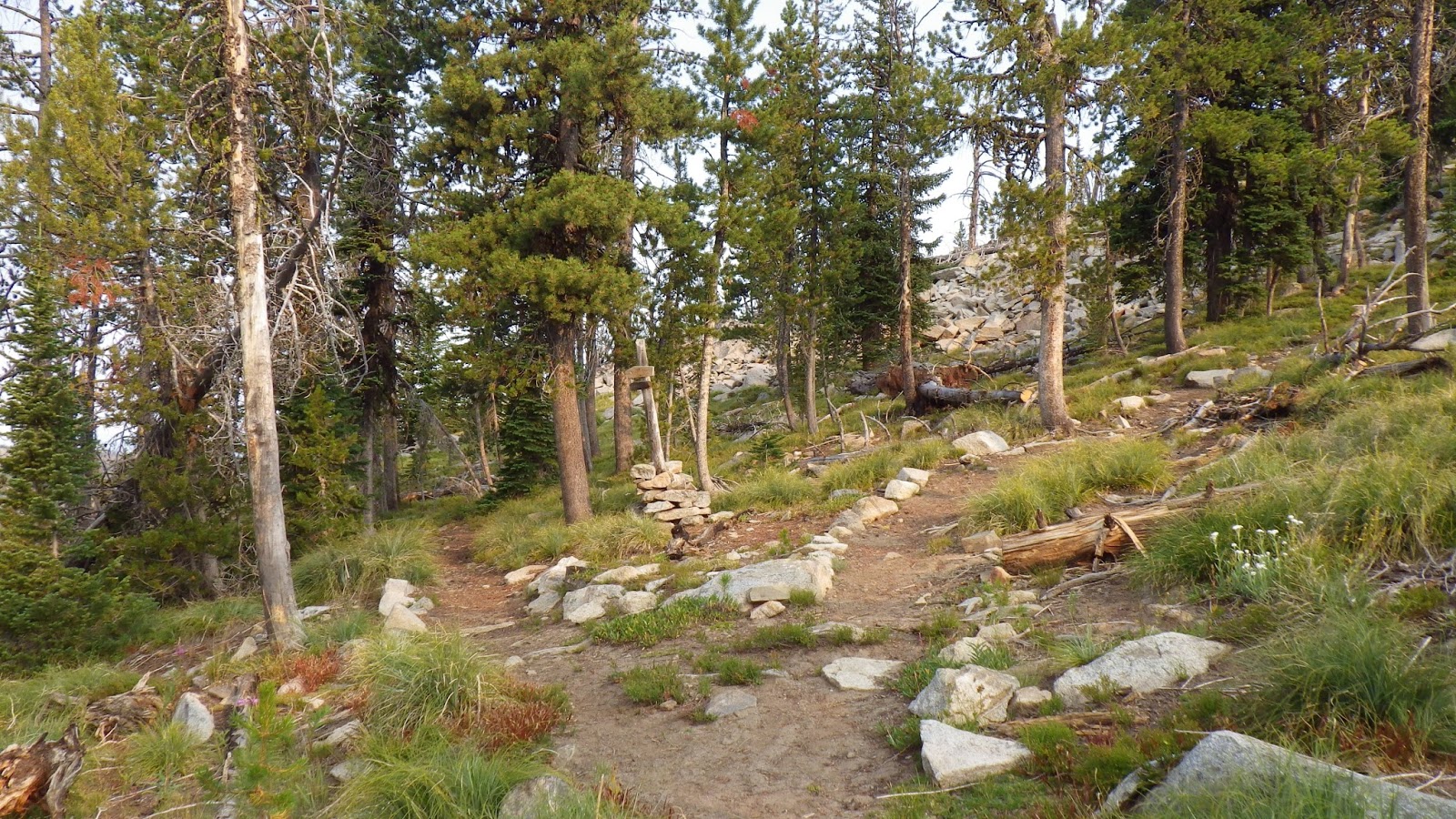
At the junction, I settled onto a rock and finished eating my breakfast while reading my Kindle. I spent some time on the guidebook and then read some fiction. It took Ambrose about twenty minutes to catch up to me, and then he needed some break time. Before we were ready to leave, the archaeological party came down from the lookout and we had another conversation.
 |
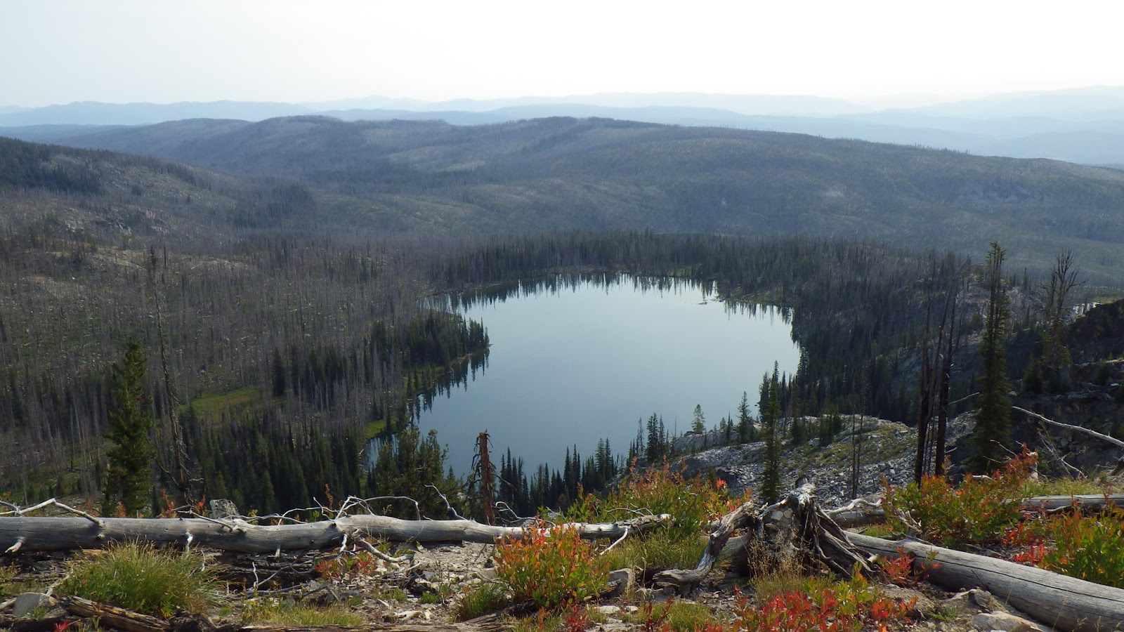
| The lake reflected the hazy white of the sky. |
 |
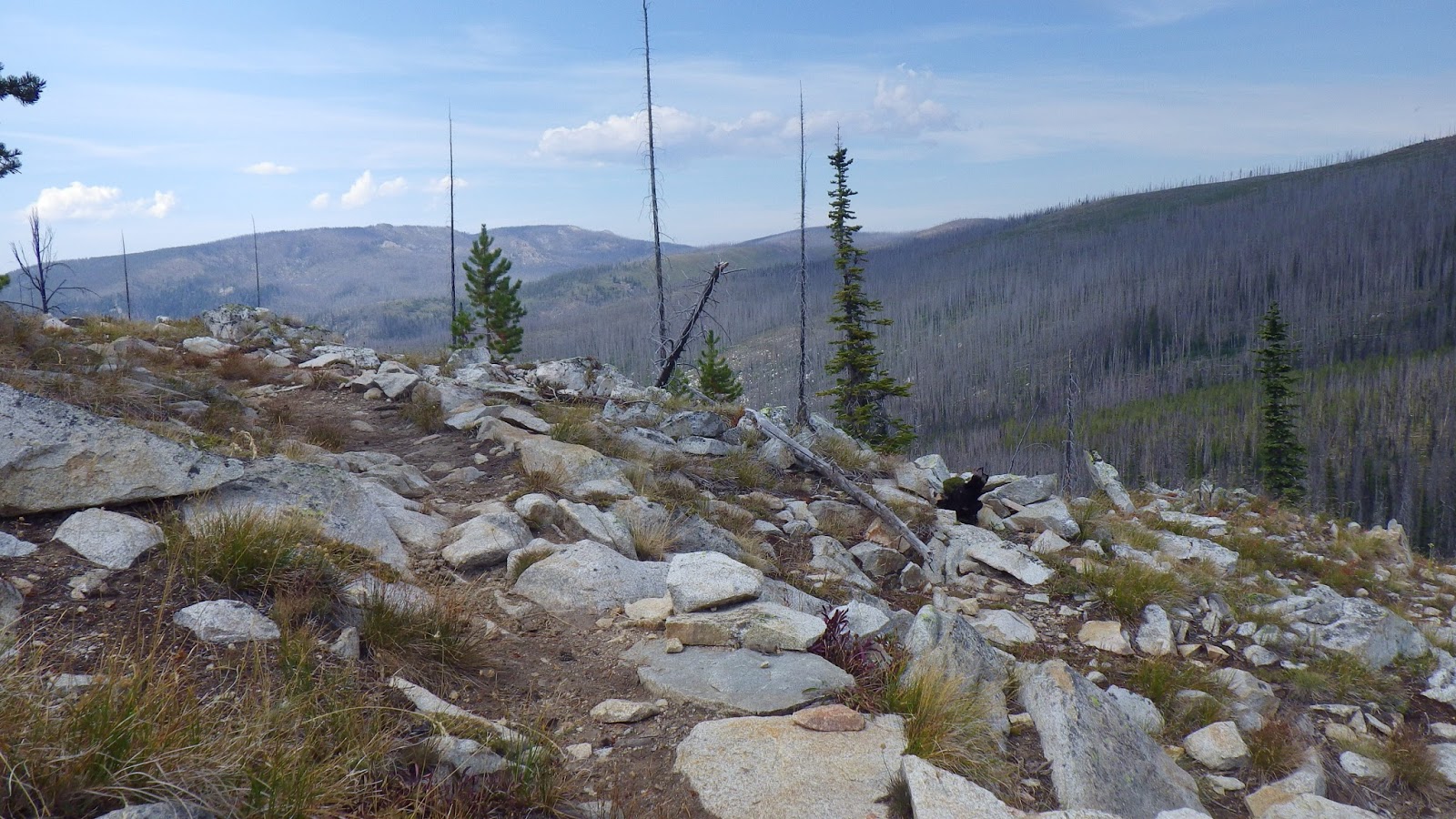
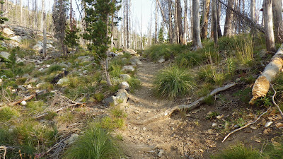
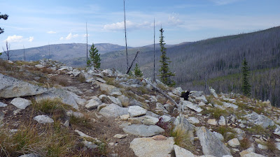
| The trail got rocky and steep just before topping out. |
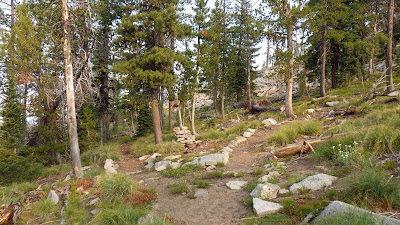 |
| To the right, the trail to the lookout; to the left, the trail to Chicken Peak. |
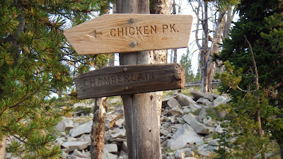 |
| Chicken Peak has a nice fresh sign. |
They were headed to a ridge on the Sheepeater Lake side of the mountain, while we were continuing on to Chicken Peak. We told them of our revised plan to camp about half a mile before Mosquito Springs, which they approved of. I did not mention our lack of a Chicken Peak map, though I was tempted to ask if they had some sort of map up at the lookout that I could snap a picture of.
We also talked about the forests and how some states are making old lookouts like Chicken Peak into recreational rentals, which Ambrose and I think is a fine idea. We spoke of how more people need to get out into wilderness areas so that they are concerned about their preservation. I let one of them know that her chest strap was twisted, because I knew I’d want to know if mine was, even with just a day pack on. She thanked me, and they headed off for their archaeological day trip.
A few minutes later Ambrose and I headed the opposite direction. We decided not to stop at the nearby spring the man had mentioned, because we had a good amount of water and wanted to get some miles under our boots. With our chatting and late start, we’d gone barely half a mile and it was almost ten.
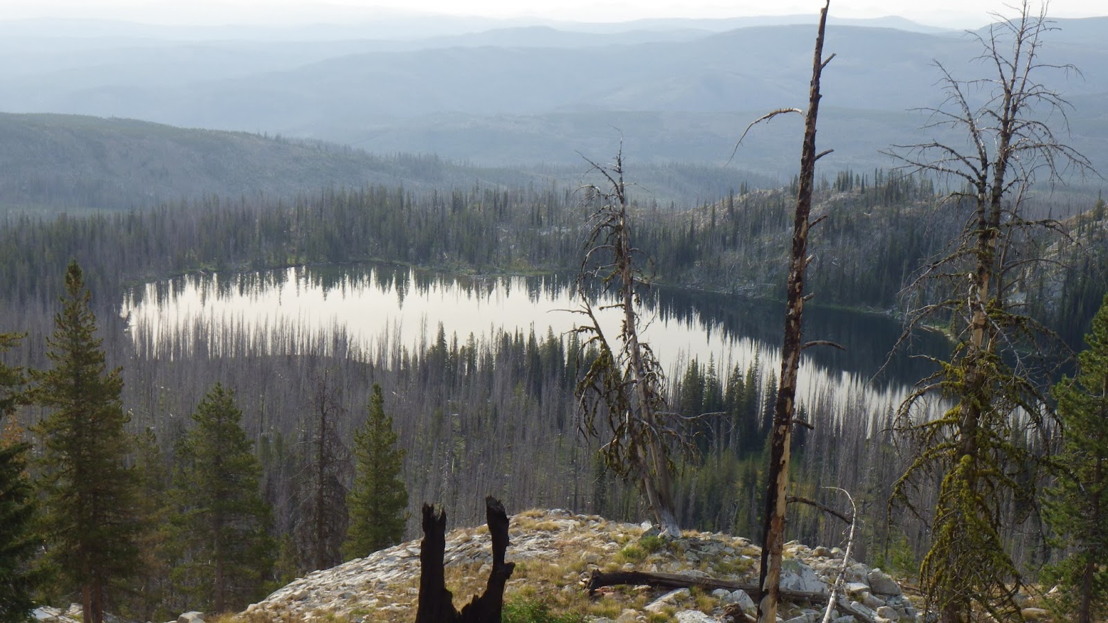
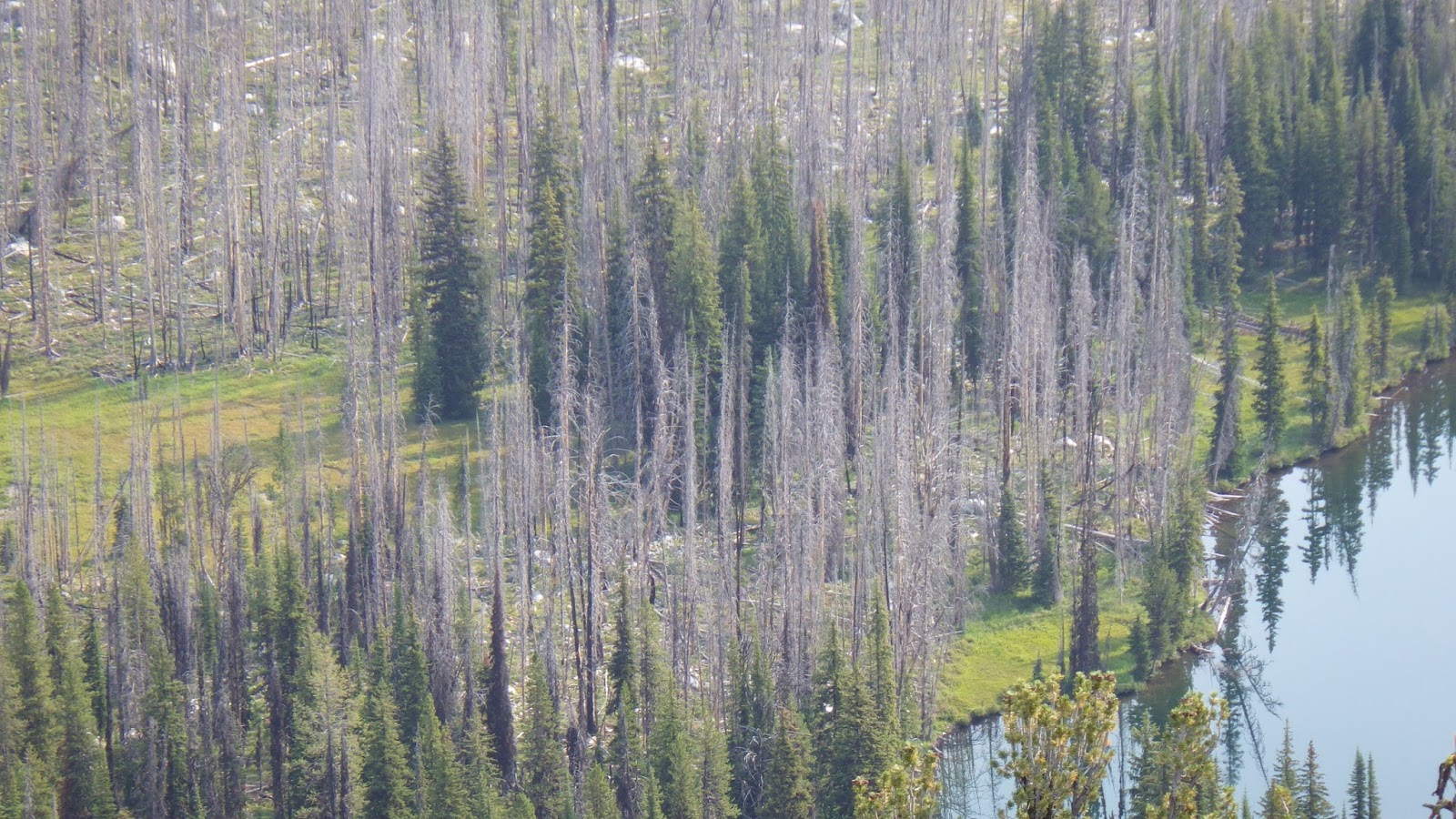
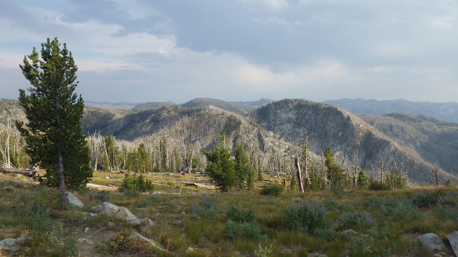
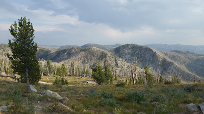
The trail was supposed to intersect with another trail not far from the lookout, but, once again, the map and guidebook were out of date. I saw no evidence of any intersection as we traversed the ridge above Sheepeater Lake. We were mostly on the west side of Sheepeater Ridge without any view of the lake, but the trail did top the ridge at times and I detoured to the edge to get more pictures.
 |
| We walked along Sheepeater Lake, on Sheepeater Ridge. |
 |
| The trail was easy to follow, and had many dead trees. |
 |
| I wonder if there’s water under this rock pathway in the spring. |
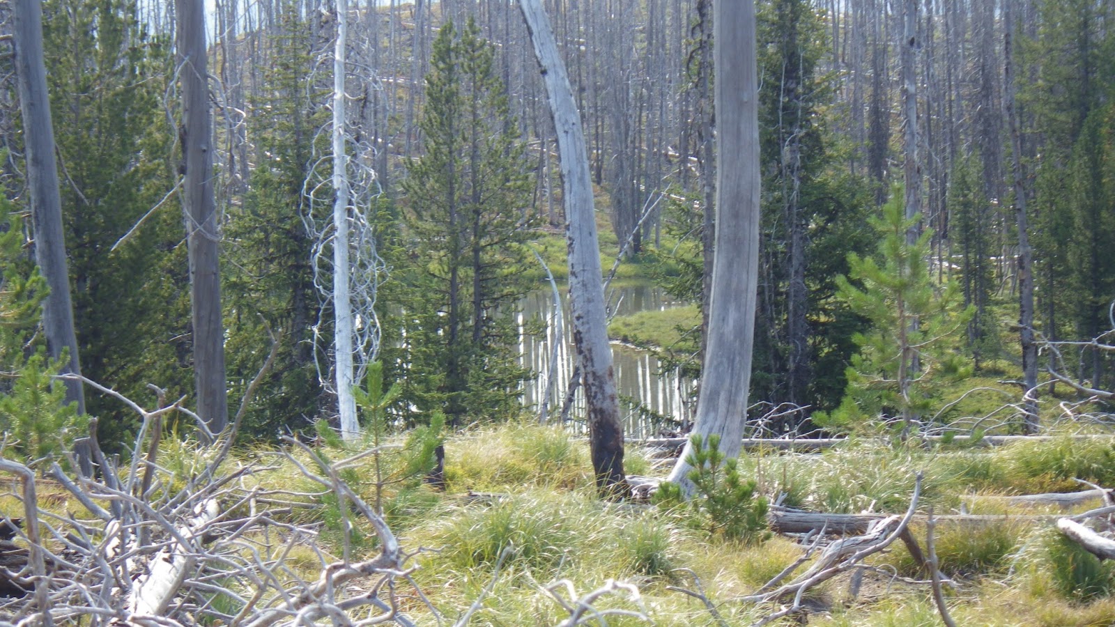
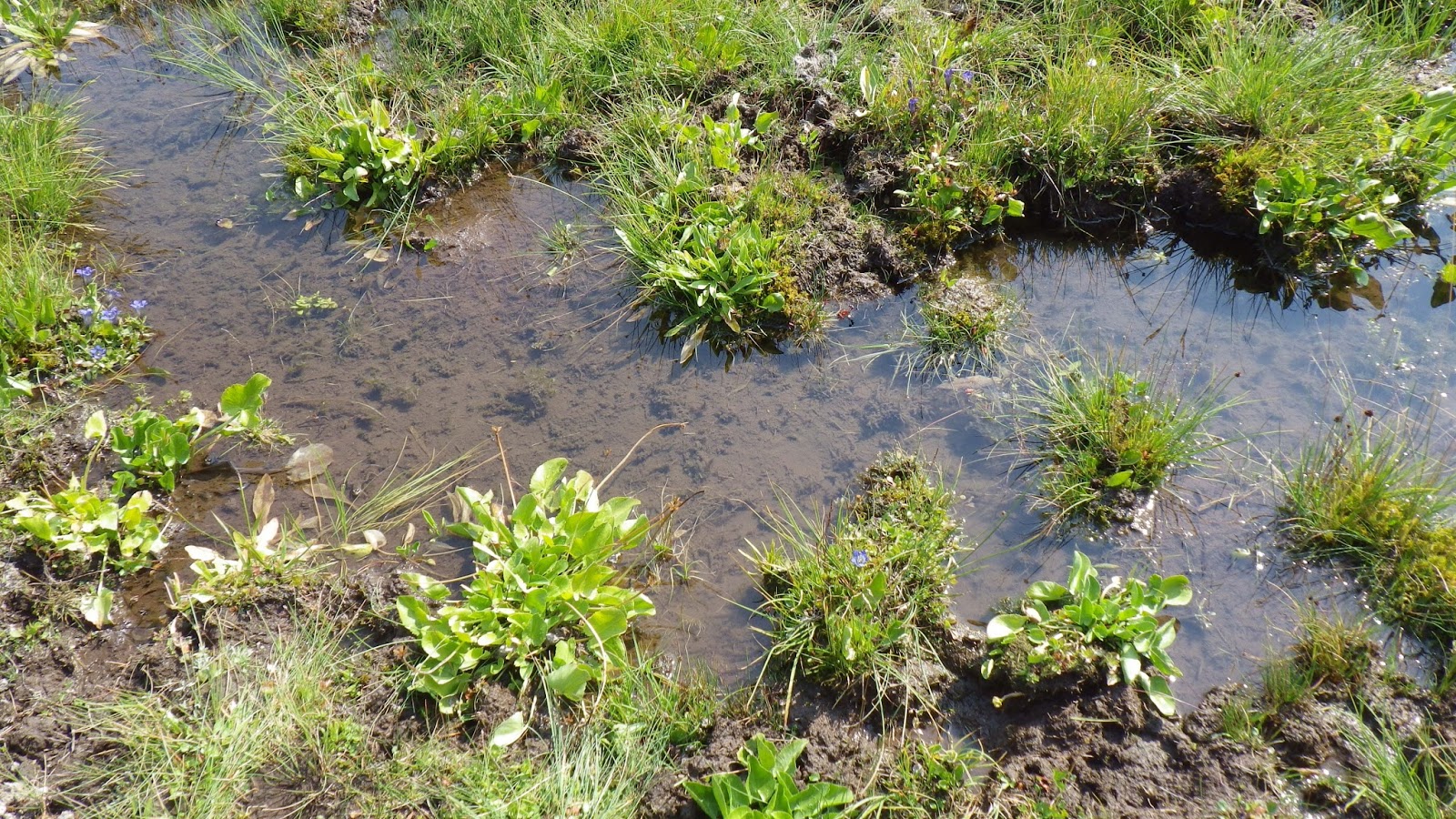
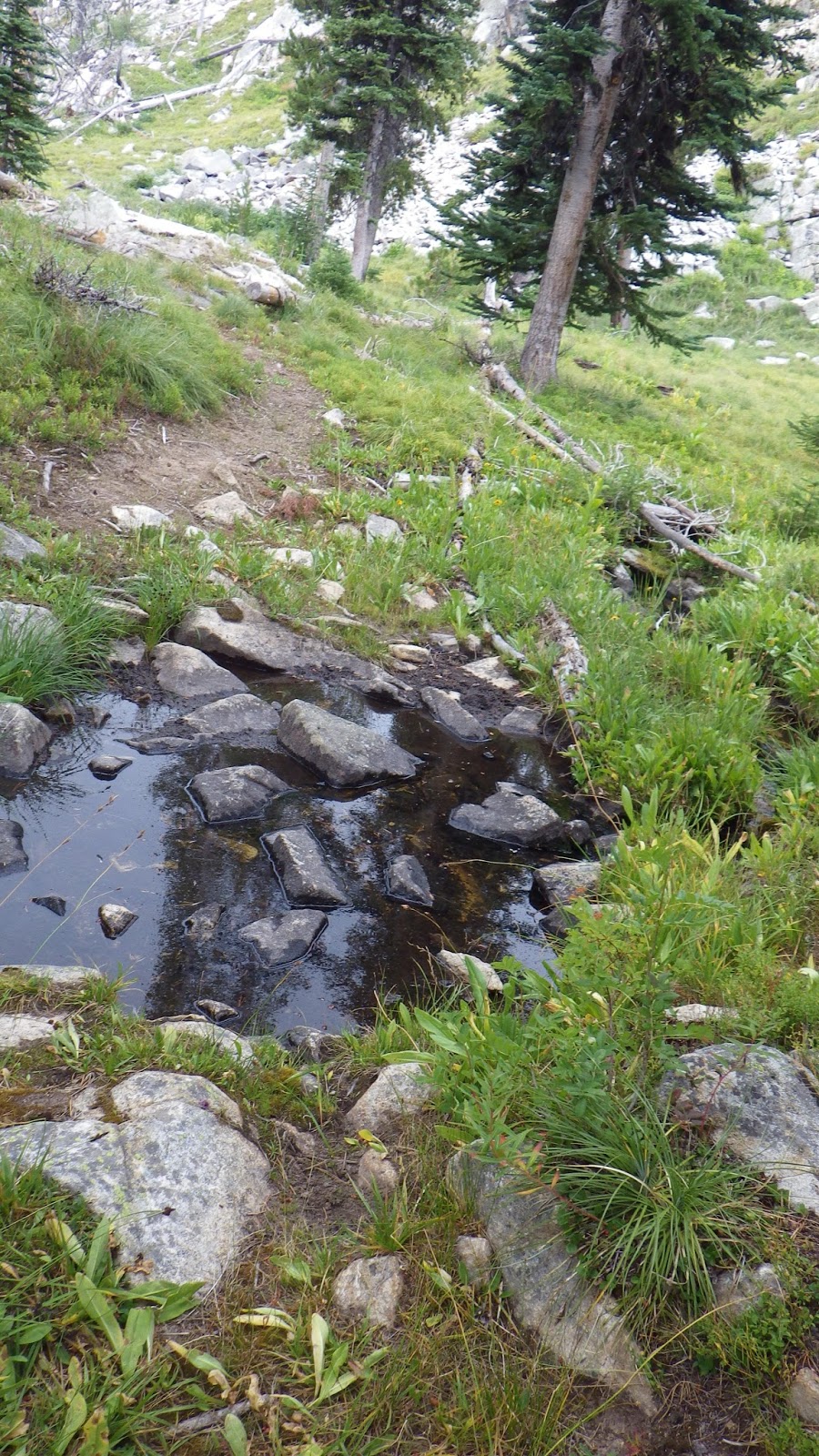
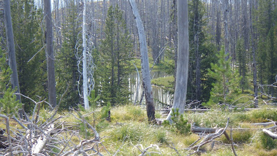
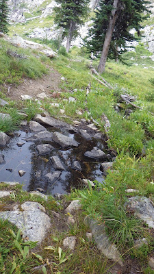
According to the guidebook, which I was using with a healthy dose of skepticism at this point, we would soon come to the last water for several miles. After we passed Sheepeater Lake, I saw the bog to the left of the trail as advertised. We did have to leave the trail to get to it, but without it we wouldn’t have water for lunch, when lunchtime came.
 |
| Another angle on Sheepeater Lake. |
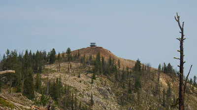 |
| Last view of the Sheepeater Lookout. |
 |
| We camped somewhere in there, closer to the meadow than the water. |
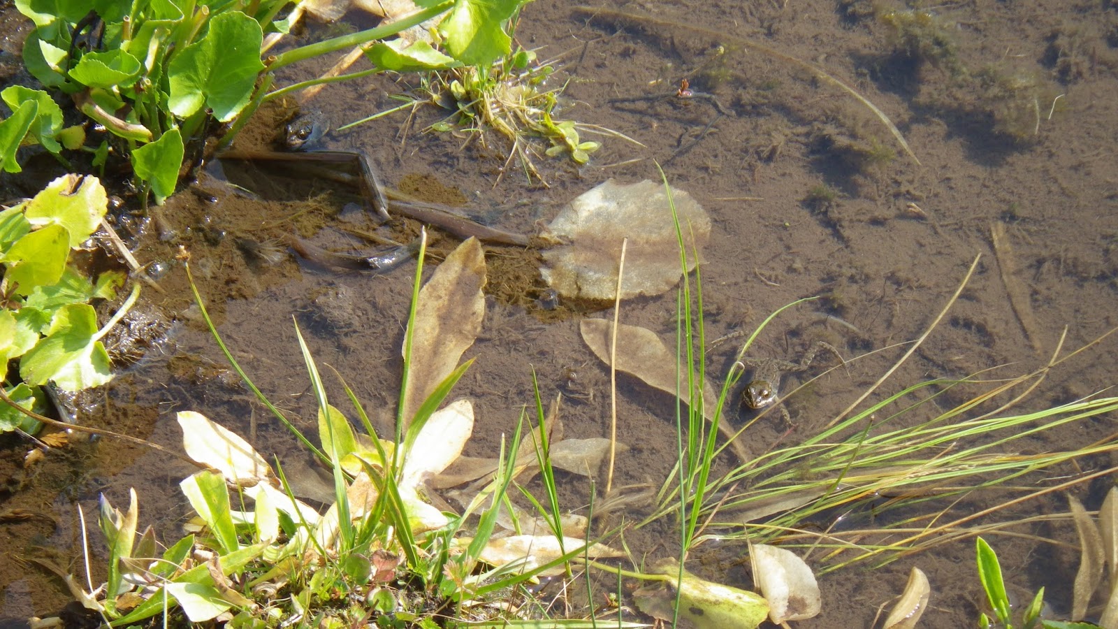
So it was another delay as I filled water bags at a frog filled stream not far from the edge of the bog and Ambrose filtered us both some coconut water before filling our water bottles with what we’d need for lunch – and of course we both topped off our water bladders. I also drained a blister on Ambrose’s toe, a gross but necessary task that gave him less pain while walking.
 |
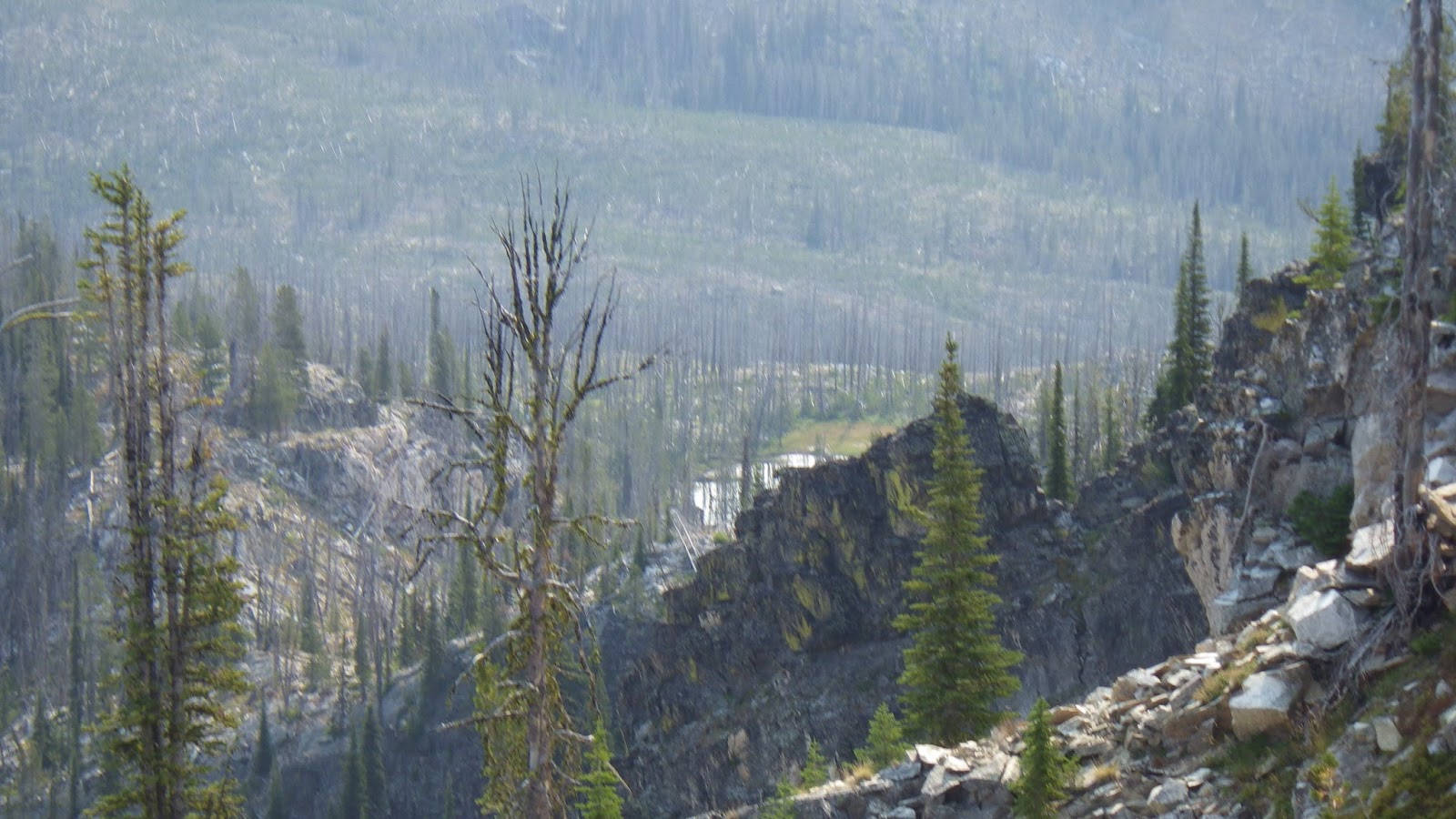
| A barely visible lake on the other side of a ridge from Sheepeater. |
 |
| The little lake that would give us our lunch water. |
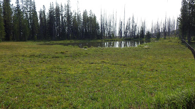 |
| I’m sure in the spring this would be a complete bog. |
Ambrose was inclined to eat lunch right there, but I wanted to get some more distance, one more 50 minute segment of walking before eating. I was already feeling the time pressure when we left the pretty bog around 11:30. I wasn’t feeling it as much as I should have though, because I didn’t have the topo map of Chicken Peak. I didn’t know just how hard the trail was going to get.
 |
| Bog flower. |
 |
| This is where I got our water from. |
 |
| Also I caught a frog. And then let him go. |
 |
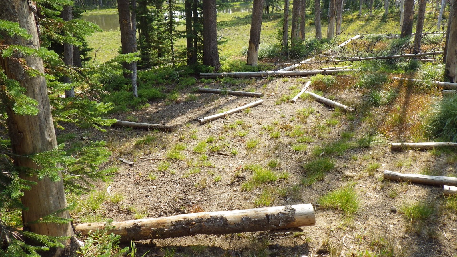
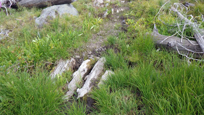
| It looked like someone had camped here in the past. Plus we saw horse droppings. |
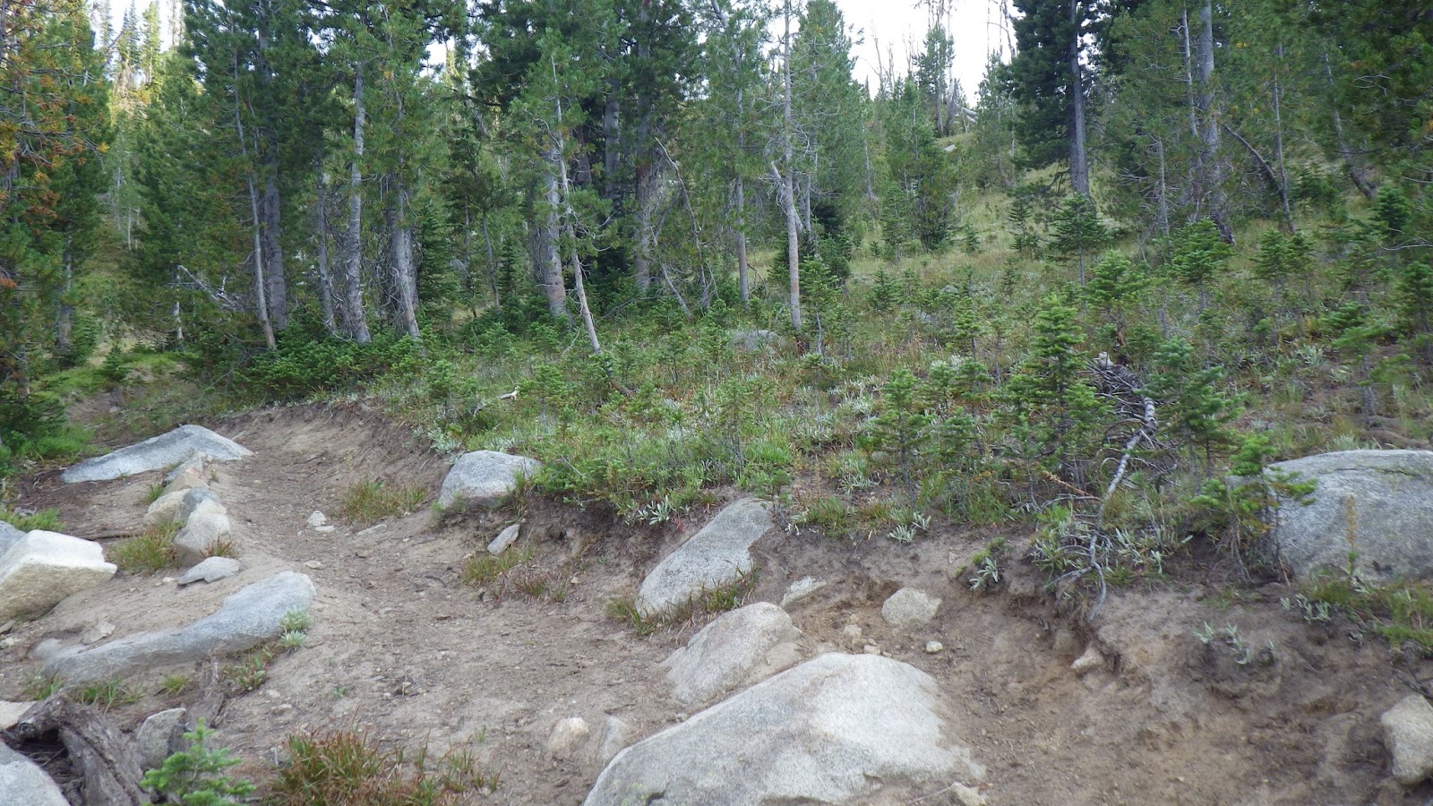
In the next segment, I walked ahead of Ambrose, planning on finding a nice place to have lunch. I passed through burned out sections with little shade and green sections. I found a place where it almost looked like the trail took a detour to the left. It might have been nice camping if there was water nearby. I stopped there and waited for Ambrose to catch up so he would know where I was going – just in case those trails did lead elsewhere.
It wasn’t quite 50 minutes after we left the bog, but I found the perfect place to eat lunch. The area was flat and fully shaded. I settled down and got comfortable with my socks and boots off. I leaned against my backpack and read while I prepared lunch and waited for Ambrose. I was facing the trail so I could hail him and not let him pass me by.
 |
| I don’t know why the trail seems to take a detour to go in circles. |
He arrived and ate lunch without much dilly dallying. He was ready to go before I was and set off without me. That was okay, we both knew I could catch him. So I took a bit more time to relax and read and let my socks dry out. But then the sun displaced the shade I was resting in so I got going.
I matched up a feature I could see ahead with the map. It was a big square jut of rock ahead to my right. When I caught up to Ambrose I showed it to him and he agreed that was it. We were down to less than 2 miles before we left our topo map and began to rely solely on the GPS and the guidebook.
 |
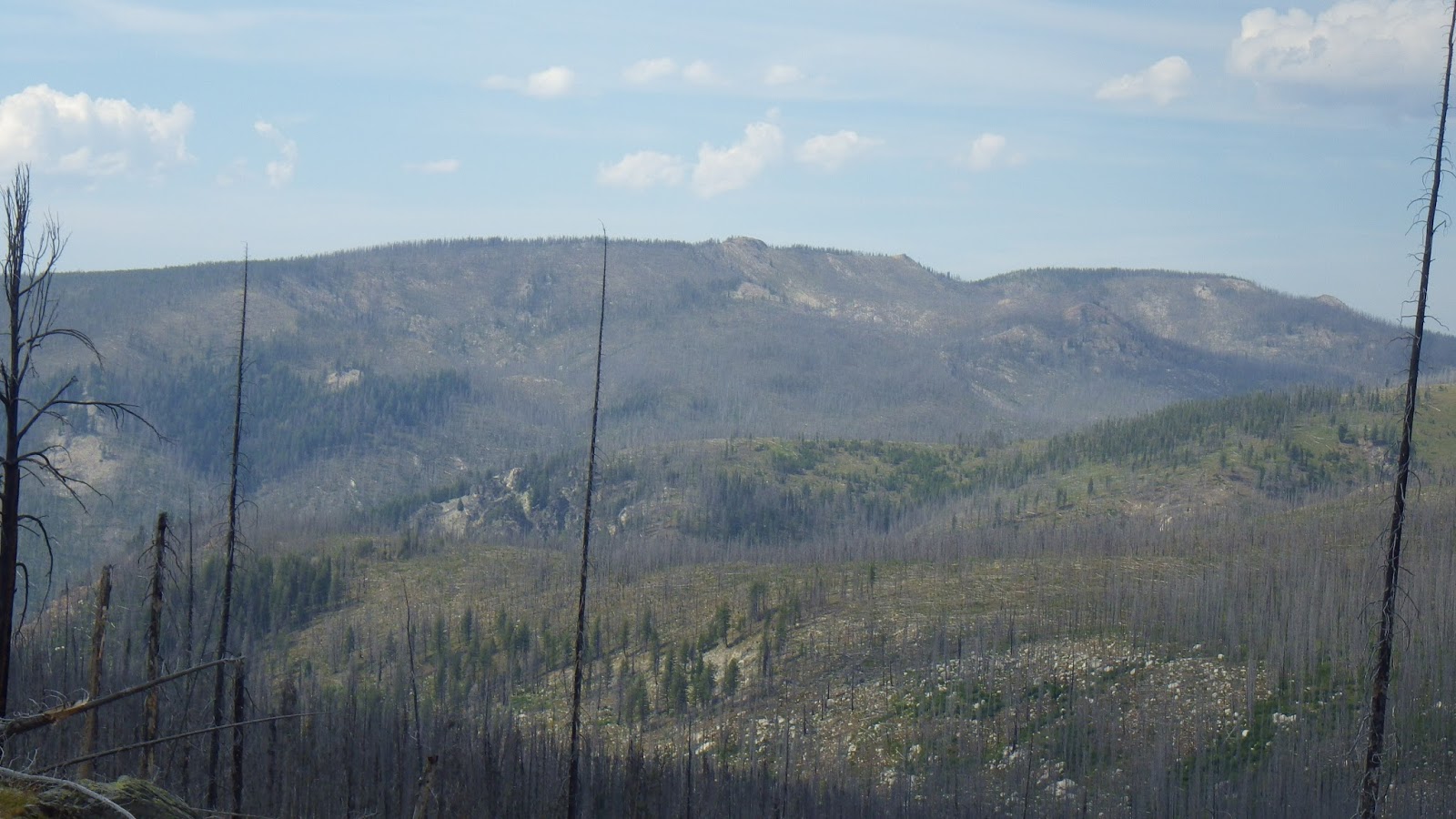
| One advantage to the dead trees was being able to see more geographic features. |
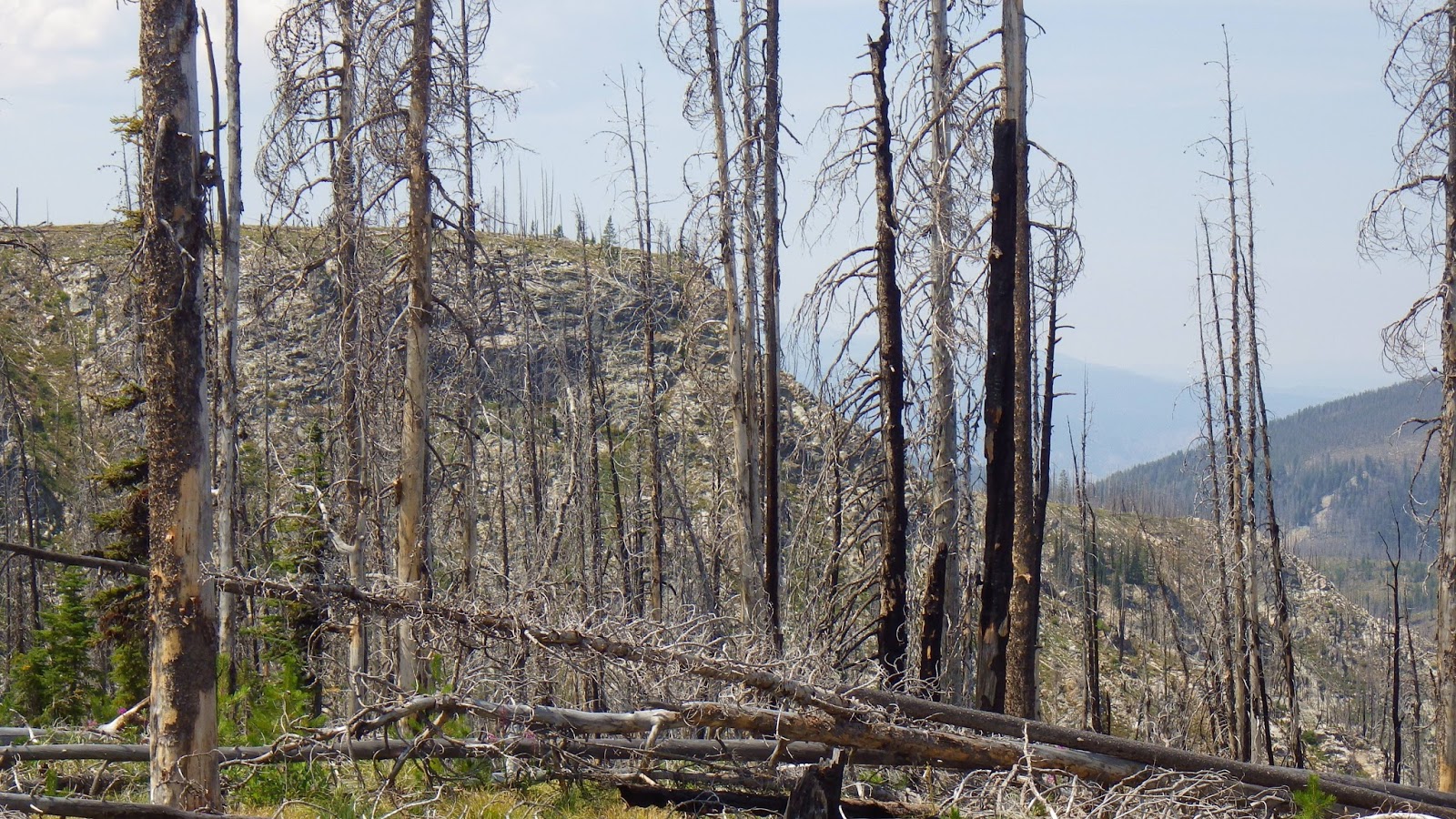
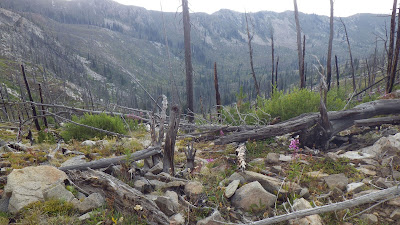
I hiked past him through recovering burned land, short trees and tall, bare trunks providing little shade. I sweated and sometimes thought with a smile about how dirty and smelly I was. I typically don’t hike with shorts because I like to keep all the trail gunk out of my boots, but this trip had such hot days that I unzipped my pant legs and emptied my boots of dirt, leaves and rocks at every stop. As a result, my calves were so covered in dirt they hardly needed sunblock.
The trail began to switchback down to a saddle where there should be another trail junction. And I discovered a pleasant surprise – water! Neither the map nor the guidebook indicated that there would be water here, but here it undeniably was. Not a very deep flow, but deep enough to scoop up some water to wet my head and cool off.
I did a water refill and waited for Ambrose. He did a water top off when he arrived and then I moved off, trying to get some more mileage before our next 50 minute segment was up. I managed to find some shade at the bottom of a set of long switchbacks. And I found myself needing to answer another call of nature. Earlier in the day, I’d had one and put my pack just off the trail. Ambrose walked right by it and only noticed he had passed me when I called out to say hello to him. This time I put my pack right in the center of the trail so he wouldn’t miss it if he arrived before I was done.
 |
| The hazy day became a cloudy day. |
 |
| We approached a saddle and could see down into the valley. |
So of course, he didn’t get there until well after I was back on the trail, lounging on the grass, snacking and reading. We didn’t take a long stop there, but we both know the importance of taking breaks on a backpacking trip. That’s why I was setting my alarm to make us stop every hour or so. It’s amazing how much more energetic I’ve felt taking regular breaks.
I decided to stay a bit closer to Ambrose because he was concerned about a looming mass of dark clouds off to our right. They began to rumble at us on occasion, which felt ominous and also exciting. I didn’t really want to be caught in a thunderstorm on a ridge, but it would have been a new experience.
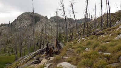
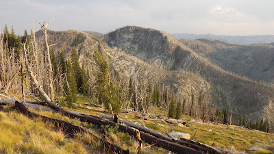
We reached the saddle, more old burn terrain, and I kept an eye out for the trail junction we were supposed to pass. I saw not a single trace of any junction, let alone the four way junction that was advertised on the map. After the saddle, according to the guidebook, we would ascend 8 switchbacks. Ambrose and I counted them as we climbed them. I stayed within a switchback of him since we both felt a few raindrops. The dark clouds were overhead now and still rumbling.
 |
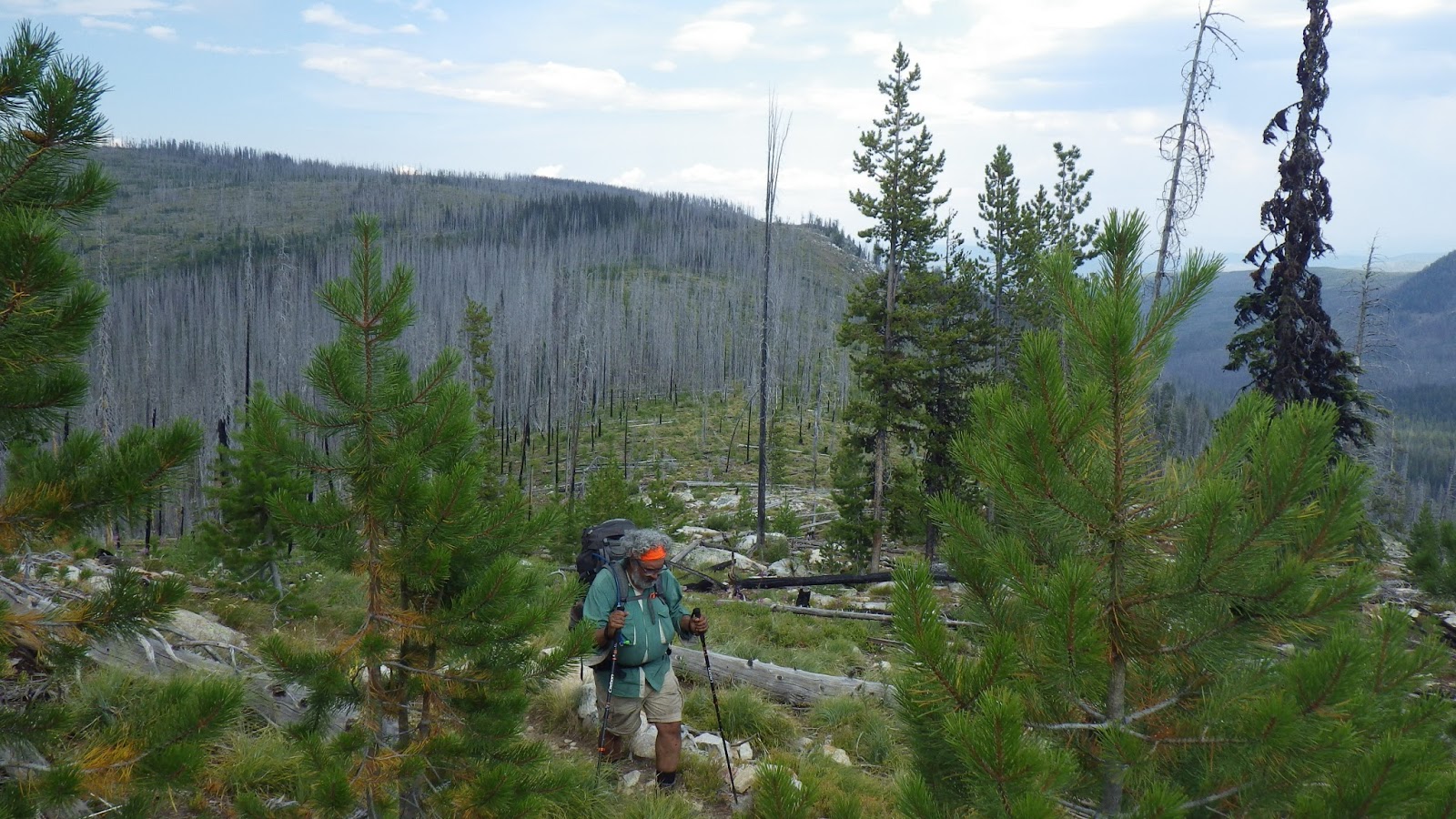
| Ambrose coming up the switchbacks. |
 |
| Half the sky was blue and the other half was dark with clouds. |
 |
| I loved seeing the distance views, the enormity of the landscape spread before my eyes. |
It was around here that I took the GPS duties over from Ambrose. Part of my reasoning was that I wanted to get familiar with it, to play with the new toy. And, perhaps a larger part was that whenever Ambrose turned on the GPS, he slowed down. I did not need him to be slowing down. Not with rain threatening and the hours slipping by and an unknown distance to our campsite for the night.
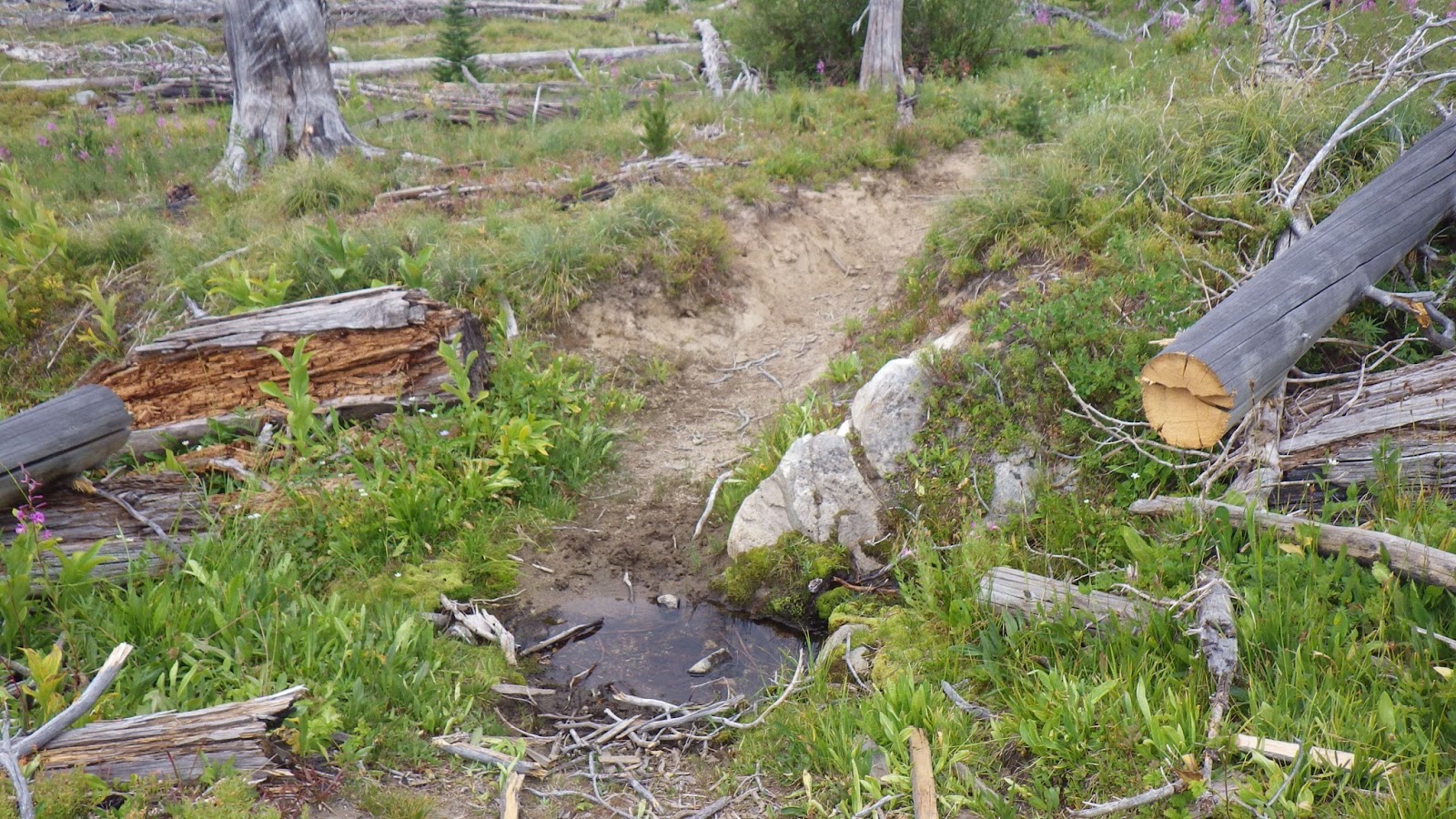
I didn’t count 8 switchbacks. More like 10. We regained elevation and hiked along a rocky ridge. The guidebook claimed we’d reach a spring after a quick descent of 100 feet. That spring was just about the last point on our topo map, so I wasn’t exactly eager to reach it. Once we passed it, we would be off map.
I didn’t see a lot of good places to quickly pitch our tent in case of a downpour. Ambrose said that the closest flat place to pitch a tent is always the trail itself, but I wasn’t so sure about it. The trail was rocky and narrow. It would not be a pretty pitch or a comfortable stay in the tent, but lacking a better place we would pitch on it. I was still hoping that the downpour would hold off.
I confirmed with the GPS as we headed down to the place where we should find the spring that we had descended about 100 feet. And I could see from the green growth that there would be water.
There just wasn’t much of it.
For a spring the guidebook called steady, it was a disappointment. In an emergency, yes, we could have gotten water from the stagnant mud flat, but it was not. We walked on past it, comfortable because there should be additional springs not far ahead. Four more, according to the guidebook before we reached the saddle for Chicken Peak.
 |
| It’s… not what I was expecting. |
 |
| The next water was even more muddy. (It’s under those logs.) |
I was hoping to wash my hair at one of the springs, but of course, the sun was hiding behind dark clouds and it was a bit cold for hair washing. Still, I was getting a headache from not washing my hair (I don’t know why they happen, but they reliably do around day 4 of not showering). I needed to wash it or endure an ever increasing headache.
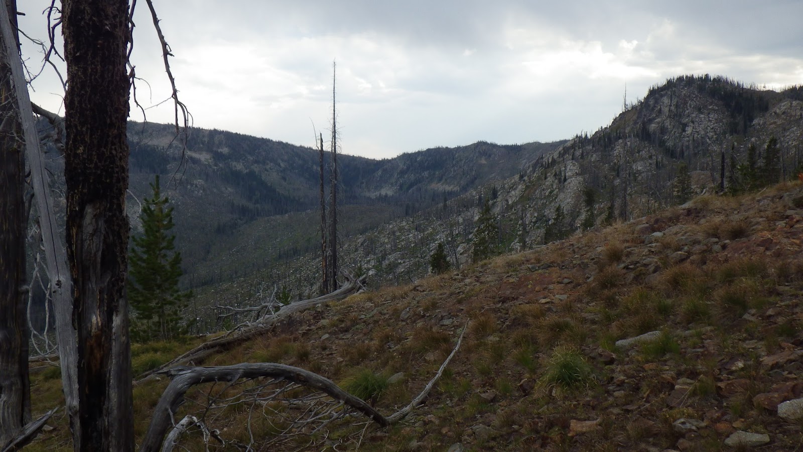
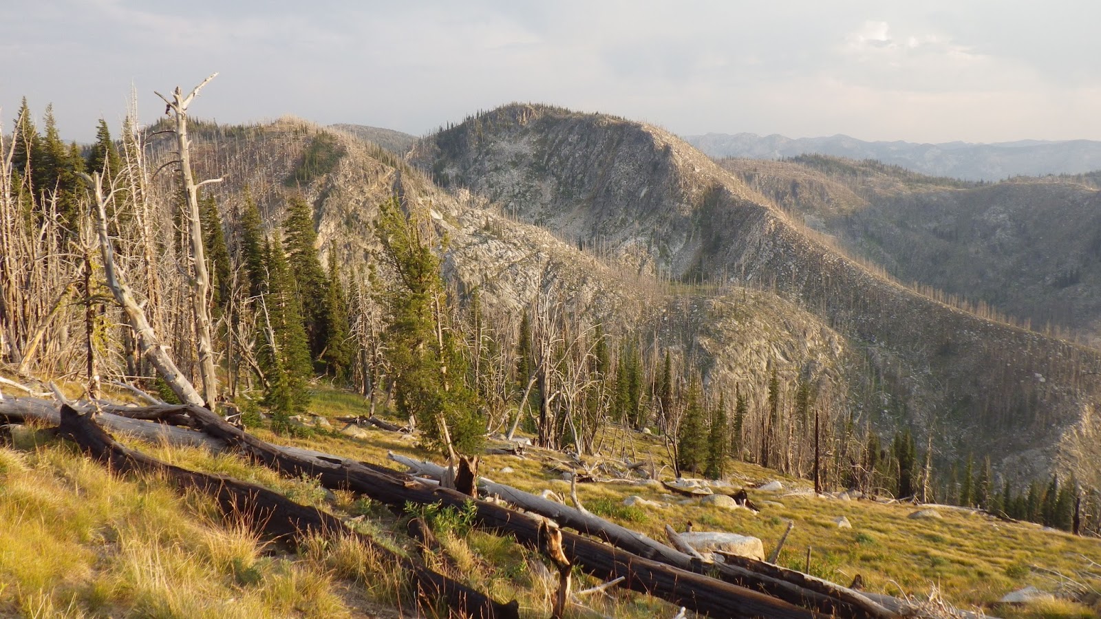
We traversed a rocky ridge. The trail climbed up and down and I thought about stopping here or there, just because it was already feeling like a long day. But we had a plan. It should only be another couple miles.
At the last spring, I stopped and did a quick hair wash. It wasn’t as thorough as I would have preferred, but there was no time to stop and heat water or wait for it to warm to something better than freezing. Ambrose rested a bit while I started and then walked on without me while I finished. We really should have filled up on water there, but we didn’t.
 |
| Yup, there’s enough water there to scoop up for a quick hair washing up the trail. |
 |
| Another chipmunk. |
 |
| The dark clouds threatening to burst open. |
According to the guidebook, we just had a little more traversing until we would be able to see Chicken Peak. And then just a little bit farther until we reached a saddle and switched to the west side of the ridge. I’d evaluate that particular part of the guidebook as “mostly kinda correct.”
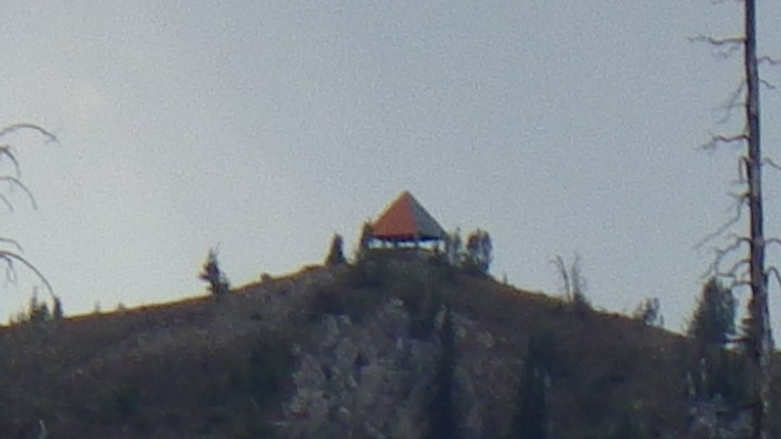
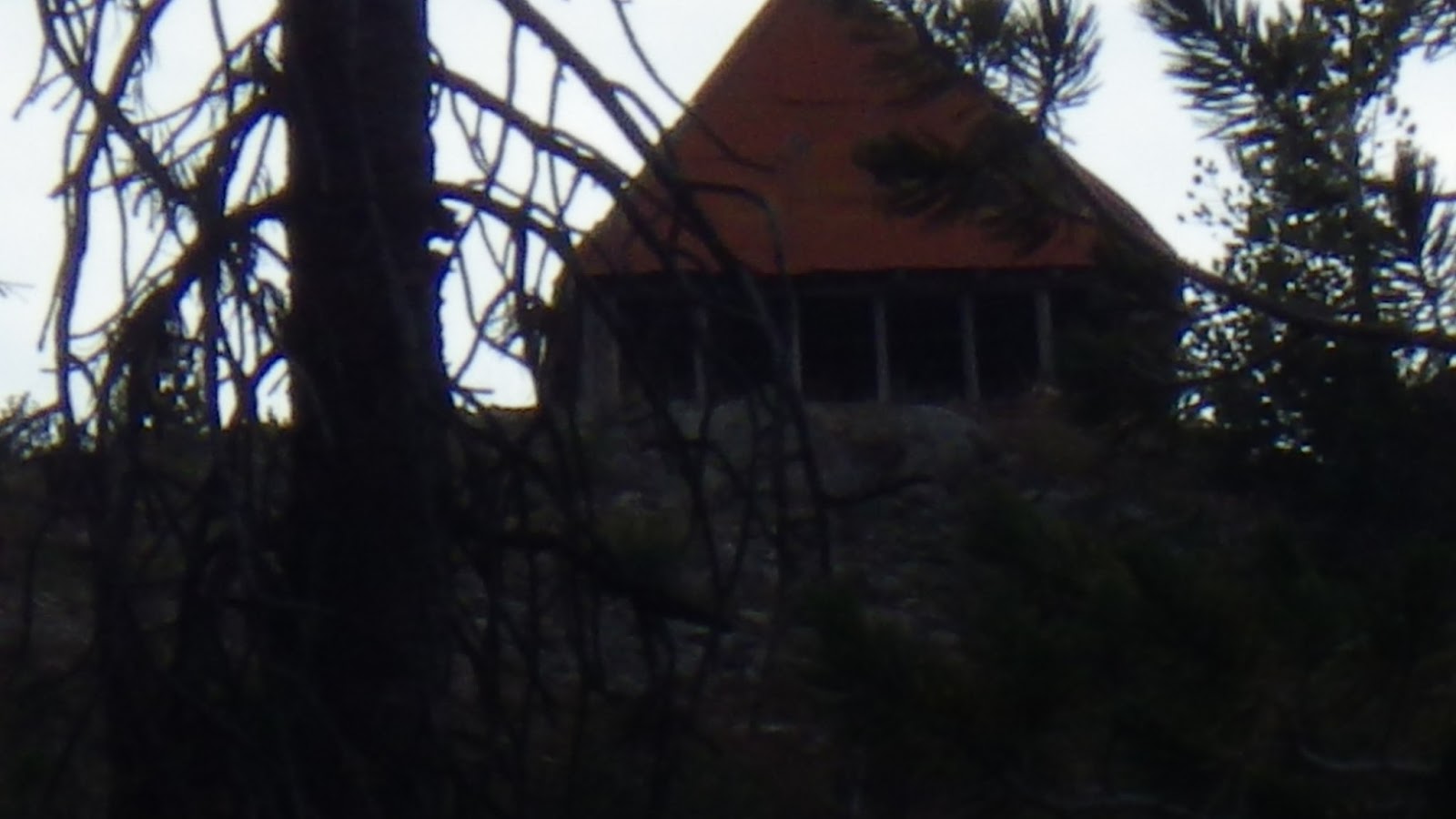
We had a long climb until we could see the distinctive orange of the roof of the old lookout station on Chicken Peak. A few switchbacks up the ridge and I finally spotted the saddle. We made our way there, passing by a nice sized pond that was only a couple hundred feet straight down. Since Ambrose was running low on water I told him I’d wait while he went and got some, but for some reason he declined my generous offer.
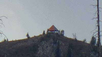 |
| Chicken Peak! |
 |
| But we still had a long way to go to reach it. |
The view from the saddle was incredible, but also a bit terrifying, because we actually had a long way to go, including a good deal of up. At this point, we were both running low on water. But we had to keep going. The next water was Chicken Spring, on the other side of Chicken Peak. And our campsite would be another couple of miles beyond that, according to the guidebook.
The sun broke out from behind the clouds. We hiked by golden light that painted the plants and flowers with delicate highlights. There were still dark clouds to the east, but they no longer threatened to burst on us. We traversed around three separate little peaks. I paused and waited for Ambrose more frequently until we reached the switchbacks.
 |
| The threat of rain faded away in golden light. |
 |
| But there was still so much walking to do. |
 |
| More switchbacks, up nearly to the top of Chicken Peak. |
On those final switchbacks up to the Chicken Peak saddle, I went for speed. I wanted to get there, to be at our campsite NOW. I could feel the wind growing stronger, and colder, as I got closer to the top. Just before I topped out, I saw a huge snow bank. I suppose we could have used that for water, but neither of us wanted to take the trouble to melt it.
The Chicken Peak lookout was very close from the saddle, but I was not tempted to visit it. My feet were sore and daylight was slipping away. I waited for Ambrose and rested myself. I snacked to prepare for the next push of a half mile (according to the guidebook) down to Chicken Spring.
 |
| I was really close to Chicken Peak. |
 |
| Why yes, there was still snow up here on August 17th. |
 |
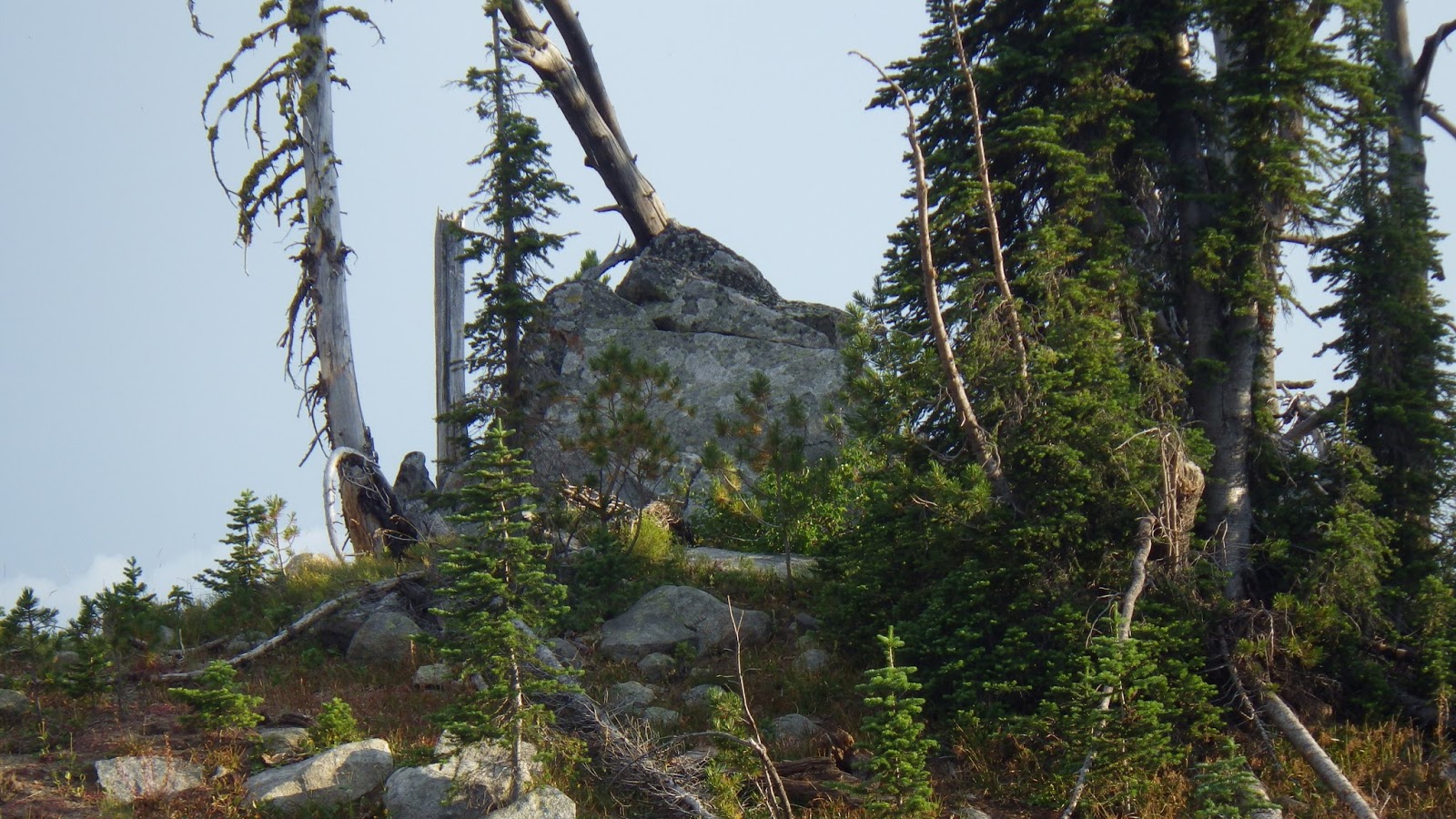
| I couldn’t tell if these were a tumble or rocks or an old, broken down structure. |
Ambrose didn’t pause for long when he arrived. The sunset was entering preliminary stages. We hiked on.
The trail began a series of long, frustrating switchbacks. At one point, when I was below Ambrose, I thought he should cut the switchback. I knew it was a long hike and he was running low on reserves. But he stayed on the trail, as a backpacker should.
 |
| The other side of the Chicken Peak saddle. |
 |
| I really should have climbed up there to visit, but I was so tired. |
 |
| I loved how the sunlight through the clouds painted the landscape, but sunset was coming too quickly. |
When I reached Chicken Spring I was a little disappointed. Sure, it was running water, and it wasn’t muddy, but the flow had a lot of debris and algae in it, which would not be easy on our filters. And filling my pot to fill the water bag required a lot of hunkering down on my sore legs and feet. I actually thought it might not be the spring because it was so small, but it was water, and we needed it. After my experience with the water on the second day, I made sure to scout up trail for a better water source but this was it.
 |
| The trail is close below, but I have to switchback pretty far to get to it. |
 |
| We might be running late, but it’s beautiful. |
 |
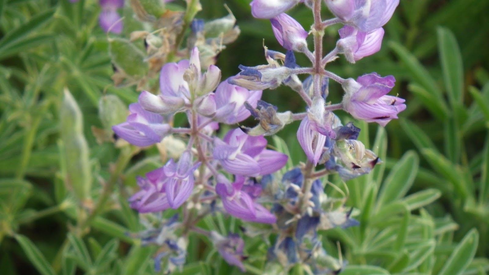
| These flowers grew near Chicken Spring. |
Ambrose arrived and dropped his pack in preparation for getting water. According to the guidebook, there was no place to camp near Chicken Spring. And, to be fair, there really isn’t a GOOD place to camp. But with darkness getting ready to fall, we found a flat enough, just big enough spot just off the trail. One person would get to sleep on a couple of humps of grass, and the other would be getting out of the tent nearly into a pine tree, but I thought I could make it work.
Ambrose cooked dinner while I pitched the tent. Not my prettiest pitch, but a good one, taking advantage of the space available. Ambrose got to have the grass humps, because that side of the tent was downhill, and I’ve learned that when we are in a tent together on a slight slope, it’s a lot easier to have the heavier person already at the low point in the tent. The good thing was he liked it because one of the humps was under his head and acted as a pillow.
We didn’t have enough room in the tent or the vestibules for our packs, so they were both stuck in a big, black plastic garbage bag and leaned against a tree. The bag was to protect them in case of rain – so of course it didn’t rain.
We ate dinner in the tent and I wrote my fiction words while the moon rose. That night, I didn’t read very much before dropping off to sleep. It had been a long day and we were still off our topo maps and would be for a good portion of the next day.