On this trip, we were using the alarm function of the GPS to wake up. I mean, sometimes Ambrose would wake up before the alarm, but he is kind enough to wait for the alarm to wake me up. We agreed on 4:30 am for this first full day of hiking. We wanted to get started early enough to make it to a nice spot to wait out the morning tide instead of having the tide choose a spot for us.
I got up and got moving at the alarm. Not in a hurry, but not lollygagging either. I didn’t feel like I was rushing at any time, but we somehow managed to be just about ready to go in about 75 minutes. That was just about perfect as the sky held just enough light for us to not need headlamps as we started to hike, though I was glad I didn’t need to use the privy. I mean, I had checked on it the day before and made sure it was usable (in 2018, the privy had collapsed and was unusable), but I didn’t fancy going up in the morning.
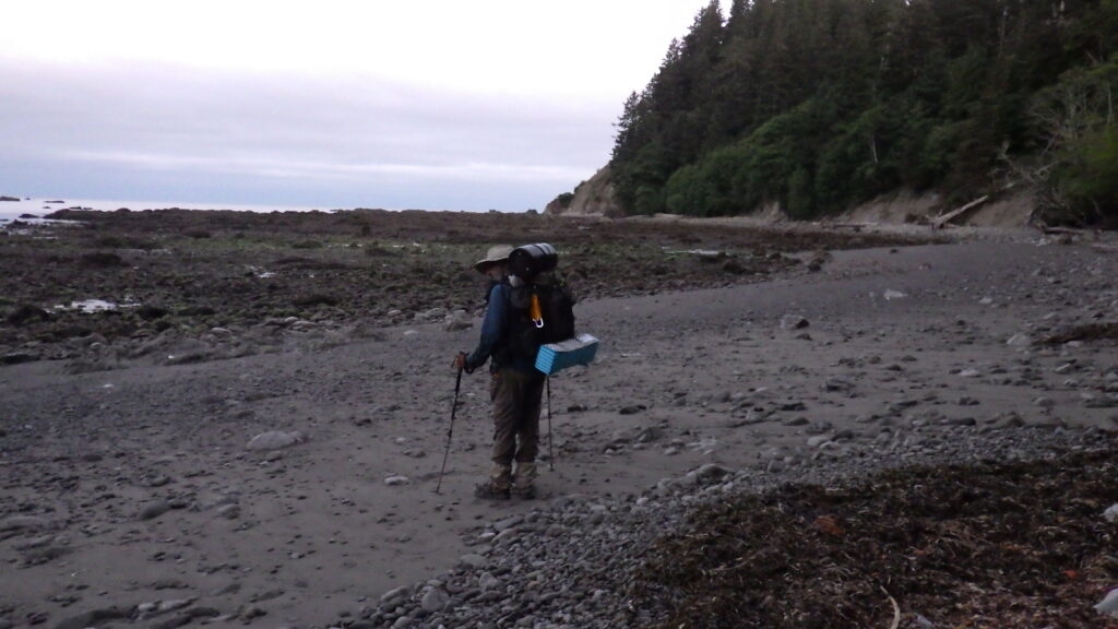
There were a number of other campers on the beach, but only a few were even stirring as we left. Ambrose led the way across the beach. The person in the lead on this hike has to use more brain power than the person following. There can be a multitude of routes through the rocky points, and some of them dead end. The lead tries to pick the best path, and that means evaluating the landscape ahead frequently.
A bit more than a week before we started this trip, Ambrose and I took a day hike up to Cuddy Mountain. He didn’t expect to make it to the top, but he did. And then, on the way down, he fell twice and sprained his ankle.
Of course, he didn’t use the word “sprain” when he told me about it. He had merely “rolled” his ankle. It was “sore.” But once we were safely on the beach, it was revealed that he had actually sprained his ankle. I trusted that he knew how to care for it well enough to keep hiking, and he was doing well so far. But one of the things that I could do to help him with this injury was to take that lead.
Since he had an injury that needed consideration, I took my lead responsibilities further. I was not just finding the path that would work best for me, but the path that would work best for my injured partner. That meant limiting the up and down climbing, finding the flattest, safest path, and, when climbing became necessary, finding the climbs with the best footing.
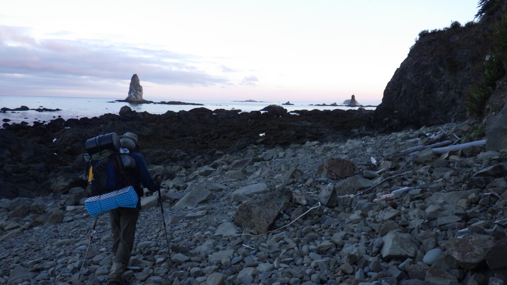
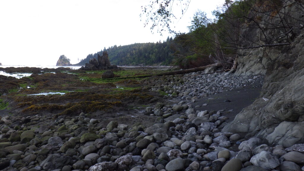
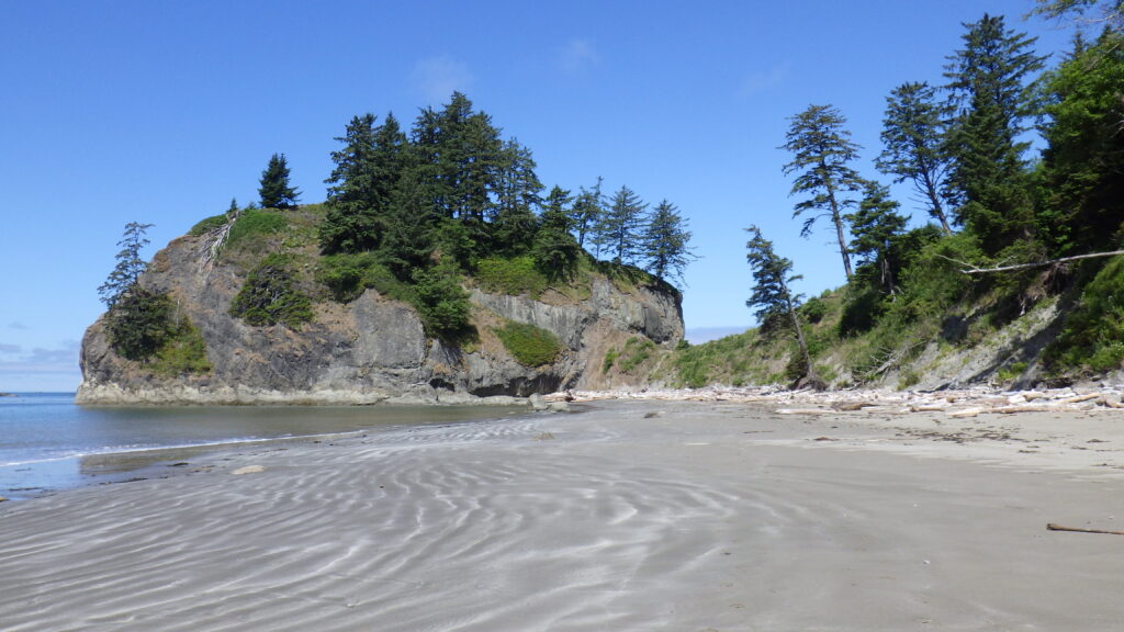
But Ambrose was feeling good this morning, so he brought us around Cape Johnson, which is what I would call “rough beach.” Mostly flat, but the surface is large rocks, sometimes ankle rolling size, other times bigger. They slide and crunch under the feet. There were also fallen trees and logs to navigate, though not too many.
The last trip we took, we ended up staying on the beach past Cape Johnson, because the tide at the time was rising. This year, we didn’t need to stay there. The tide was still very low, which allowed us to continue hiking.
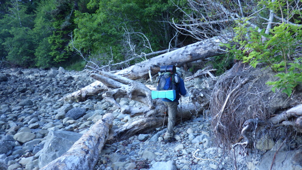
Before too long, we came upon the first overland trail that we’d ever taken together. In the past, it had been necessary to take because there were scattered trees and logs that would make going around extremely difficult. This year, it was clear the overland was falling apart and starting to slide into the ocean. I wouldn’t be surprised to see the whole thing gone the next time we get out there.
But we were able to climb the rope and make our way over to the spot where we had lunch the very first time we came to the coast. It was absolutely a poor choice for stopping, but that’s what we did. This year, we chose to continue hiking a bit more.
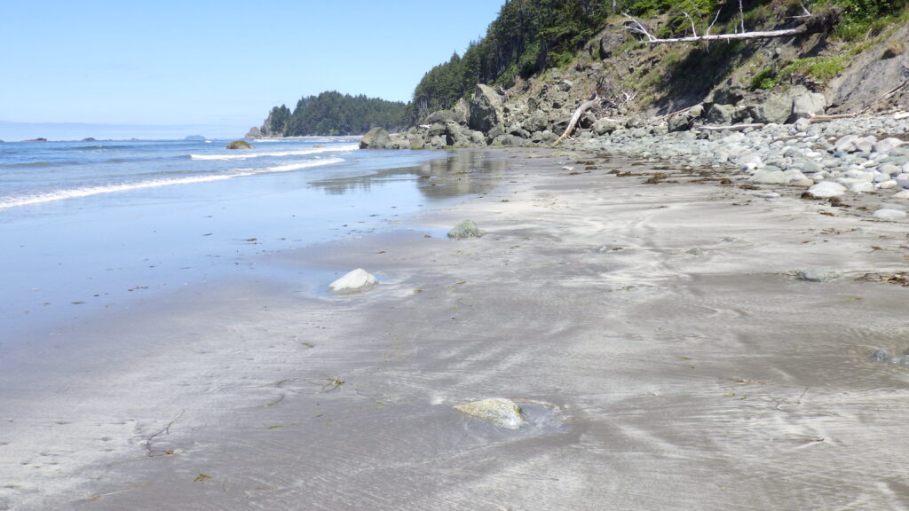
We hiked on past where we ended up having to stop for the tide that first year. Or a spot that looked like it. It’s kind of hard to be certain after 8 years. I mean, the original alcove might have been obliterated in that amount of time. Then the rough stuff ended and we were back on lovely damp sand.
This beach was where we planned to spend the high tide. And not one moment too soon for me, because my pack repair from the day before was failing. I’d started out with an arc on my pack, but it hadn’t lasted more than an hour at best. My shoulders were killing me, and I was ready not only for a break, but a chance to improve the repair.
Ambrose and I hiked nearly to the end of the beach, walking over several fresh water streams making their way to the ocean. The sand was perfect for hiking, damp and firm. The overland trail was just visible ahead, and got closer quickly.
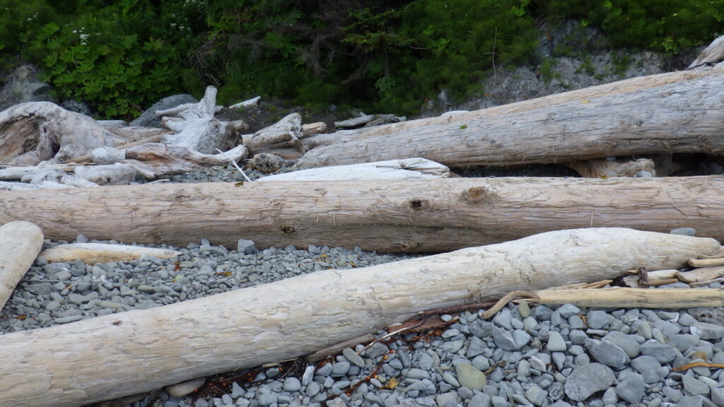
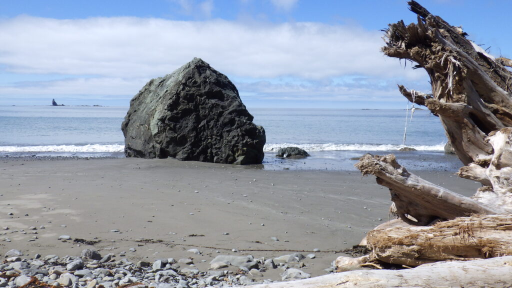
We chose a spot where driftwood logs had piled up in front of and on top of a small freshwater stream. There was a perfect little niche where we could settle, one log behind as a backrest, another in front to help block the wind. And settle we did.
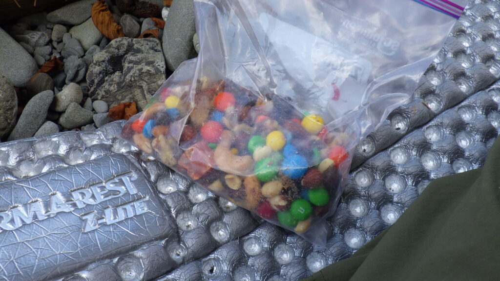
On this trip, for the first time, we were using closed-cell foam pads instead of our typical inflatable pads. And right here, for the first time, we really started exploiting their use as sitting pads. They get packed onto the outside of the pack, so they’re ideal to take out during a tide wait. Since the space here was small, I copied Ambrose’s technique of folding the pad in half to get extra cushioning from the rocks below.
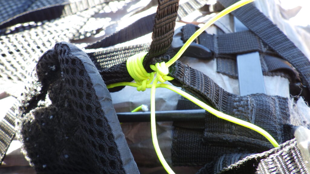
Then I emptied out the rest of my pack. I had to empty it completely in order to address the pack repair that had failed this morning. The loops that I’d thought I’d tied so very tightly had stretched out to at least four times the length they’d started at in the morning. But at least the knot that created a whole new loop was holding strong. I picked the stretched out knots open and re-tied them as tightly as I could.
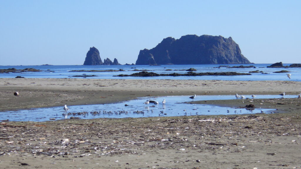
We also snacked while we waited, and watched the landscape, especially the ocean. At one point, Ambrose saw a whale breaching. I missed it, but then when I was looking I saw a whale spout that he missed. So it evened out. There looked to be a pod far offshore from where we were sitting.
Once the sun came out, I spread my sleeping quilt out to catch air and light. It was only damp, not wet, but we were here. Might as well dry it out now. Dry gear weighs less, after all.
Two pairs of backpackers hiked past us and over the roped section as we waited. While the tide was not swamping this beach, they were going to have to wait elsewhere or have a very rough hike. We watched and waited. High tide passed, and the water didn’t even come within 20 feet of our driftwood hideout.
We waited a bit after that, but not too much longer. Then it was time to pack up and get going. My pack repair held when I heaved it onto my back, but I also made a change to how I was cinching down my packtop. I have what is essentially a fanny pack that I can strap on top of my pack. Typically, I’d cinch it down nice and tight, but I noticed that put pressure on the pack in the opposite direction of the arc. By tightening the packtop, I was fighting my gear repair. So I left it looser with criss crossed straps instead.
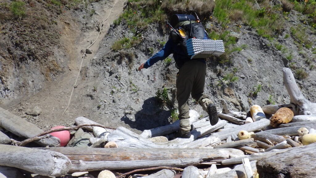
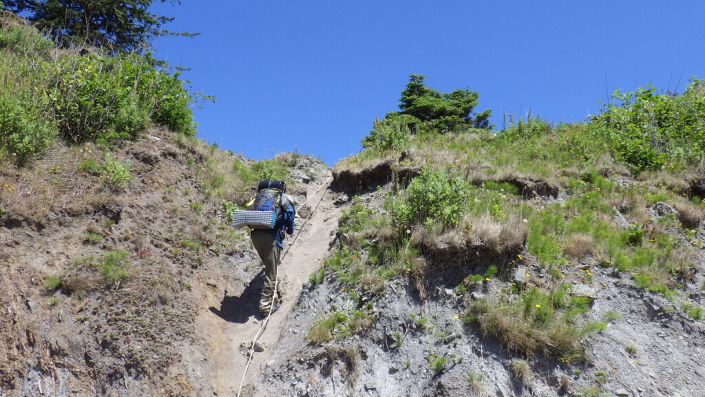
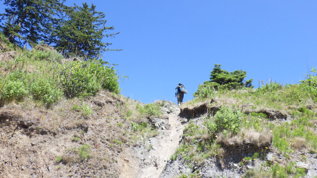
After a short hike along the nice damp sand, it was time for the mandatory overland trail. The tide never goes low enough to allow hikers to walk around this point, so there is a roped trail (maybe during a tsunami the water would go down far enough, but I don’t want to witness that, thank you). The trail goes over the lowest point in a little notch. As far as roped trails go, it’s not bad. Steep, but secure.
I gave Ambrose the GoPro when we got to the base so he could go up first and then film me coming up. He’s usually the one in all the pictures when we hike, so on this trip he made a special effort to ask for the camera more. And I was a bit pushy about getting him to take the camera, too.
We both made it up and over as easily as I could expect considering the weights of our packs. We both put our trekking poles away into our packs for this one. Not having to deal with trekking poles while using the rope is helpful. The poles can get caught on things even if you aren’t trying to use them, which can cause falls. No bueno!
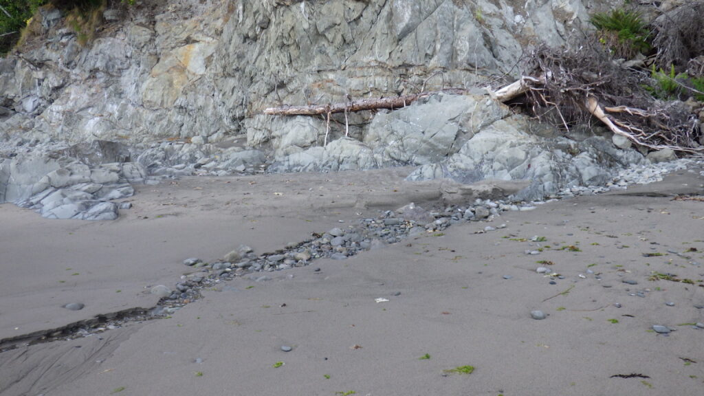
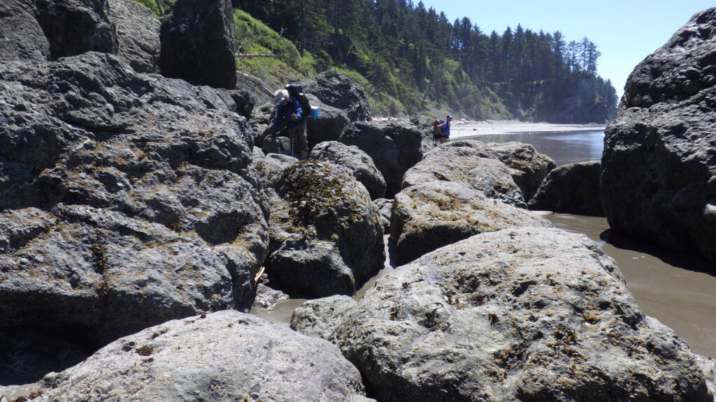
The other side of the notch revealed a lovely sandy beach. Hard to tell if it had been completely swamped by the high tide or not, but it was dry and easy hiking now. However, it did not last. We ran into a rocky section that we had to do a bit of rock scrambling on. And then another, but this one was going to be a lot tougher scrambling.
Since we still had 8 full days of food in our packs, it was time to wait for the tide to reveal a better path. On this part of the beach, we knew such a path was only a matter of waiting. After we’d dropped packs, I went exploring with my camera to show just what that section looked like, and why we were choosing to wait rather than press on.
We hadn’t waited our full twenty minutes before another pair of hikers came by. They thought it looked fine to pass, and started to forge ahead. Ambrose and I figured it was close enough and followed them. I took the lead to show the best way to my route, which got around the first tide swirl, but not the second. The other pair just went ahead and got their feet a bit wet, rushing through a spot as the waves were withdrawing.
It was good enough for them, and it ended up good enough for Ambrose and I as well. We broke through to the next beach, which was Keyostia Beach. Not that we ever call it that. It’s ‘Norwegian Memorial’ for camping purposes. I’m calling the creek Norwegian Creek for lack of another name showing up on any maps I can find right now.
We had a nice damp sand walk to the freshwater, and then we started looking for a campsite. The original plan for tonight had been Cedar Creek, but the ranger at the WIC had told us the site reservations only mattered in the “quota area” which stretched from (I think) South Sandpoint to Cape Alava. Something like that. North of Norwegian for sure or I wouldn’t have felt good about skipping Cedar.
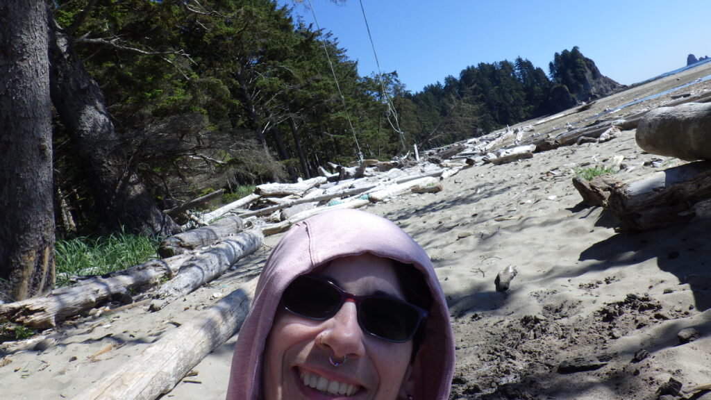
We didn’t go too far past the creek before finding an unoccupied spot to take. And it had a swing out front in the sand! I love the swings that people set up along the beaches with things that have been brought ashore by the tide (ropes, buoys, in this case driftwood).
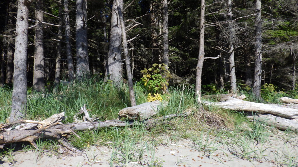
First decision: sleep on the sand or back in the woods? The campsites there mostly had that option, with an area of tide-free soft sand in front of a wooded section with meandering little trails and flat spaces aplenty. We hadn’t had a great time in the “sand” the night before, but Chilean’s beach is not like Norwegian’s.
After some exploration, we chose a spot in the trees, because the ground there was actually pretty sandy and soft. The sand stakes stuck well and the surface felt cozy beneath my foam pad.
We spent the remainder of the evening hanging out and watching the tide finish receding and start to come back in.
I had to fix my pack again. The pieces I’d tied to bind the loops together just kept stretching out, so I needed to retie them again, yet tighter. I just had to spend some time on the swing, with Ambrose filming by my request. We did some people watching and even a bit of people talking.
I didn’t hear the full story until later, but one guy spoke with Ambrose a bit, claiming to be a badass who’d hiked the whole North Coast Trail and knew everything about it. They only spoke for a bit, because Ambrose actually has hiked the whole trail and while he wouldn’t claim to know everything about it, it was quickly clear that he knew more than this braggart.
Neither of us stayed up for the sunset, because it was going to be a long day the next day. We’d get a warm up walk for about half a mile on the nice sand, and then be in for the roughest section of the whole trail. A good night’s sleep would help.