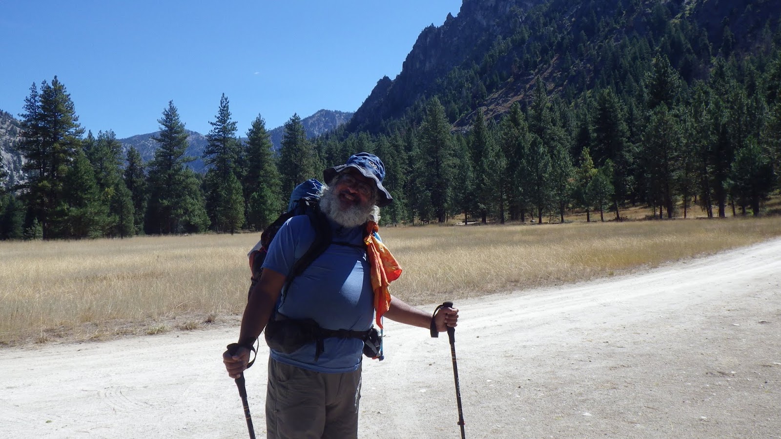
I’ve wanted to take Ambrose to Spangle Lake since I hiked past it in 2016 while doing the first segment of my solo trip. I also wanted to go back there for myself since I thought it was very beautiful, but my views and photos were a bit spoiled by pervasive smoke haze. I wasn’t going to ask Ambrose to hike the same route that I had from Willow Creek, so we had to pick a different point of entry. There are a few different ways we could have taken, but we chose to hike out of Atlanta, ID, which would put us about fifteen miles from Spangle Lake and allow for a nice, leisurely trip to close out our 2018 season.
It takes a while to drive all the way out to Atlanta, not just because it’s far away, but because a lot of the roads we take are winding, narrow, dirt roads. It’s not safe to go very fast on them, so we take our time and take care of the car. The plan was to eat sandwiches for lunch once we got to the trailhead and then hike out just a few miles to where the trail crossed Leggit Creek. That would give us a campsite near water and let us stop for the night before the trail got going with some serious climbing.
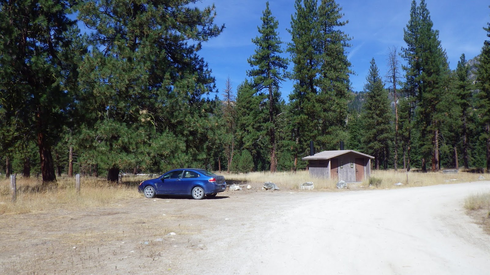
The trailhead campsite was nearly abandoned when we arrived, but there was some sort of weekend festival happening over the Labor Day weekend, so we knew it would be relatively crowded upon our return. But it was nice to have some quiet time at the picnic tables to eat lunch.
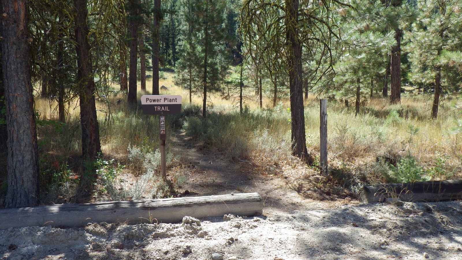
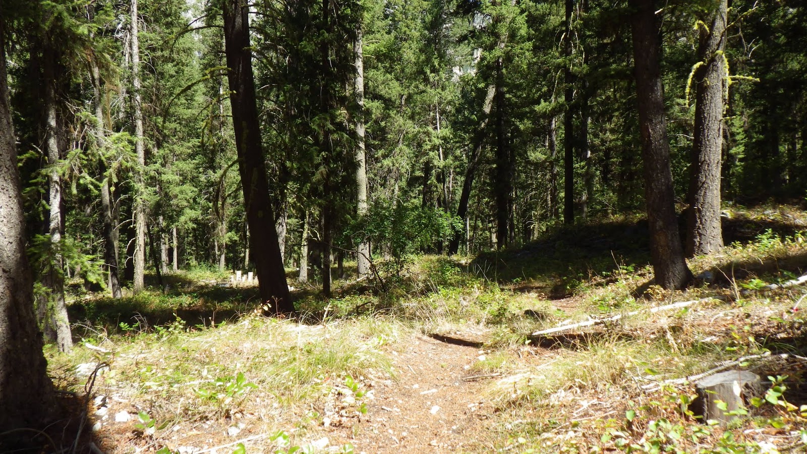
We set off on the trail, which starts by winding its way behind and beside the Power Plant Campground. There are sites visible from the trail, some of which had vehicles and tents in evidence, though I didn’t see or hear any people. The trail itself was well maintained and had a nice surface to walk on. Though the sun was overhead, we walked through good tree cover and it wasn’t too hot.
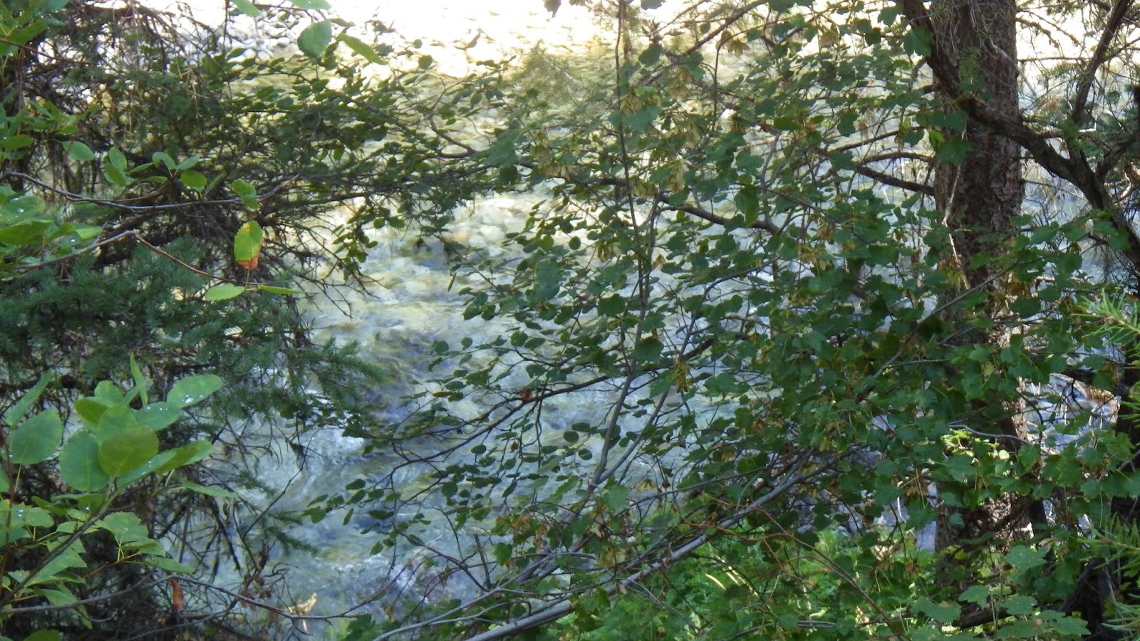
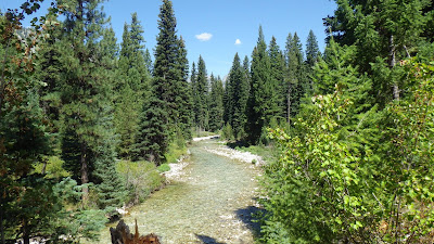
We passed a side trail that I noted led to a pit toilet and then the trail curved up and left the campground behind. Now we could hear or see the Middle Fork of the Boise River rushing below, and I was tickled to think that we were going to follow this river all the way up to its origin on this trip.
I hiked ahead of Ambrose a bit, and waited for him once my timer told me it was break time. There was no need to hurry, since we had plenty of time and very few miles to hike. He almost hiked by me, because I sat just off the trail, hidden by a log.
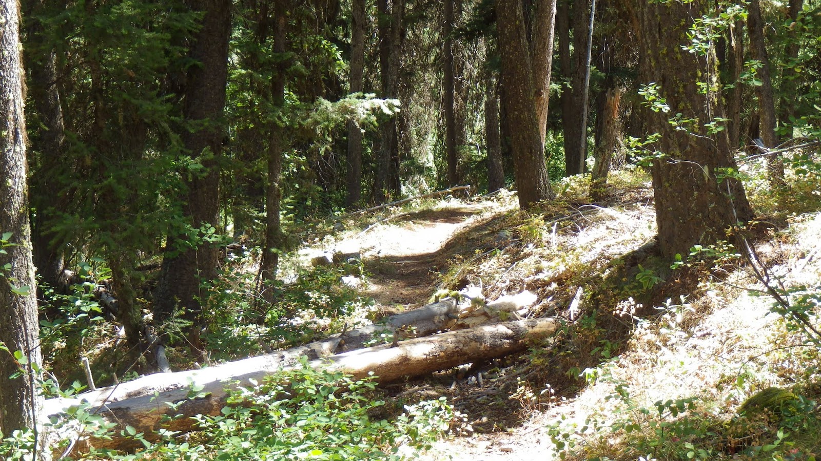
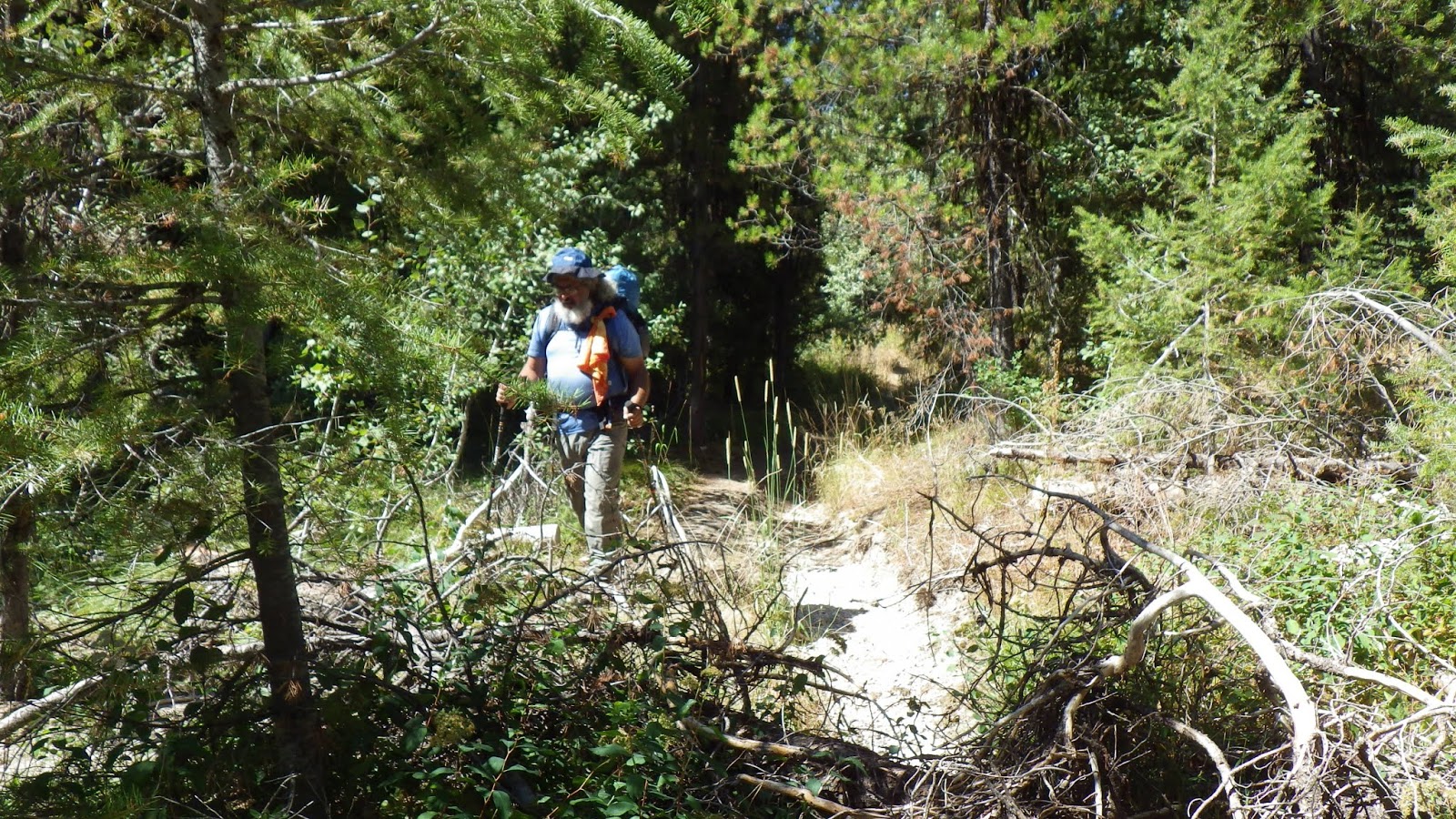
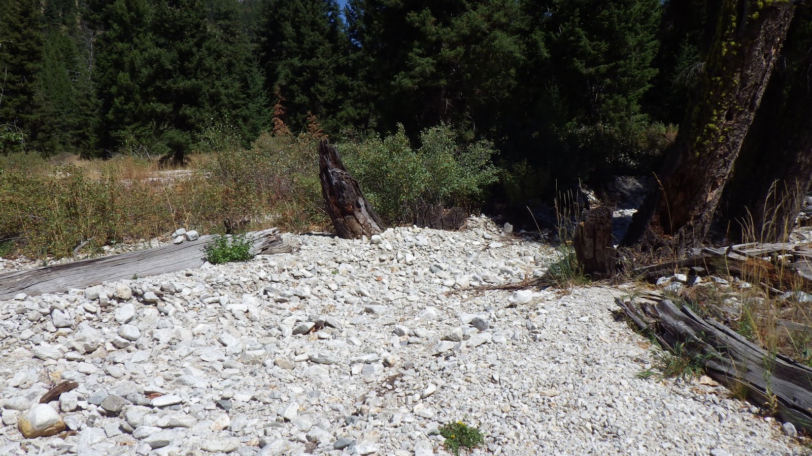
There were more snags on the trail once it left the campground, but nothing too difficult. The trail stayed high above the river for a while, and then angled down. We passed by some places that looked like they’d been used for camping, with fire rings. And then the trail got to a lower elevation and I saw that it had been affected by flooding. There were little washouts at first, still clearly trail. And then we came to a large plain that had been flooded so much that the trail was no longer clear.
There was just a field of rocks. So I paused and waited for Ambrose to catch up before proceeding. We figured it out by mostly walking straight across the expanse. And once we had figured out the direction, we saw two people on horseback coming from the other direction.
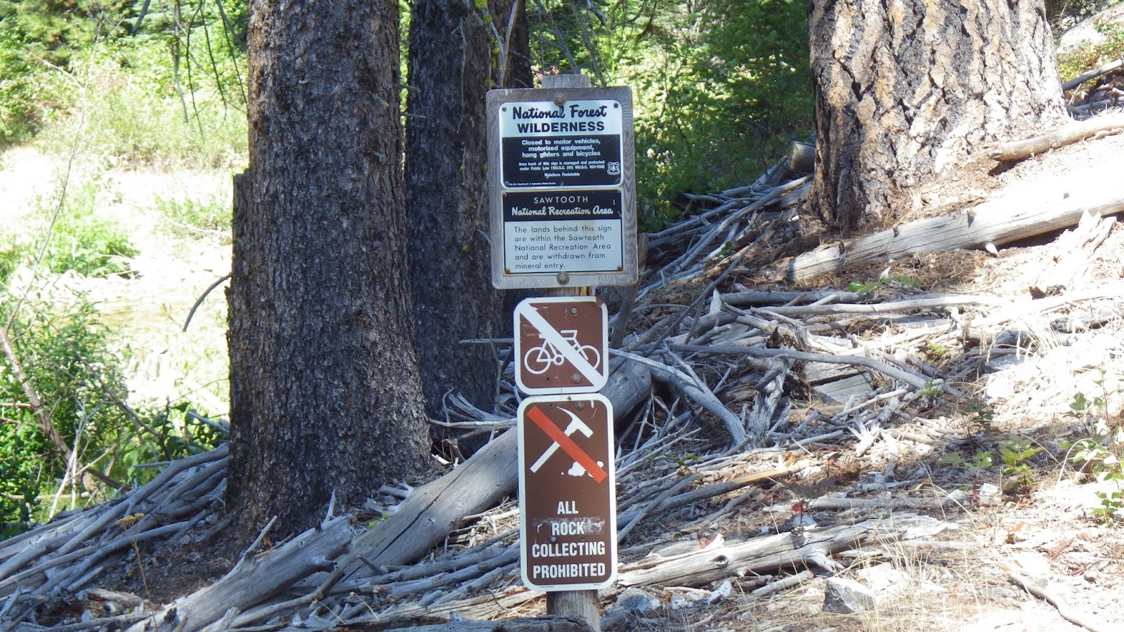
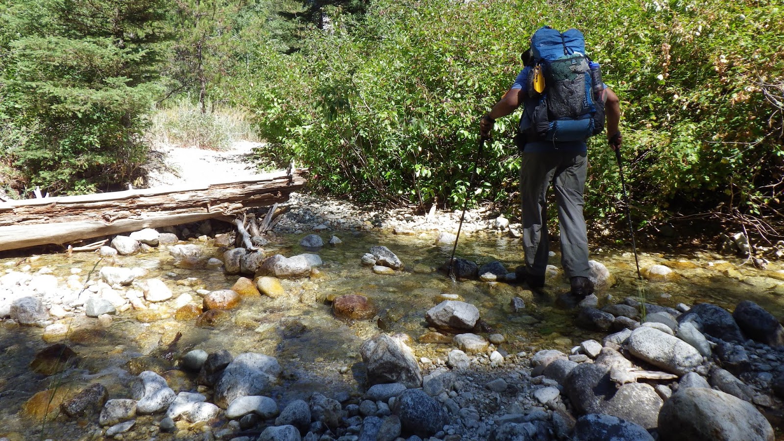
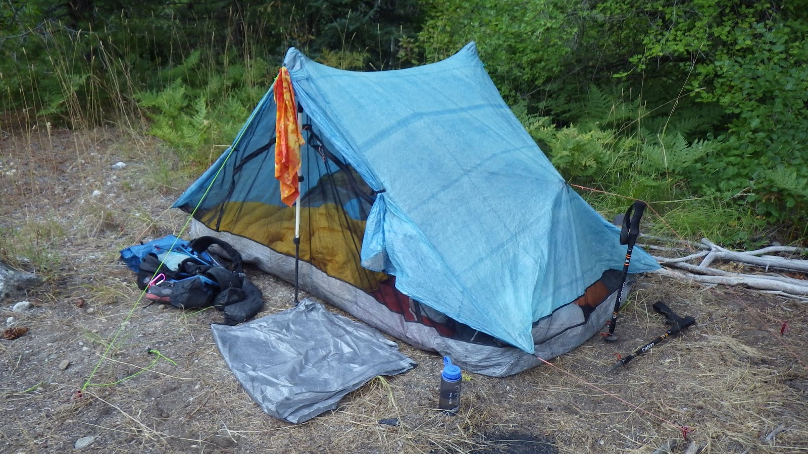
Not long after that, the trail came to a place where we could access the river for water if we wanted, but we hiked on, figuring to use Leggit when we got there. We entered the wilderness area, and crossed Leggit Creek. There weren’t a lot of options for campsites, so we picked one that had been used before and it was a fair site.
In the evening, two hikers came out and asked Ambrose about Atlanta (I was in the tent, so they didn’t see me). It was a nice easy day, and, in payment, the next day would be much, much harder.
 |
| Ambrose at the trailhead. |
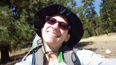 |
| Trailhead selfie! |
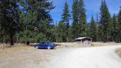 |
| Empty parking lot, but for us. |
 |
| Start of the trail. |
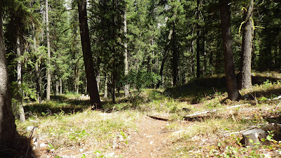 |
| Pretty nice trail. |
 |
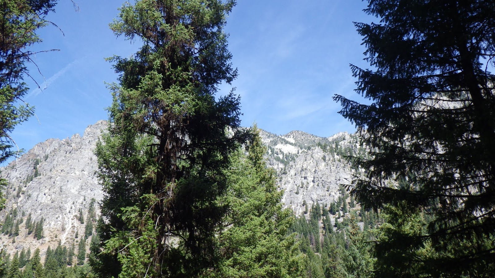
| Even better views. |
 |
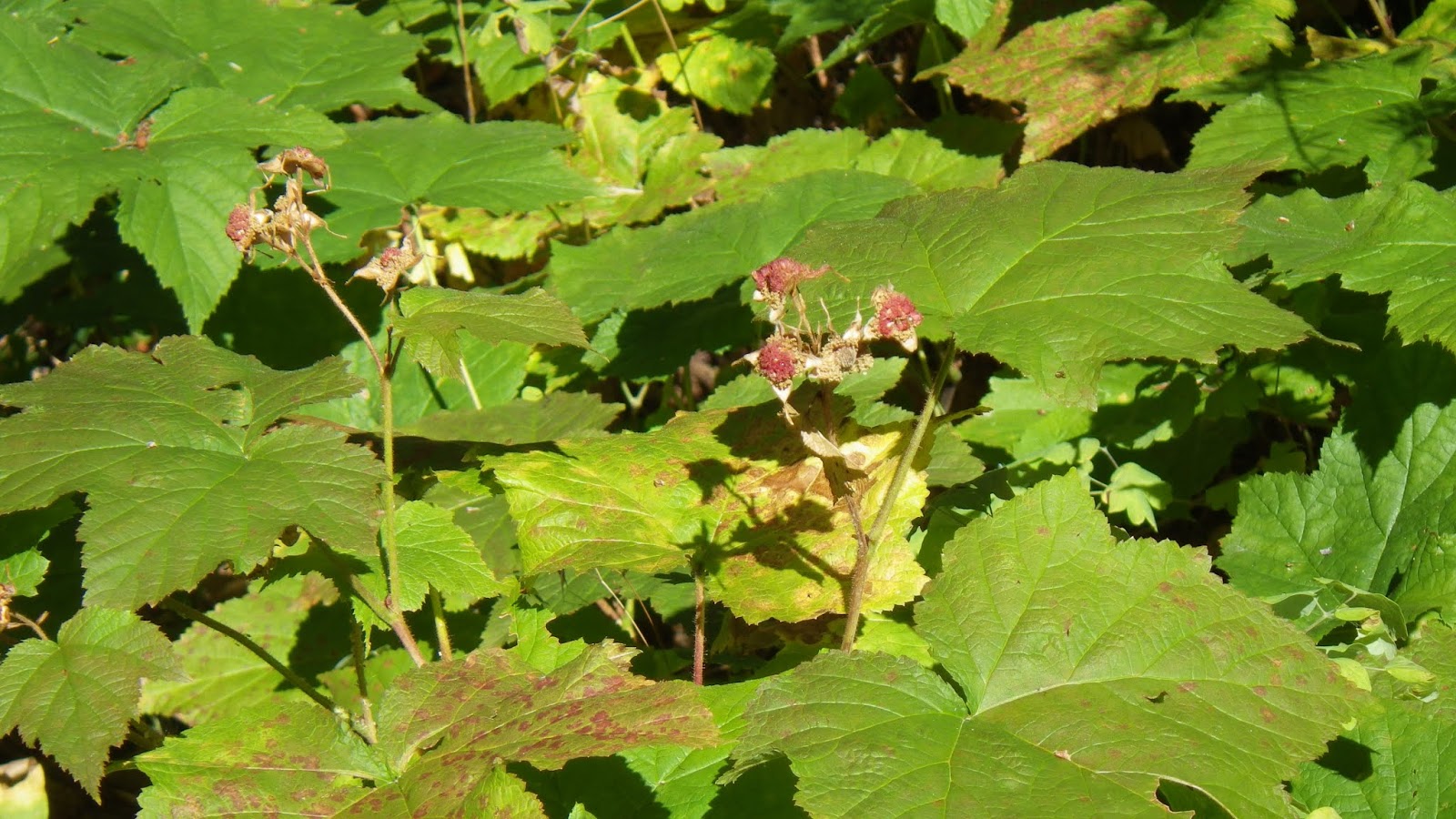
| Alas, thimbleberry season appears to have passed. |
 |
| Middle Fork of the Boise River roaring below the trail. |
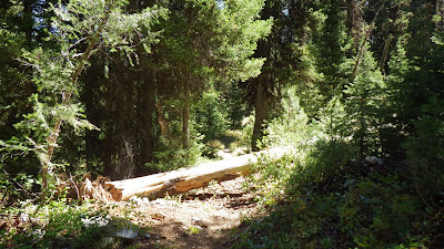 |
| The trail detours around this log to the left. |
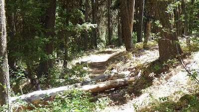 |
| This one, you just step over. |
 |
| Ambrose keeping up with me pretty well. |
 |
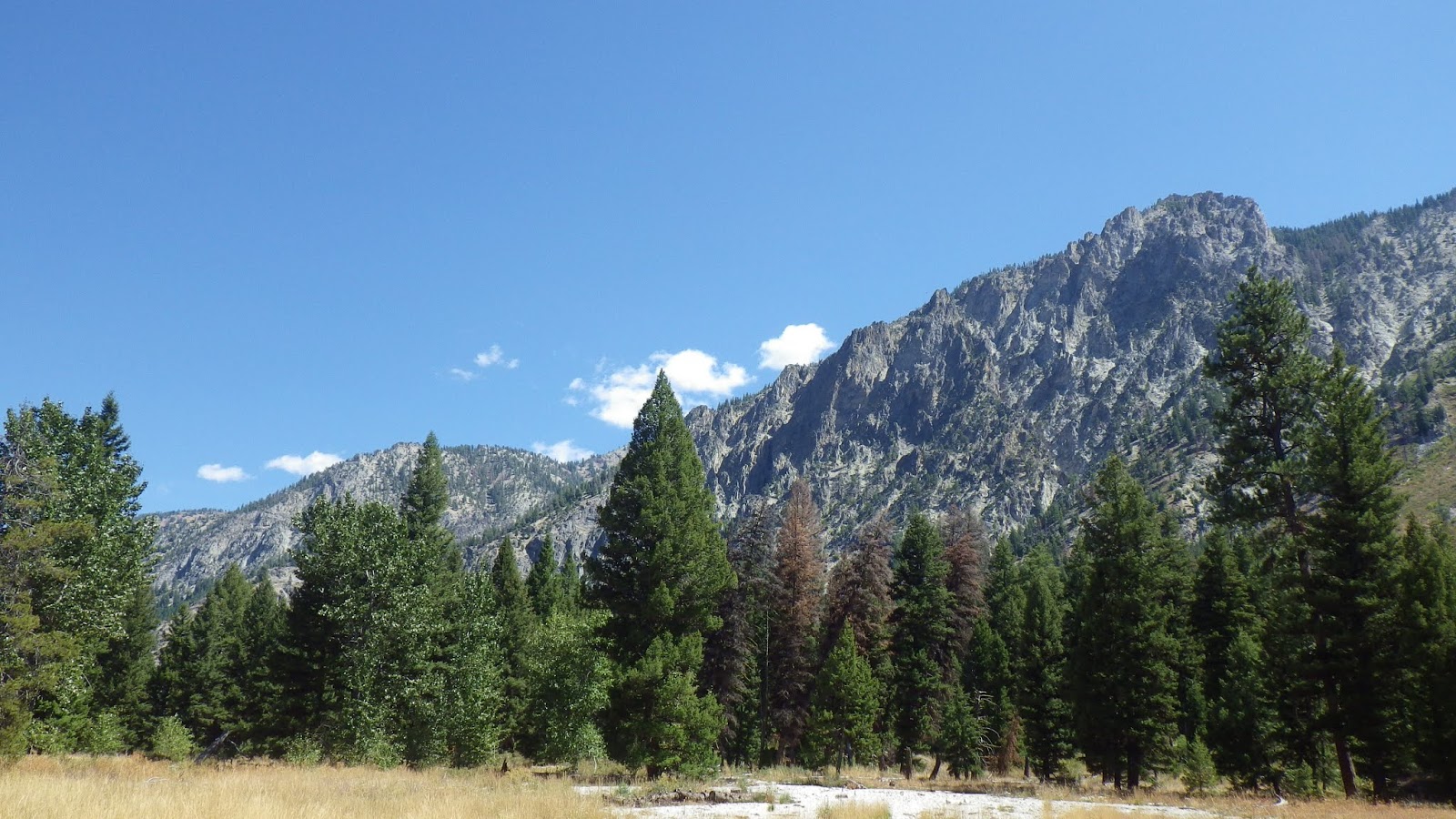
| Views like this are why I hike. |
 |
| A little washout… |
 |
| More river. |
 |
| Time to enter the wilderness – no rock collecting! |
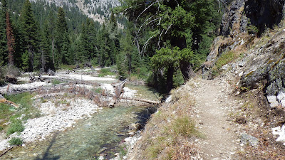 |
| The trail getting close to the river. |
 |
| Ambrose crossing Leggit Creek. |
 |
| Tent all set up for the night. |
 |
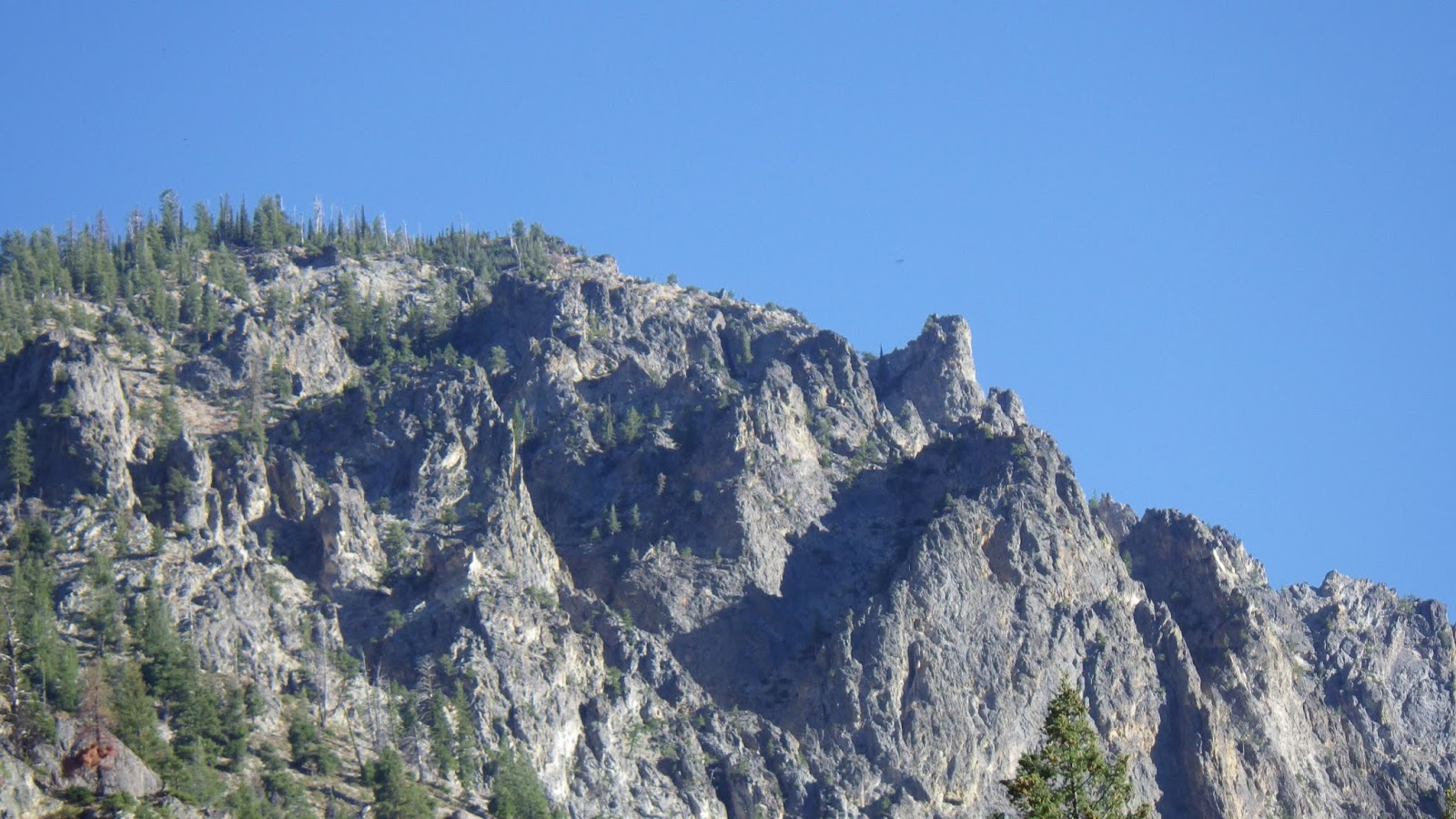
| The view across from the tent. |