My husband and I had planned to go out to Sheep Creek again and hike up our old friend, 6125, but then we decided to change things up a bit and drove back out to the Dixie Campground in Oregon. It’s kind of funny, the travel time is nearly the same, even though Dixie is a lot farther than Sheep Creek, because the Oregon trip is on paved roads nearly the whole way, while Sheep Creek involves a lot of narrow, winding dirt roads that necessitate a slower rate of travel.
So we drove out on Saturday afternoon, after we had completed our grocery shopping duties. The campground had plenty of spaces available, and we only ended up with one neighbor, which was nice. The spots there are pretty isolated from each other anyhow, but I like the quiet of a mostly empty site. The rest of that day was spent relaxing and hanging out and following the shade around.
The next morning, we got moving. Breakfast, then pack everything up and go for a hike. I still haven’t quite figured out the best way to pack my new backpack, but even ill-packed it was so light. And my hiking shoes are light. I felt like I wasn’t really carrying much at all, which was nice. Especially since I was going for speed.
On a backpacking trip, I won’t usually be going for speed. I’ll be going for endurance – fast enough to make my miles for the day without burning out. On a training hike, it’s all about speed, because the time is limited. Based on mapping I’d done before we headed out, I knew it was a bit more than 5 miles to Dixie Butte from the campground. I set out around 6:20 and felt confident I could make it back before noon, even with the 2000+ feet of gain I was facing.
The first mile always seems to be the hardest. I need to get myself into the groove, make my body accept the yoke of work. But once it settles, I have an easier time of it. It helped that I was using the MapMyRun app on my phone, so I could hear when I reached a mile and what my mile pace was. For the first four miles, I was between 22 and 25 minutes per mile, a decent pace for uphill backpacking. But the last mile and a half, the trail just got steeper and steeper.
Once I could see the top of the butte, I had a choice between a super steep lane and the longer path of following the road around the butte. I chose the steep path, but I kind of wished that I hadn’t. I slowed way down on that part. I might have been out of fuel at that point, but I didn’t want to stop until I reached the top. So I pushed on, through pounding heart and gasping breaths.
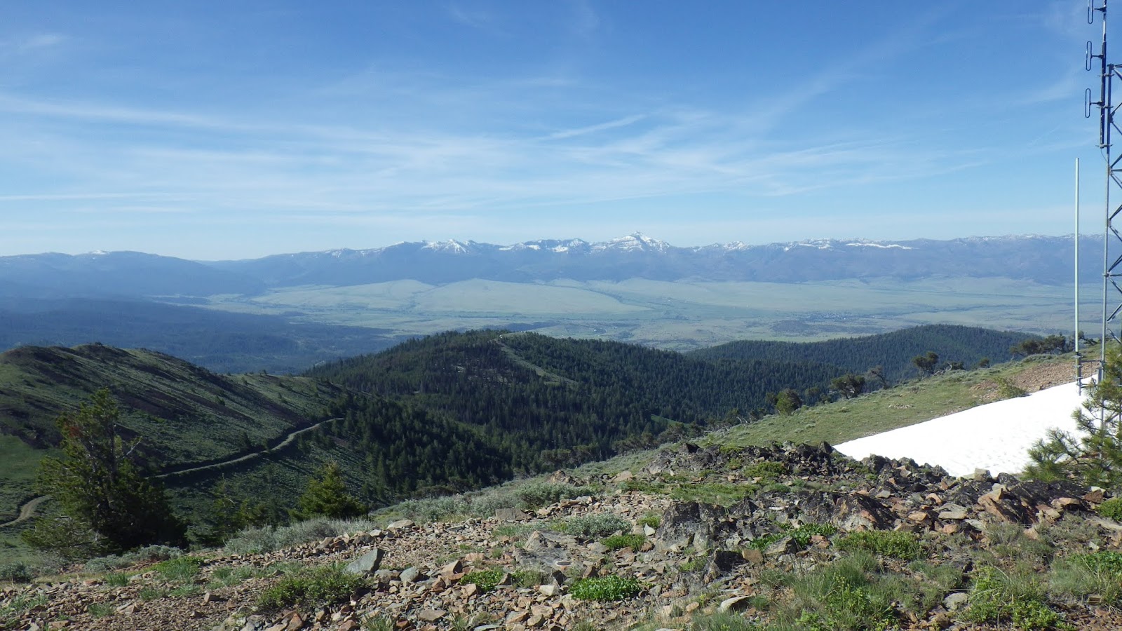
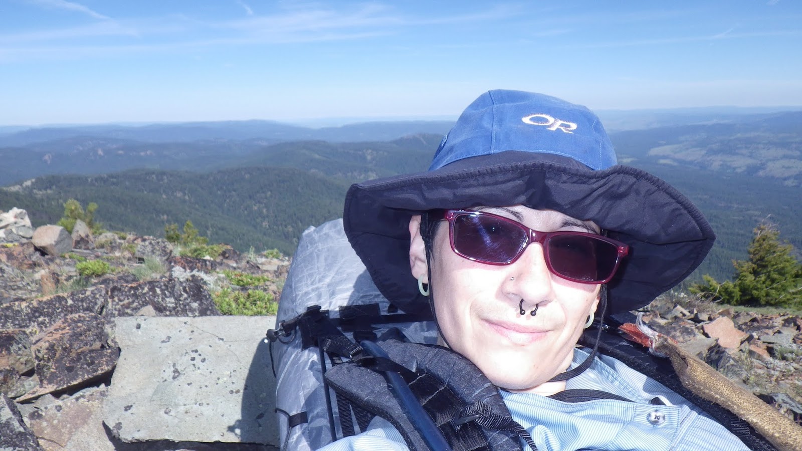
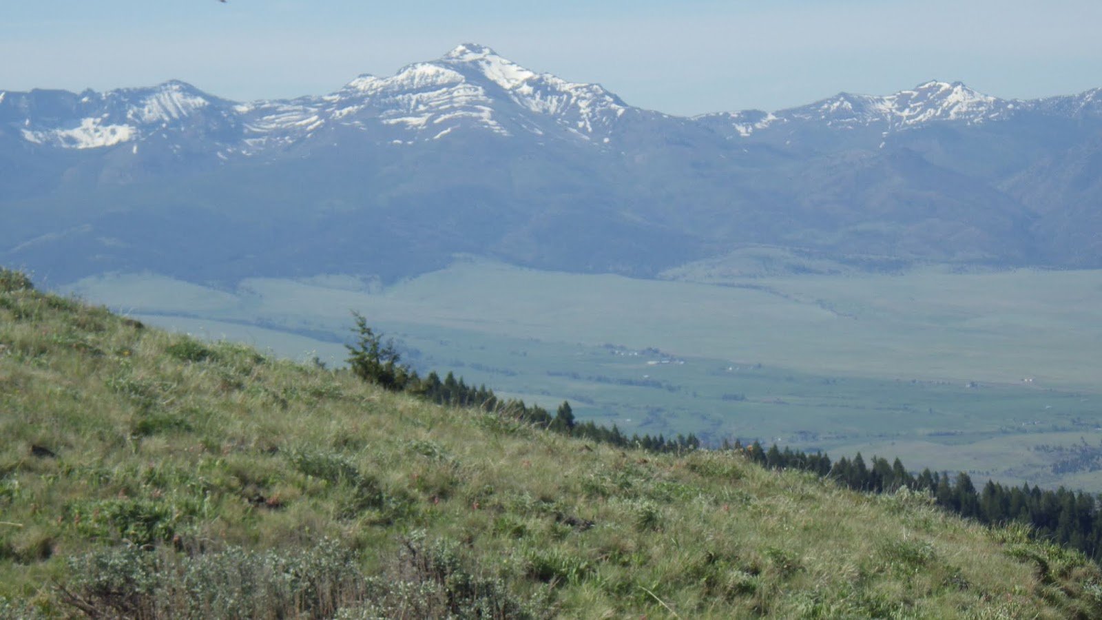
The view from the top was a delight. In the distance, I could see the Strawberry Mountain Range and Prairie City and all sorts of rolling green landscape. The air was a bit hazy, I think because of moisture in the air – a nice change from “Dry-daho”.
On the top, I took advantage of the fact that there was a privy and spent some time resting and relaxing – and refueling. Then it was time to head back. The way down, as is usual, went much faster than the way up. My feet were definitely feeling the hike, as well as my quads and hamstrings and shins and especially calves. But I was delighted that my ilio-tibial band issue did not flare up on the downhill portion. That tells me that I’m getting the right work in to prevent it from flaring.
Ambrose was waiting for me back at camp, ready to drive us home since he’d had some time to rest after his four mile hike.
 |
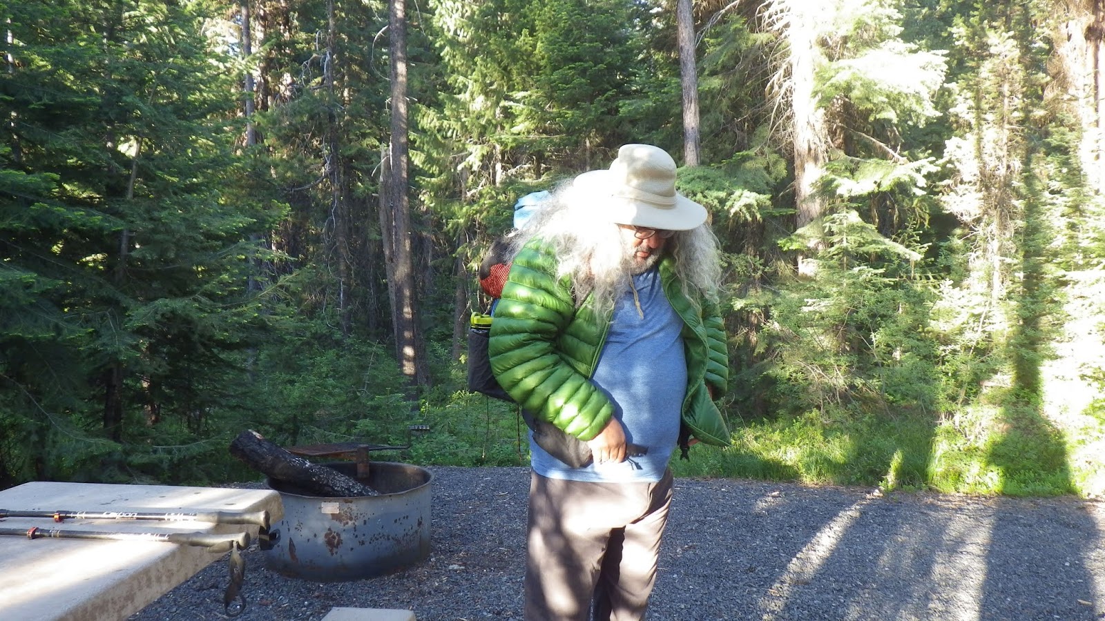
| Ambrose getting ready to head out – wearing his puffy coat. It wasn’t that cold. I didn’t wear a coat. |
 |
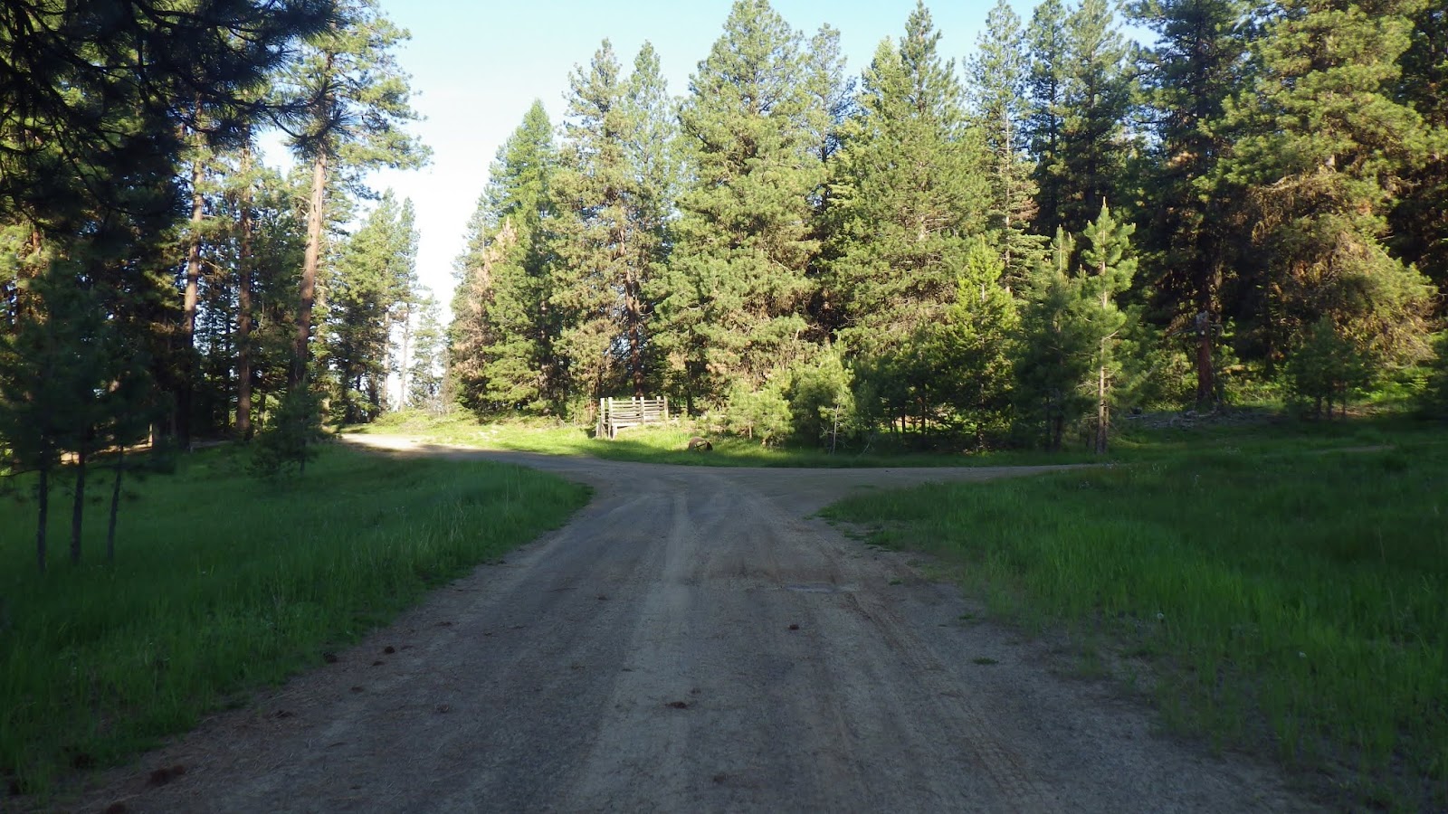
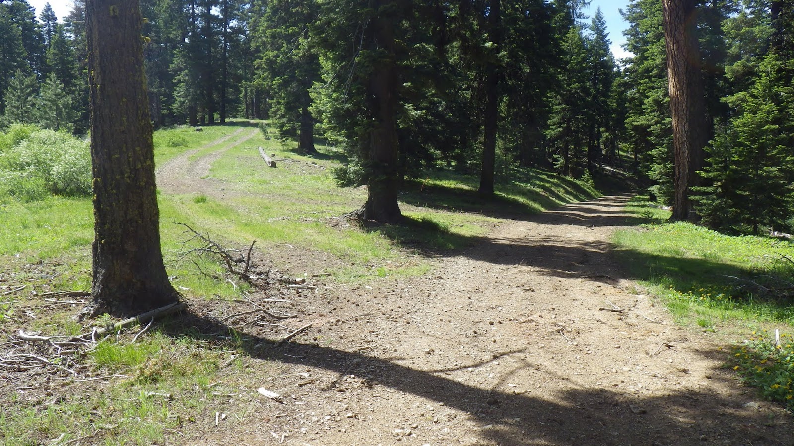
| When I ran here over Memorial Day weekend, I didn’t realize I needed to take the right to get to the butte. |
 |
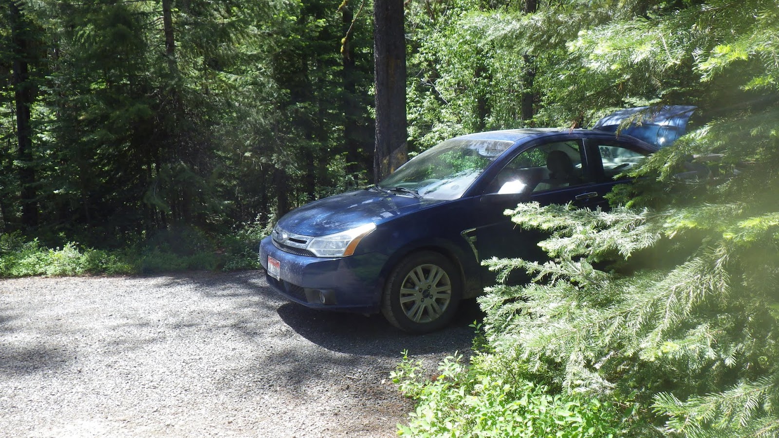
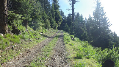
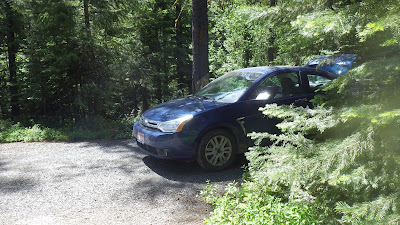
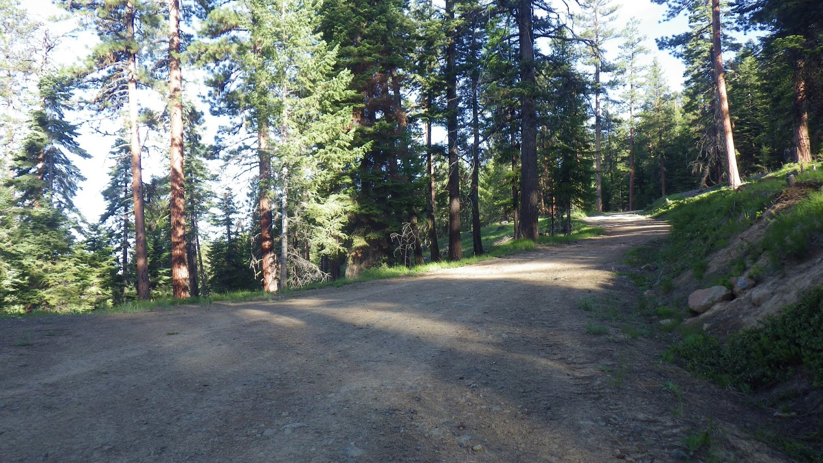
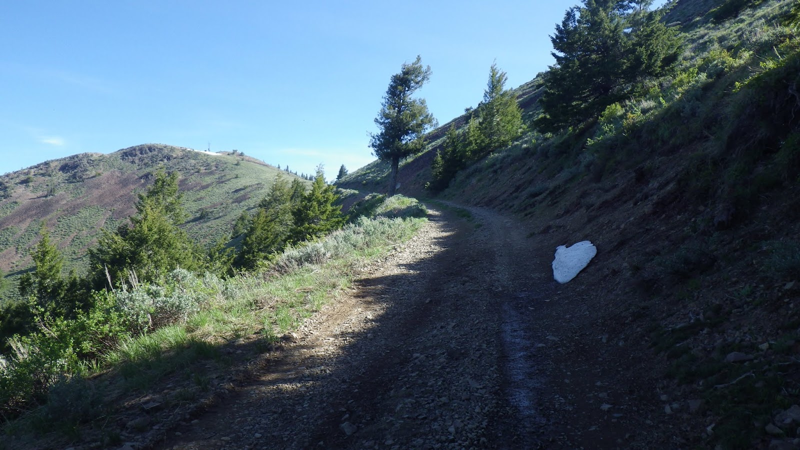
| The road was pretty easy to hike on. But I wouldn’t want to drive our Ford Focus up it. |
 |
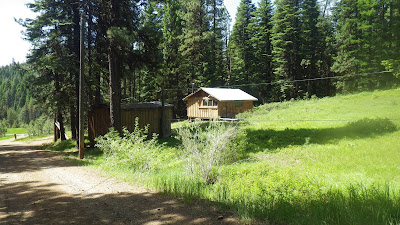
| I think I could see the top of the butte from here, but I’m not sure. |
 |
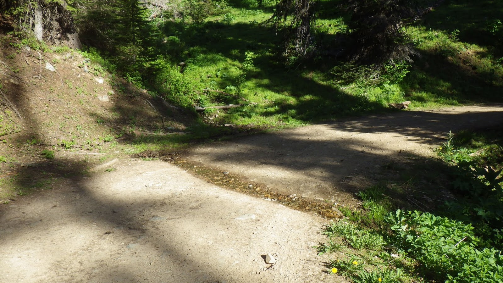
| A nice little water crossing (that should probably be going below the road in a culvert). |
 |
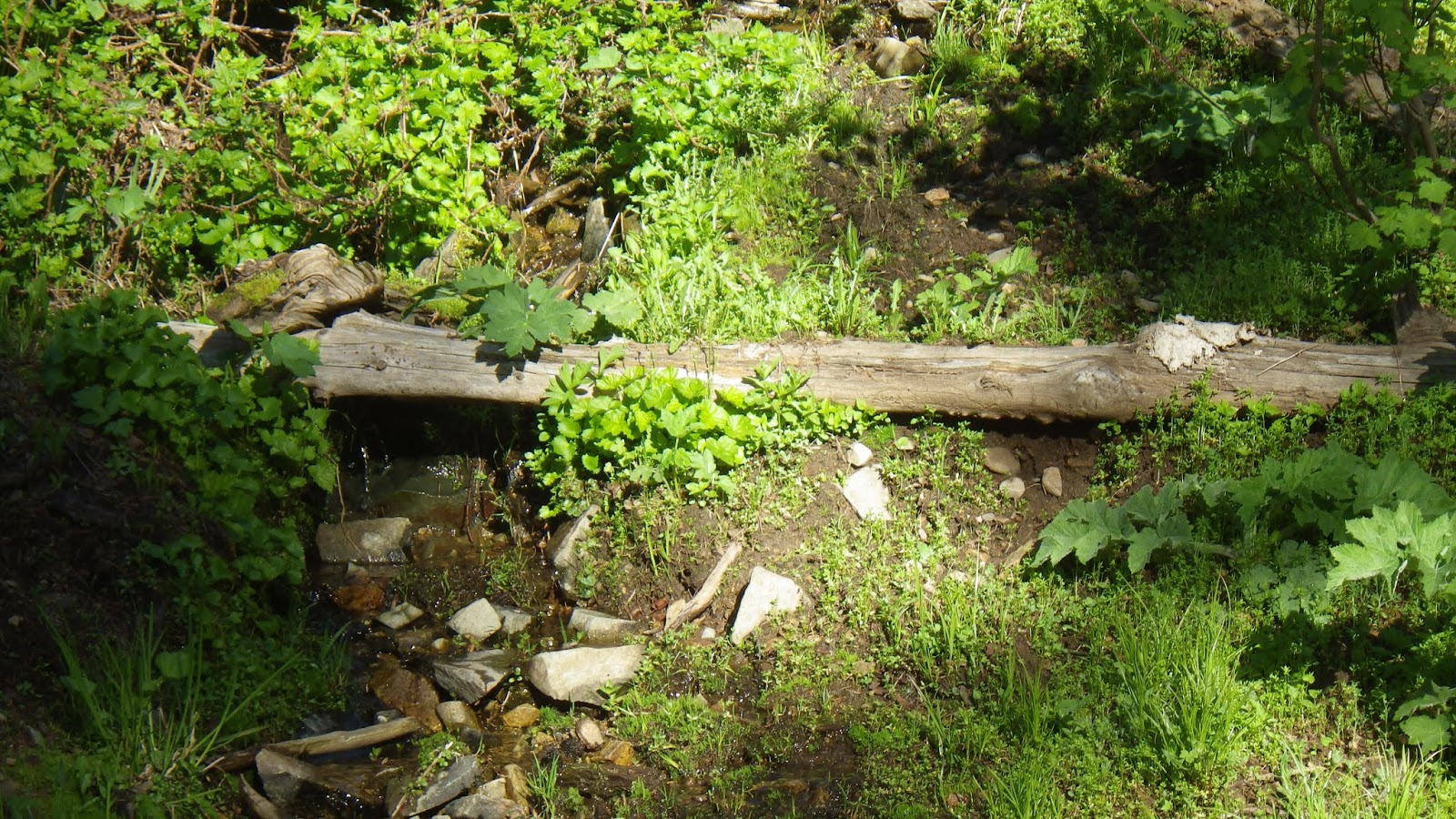
| Trickling waterfall. |
 |
| It doesn’t look like people have been driving up here much yet this season. |
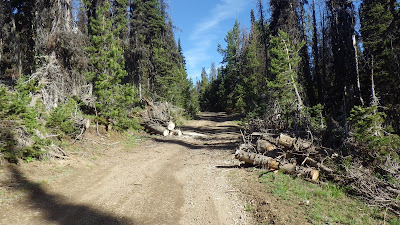 |
| Though clearly someone was here relatively recently to clear these logs. |
 |
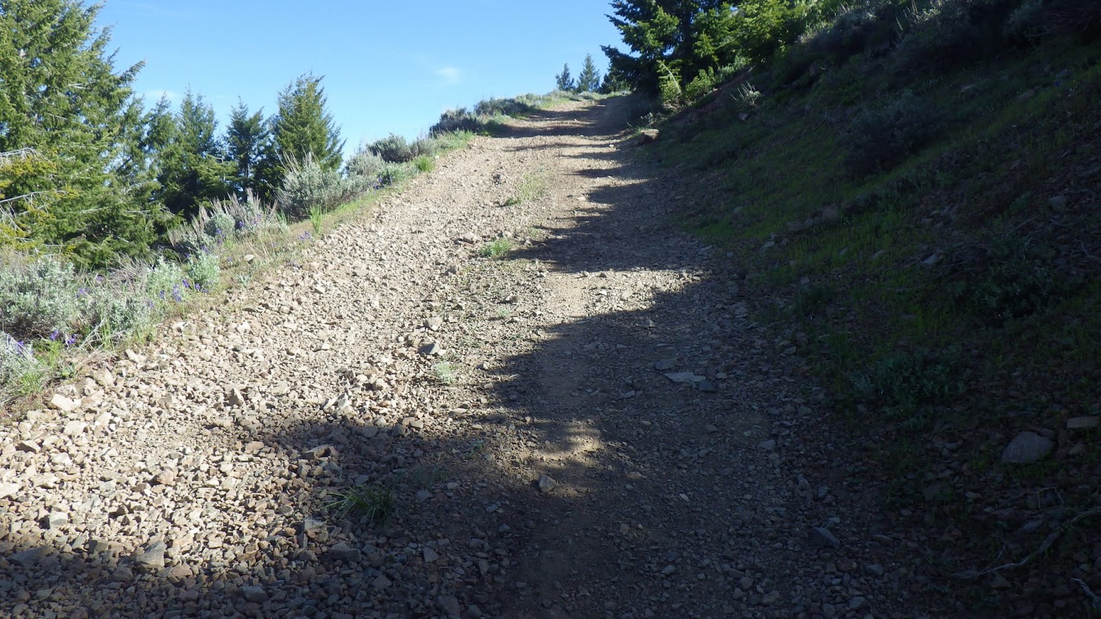
| And then it got steep. |
 |
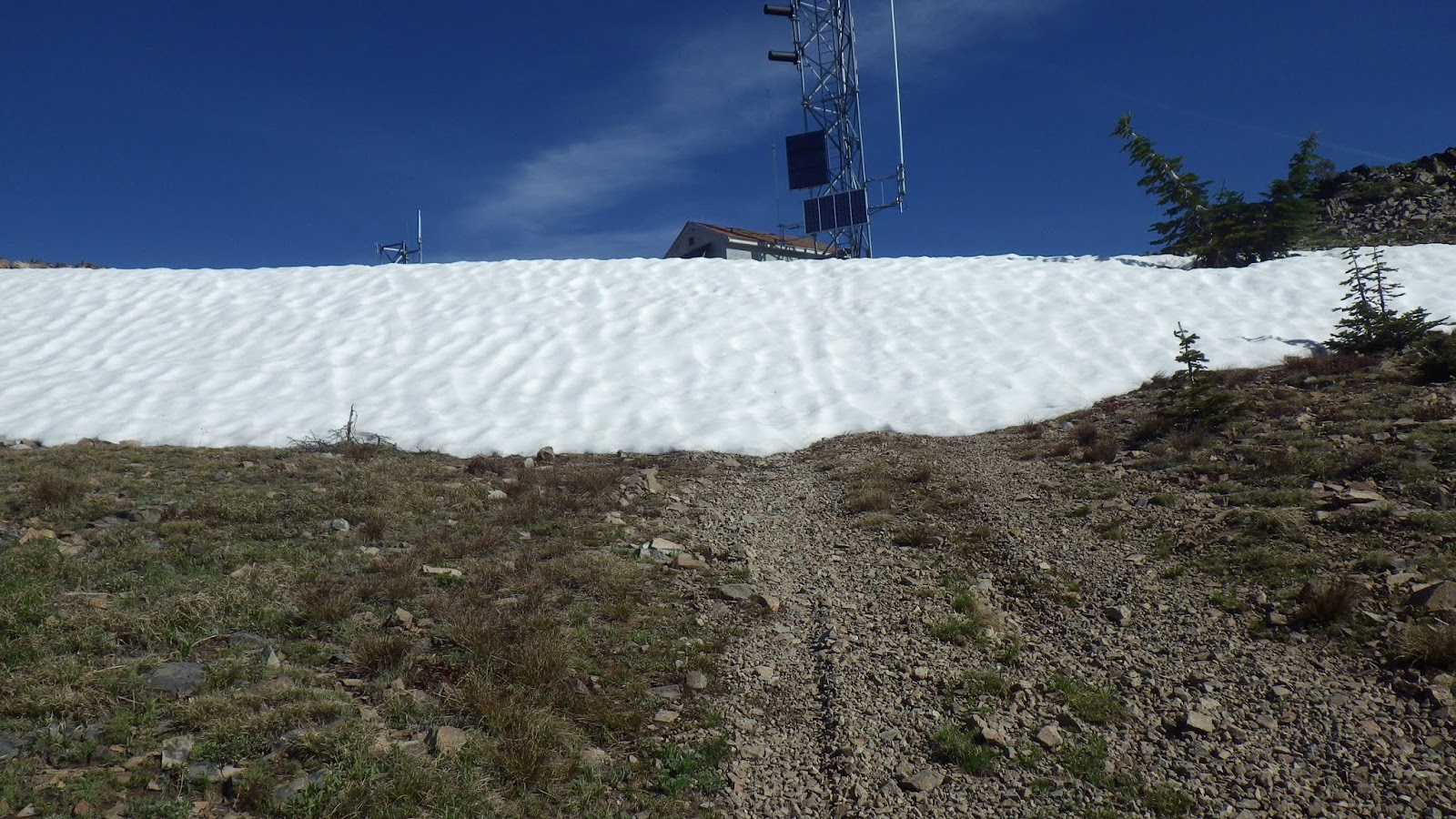
| Oh, snow! |
 |
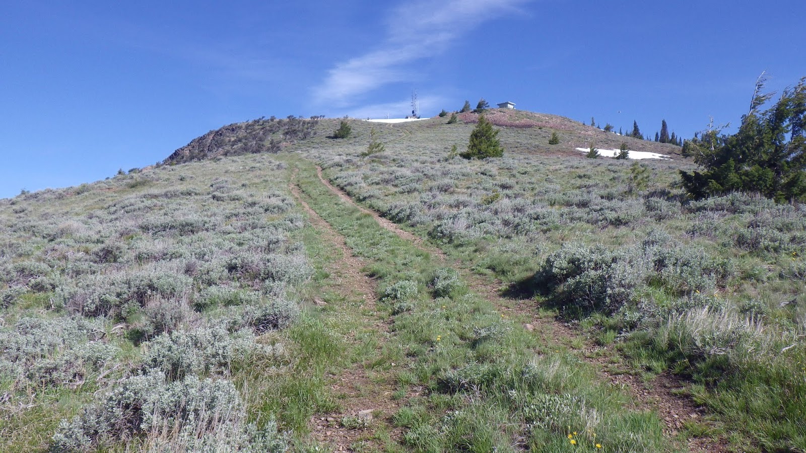
| The short way. Also known as the incredibly steep way. |
 |
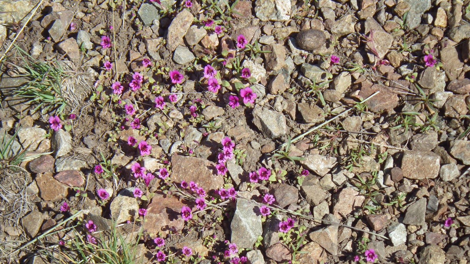
| It did have some pretty flowers to admire. |
 |
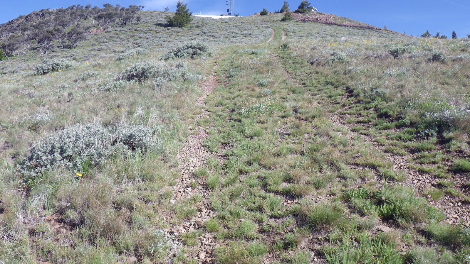
| But it just kept going, up and up and up. |
 |
| And the road ended in yet more snow. |
 |
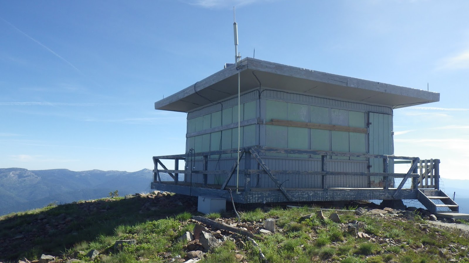
| A lookout! |
 |
| Pretty good view. |
 |
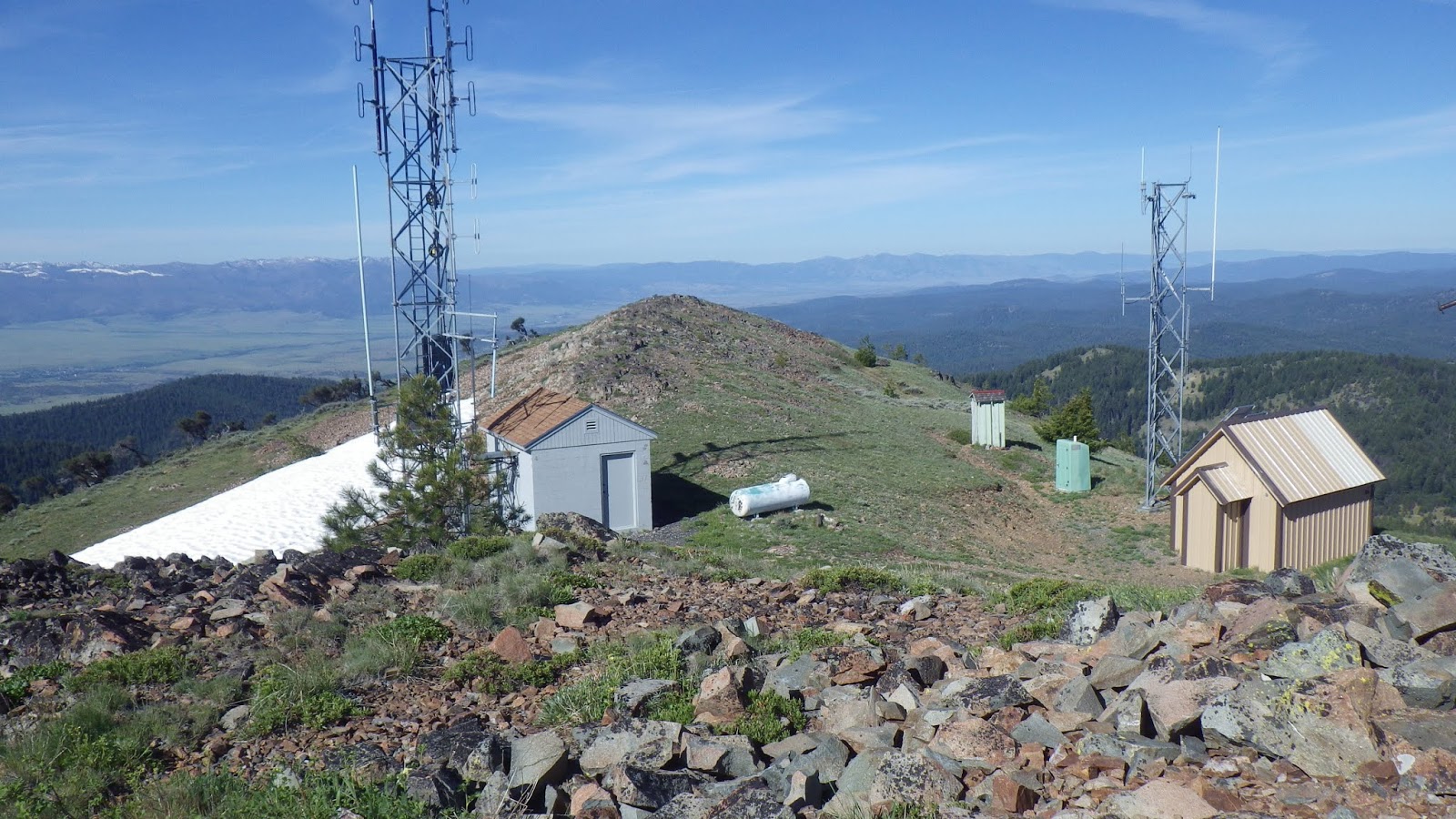
| The pale green shack farthest away was a privy. |
 |
| Yeah, it was a nice place to take a break. |
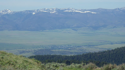 |
| Strawberry Mountain Range and Prairie City below. |
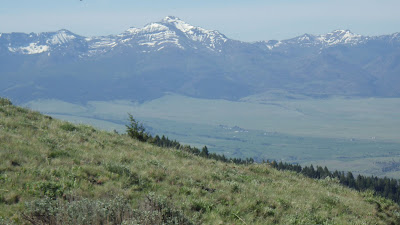 |
| I think the mountain in the middle is Strawberry Mountain, but I’m not certain. |
 |
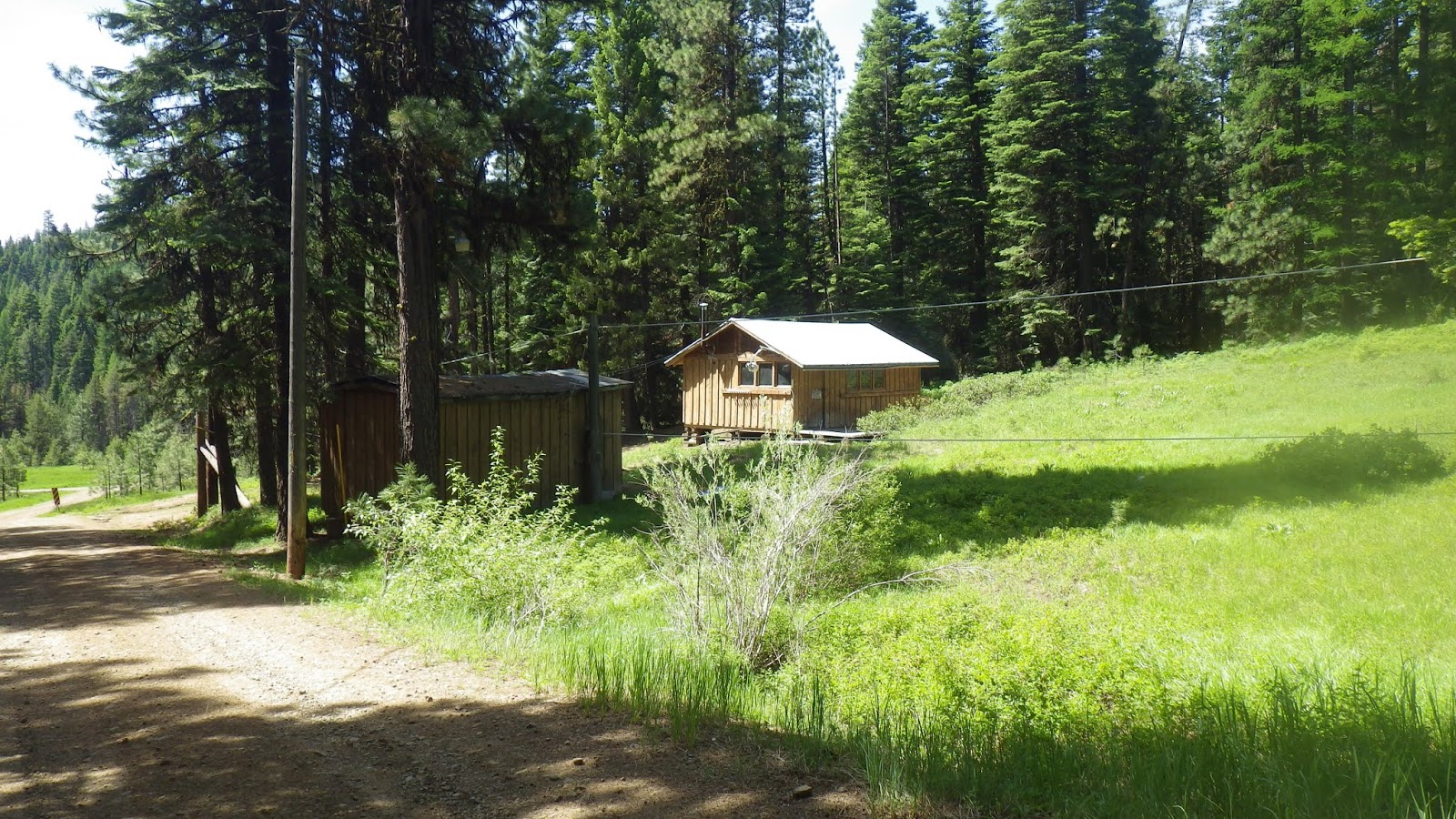
| It looked like there might be cabins up the road to the left. |
 |
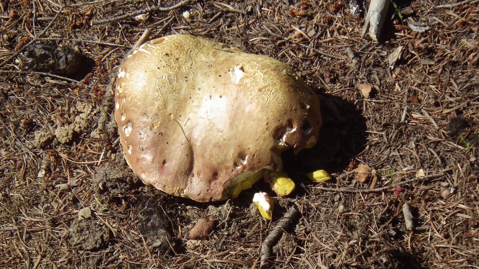
| Such a large and rounded fungus. |
 |
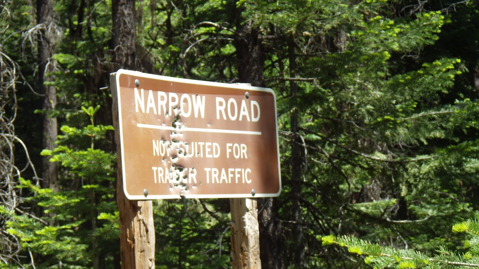
| Can confirm: narrow road. |
 |
| There was a tubing pulley! |
 |
| Safe and sound at the car. |


