We had enough food to stay out for one more day, but Ambrose wanted to get out today. To reach the car and drink some of the coconut water we had stashed in the trunk. To finish up our first Chamberlain Basin trip and have an extra day to recover at home. Oh, and also to eat a hot breakfast in Yellow Pine.
So we woke up and got moving with the plan of reaching the car motivating us.
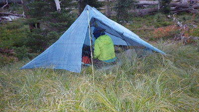 |
| Ambrose took a picture of our precariously pitched tent. |
We started on the trail just before 7 in the morning. According to the guidebook, the next good water was a pair of springs a half mile before the Mosquito Springs hunting camp cut off. But we didn’t know how far it was from Chicken Spring to those unnamed ones. We did see the trail that was supposed to be near Chicken Spring as we hiked towards the sunrise.
 |
| Yes, this really isn’t an ideal place to pitch a tent. |
 |
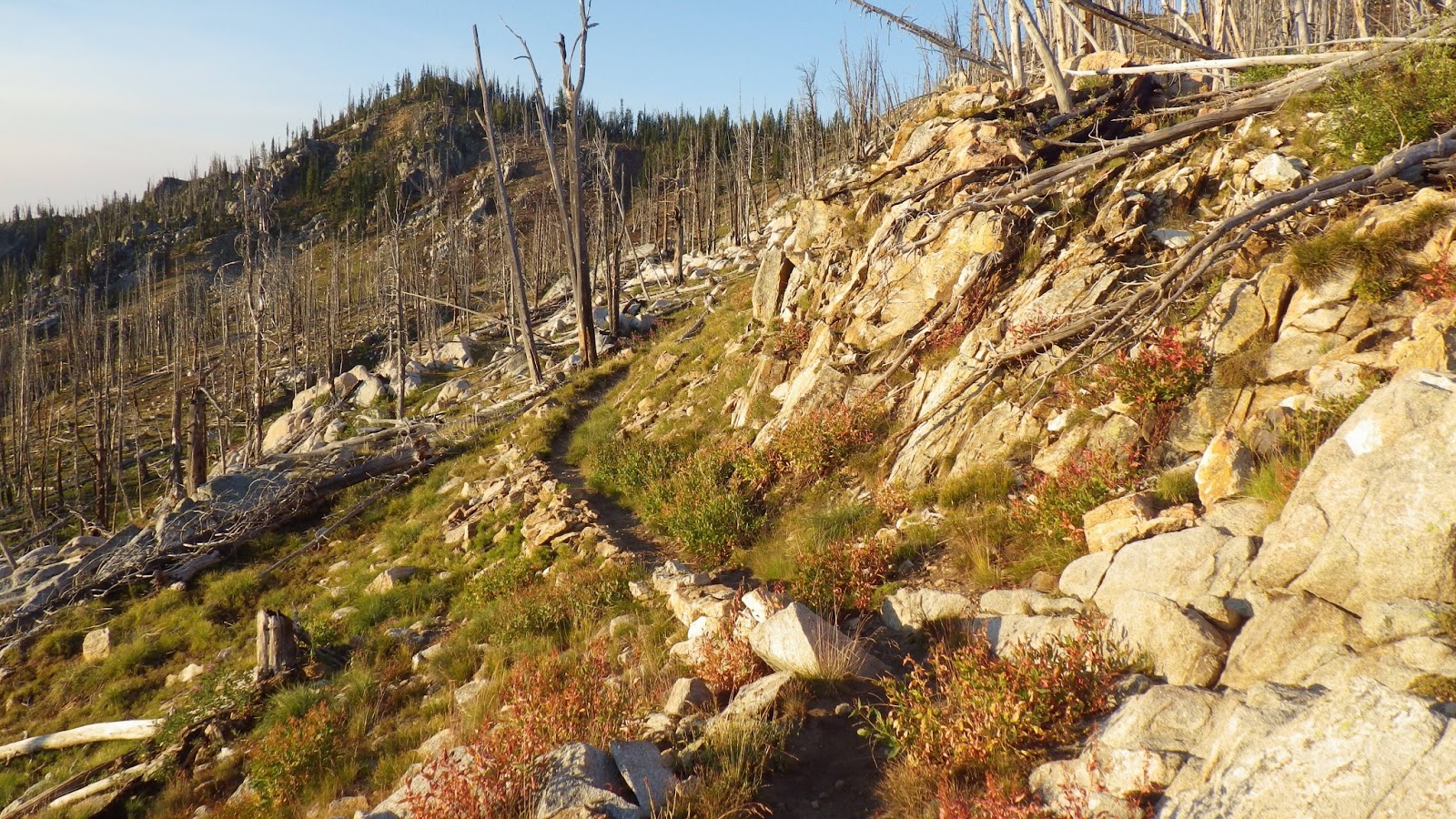
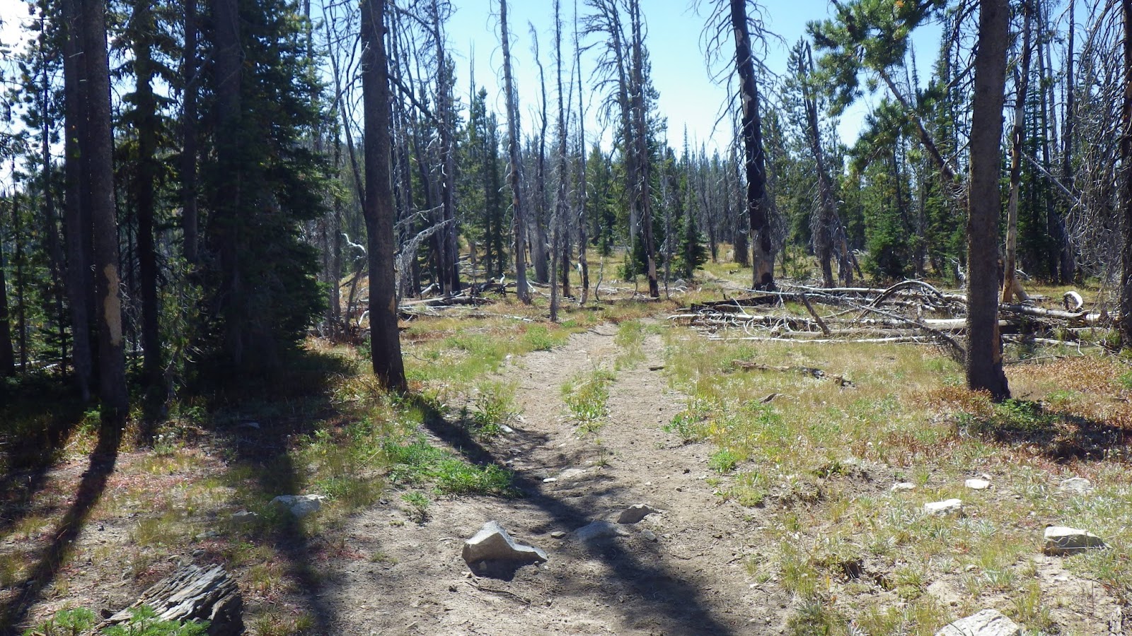
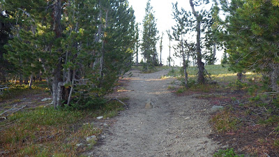
| Based on the guidebook, I thought this junction would be closer to Chicken Spring. |
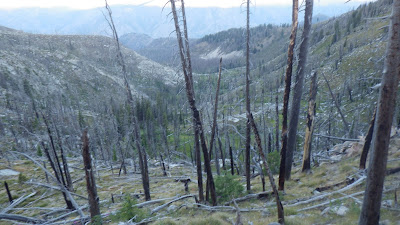 |
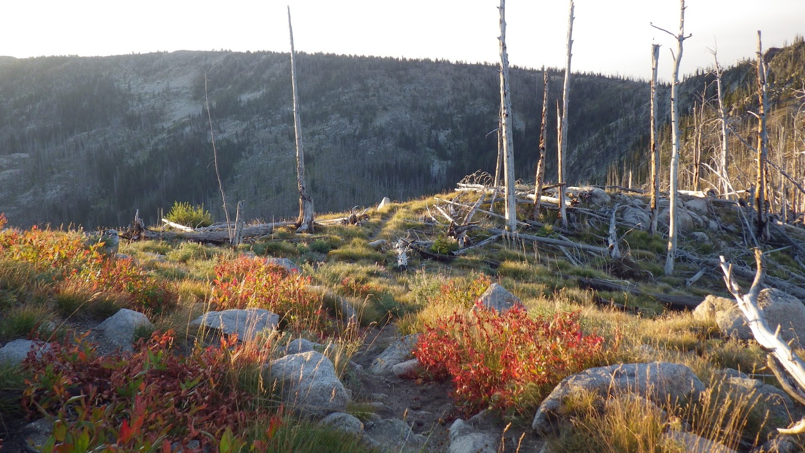
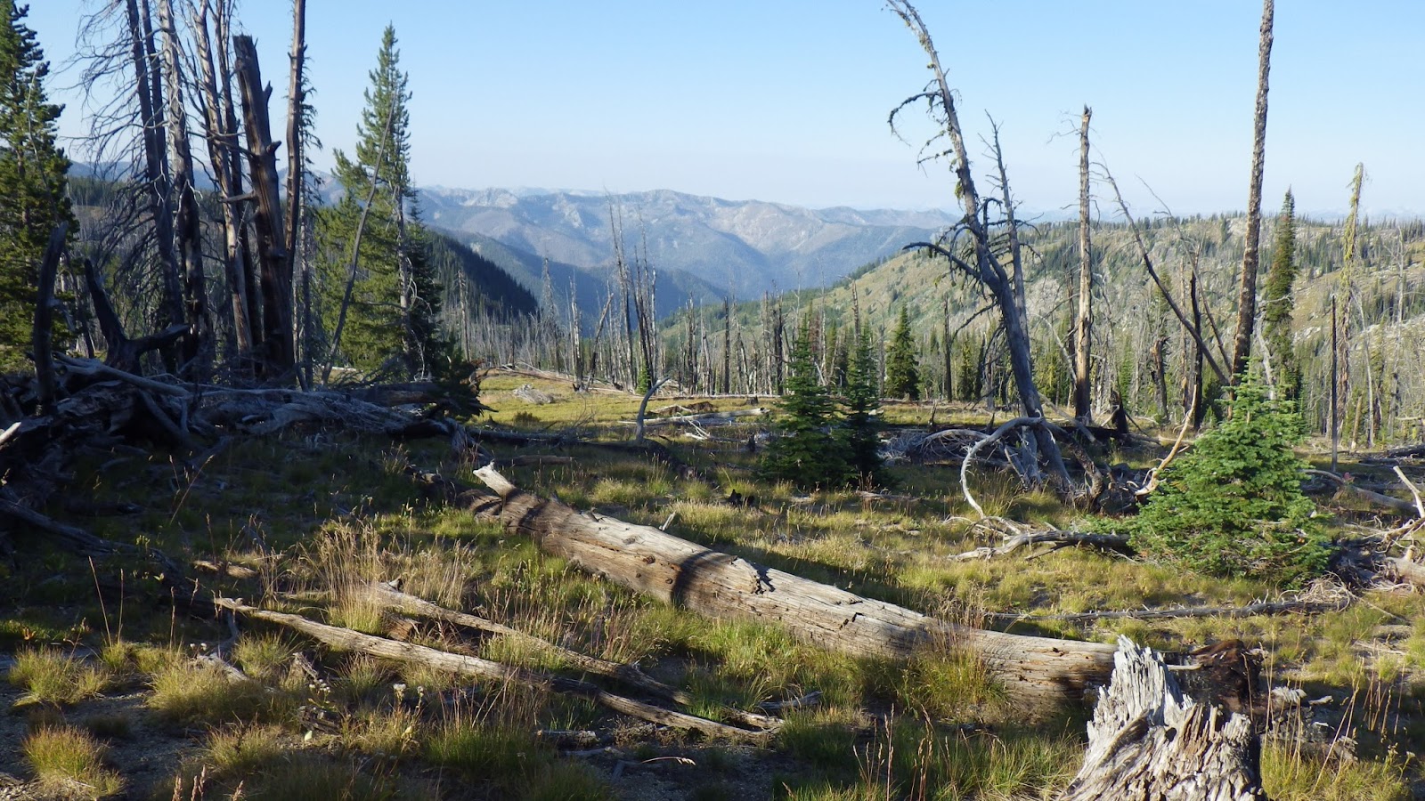
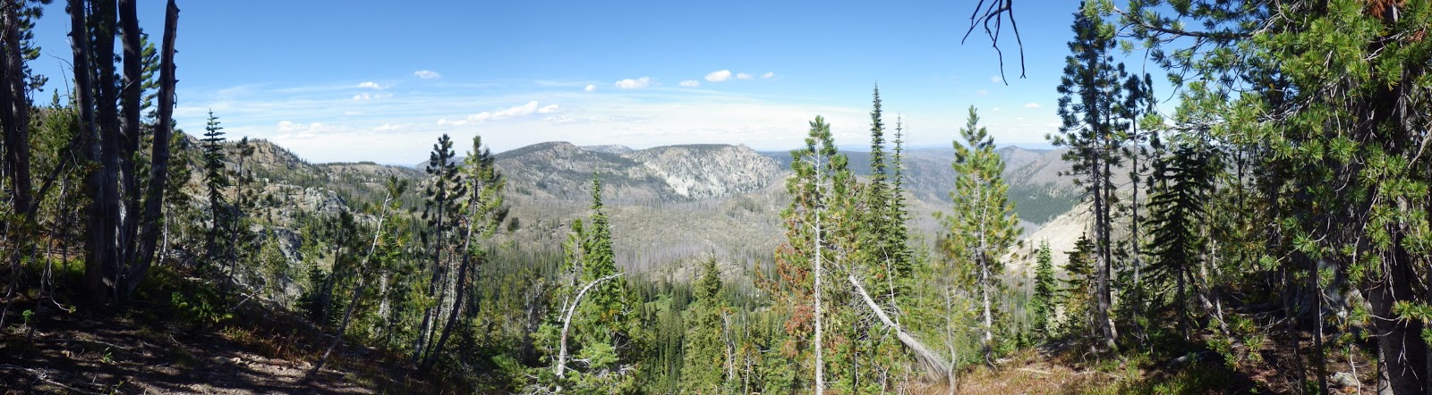
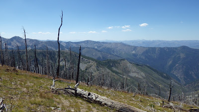
| One last look at the western valley below Chicken Peak. |
The trail led up and we crossed a saddle to the east side of the ridge. There, we hiked up some switchbacks in the morning light. I was glad as I climbed that we hadn’t tried to press on the night before. Maybe we could have kept going if we’d paused to eat dinner, but it would have been a dark and scary hike.
 |
| The sun on the saddle. |
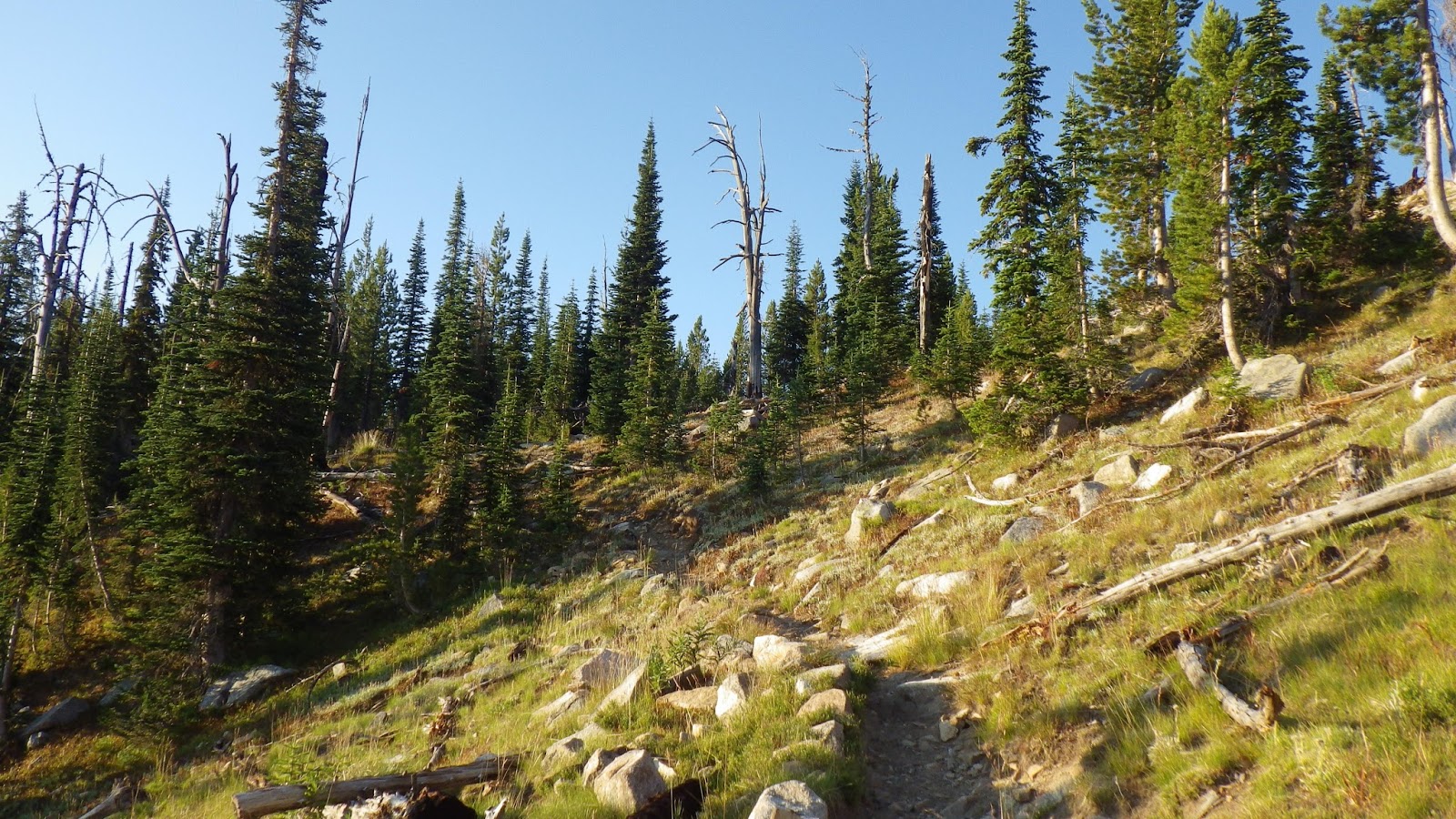
 |
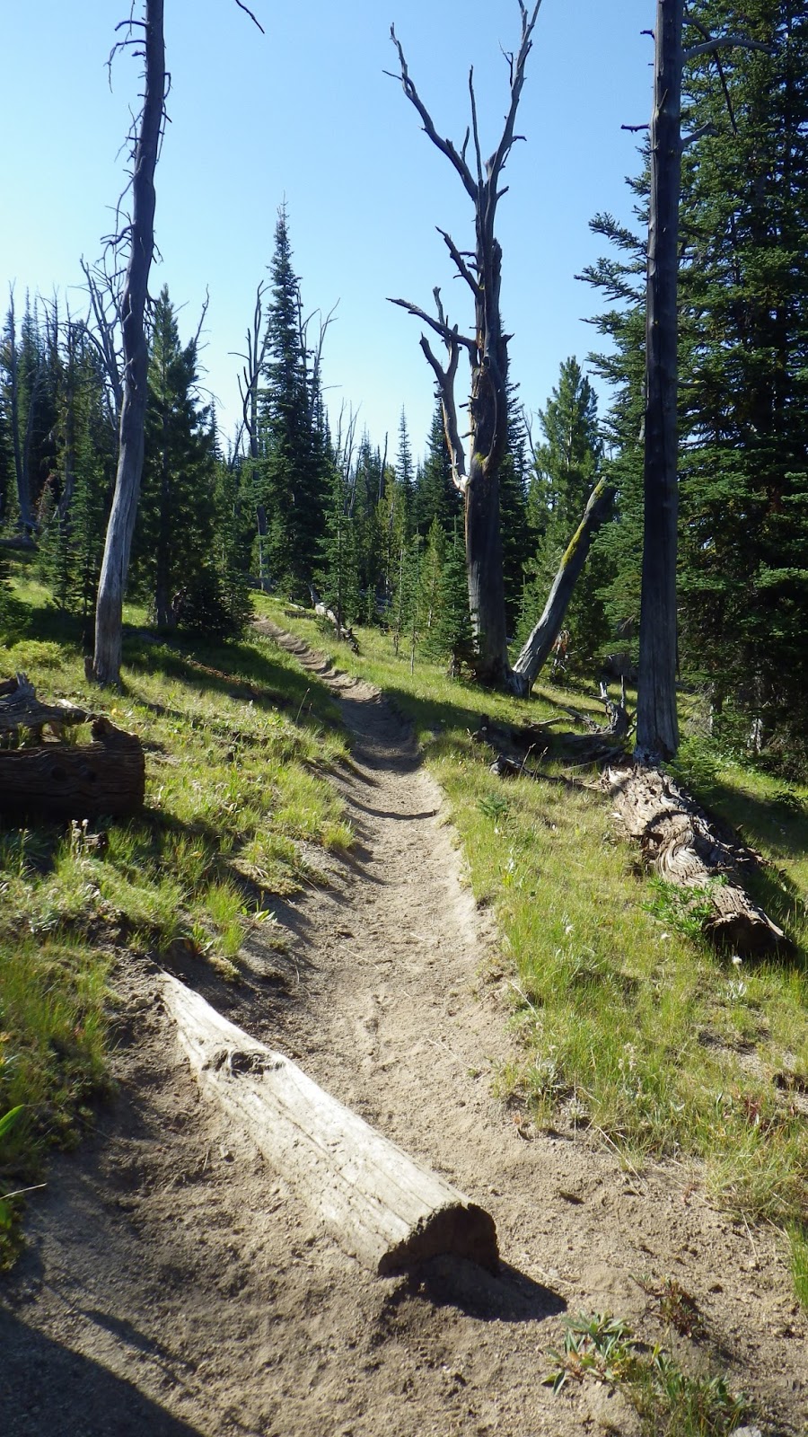
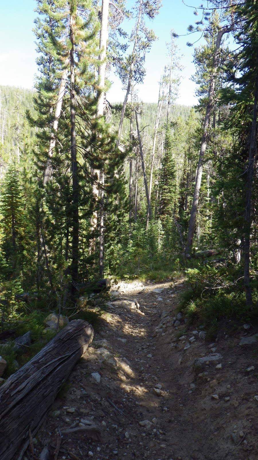
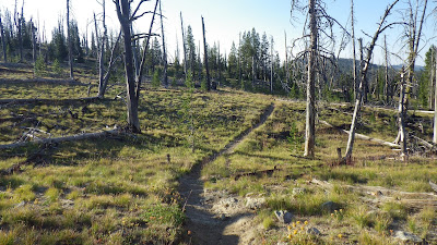
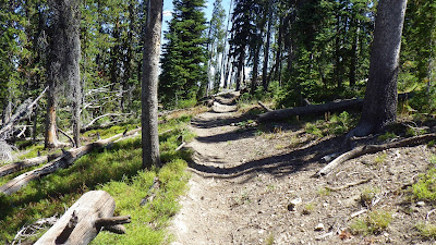
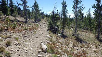
| The trail wasted no time in heading up. |
And when I reached the top of another saddle, I didn’t see any water. I thought it would be close to Chicken Spring, but no. And it was 40 minutes from our campsite so, again, good thing we didn’t push on yesterday.
I waited for Ambrose to catch up and take care of some business. Then I started my zoom-pause cycle again. I wasn’t setting the time, because we were planning on stopping at the next water on the trail.
 |
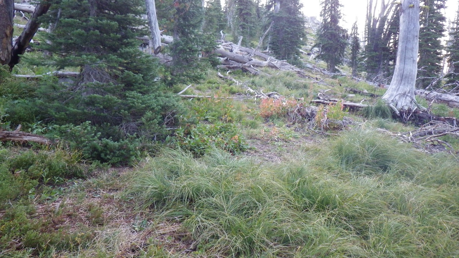
| Everything was so green, but there was no water up here. |
 |
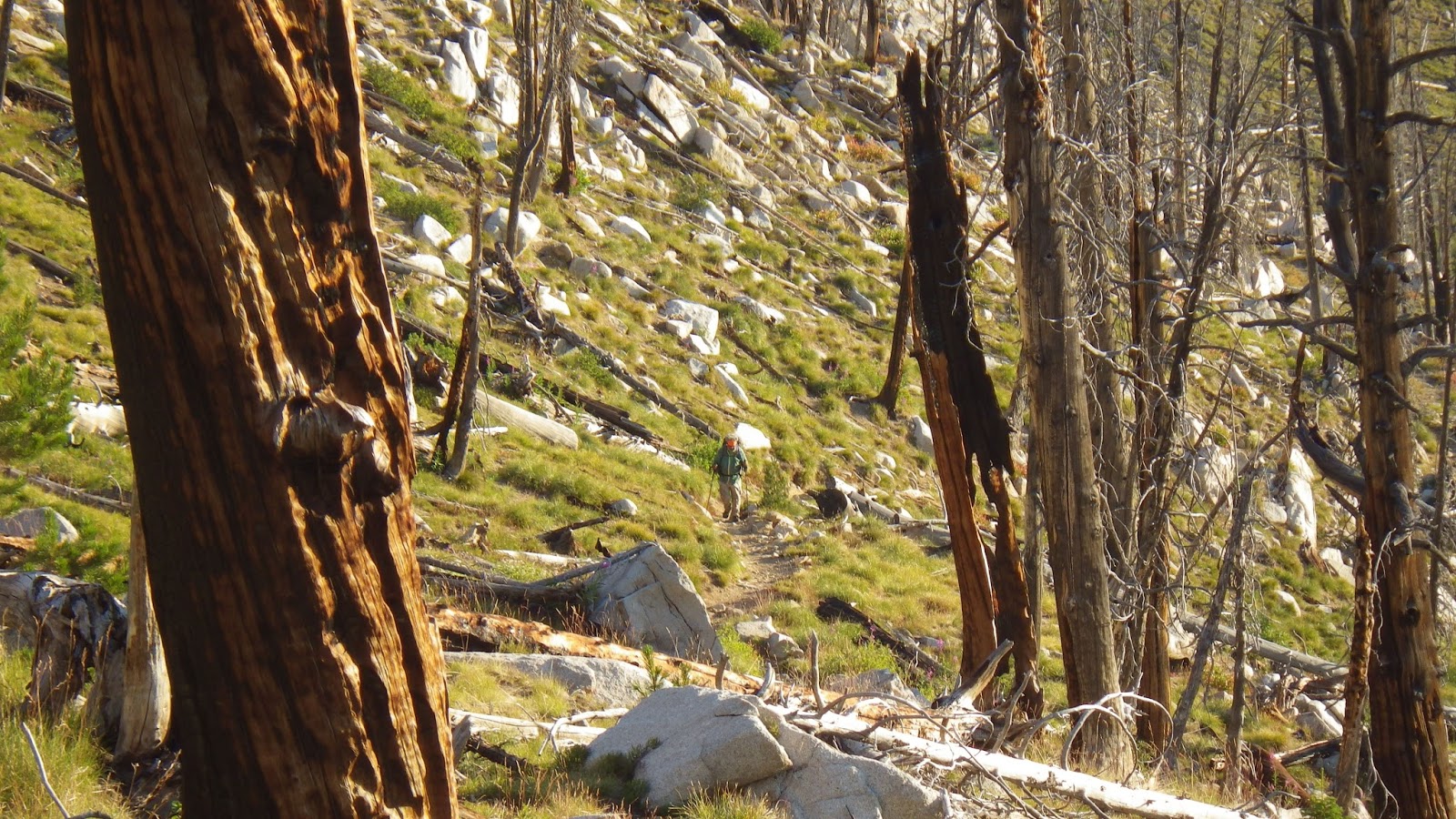
| Looking back down at Ambrose from a switchback. |
 |
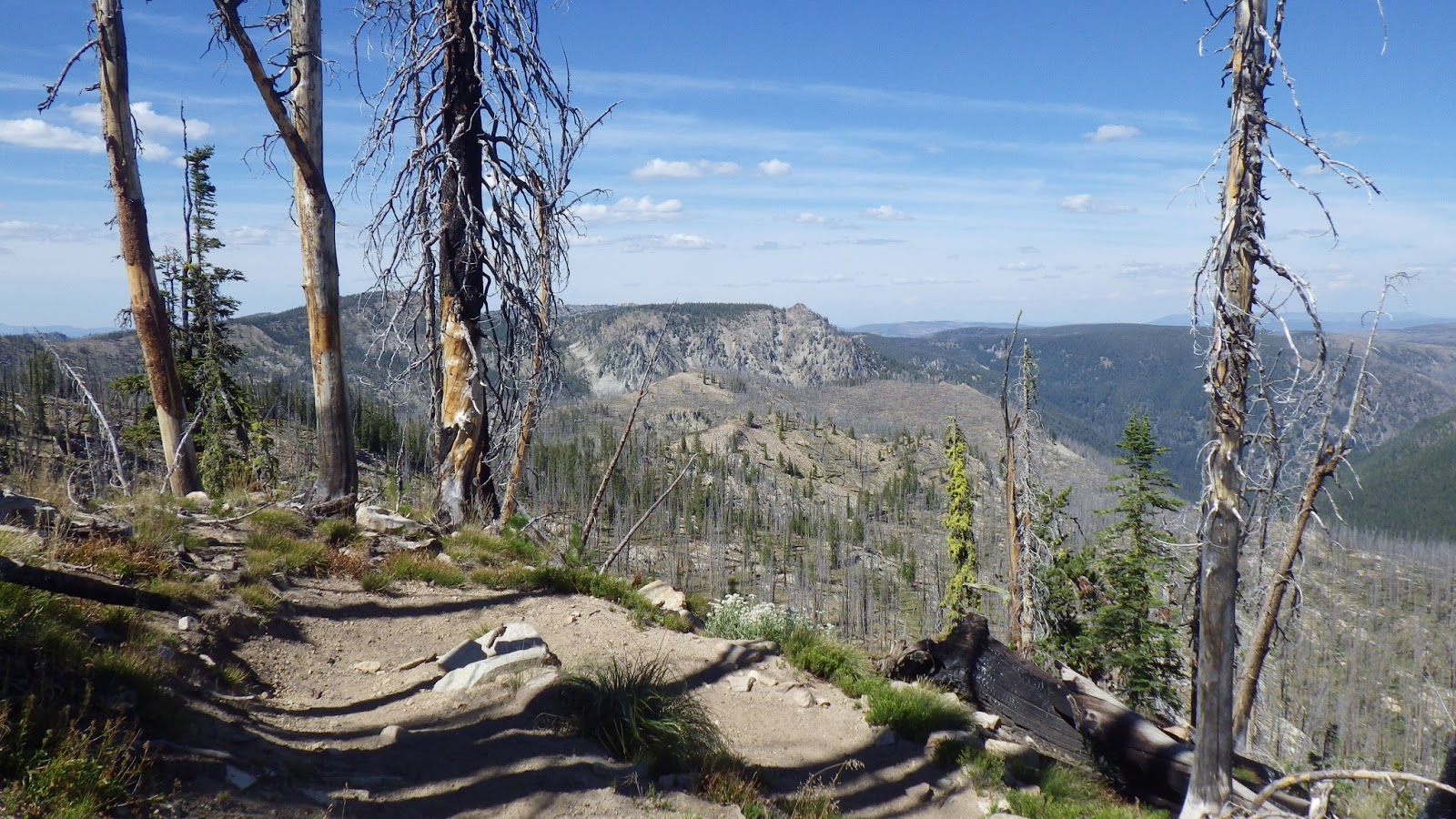
| This would be a really nice place to camp if it had a water source. |
I hiked down and hated it, because I knew we would have to regain all that elevation and more before we topped out for the day. But again, the scenery was too beautiful to hold onto any negative emotions.
I’d been hoping that the next spring would be better than Chicken Spring, and Ambrose was hoping for that as well, because we made the decision not to refill our bladders until we reached that next spring. Unfortunately, this spring was nearly stagnant, muddy bottomed and full of debris. I’m a pretty smooth scooper when it comes to getting water out of streams and pools, but I couldn’t even get a cup of water without dead bugs and leaves in it. I was so distracted by our water situation that I never even took any pictures of the so-called springs.
 |
| The trail soon before the springs. |
Now, our filters are pretty good, but they aren’t perfect. They aren’t going to turn mud into water. They got slow as we tried to refill our bladders.
And then we decided that it was time to try something else. I used a bandana to pre-filter the dirty water into one of our nalgene bottles, and then poured the debris free water into a water bag. Ambrose was in charge of filling the bladders from the water bag. And with that innovation, the filtering went a lot faster.
It took a long time to filter our water, partly because Ambrose also insisted that we drink some coconut water from the clean nalgene bottle. And partly because of that whole slow filtering thing. The springs on this trip have not lived up to my expectations – but water is water. We needed it.
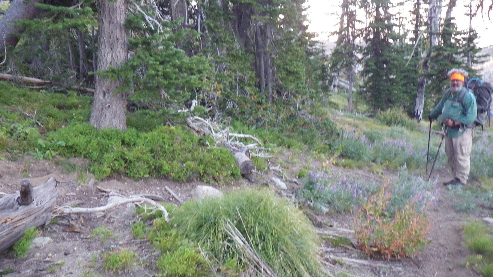
I went back to timing 50 minute intervals for our hiking, but I stayed pretty close to Ambrose at first because there were several junctions that I stopped at to wait for him. There were also some great views just off the trail that I explored because my feet were doing pretty well. Usually, my feet just hurt every day within hours of starting my hiking day, but my new boots seemed to be doing the trick. They were sore, but not so sore that I didn’t feel like I could “waste” steps just for scenery.
 |
| So much to look at! |
 |
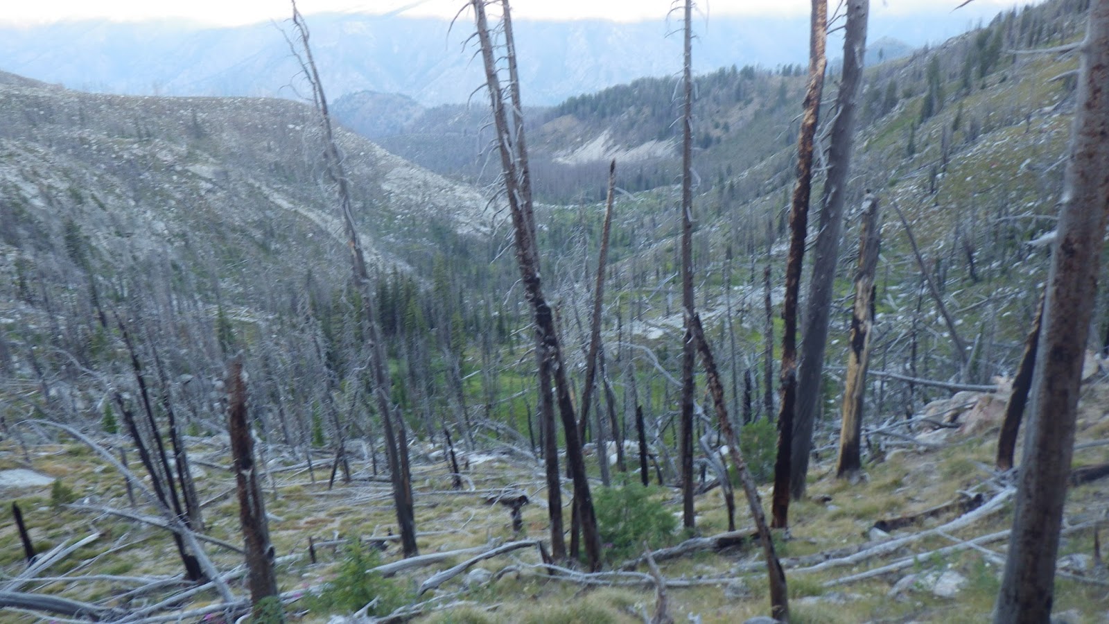
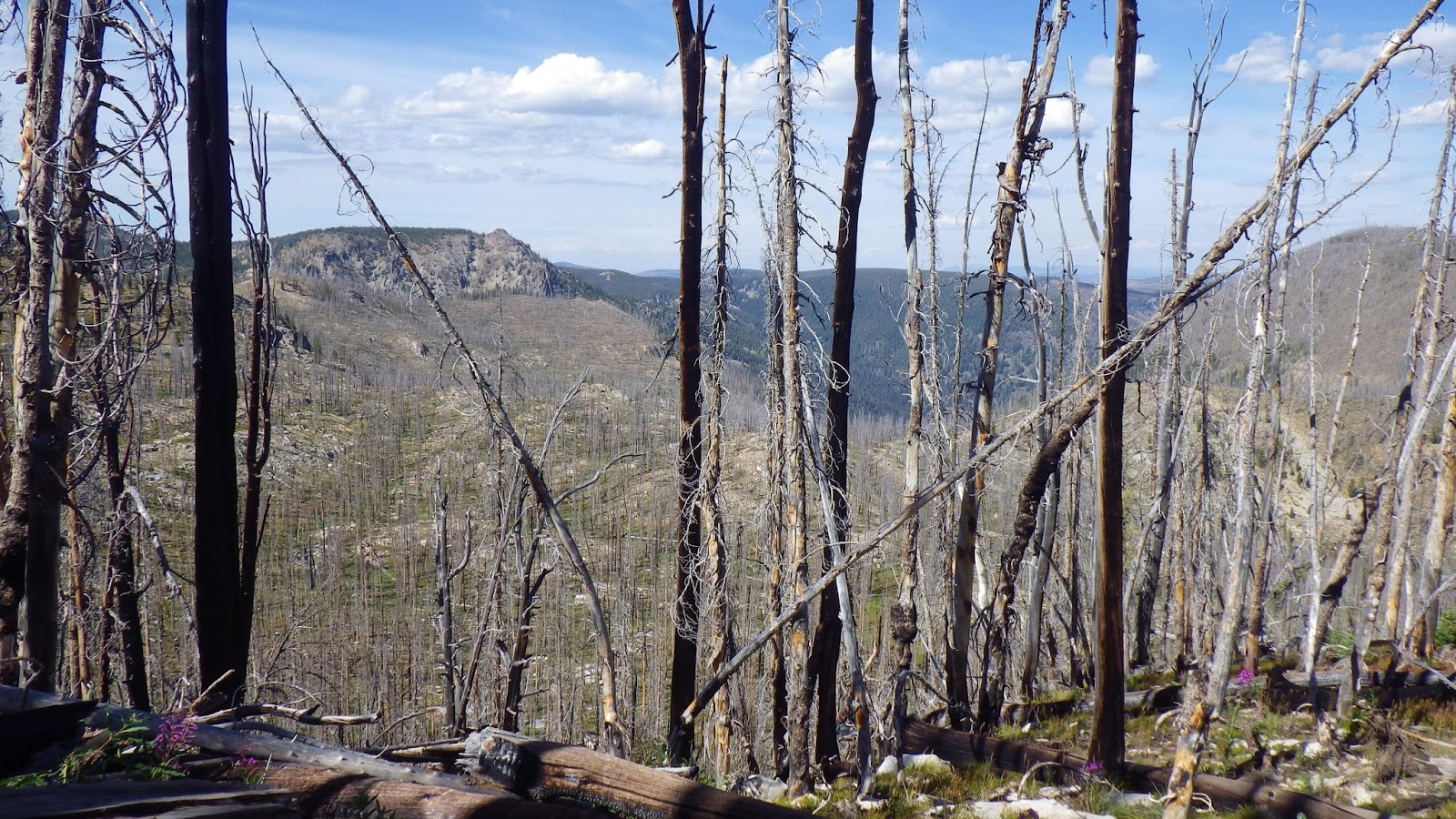
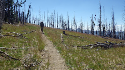
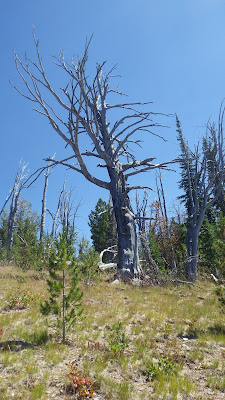
| Even though some trees were burned and dead, the scenery was still amazing to me. The new growth and the old together. |
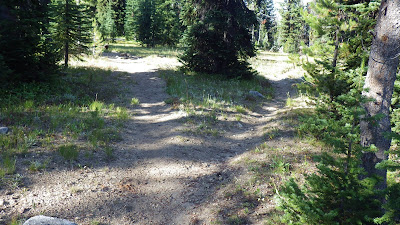 |
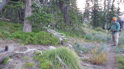
| Had to stop here – no passing junctions without your partner! |
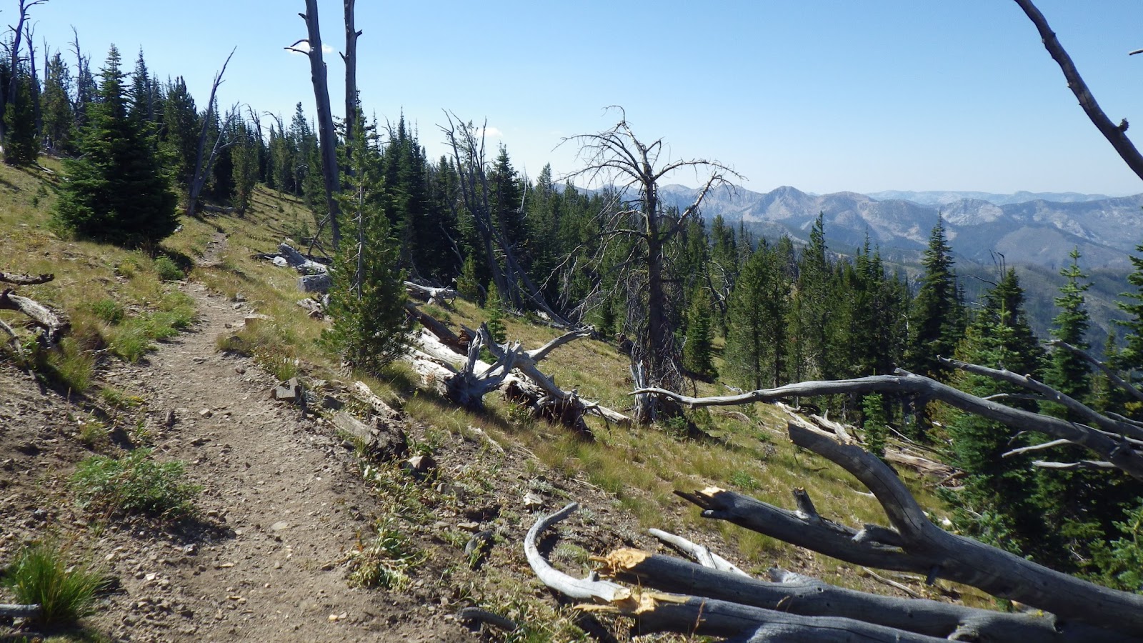
According to the guidebook, we would round a corner, cross a saddle and then start switchbacking up. I rounded the corner all right, and there was definitely a saddle, but the trail just went up. It was steep, but not switchbacked. Even with the GPS defining our location according to satellites, I wasn’t comfortable not having the paper topo map. It would probably have been better if the trail was on the GPS, but it wasn’t. I was still carrying the device, because I knew that Ambrose would have to keep moving steadily if we wanted to reach the car that day.
We did reach the switchbacks after crossing another saddle. The trail stayed mostly on the west side of Mosquito Ridge, but as we got higher, there were times that we were on top of the ridge and able to see to either side. The trail was headed up again, but not switchbacking.
 |
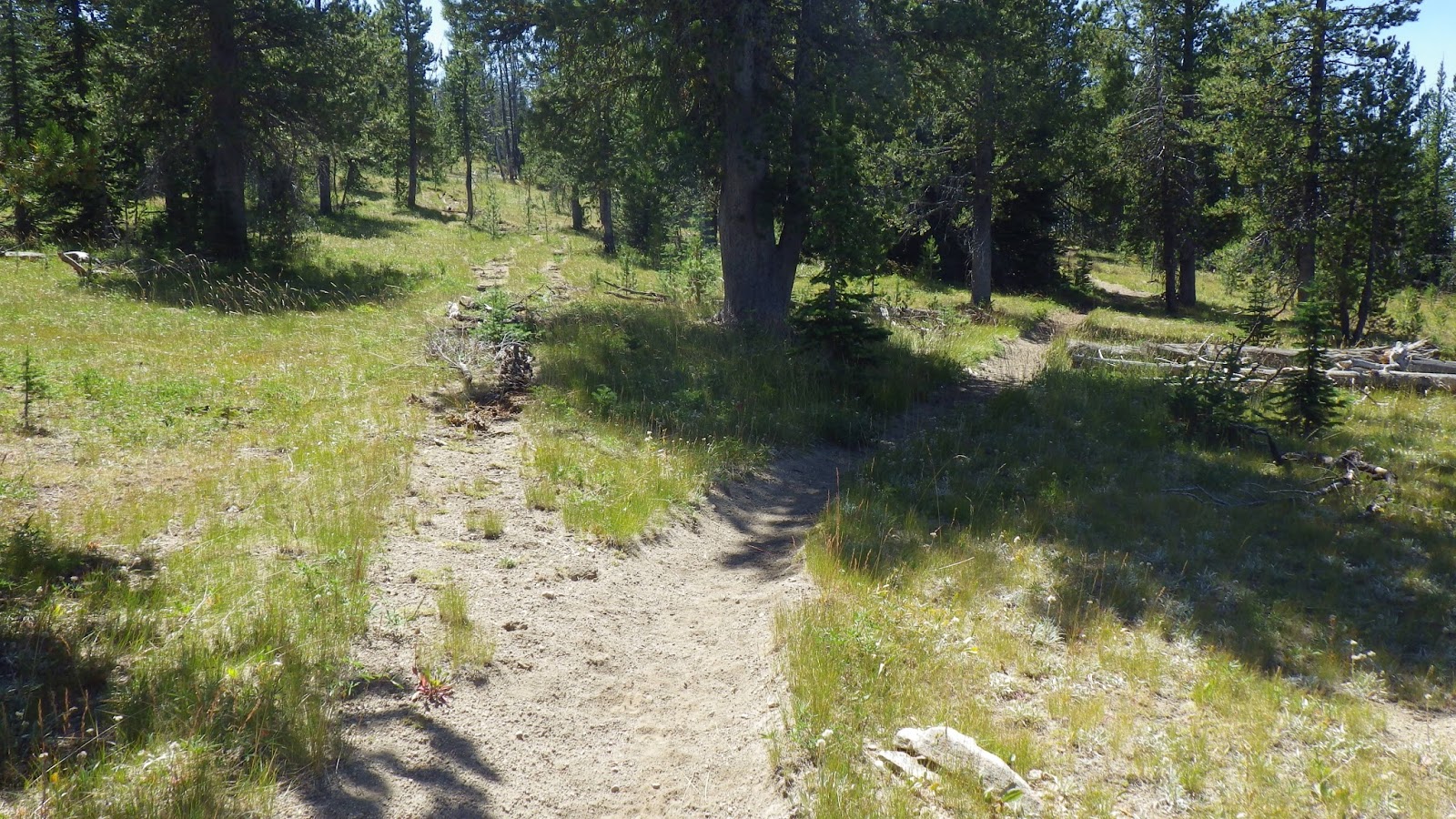
| Another junction. Was it on the map? I didn’t know. |
 |
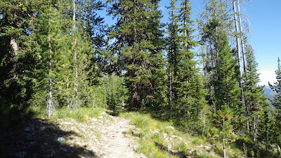
| Heading up through evergreens and old snags. |
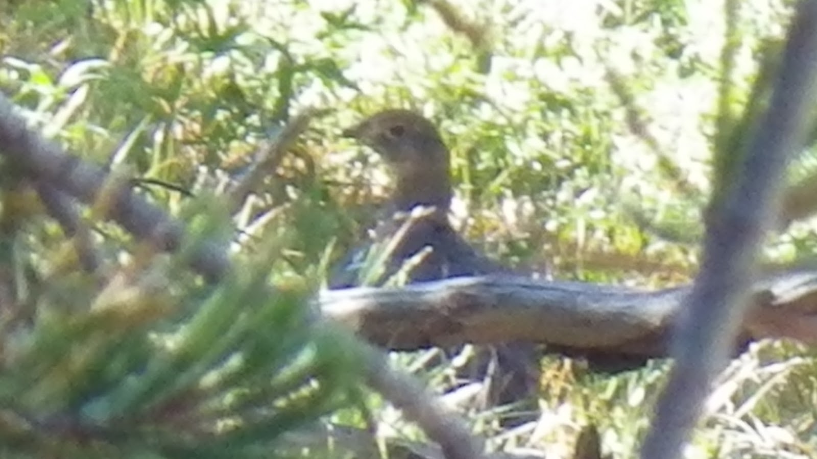
 |
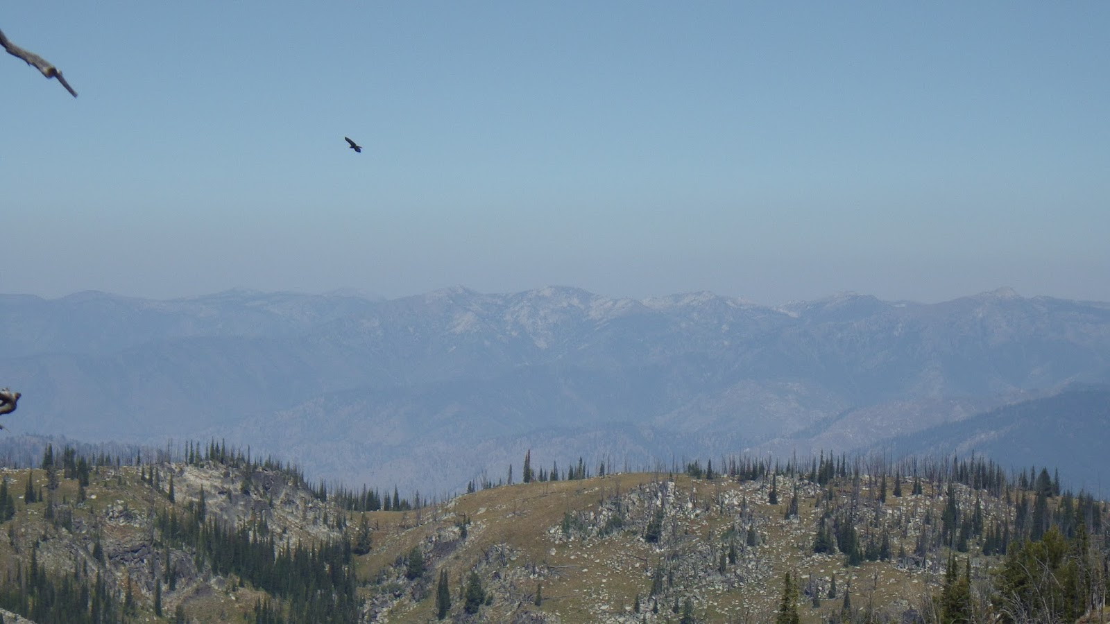
| Portrait of a bird. |
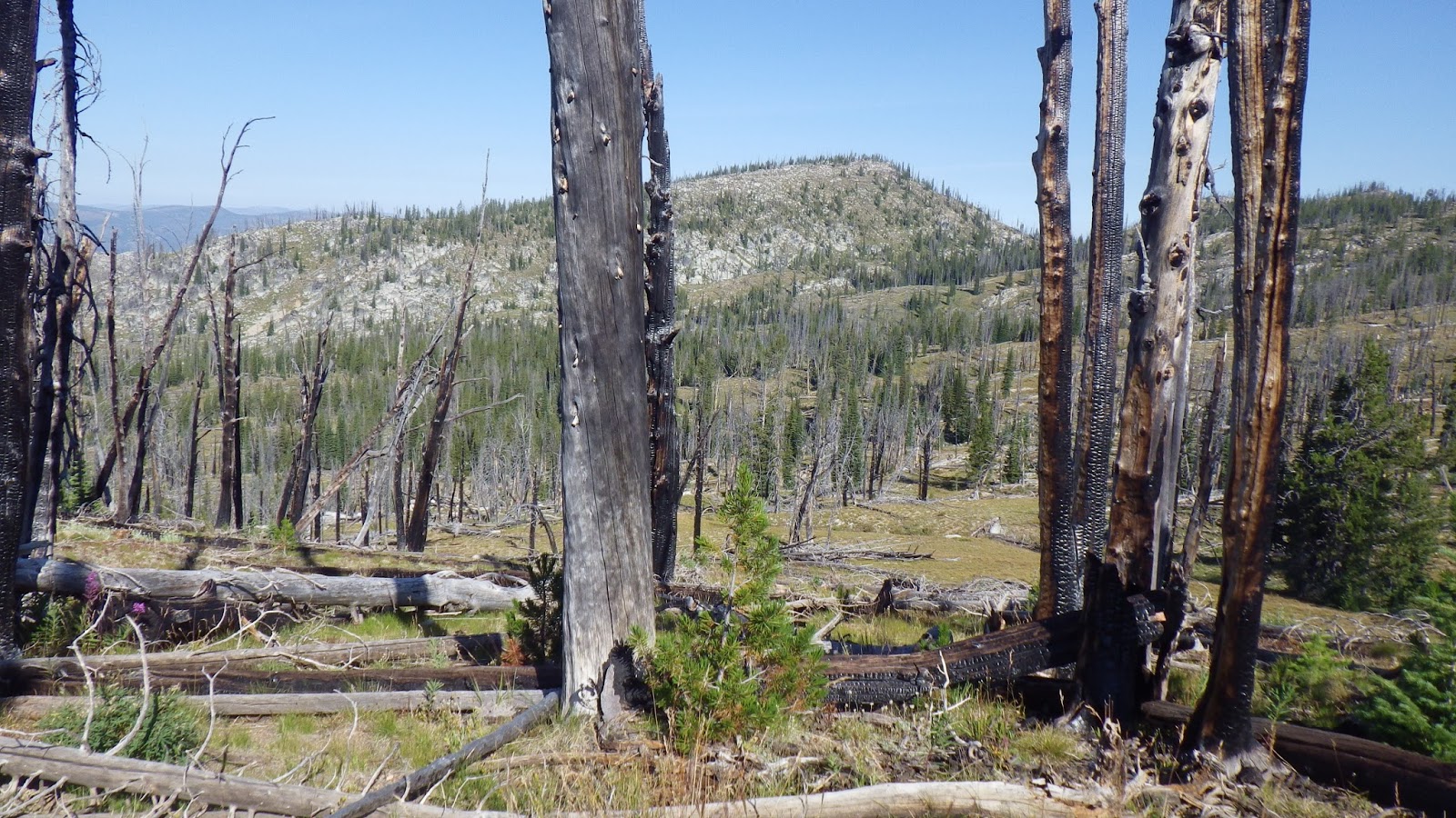
I knew that we had to get to the high point of the day, nearly 9000 feet before we would be back on the maps I was carrying, and I had that ambivalent feeling about reaching it. The closer we got to that point, the sooner we’d be getting to the car, leaving the wilderness, ending this great adventure.
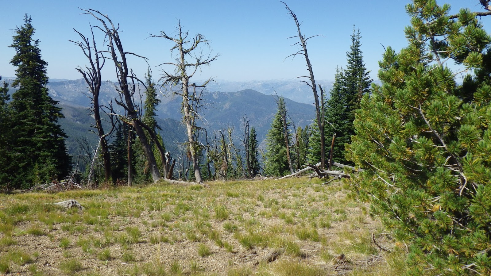
 |
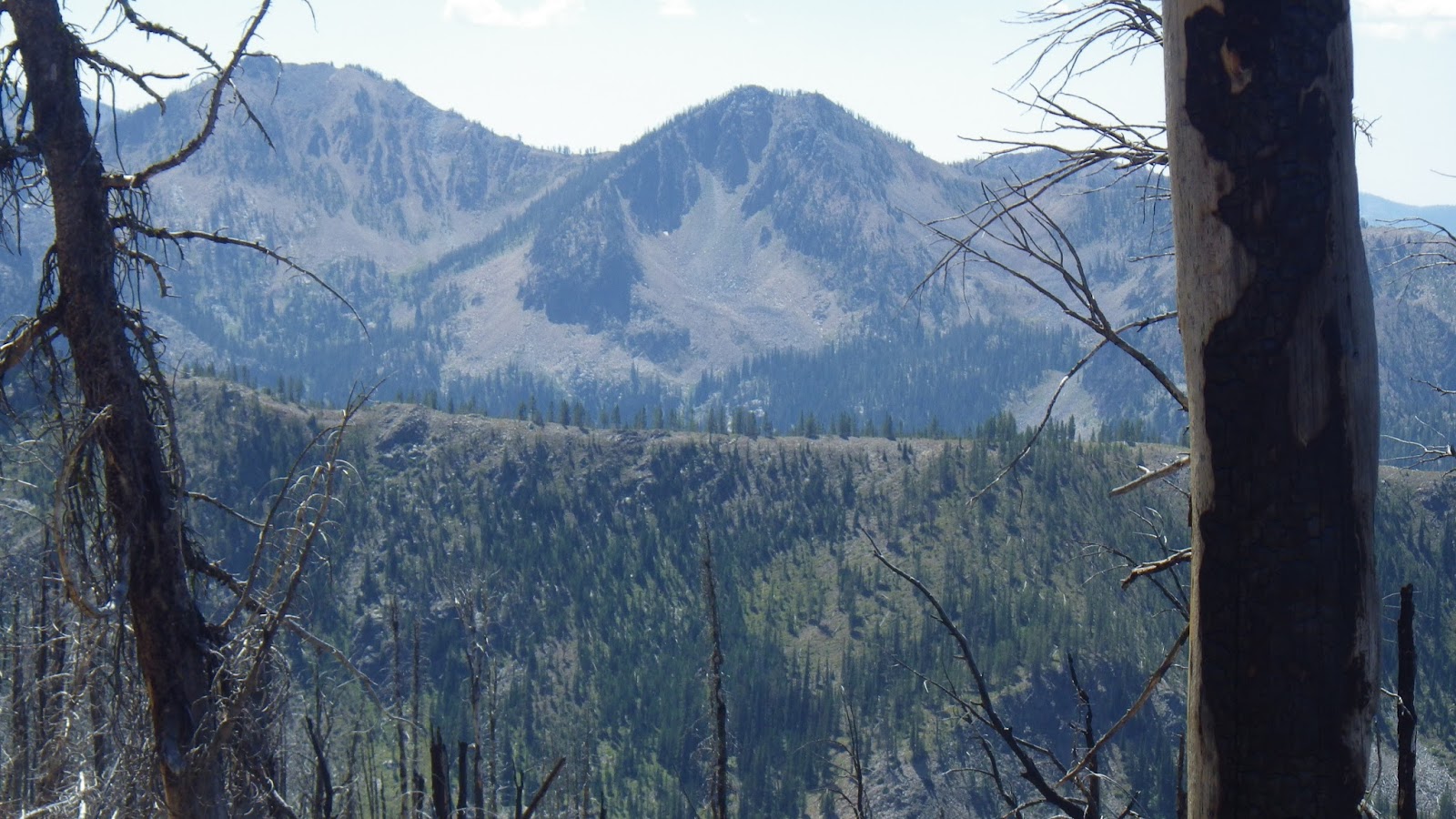
| I wished for a little less haze in the distance, but enjoyed the views nonetheless. |
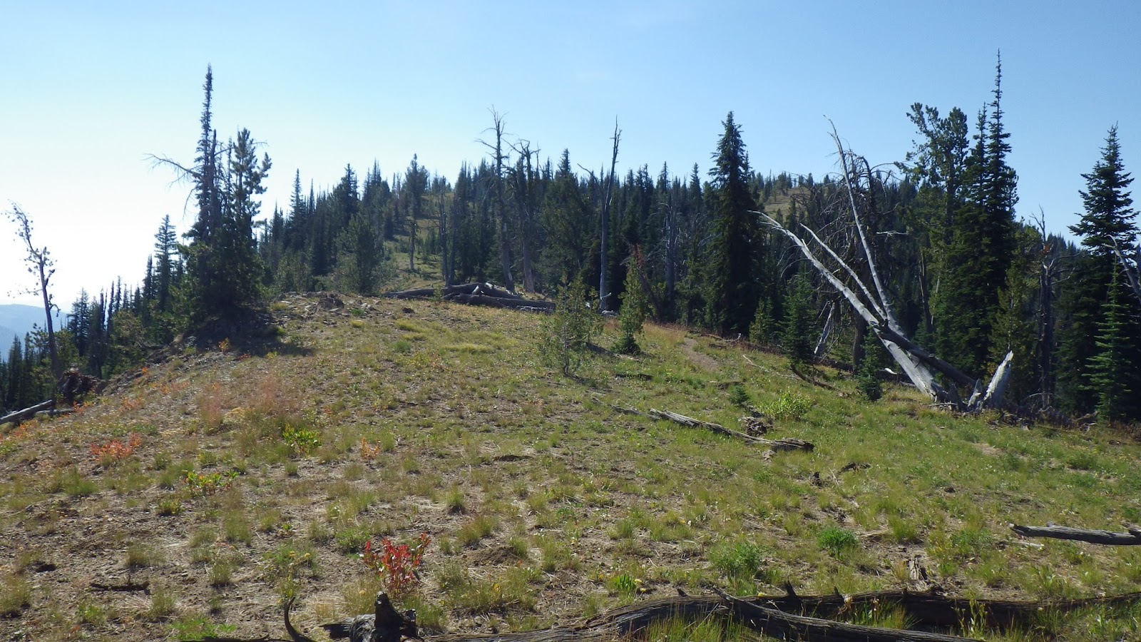
 |
| More uphills on the way. |
 |
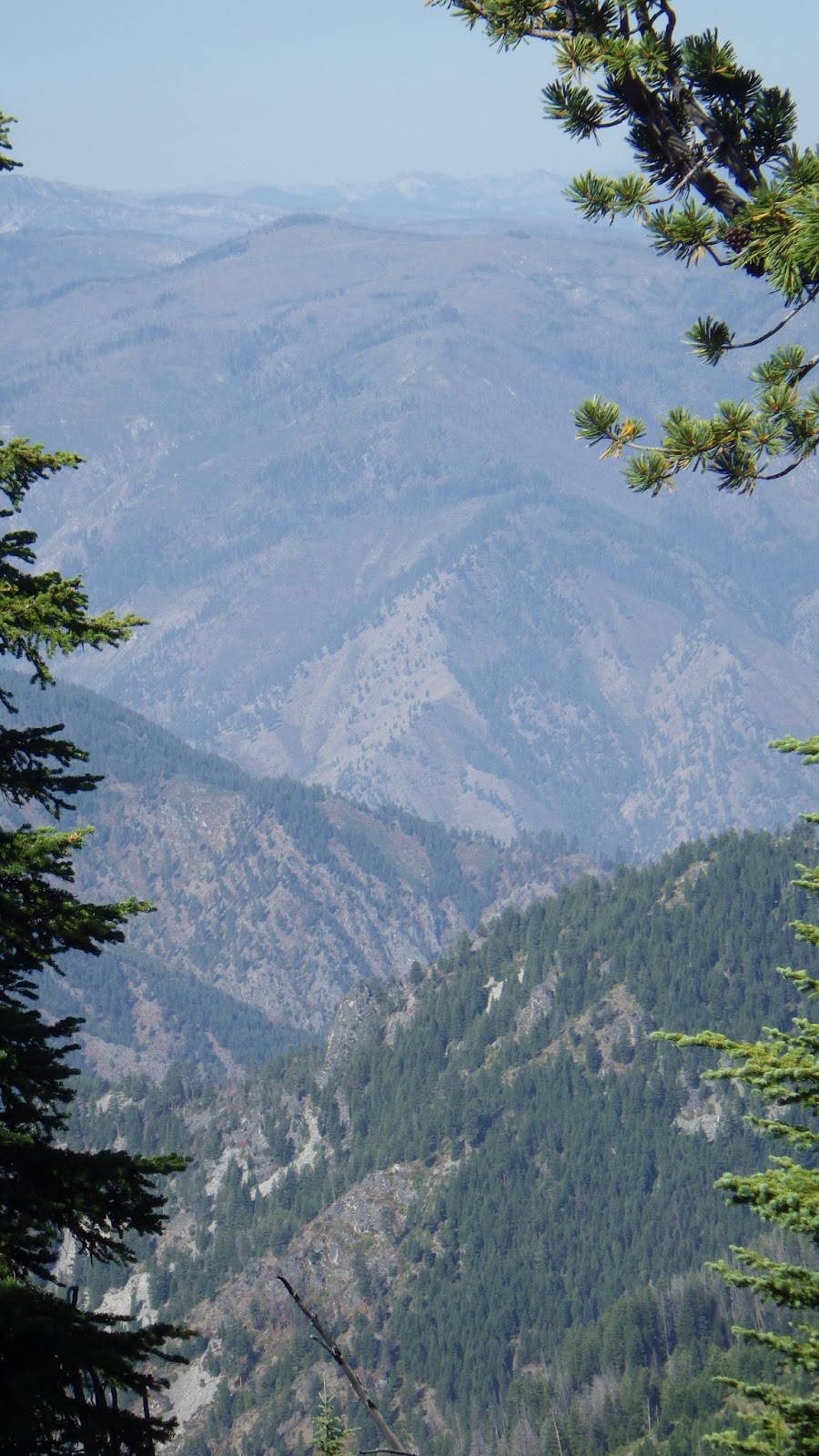
| Oh, to explore those valleys and mountains. |
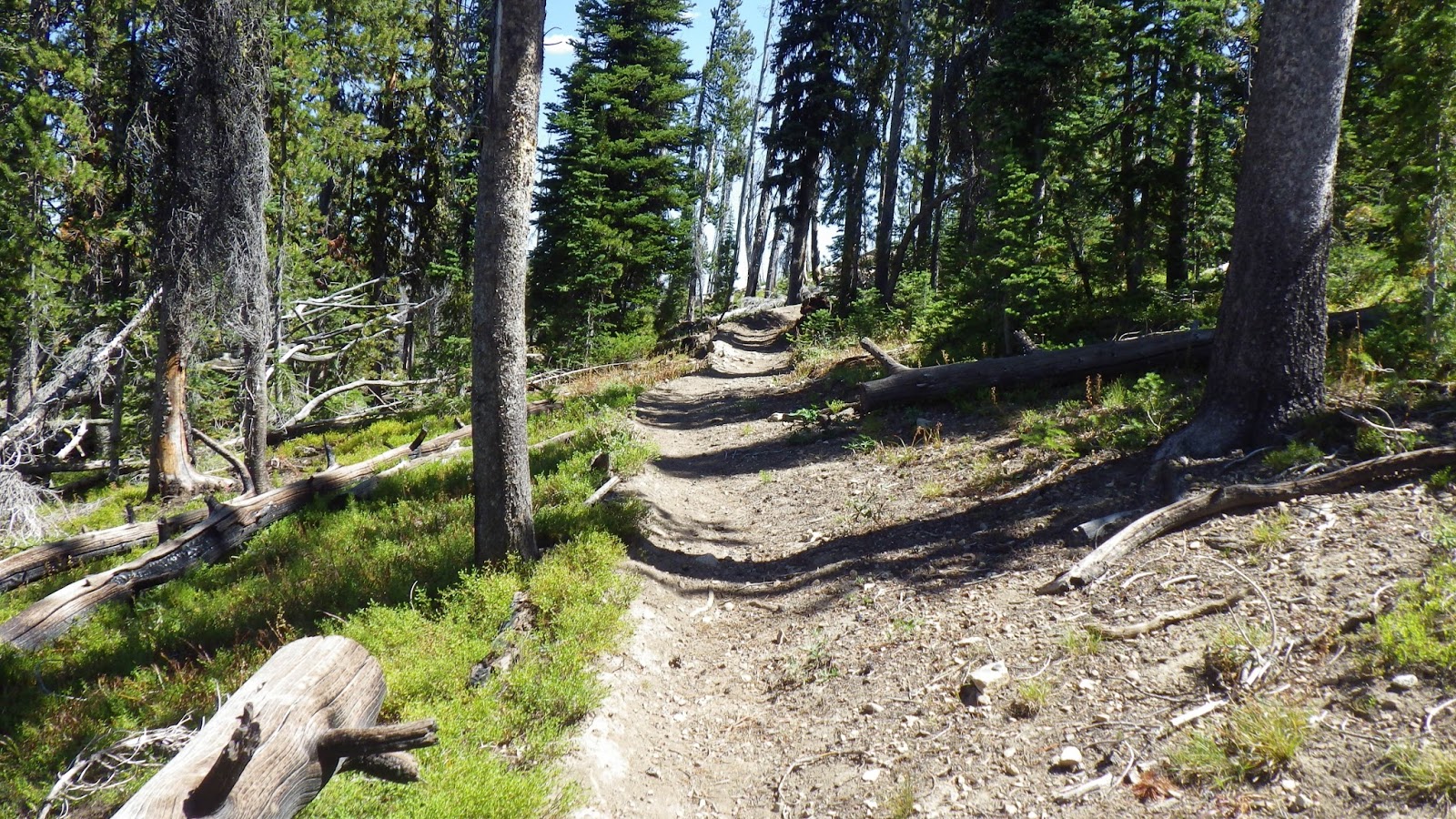
There were places where you could see that the trail used to be a road. It was wide and had clear wheel ruts in the dirt. But most of the trail wasn’t like that. It had been reconfigured not to accommodate vehicles, to keep the trail only for feet.
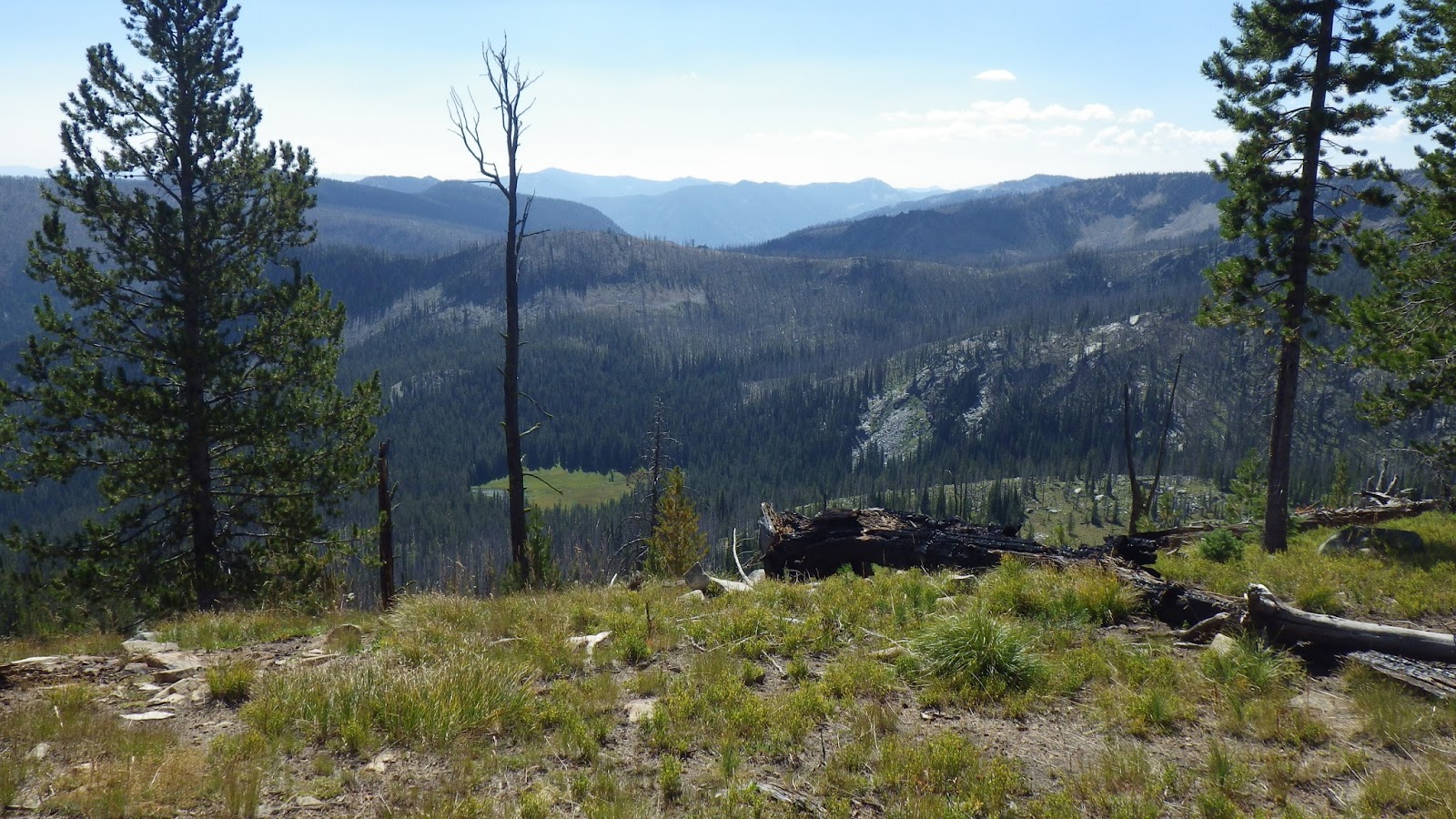
To the east, I saw the glint of water far below. The green meadow in which it resided was probably too boggy for camping, but I still thought about exploring it some day. Going off trail to reach places that even the small minority of people who come into this wilderness have not all been.
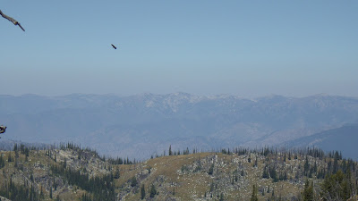 |
| I caught that wheeling bird with a great deal of luck. |
 |
| We weren’t topped out yet. |
 |
| The meadow looked perfect from above, but was probably boggy. |
I missed my topo map as we continued to traverse the ridgeline. I could see distinctive features to the south and west, but I didn’t have the map to compare them to. Sure, the GPS could tell me some things, but I wanted the topo. I wanted to be able to practice my map skills with these features. I felt confident that I would have been able to find that right angled ridge on the map if only I had had it. Of course, we were by now on the map that I had actually decided to leave at home because we were only going to be on it for a couple miles.
 |
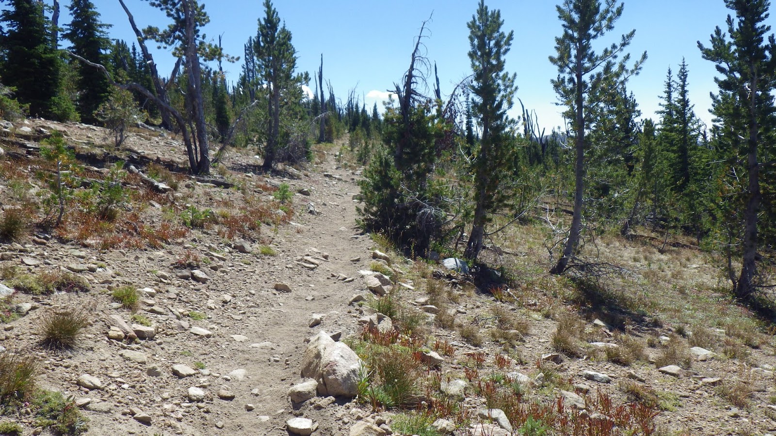
| Still going up. |
 |
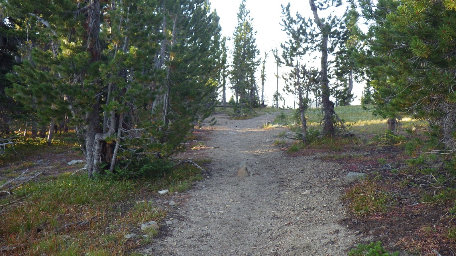
| Double track, as if wheeled vehicles had come this way. |
 |
| One last false junction before the top out. |
 |
| We just had to keep heading up a little while longer. |
I could feel the high saddle was approaching by the increase in the wind on my face. It didn’t look very special when I got there, but I knew it was the highest point of our day. The last true uphill until we crossed the Smith Creek bridge just before the car’s parking lot.
I stopped for lunch in the shade of a tree close to a rock. I leaned against my pack, took my boots and socks off and propped my feet on the rock while I read and ate. Ambrose joined me eventually and also ate lunch. It was a good thing we were down to just bars for lunch because there was no water to make anything dehydrated.
 |
| With a topo map, I would have had a chance to identify these mountains and that long ridge. |
 |
| Soon, I’d leave this western view behind. |
 |
| A particularly witchy snag caught my fancy. |
 |
| Just about at the saddle. |
We talked about our plans for the rest of the day. According to the guidebook, we had some switchbacks down to a saddle, and then 21 switchbacks down to the jeep road. From the jeep road, another couple miles down to Smith Creek Road and three or four miles to the parking lot from there. We decided that once we reached the jeep road, I should go ahead as fast as I could and get to the car. Then, I should try and drive the car as far as I could to pick Ambrose up.
This was going to be a gamble, because the chances that I could get our Ford Focus down that road at all weren’t great. But we both felt it was worth a try.
As we hiked down the first set of switchbacks, there was clear evidence of recent trail maintenance. I fantasized about finding an ATV on the jeep road with people who would be willing to give Ambrose a ride back to the car. And maybe give me a beer. I’d find them first, of course, and ask them to wait for Ambrose because he needed a ride more than I did. It was a pleasant thought.
I was ahead of Ambrose at the next saddle, and I had to answer a call of nature. I made sure to leave my pack visibly on the trail and found my place for business with a wonderful view to the north. According to the guidebook, I should be able to see the Sheepeater Mountain Lookout from here, but either it was too hazy or I wasn’t looking in the right place. I didn’t see any sign of the lookout, but it didn’t matter. What I did see was gorgeous enough.
 |
| No Lookout, but plenty to see. |
I got back to the trail and wasn’t sure if Ambrose had passed me or not for a moment. Then I saw that he had courteously watered the trail to let me know he was now ahead.
At the next switchback I started counting. I was back on the topo map, but it’s not easy to count switchbacks on the map because they tend to be a series of squiggles. I put my faith in the guidebook this time and promised myself a nice long break at the jeep road.
I stopped at the next 50 minute mark in the shade of a tree on the 6th switchback. I leaned on a log after I carefully examined it for ants and waited for Ambrose to catch up. He looked tired to me, but willing and able to keep going. We were both sweaty and dirty, but it felt like we were almost there. The counting really helped to keep my spirits up.
 |
| A switchback and a northern view. |
 |
| The southern view. |
 |
| A different kind of a view when the trees are alive. |
It seemed like the odd numbered switchbacks were shorter than the even ones, but I’m pretty sure I kept accurate count and there were actually 22 switchbacks before I reached the jeep road.
 |
| Switchbacking down to the jeep road. |
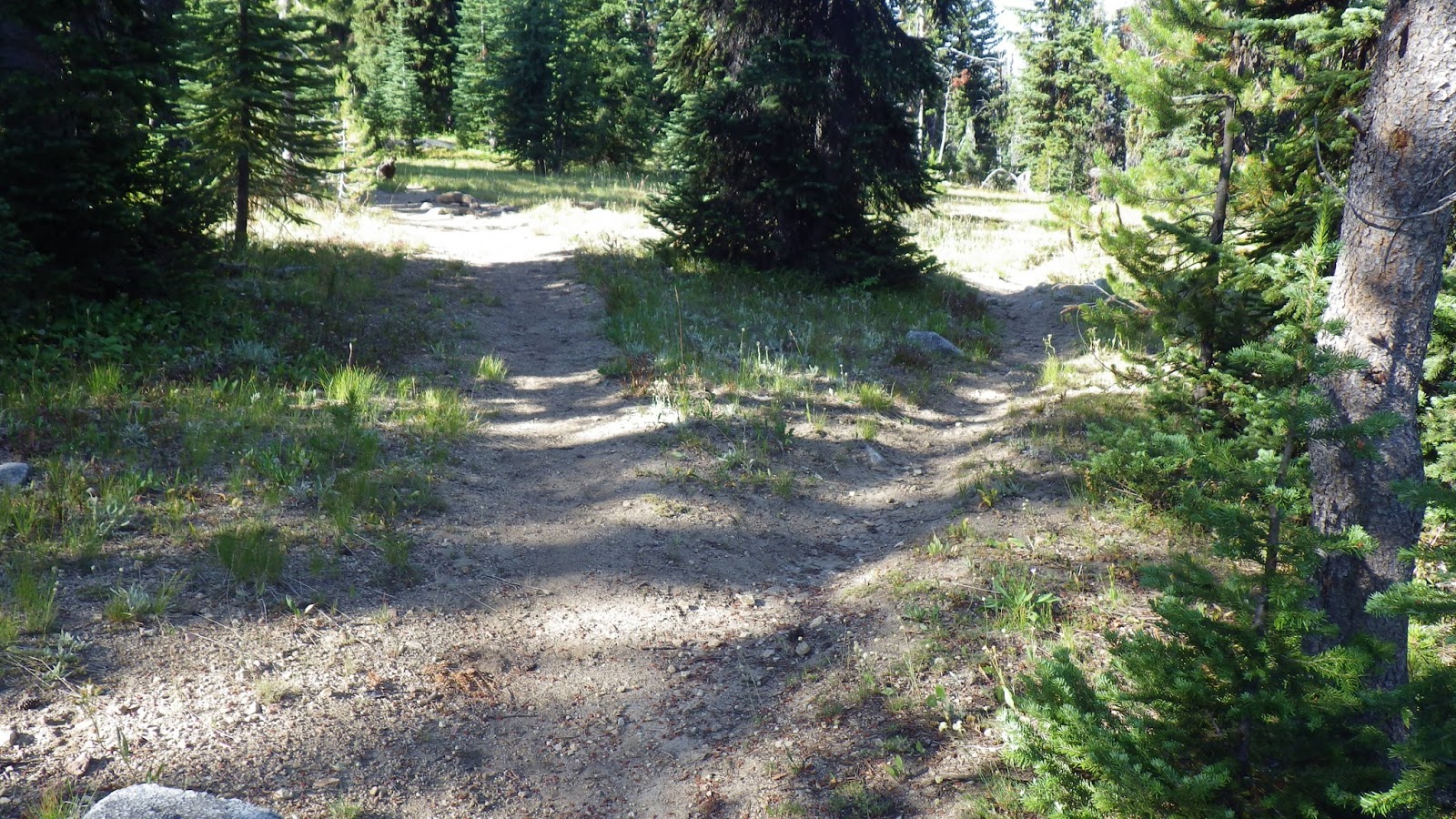
I felt like I’d won a prize when I reached the jeep road. There were signs and I could hear water, though there was no way to reach it from that point on the road (I did check). So I settled down in some grass and waited for Ambrose to catch up.
 |
| Ah, a nice patch of grass in the shade to the right. |
 |
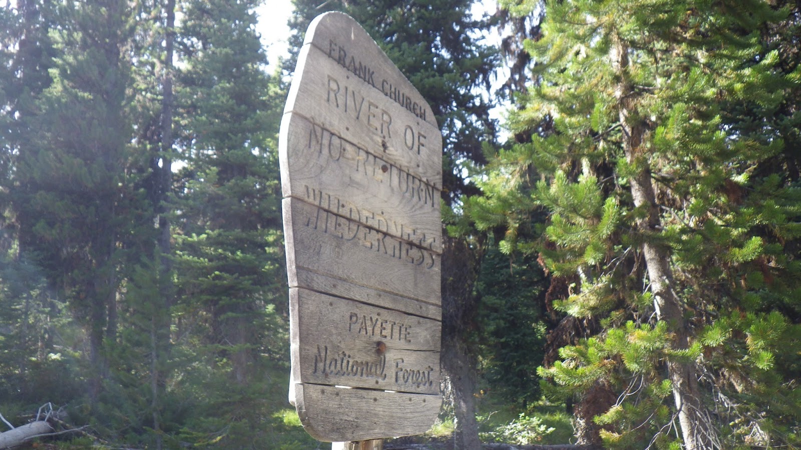
| Leaving the wilderness. |
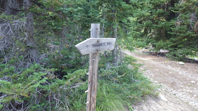 |
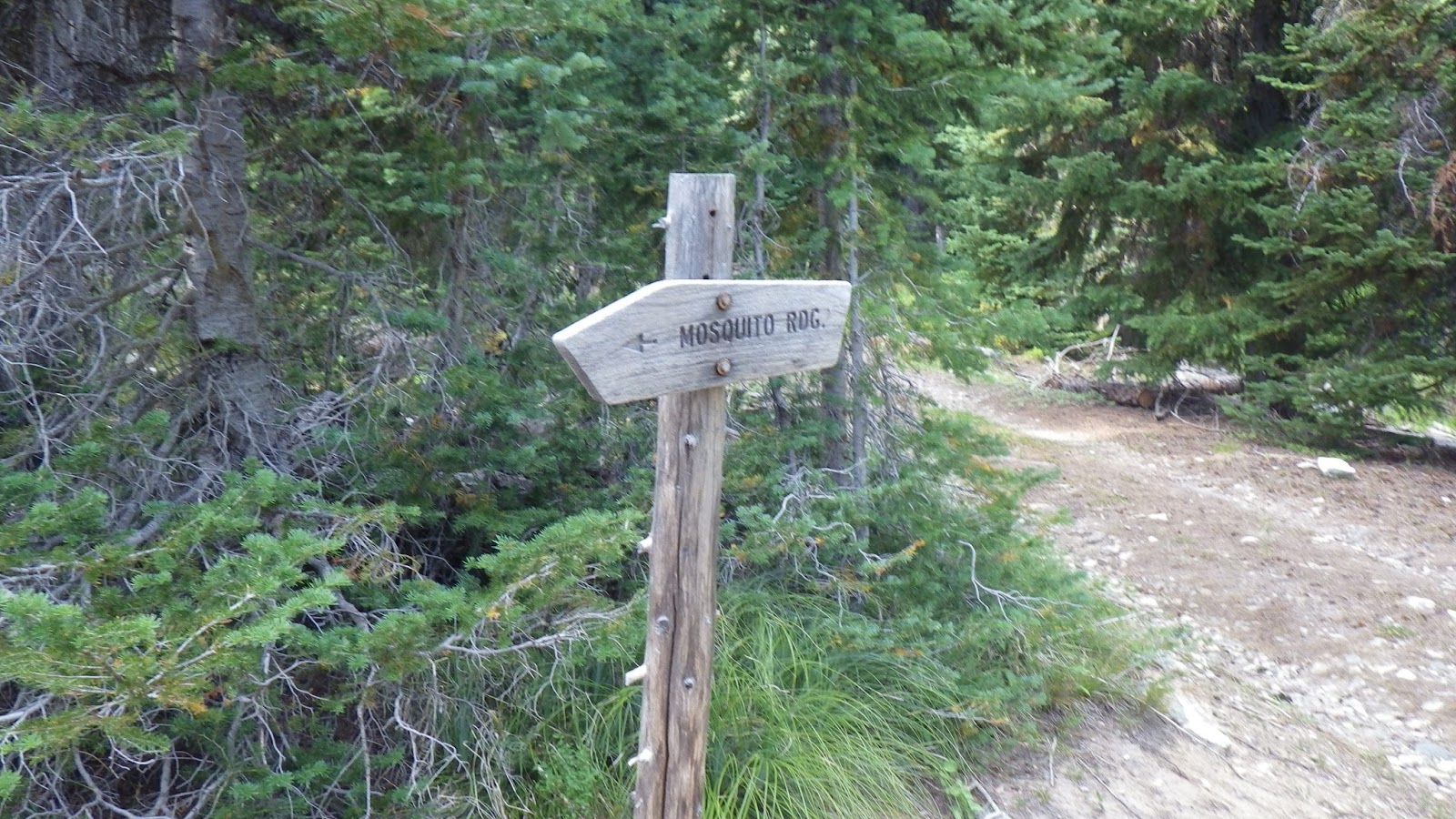
| The Mosquito Ridge sign pointing back the way I came. |
To be continued…