The week before, I had been sick, so I got to sit by the river and bathe in the sounds of nature while Ambrose went on a day hike (and did all the driving). This week, I had managed to pass my sinus infection on to Ambrose, so it was my turn to do the driving and the hiking while he sat by the river.
We got up nice and early on Saturday, and managed to leave only a little later than we had the weekend before. We made up a tiny bit of time by skipping the Warm Springs detour and just taking Broadway to 84 to 21 instead. But I wasn’t in a hurry, especially once we got onto the dirt portion of the Middle Fork Road. Hurrying on that road is a good way to get in an accident!
And I didn’t really have a set schedule for this hike anyway. Just, get to the trailhead, set Ambrose up on the bank, hike out as far as I wanted, maybe the second crossing, come back and drive home. I guess that’s quite a list of steps, but there were no times so I’ll call it unscheduled 😉
I got us safely to the trailhead – didn’t even scrape on the speed bumps in Twin Springs. The week prior, we’d had the trailhead campground to ourselves, but this week three of the four main spots were occupied. Ambrose kind of wanted to try another spot, but I was driving and I decided we could take the unoccupied spot. After all, there was no indication that the other groups were trying to claim it.
We parked without complaint, and then I helped Ambrose set up his spot. He tried to take some pictures of me as I hiked off, but there were issues with the camera and none of them came out.
I felt good as I hiked off with my day pack. I was using my Black Diamond pack, which is my go-to day pack. It’s fairly small, so it helps rein in my inclination to overpack. And it’s very comfortable, even though the hip belt is just webbing without any padding.
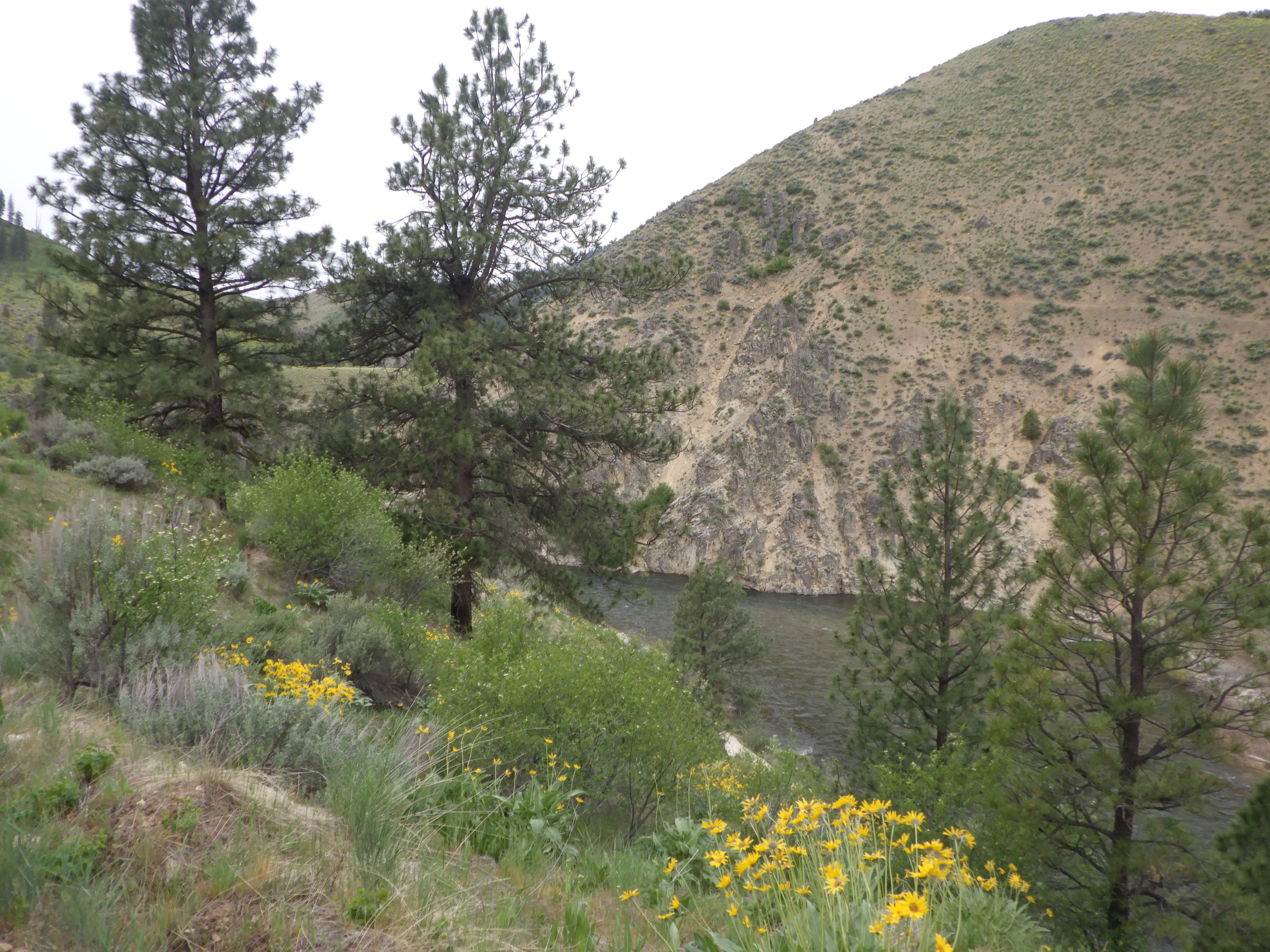
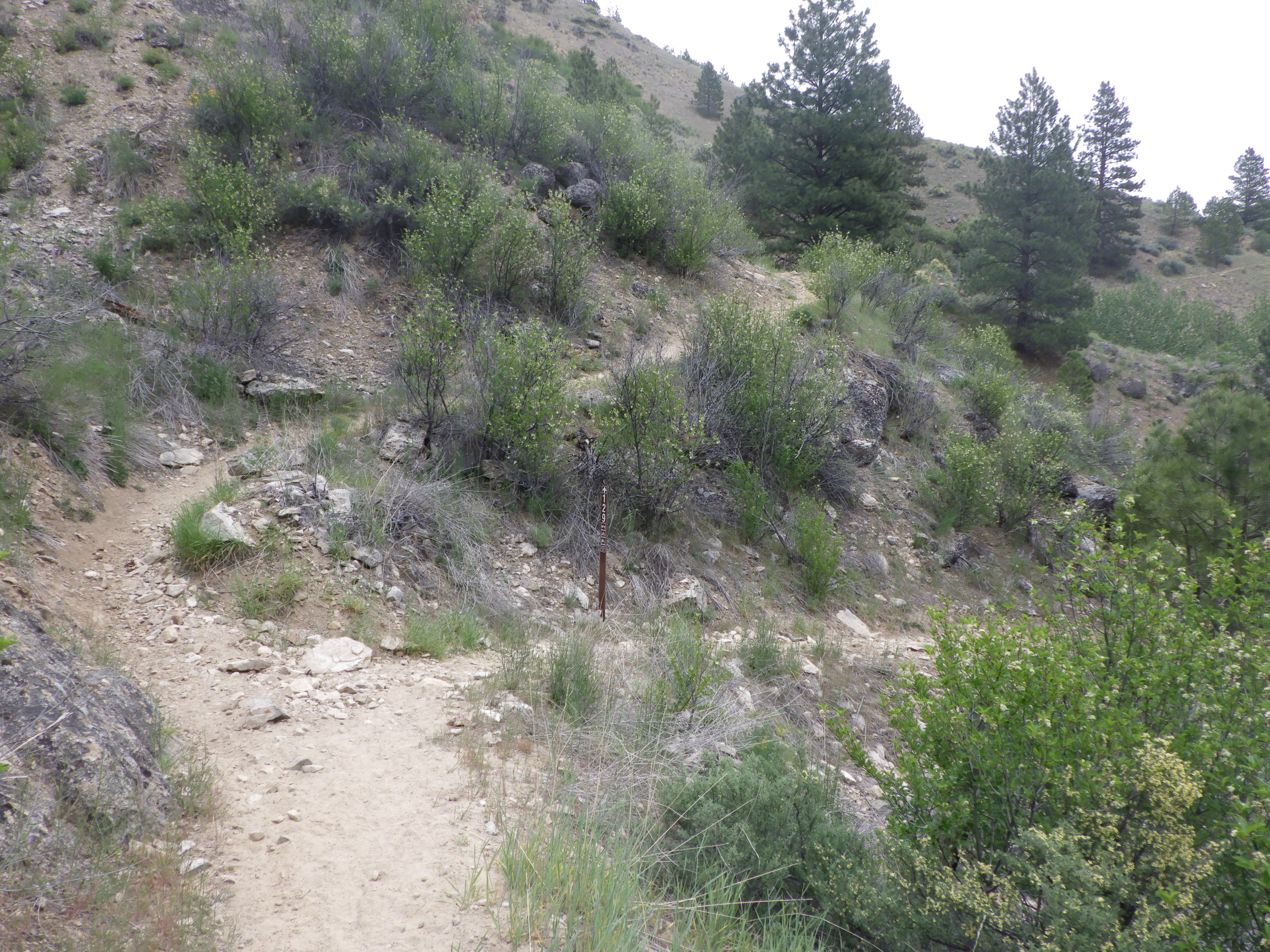
The morning was cool, very good hiking weather. I wore a long underwear shirt under my hiking shirt, and I started to warm up quickly as I proceeded up the trail. The first section climbs a bit to stay above the road. And before long, I was joining up on the old trail. Ambrose had specifically mentioned that this climb up to the saddle was much less taxing than it had been in previous years. I was glad to find I felt the same way.
 |
| Made it to Sheep Creek. |
 |
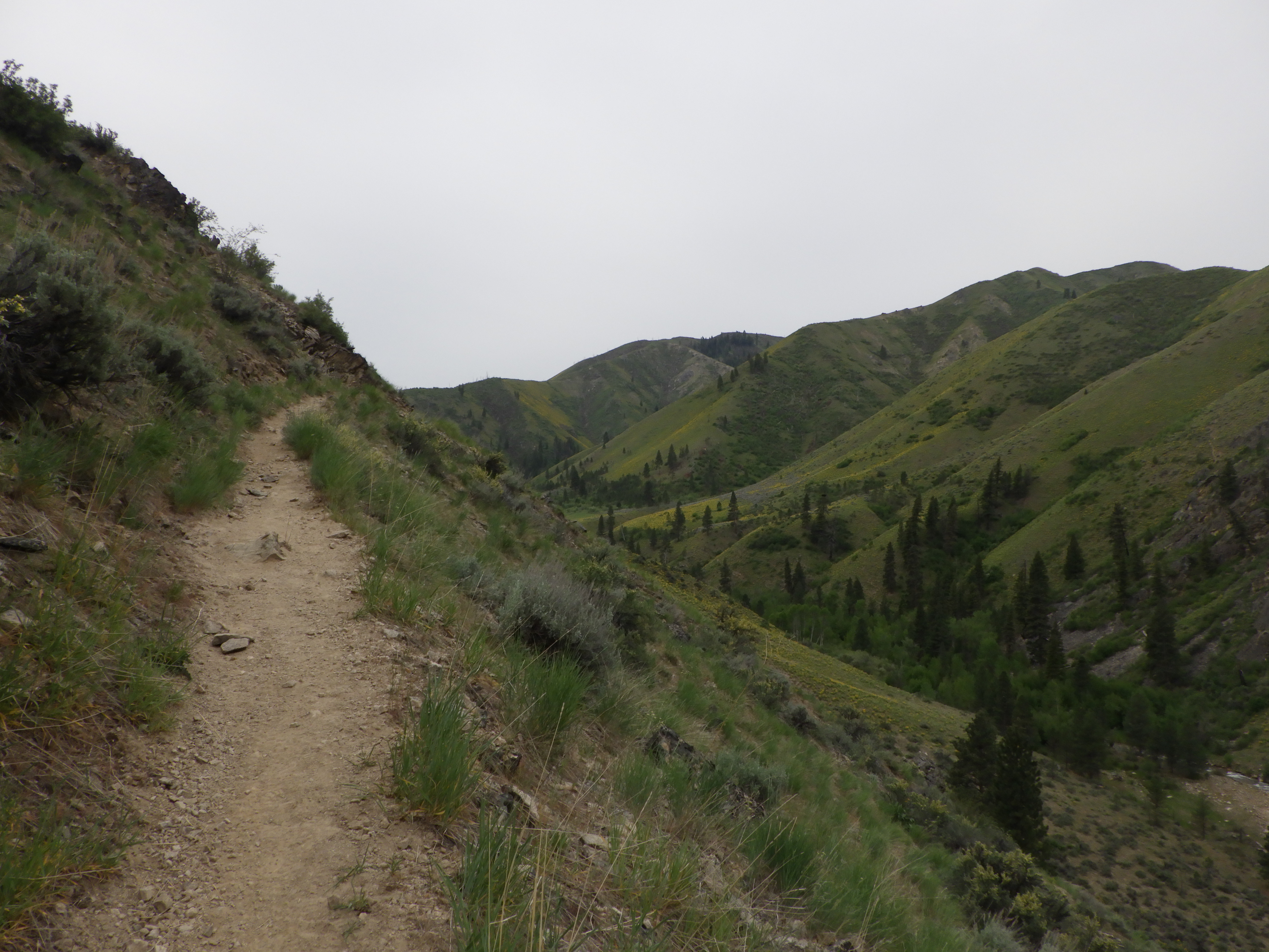
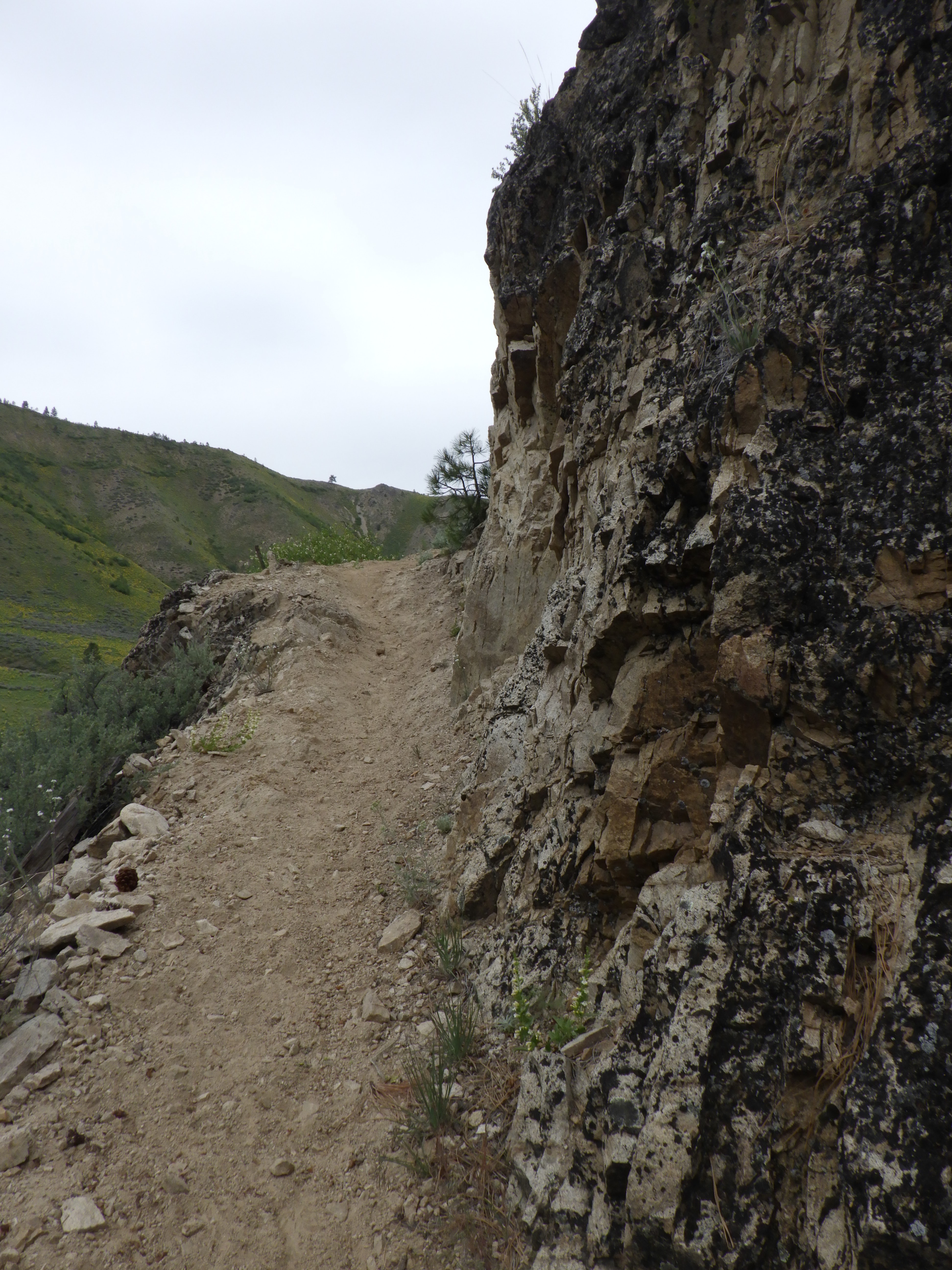
| Time to hike high above the water. |
 |
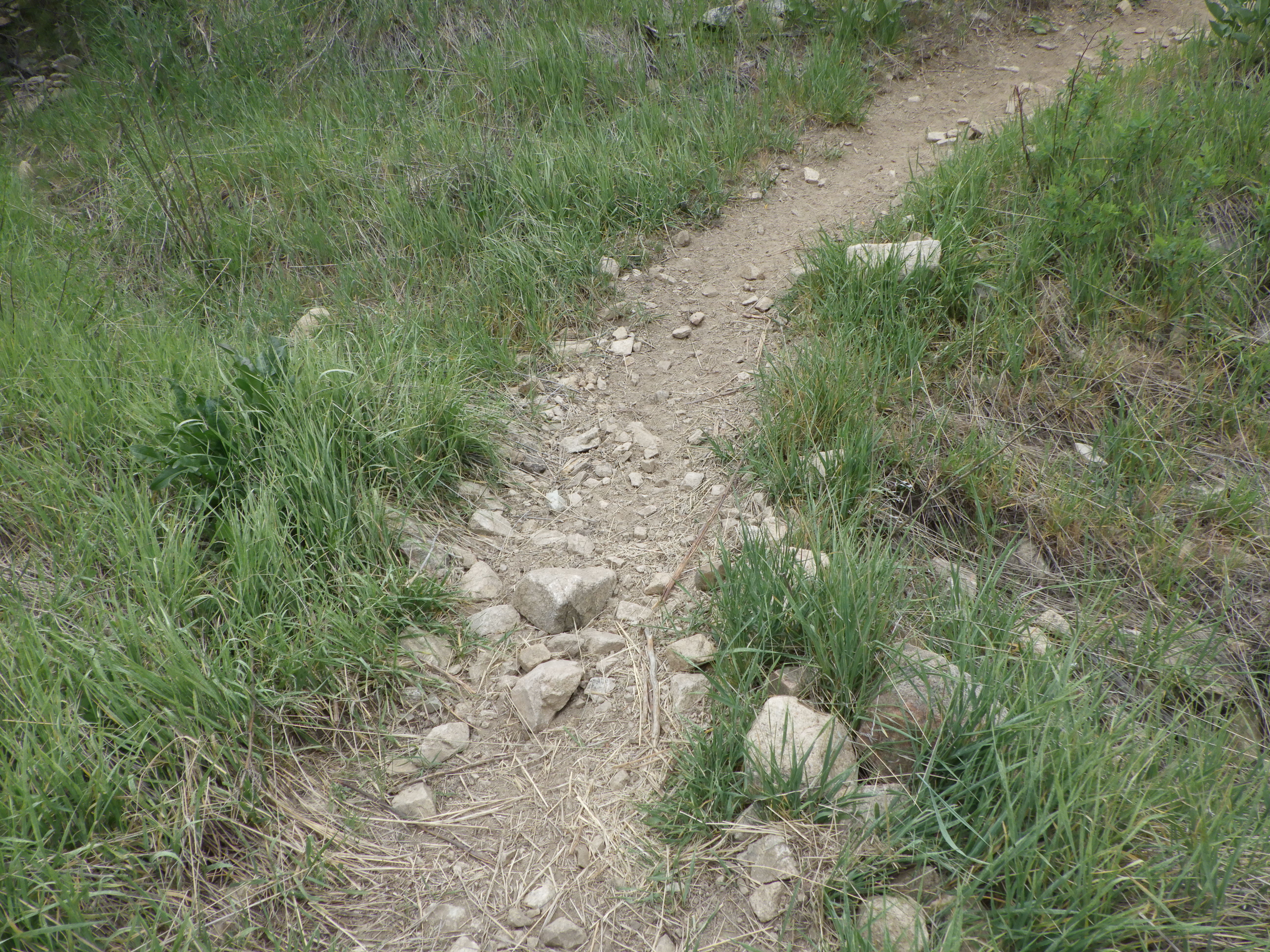
| Ambrose told me all the side streams were dry, and I, sadly, confirmed that. |
 |
| Also dry 🙁 |
 |
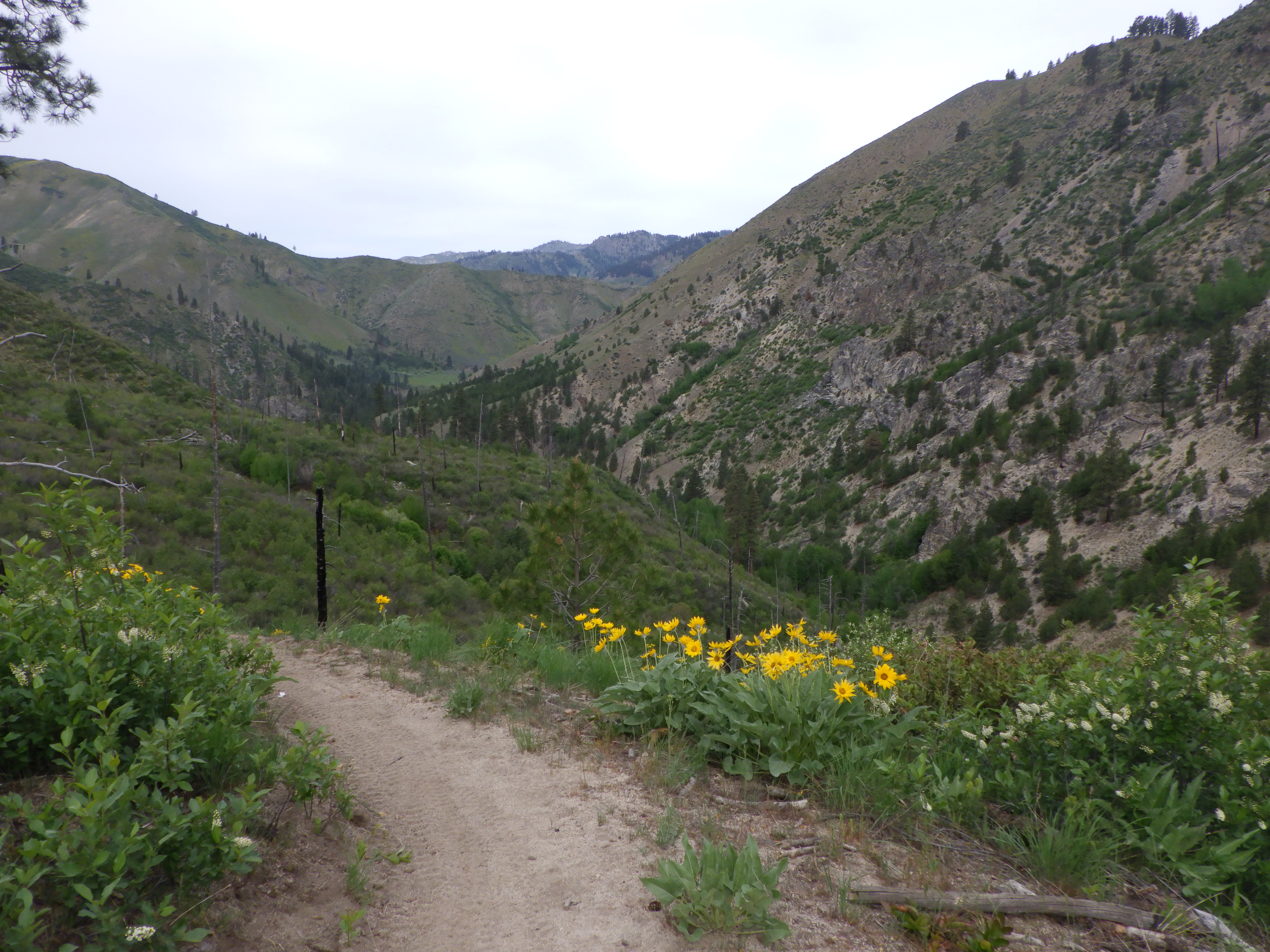
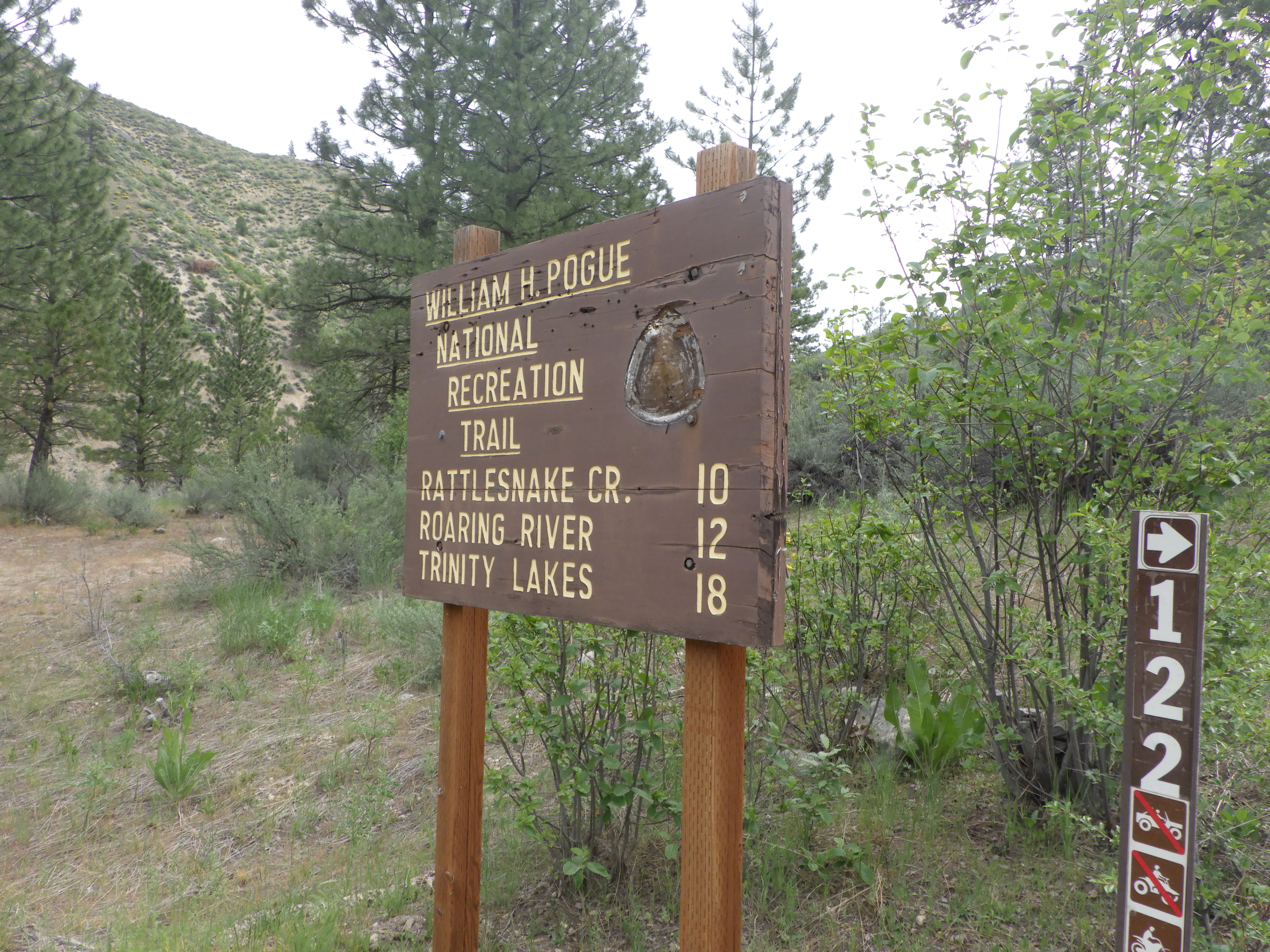
| So soon to the junction! |
 |
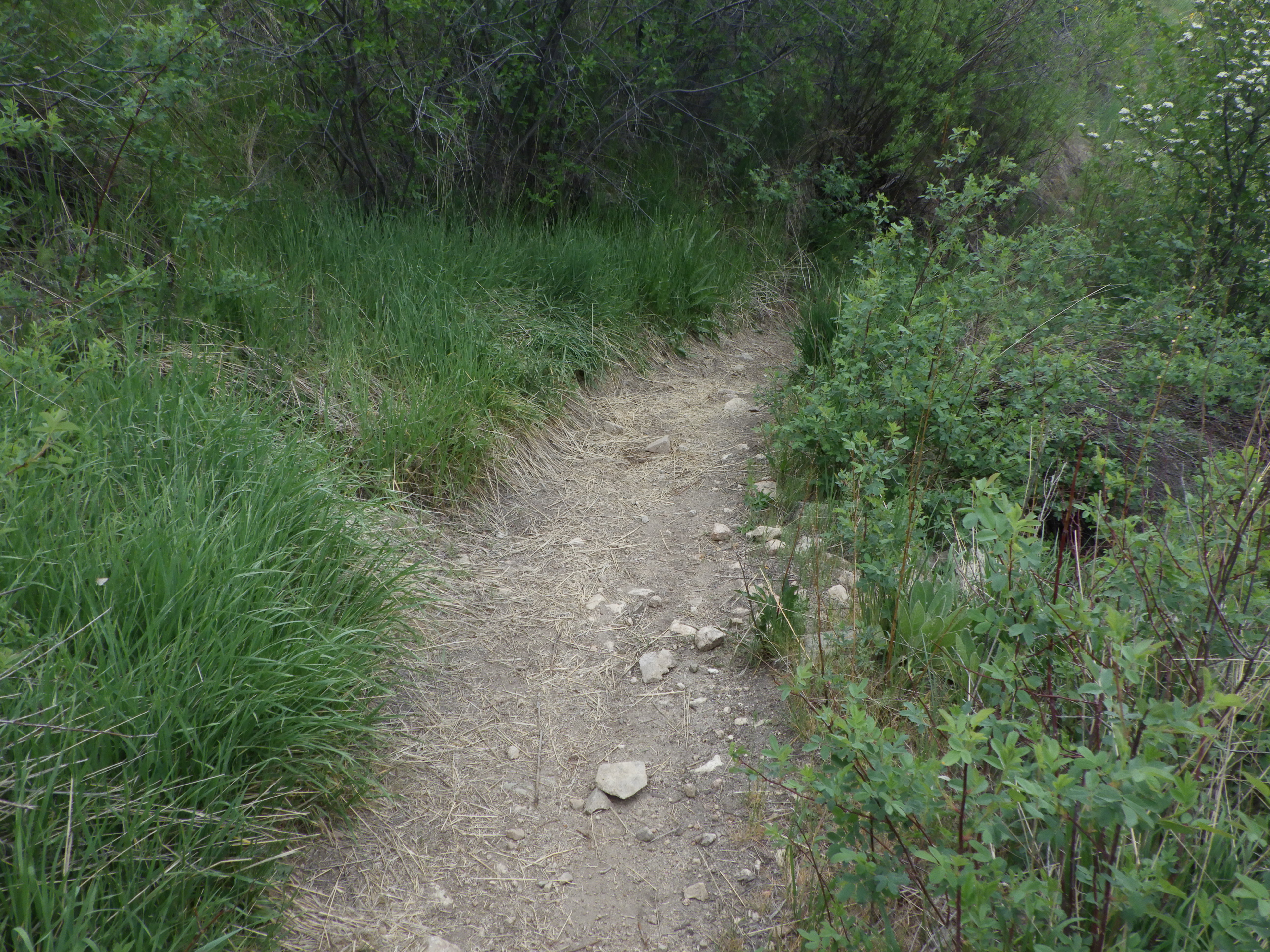
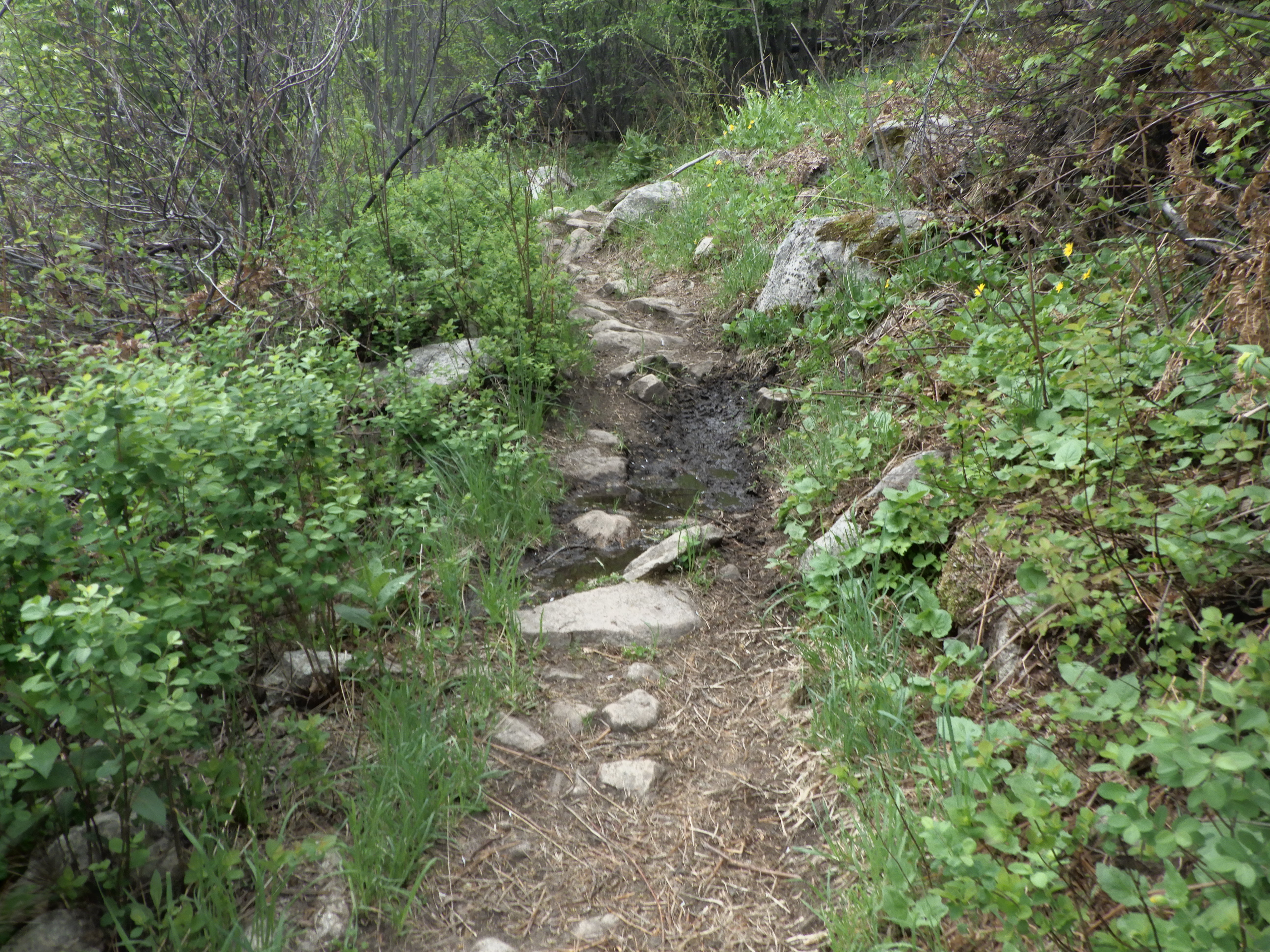
| More dry trail, even up and down stream of where it crosses the trail. |
 |
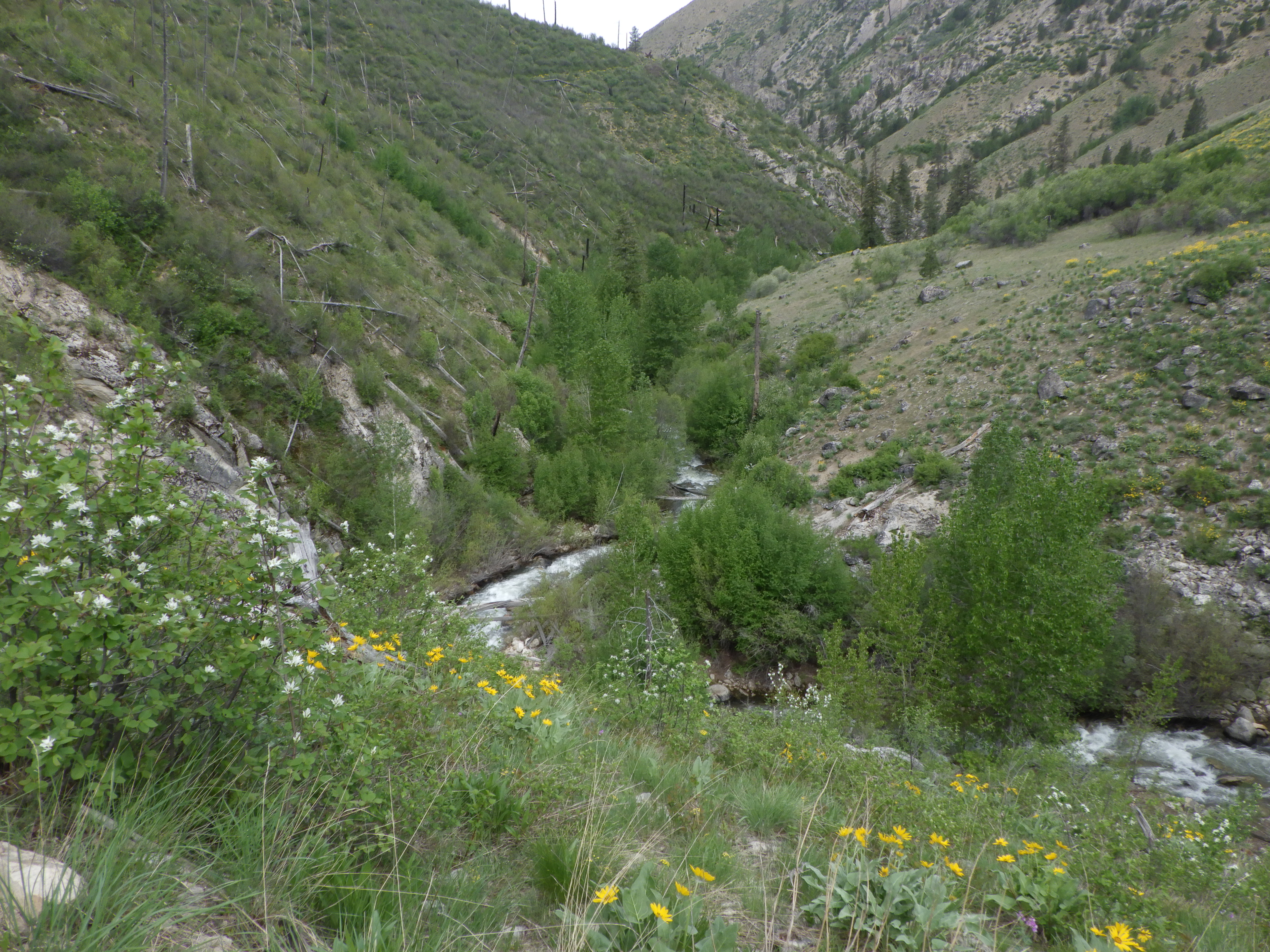
| Taking a break to look down at the water. |
 |
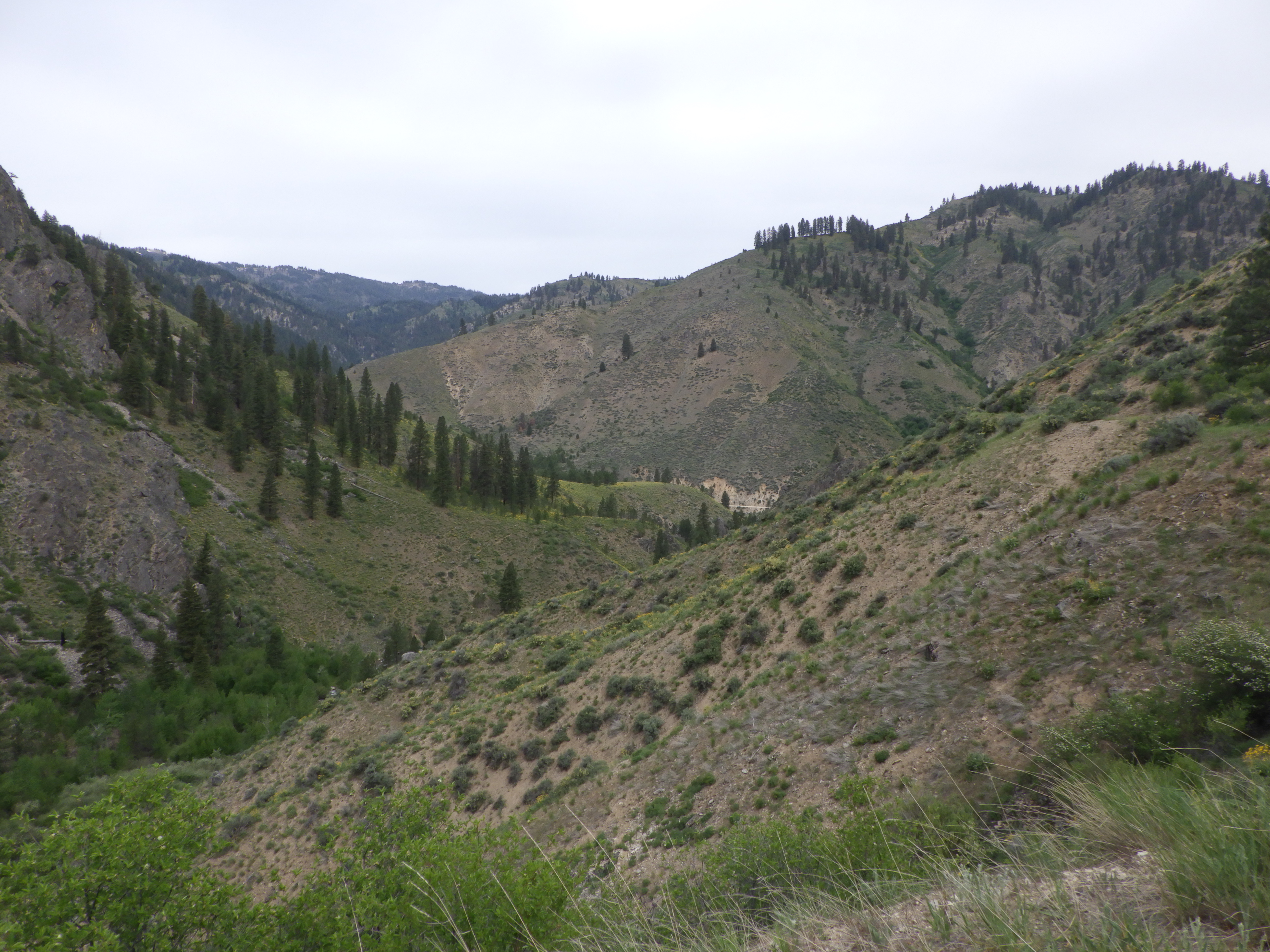
| I haven’t been out this way in a number of years – we usually take the junction. |
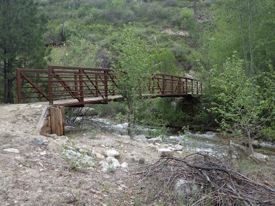 |
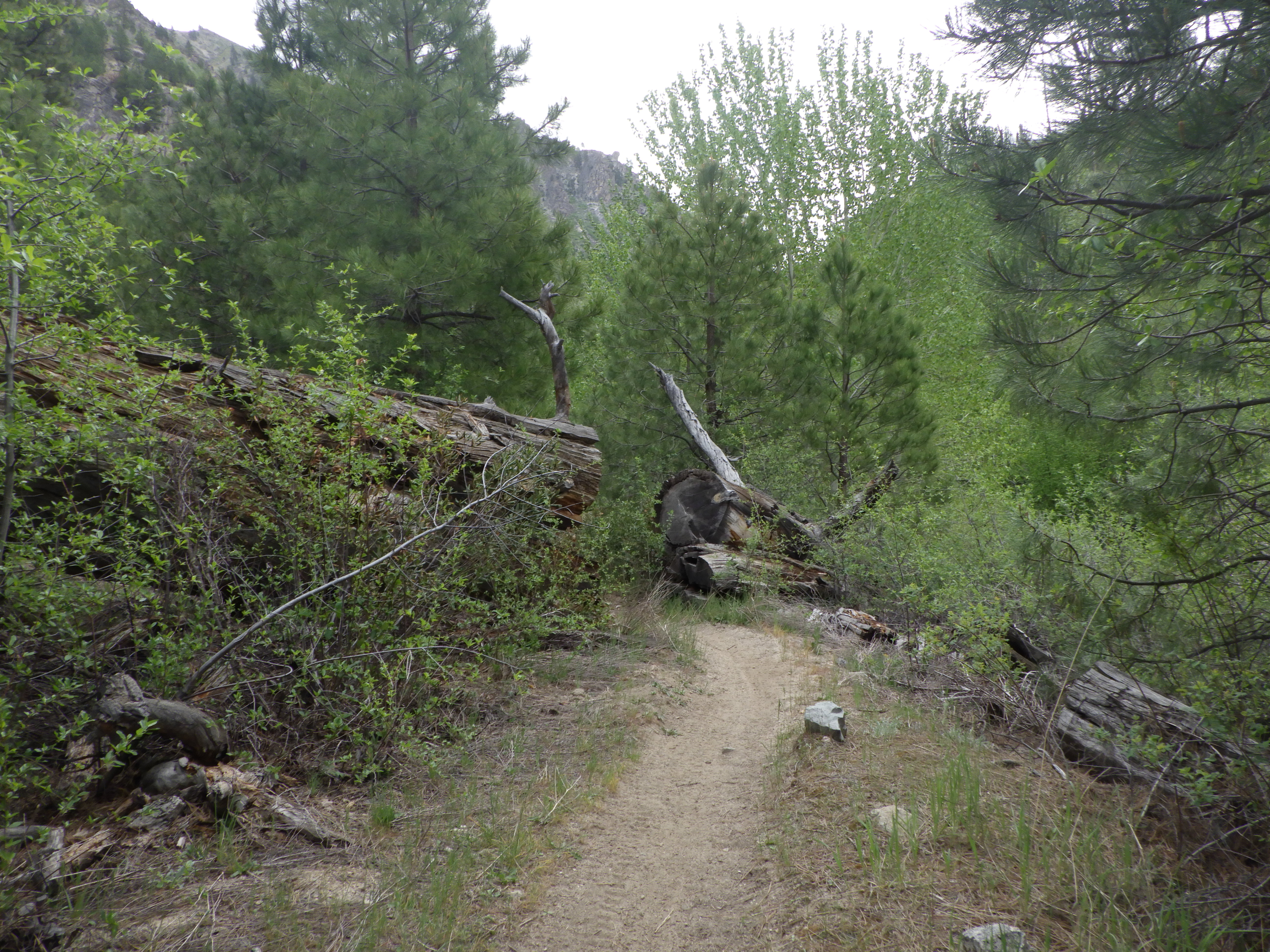
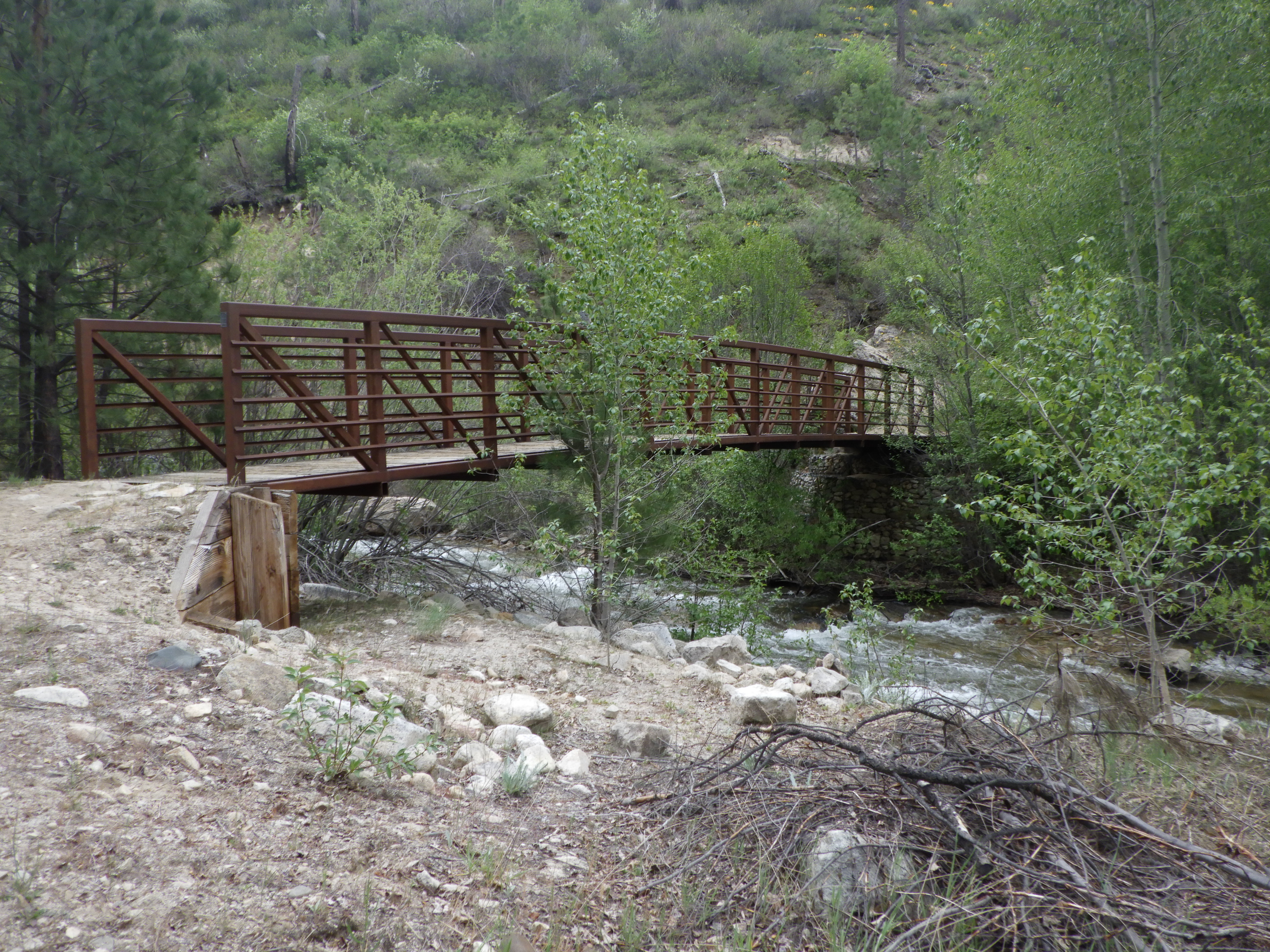
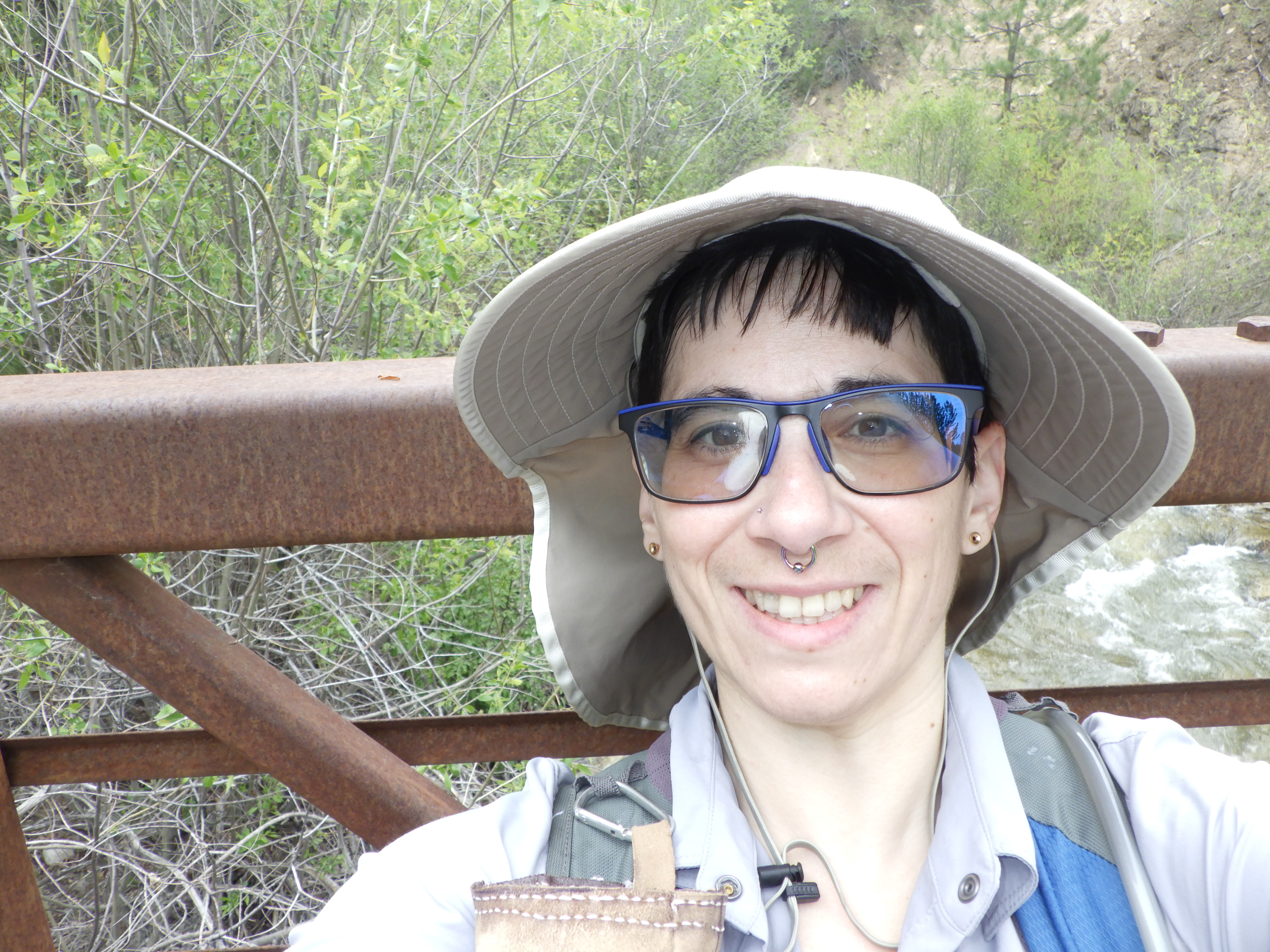
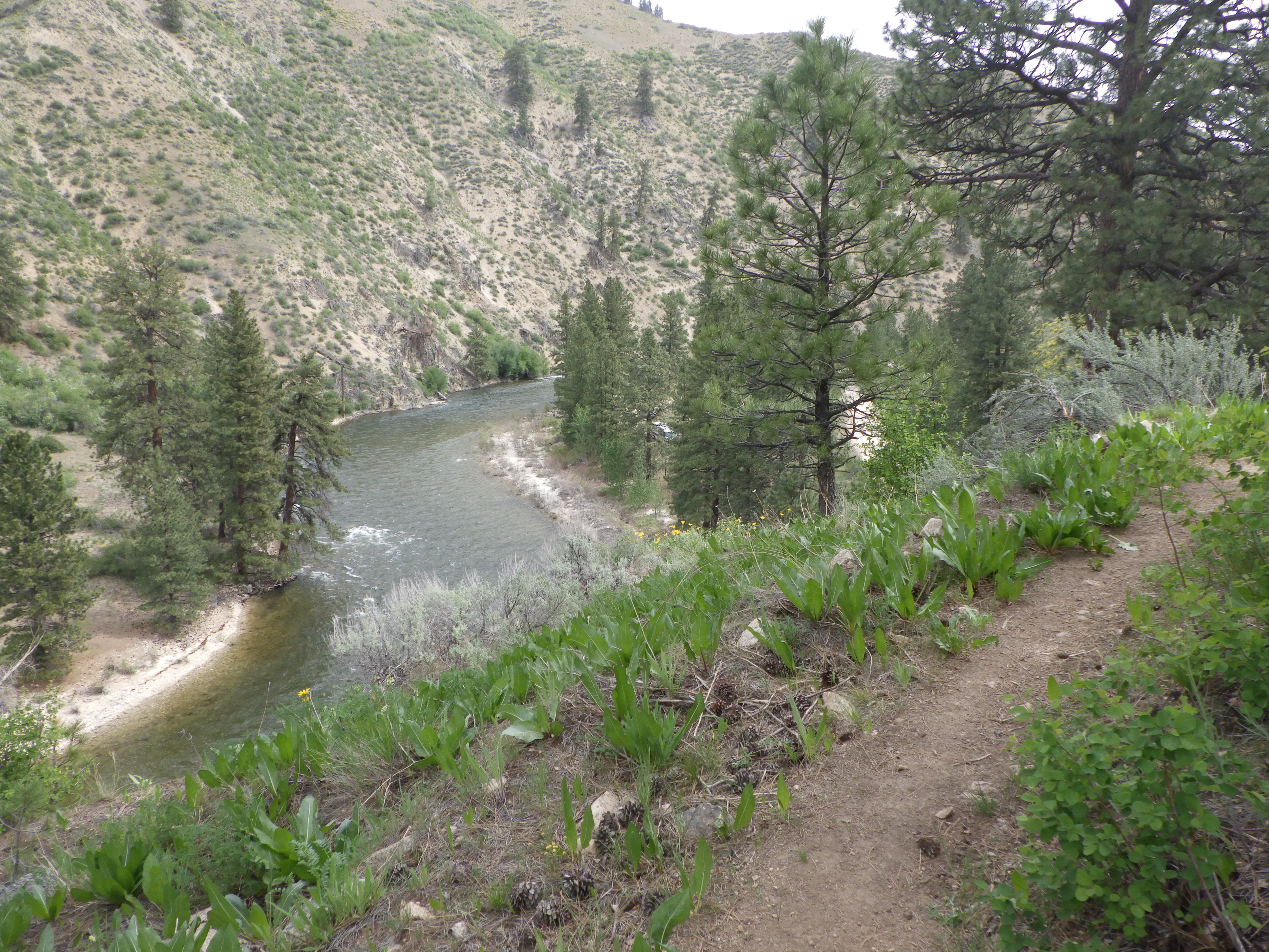
| But today, I got all the way to the bridge. |
 |
| Bridge selfie! I decided to continue hiking for a while past the bridge. |
 |
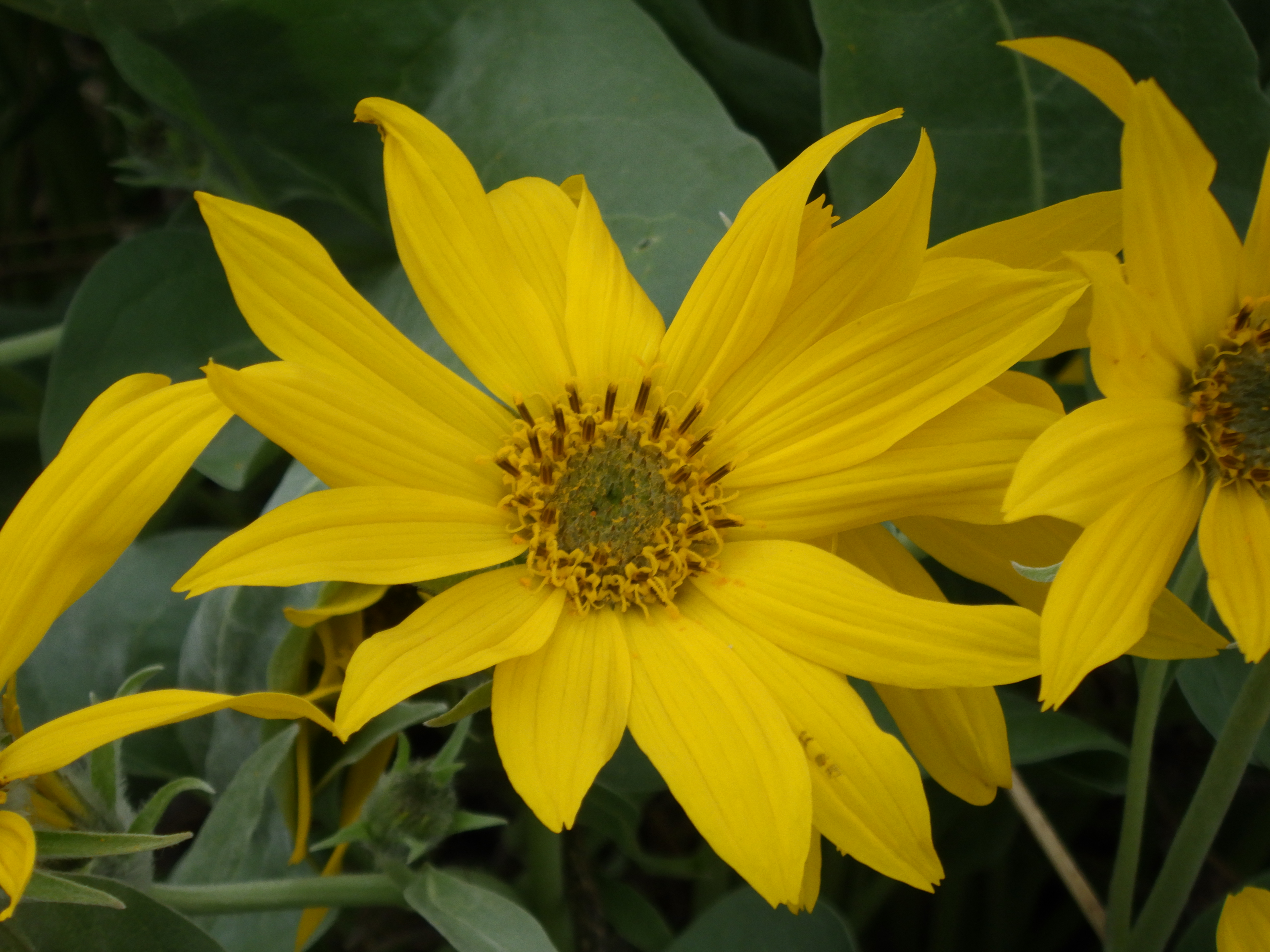
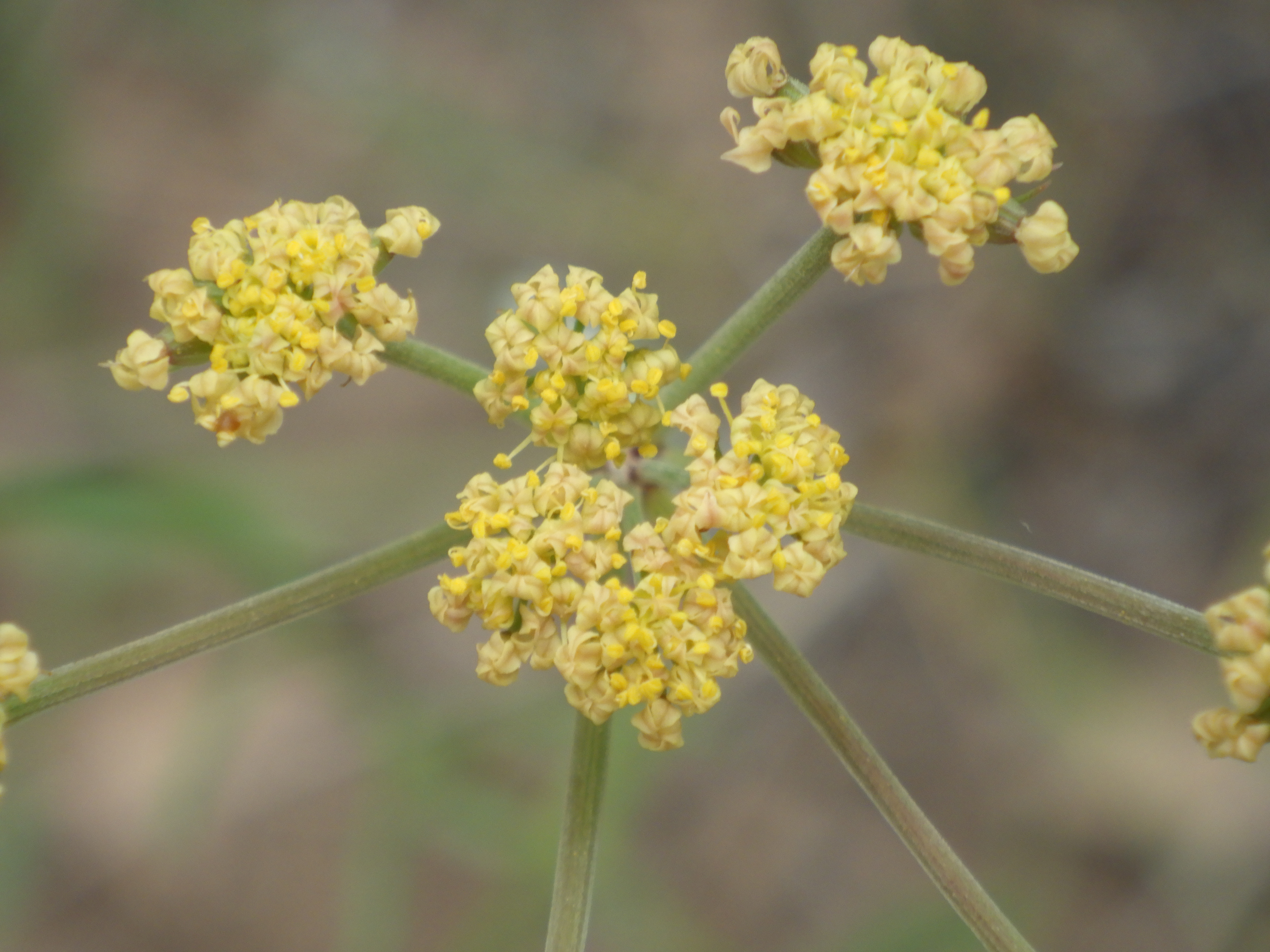
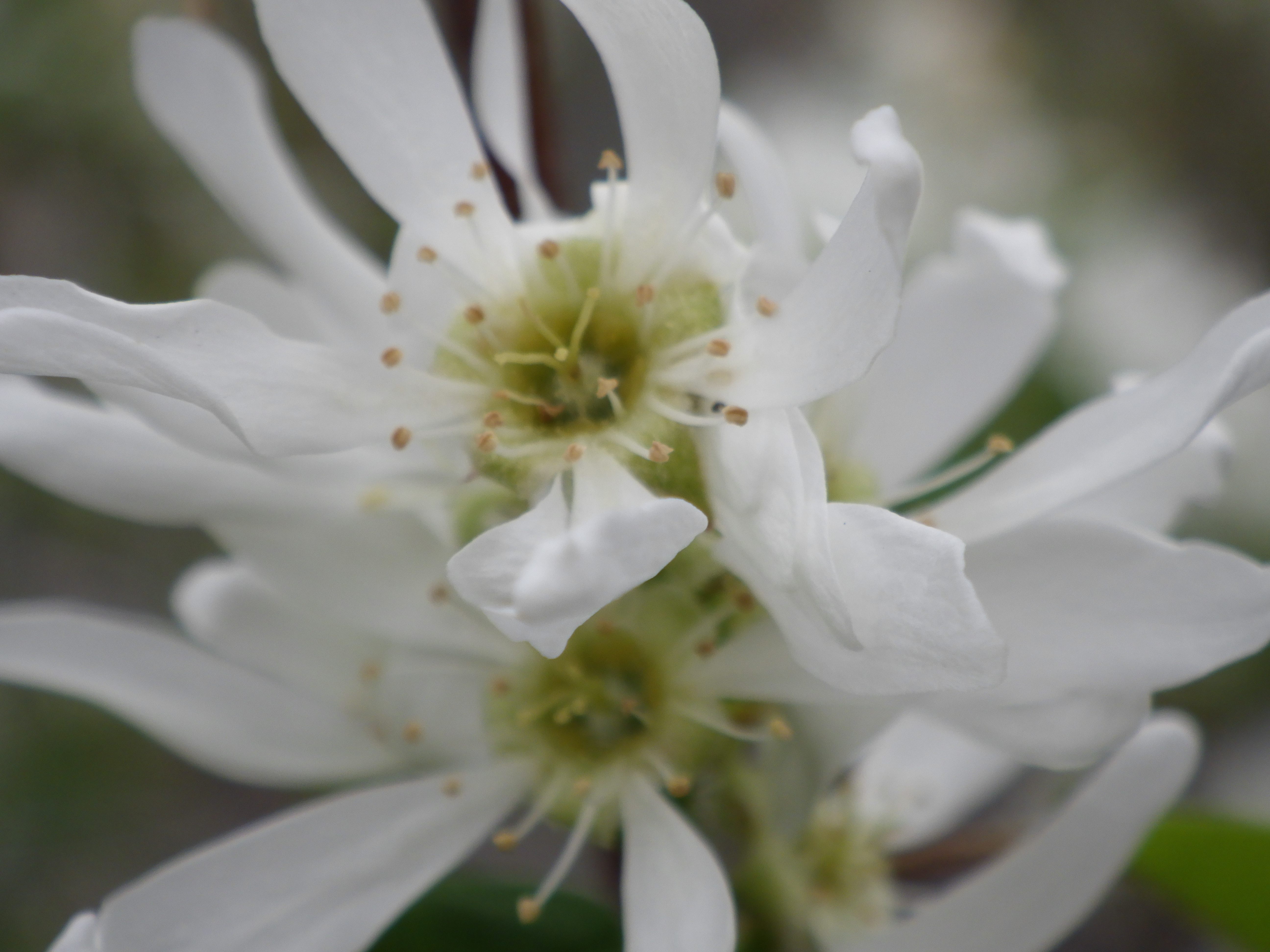
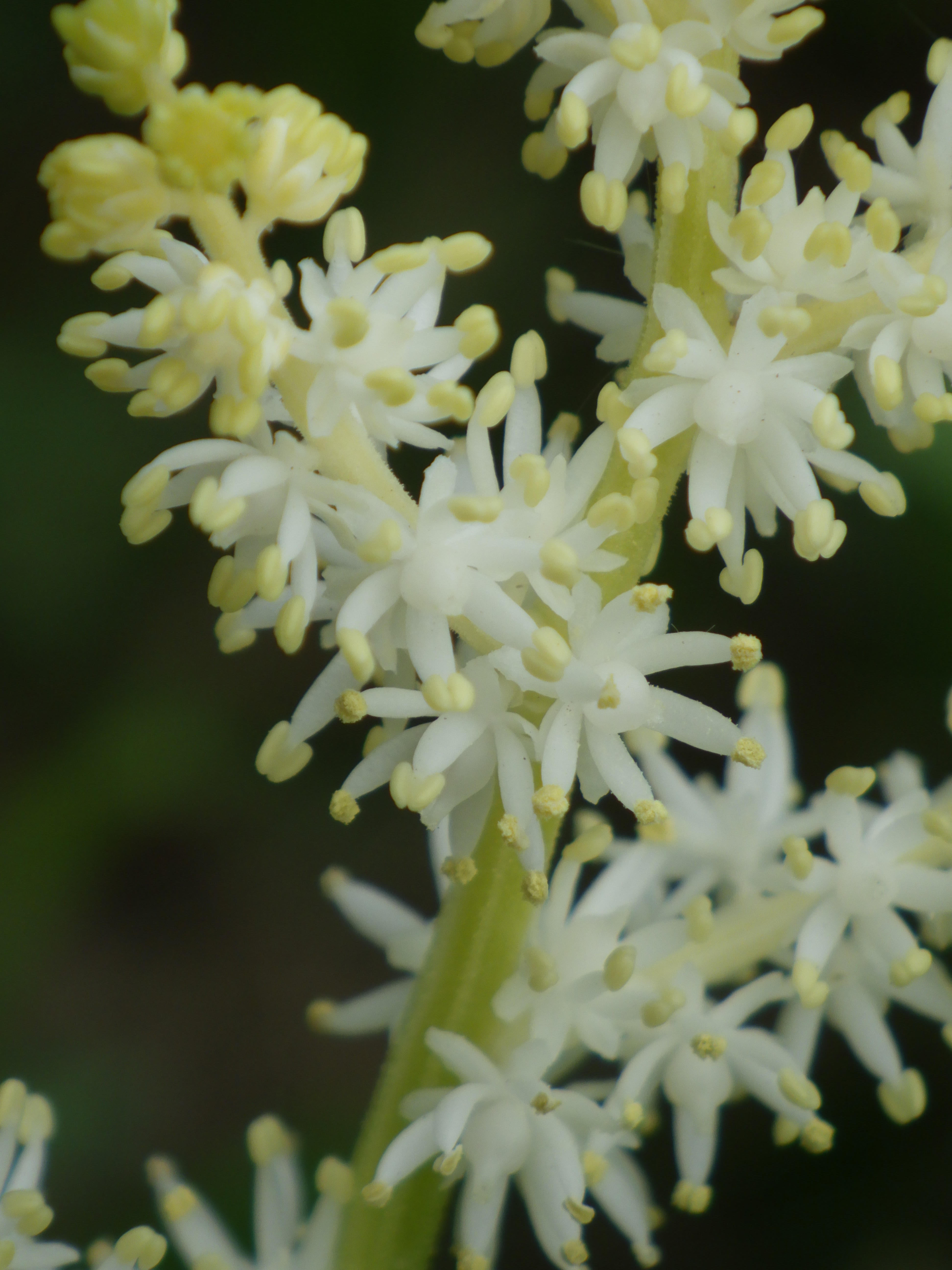
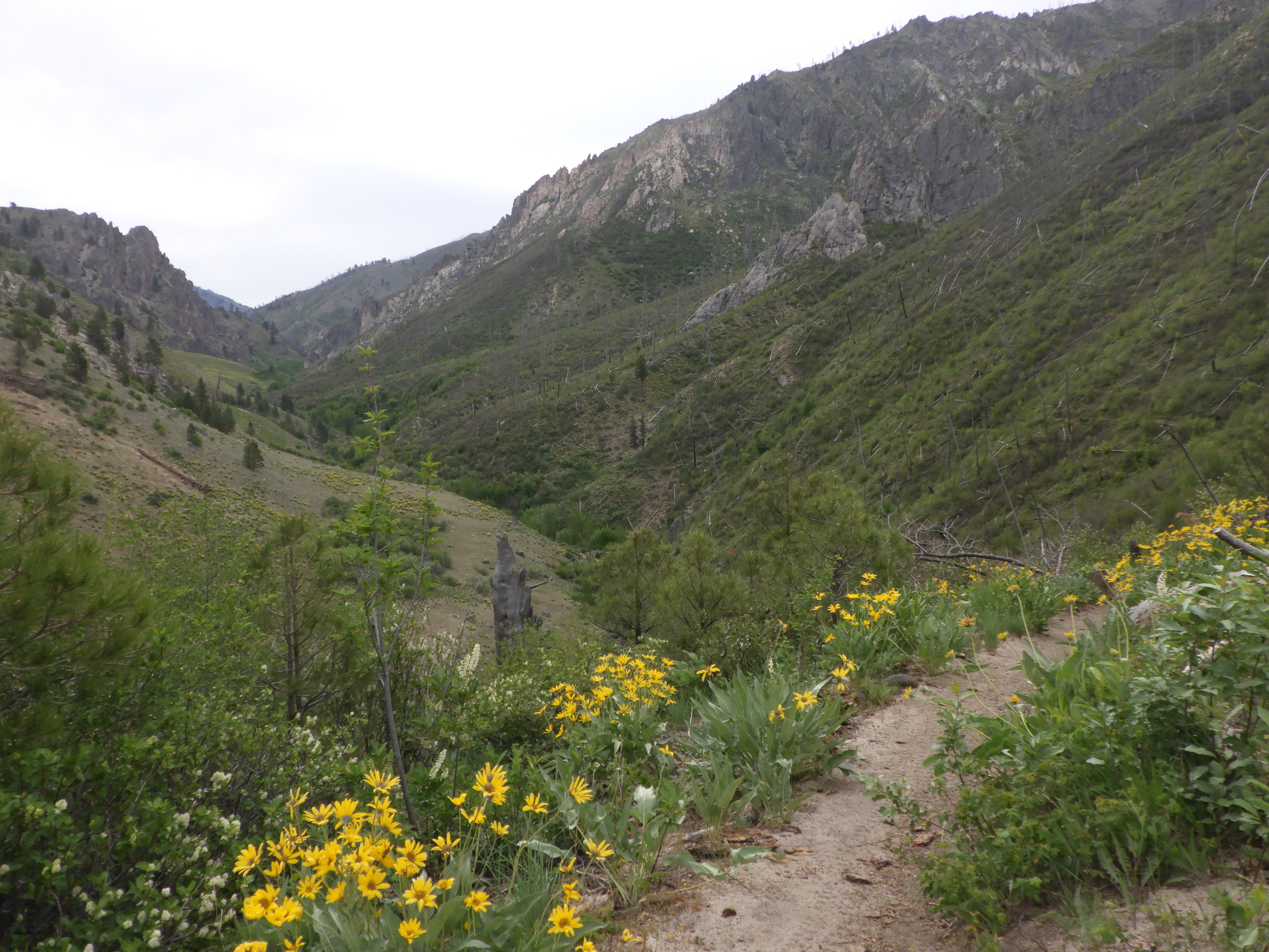
| While water may have been low, there was a profusion of wildflowers. |
 |
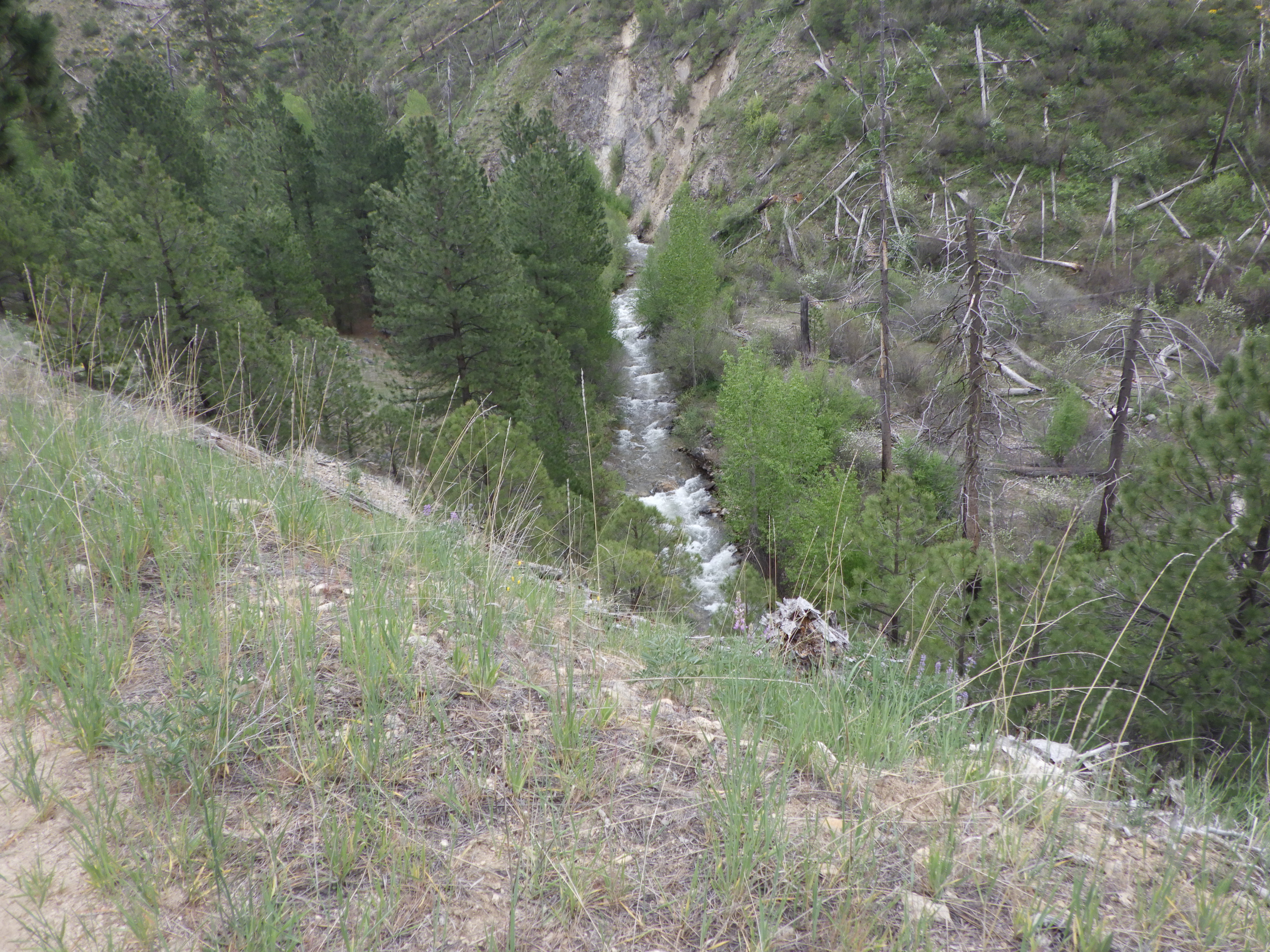
| What ho! There’s water on this side of the creek! |
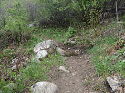 |
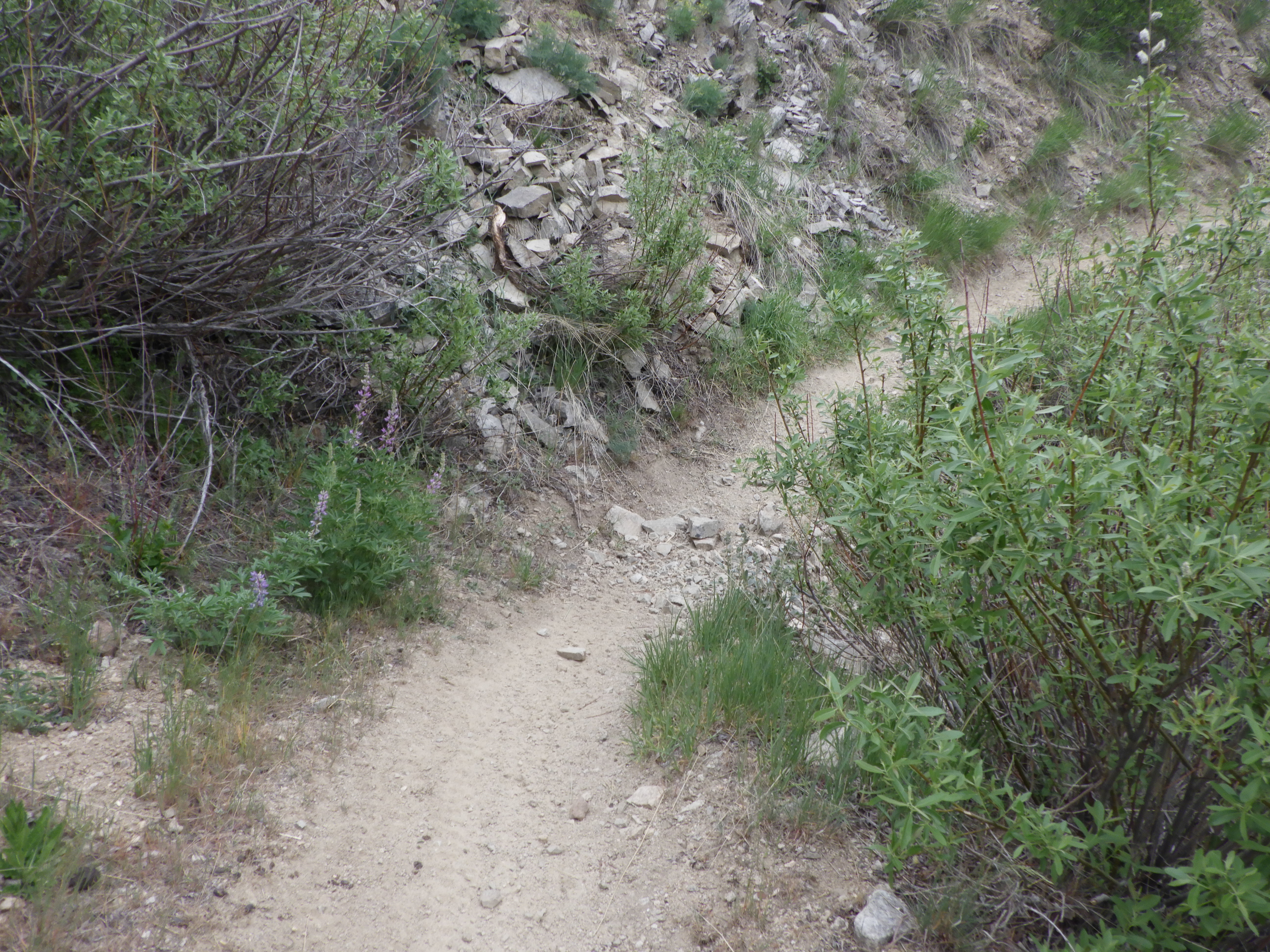
| And there’s even some that’s flowing over the trail. |
 |
| I almost turned back here, but ended up descending for a bit. I decided to turn back before I got to the crossing because I was ready. |
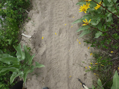 |
| Hoofprints! I wasn’t first on the trail this morning. |
 |
| Heading back, I passed by two hikers heading in. |
 |
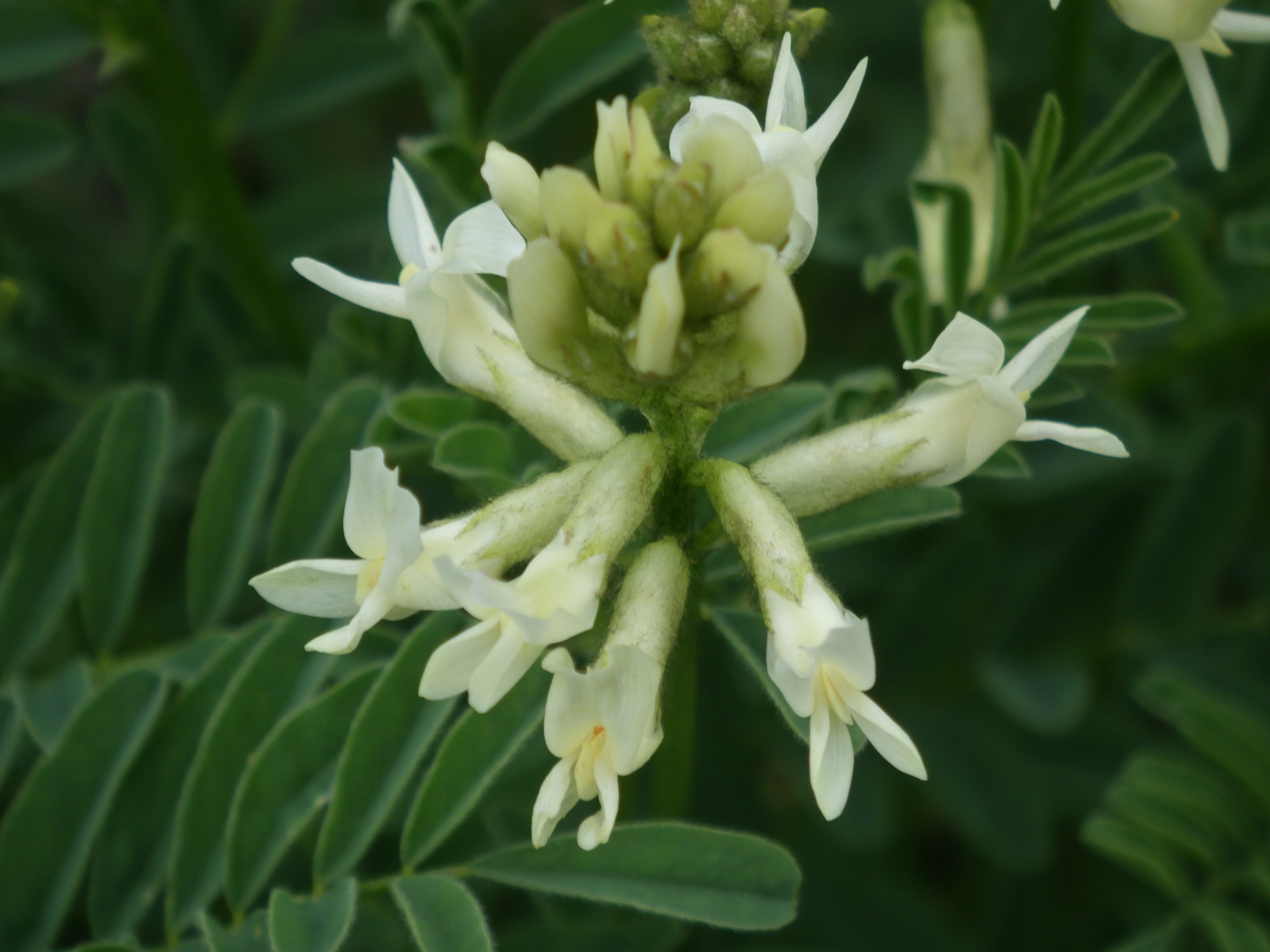
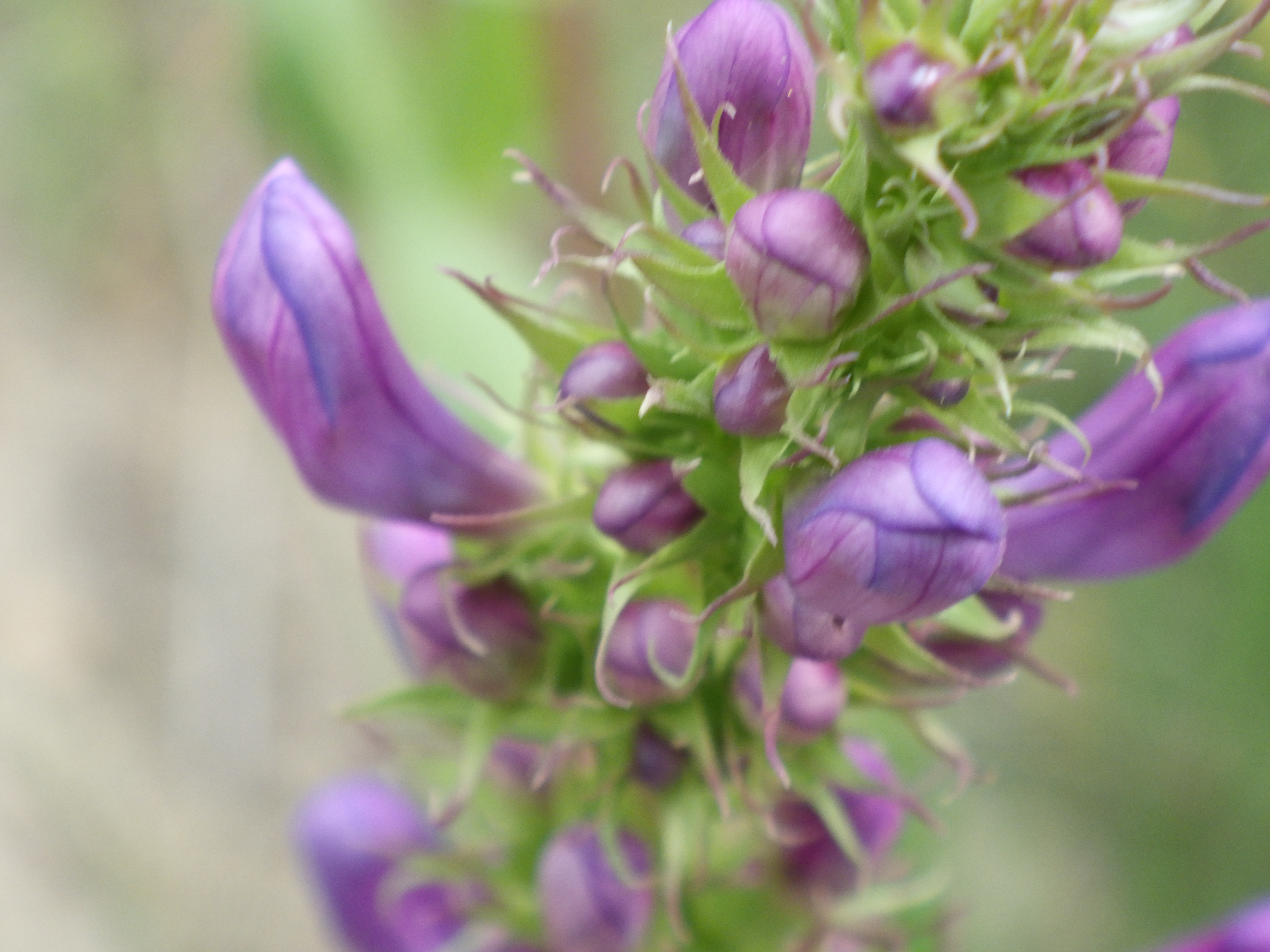
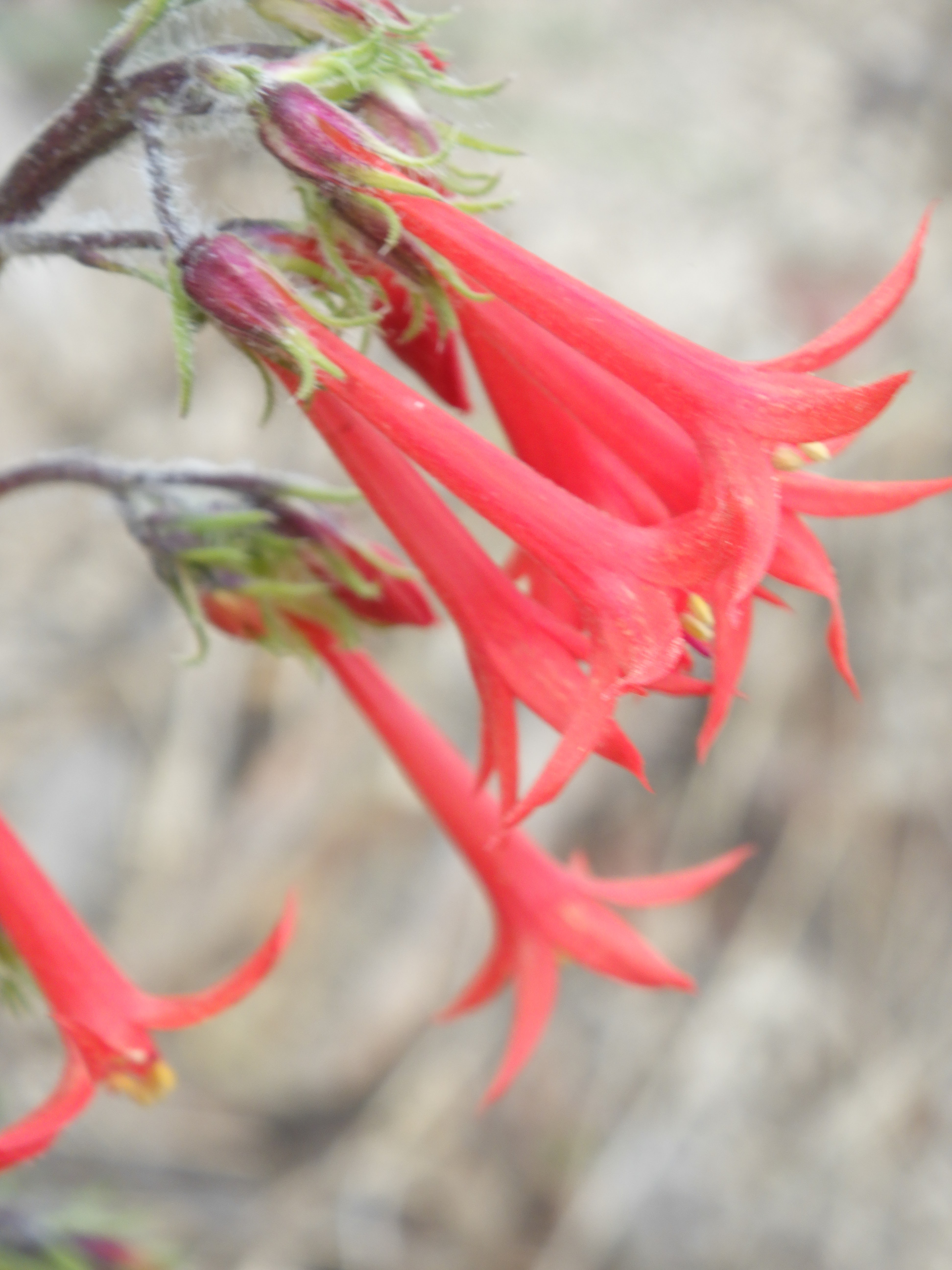
| Scarlet Gilia |
 |
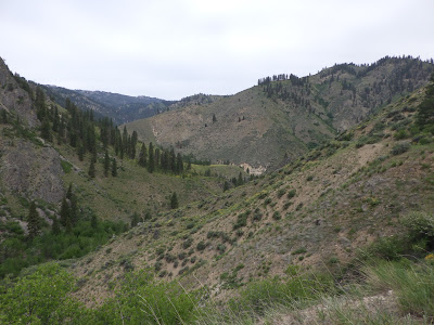
| I don’t get tired of this view. |
 |
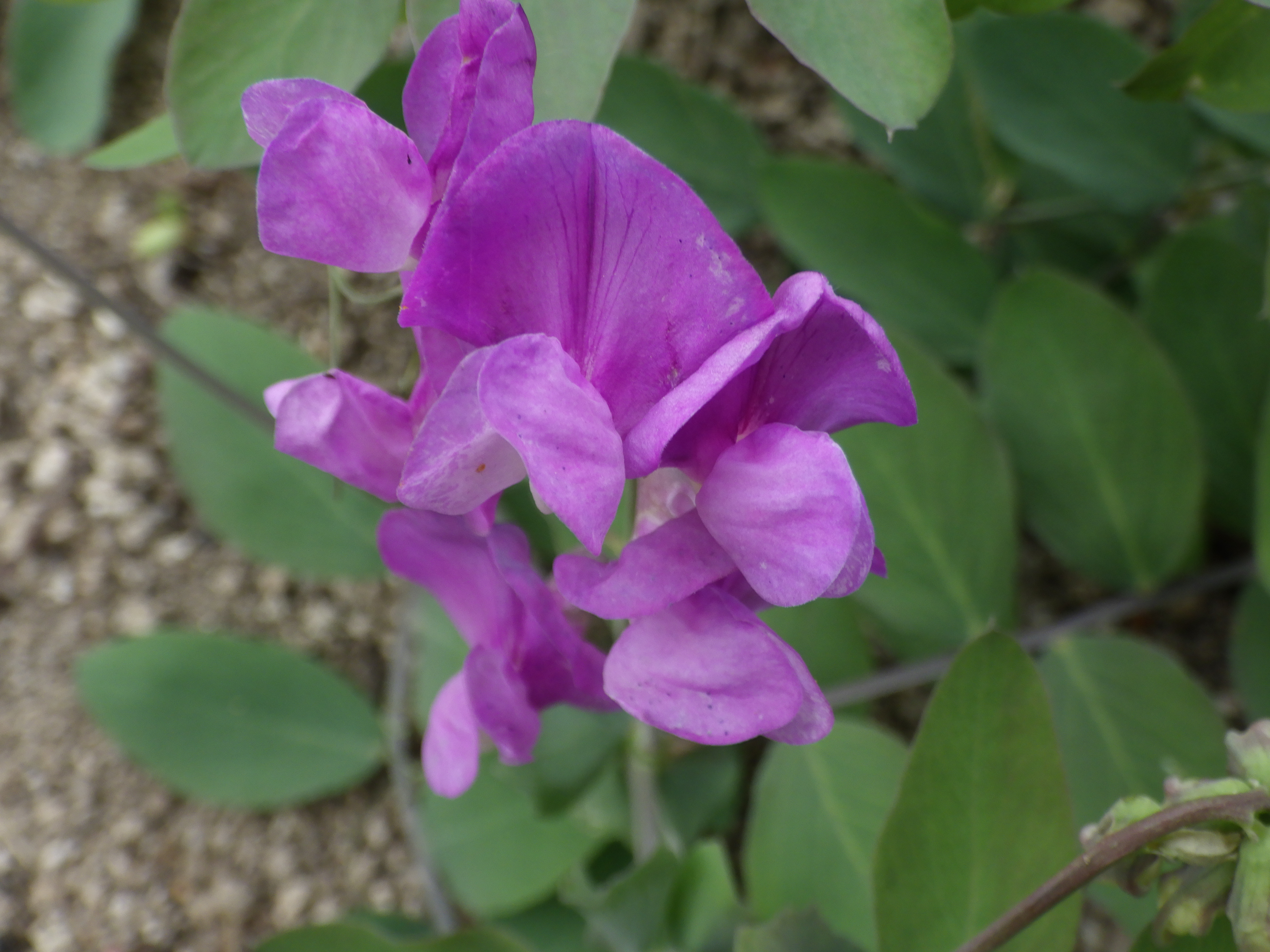
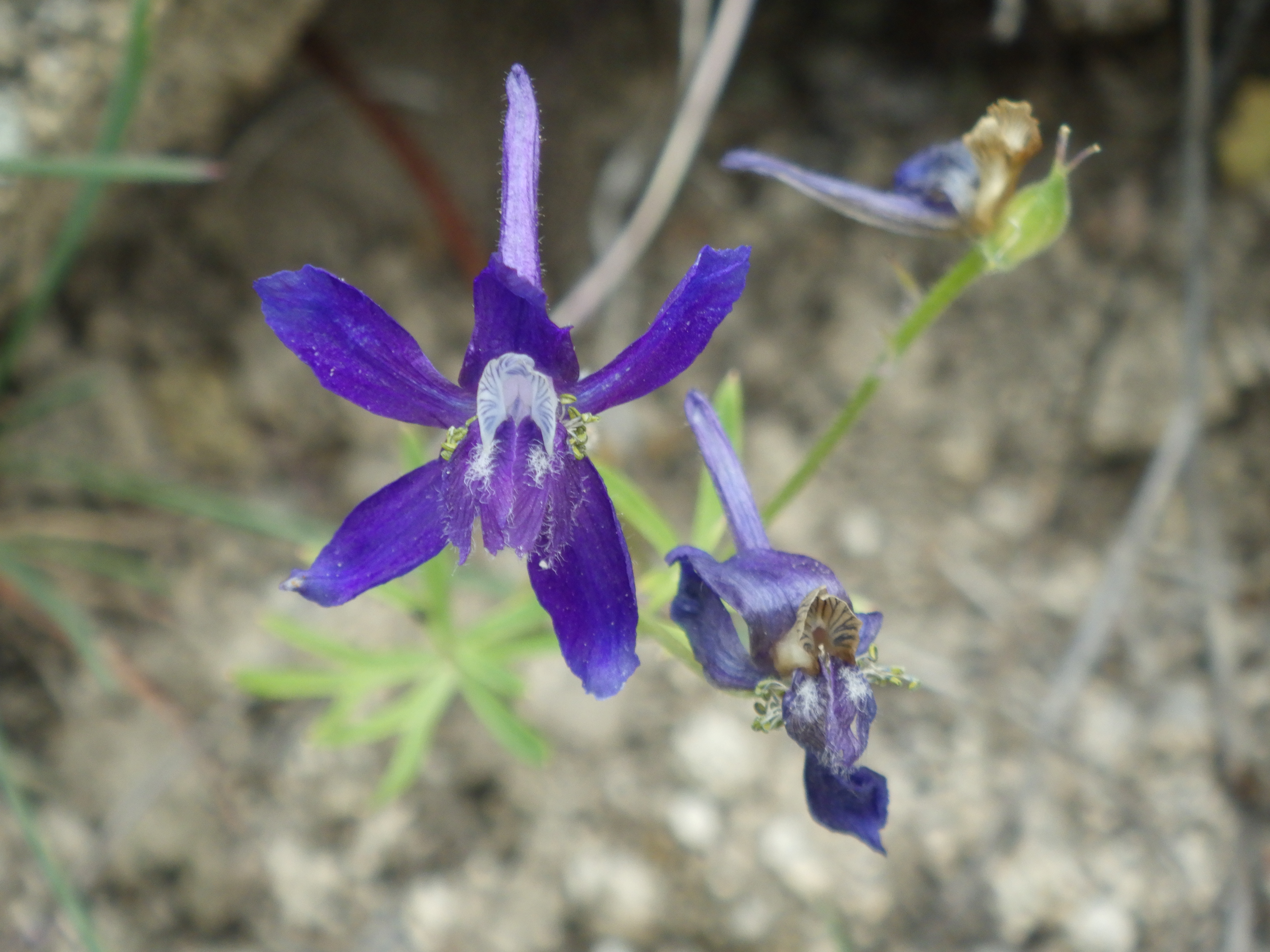
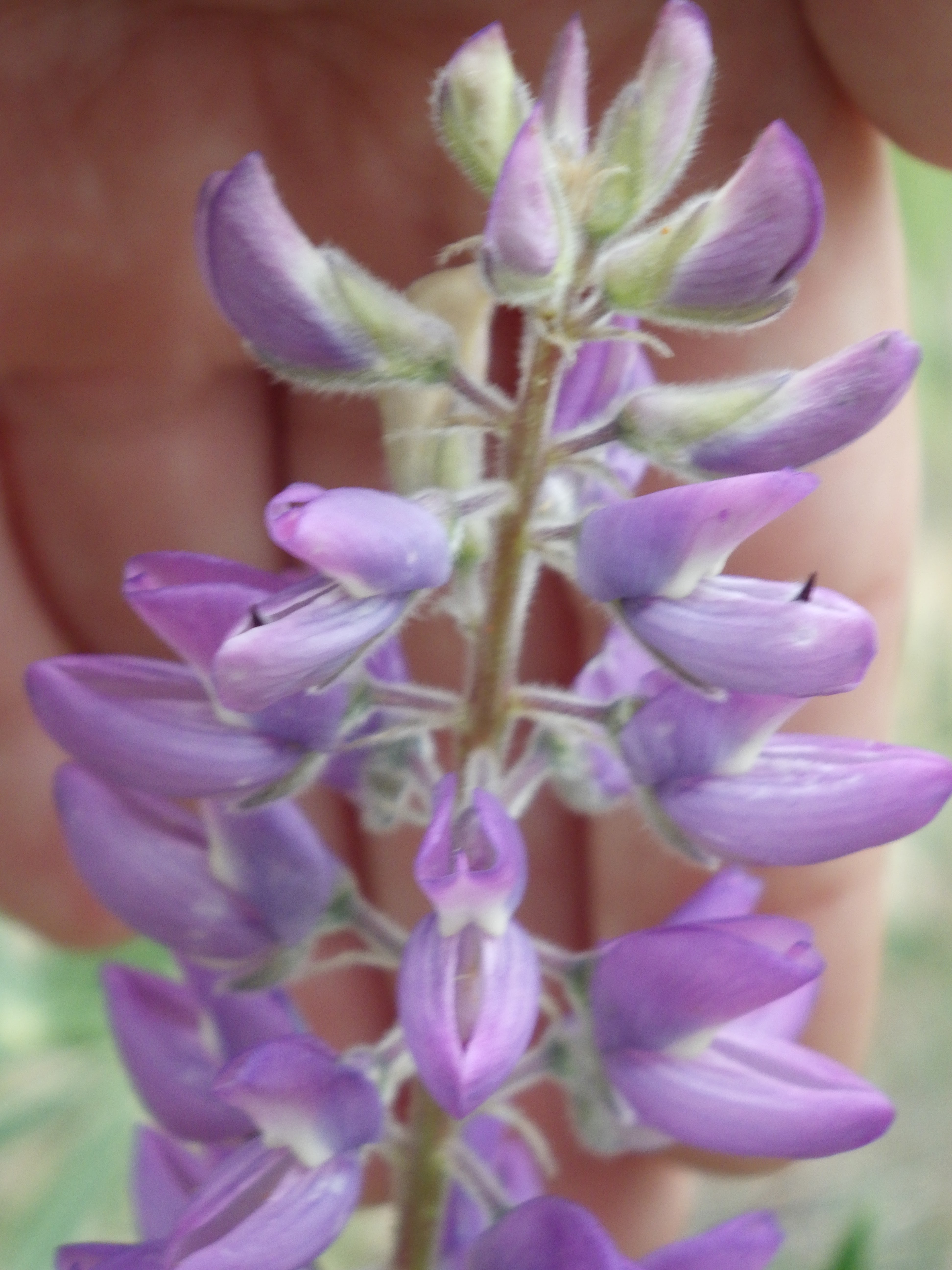
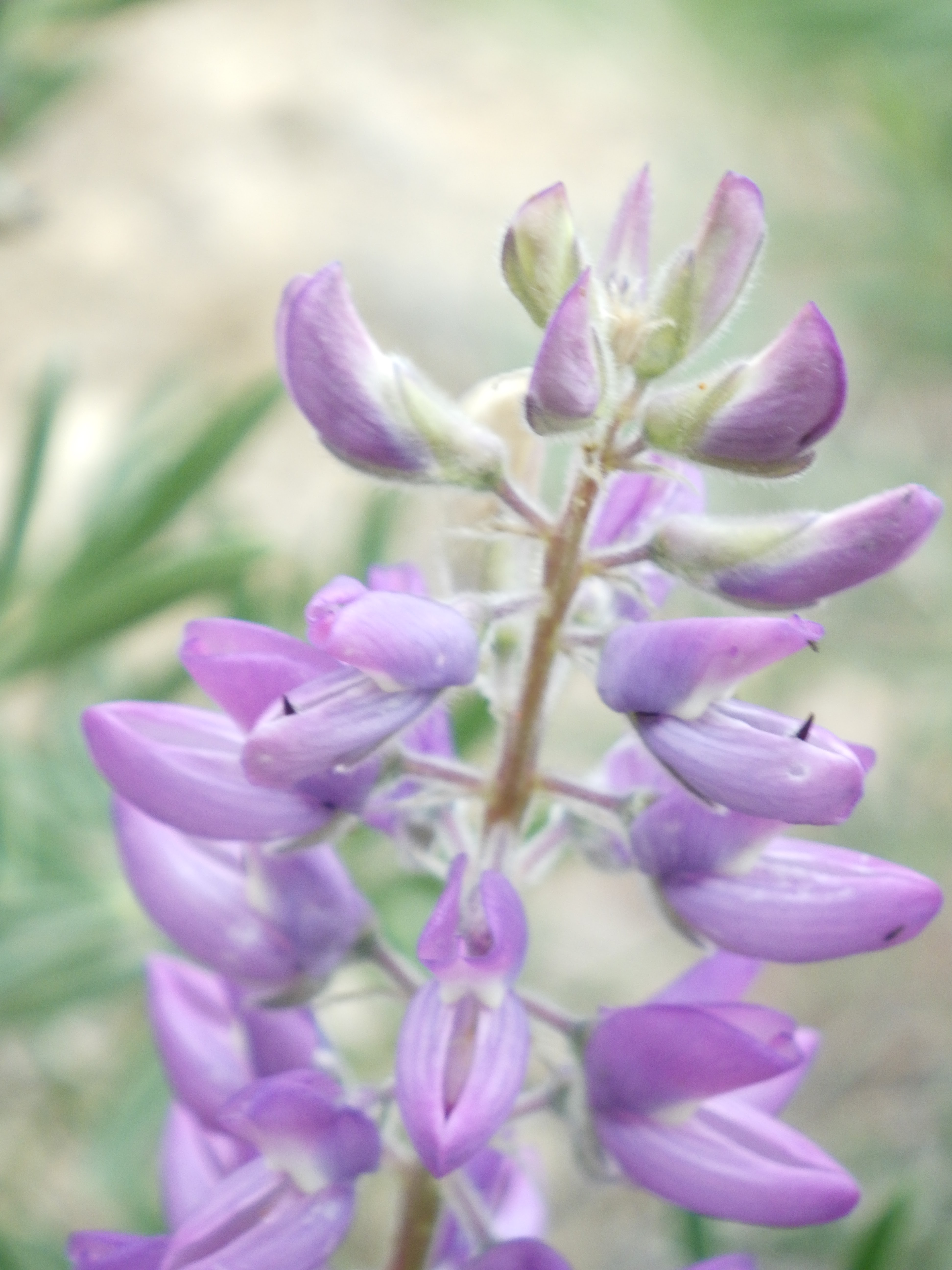
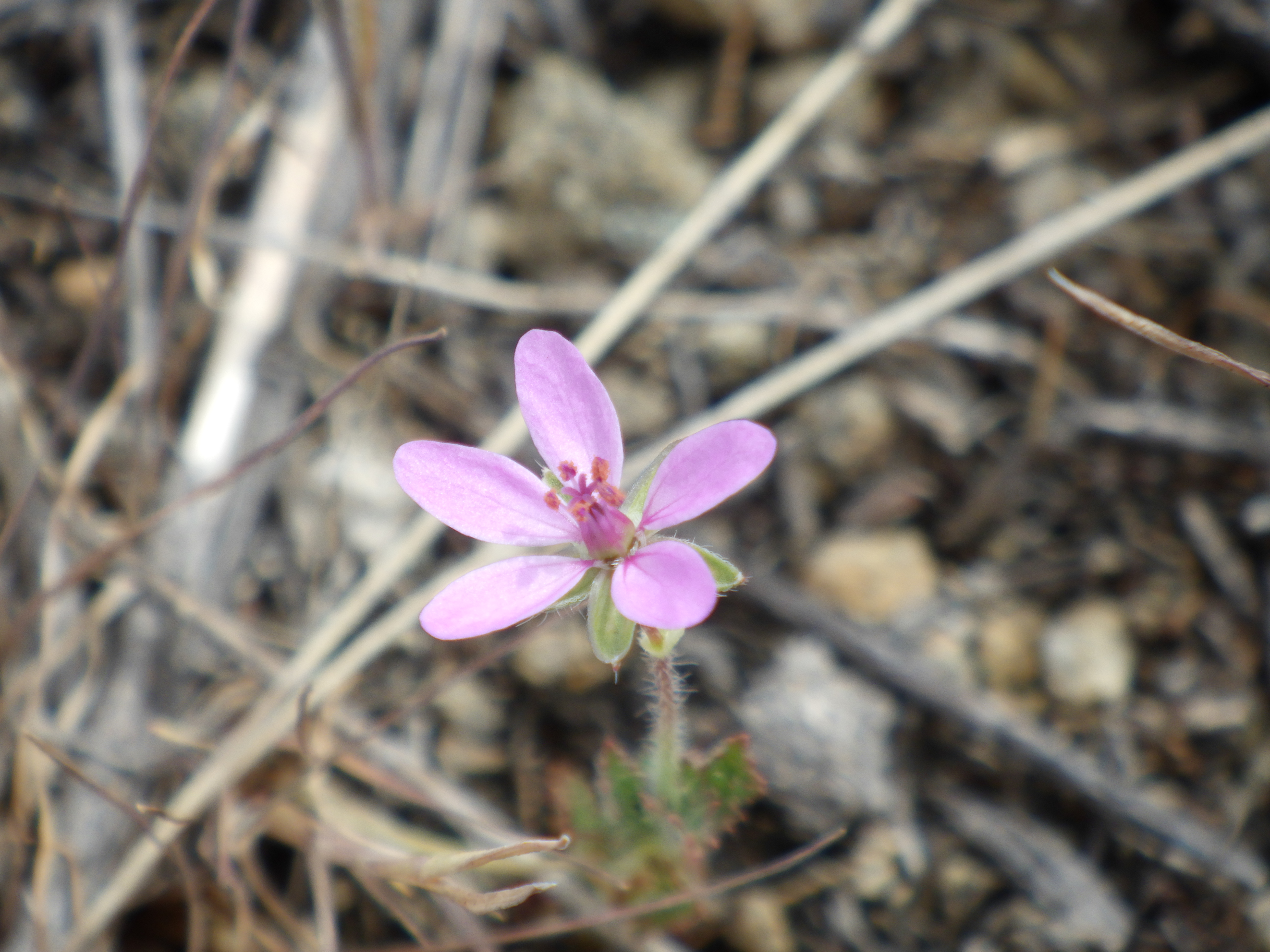
| I use a point and shoot camera, and I typically stick with the auto-focus. It doesn’t always want to focus on flowers, especially the small ones. It likes to catch the grass behind instead. So, my trick is to put my hand behind the flower and then hit the auto-focus. Usually I move my hand and then snap it (see below for that version). |
 |
| I was glad of a cloudy day, since the waterless side of the trail can get mighty hot in the sun. The rocks on the trail reflect the heat right into your face. |
 |
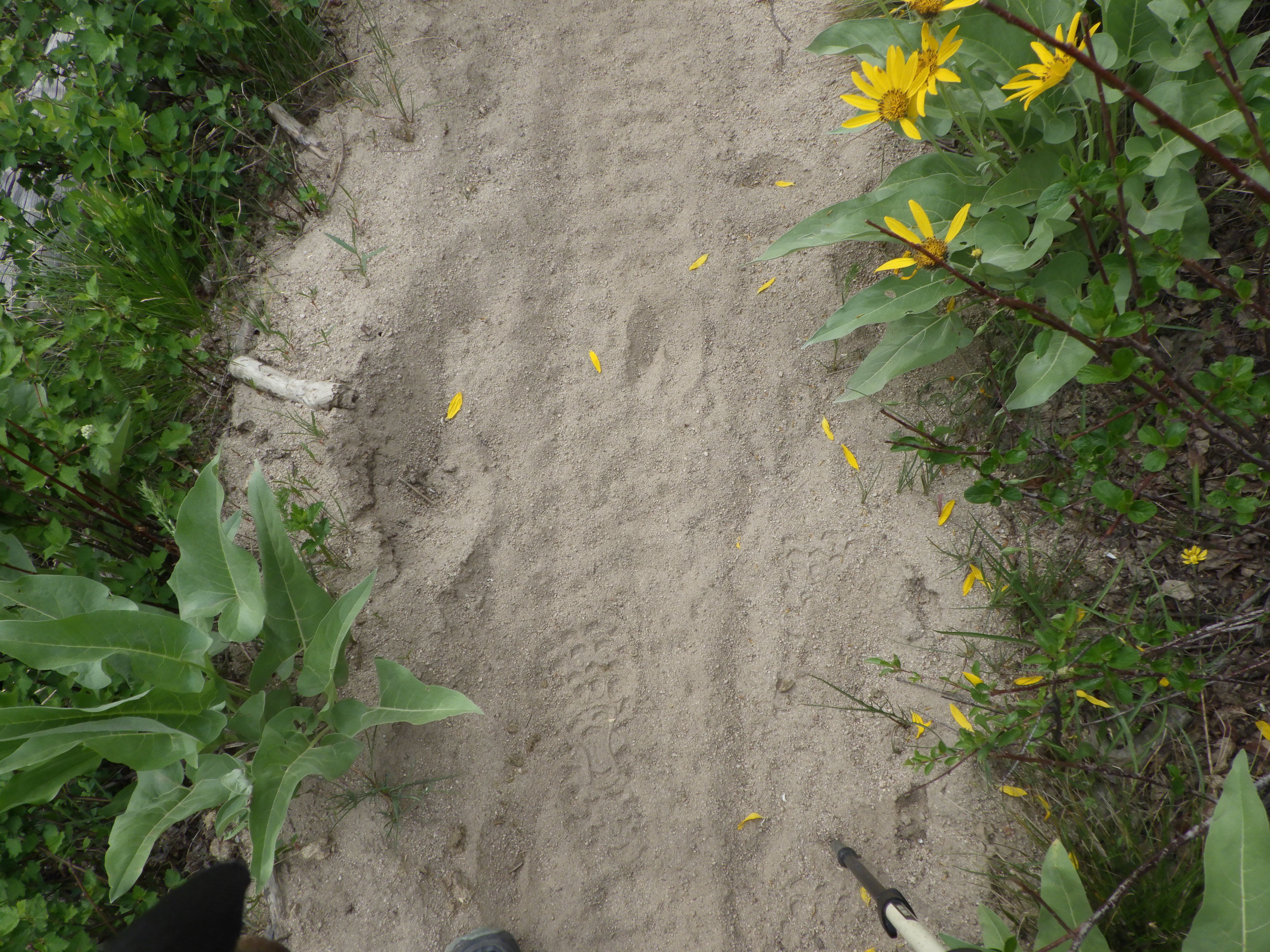
| The road’s in sight, I’m almost there. |
 |
| Closing in on my last steps. |
 |
| Back to the trailhead. |
According to the Gaia GPS track I recorded, I hiked 7.6 miles in 3 hours and 23 minutes. Not bad for a day’s hike.